Wellington

Settlement in Somerset Somerset West and Taunton

England

Wellington

Dobrée Park, Rockwell Green
Dobrée Park, Rockwell Green Credit: Jonathan Thacker

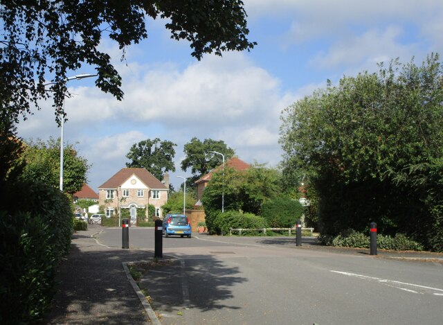
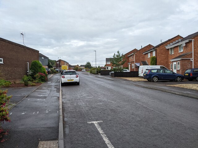
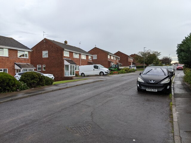
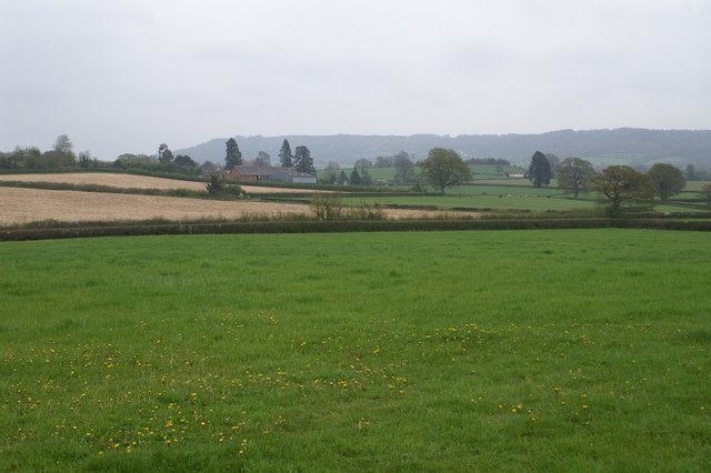
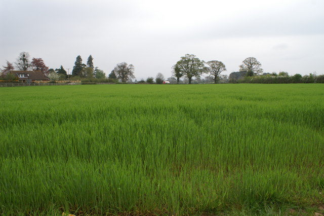
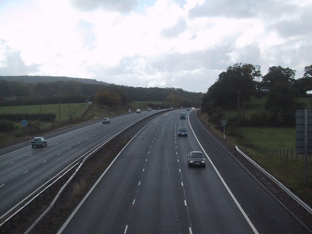
Wellington is a small town located in the county of Somerset, England. Situated approximately 7 miles west of Taunton, it lies at the foot of the eastern edge of the Blackdown Hills, an Area of Outstanding Natural Beauty. With a population of around 15,000 people, Wellington is known for its picturesque setting and rich history.

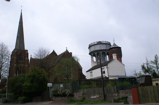
The town dates back to at least the 11th century, with evidence of Roman and Saxon settlements in the area. Wellington's economy was historically centered around agriculture, particularly the wool and cloth industries. In the 18th and 19th centuries, the town saw significant growth due to the establishment of a number of mills and factories, contributing to its industrial heritage.

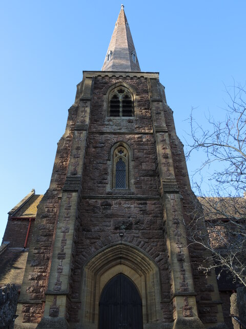
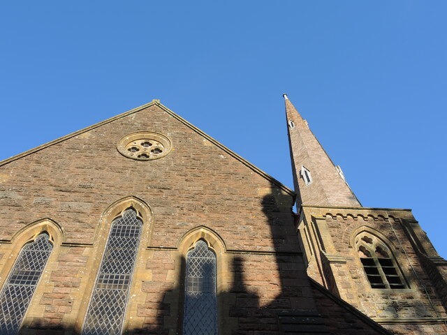
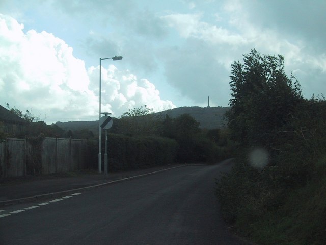
One of Wellington's most notable landmarks is the Wellington Monument, a tall obelisk standing on the nearby Blackdown Hills, built in memory of the Duke of Wellington. The town itself has retained much of its historic character, with several Georgian and Victorian buildings lining its streets.

Wellington offers a range of amenities and attractions for both residents and visitors. The town center features a variety of shops, cafes, and restaurants, as well as a market held twice a week. The Wellington Museum provides insight into the town's past, while the Wellington Park offers recreational spaces and hosts events throughout the year.

With its charming setting, historical significance, and convenient location near Taunton and the Blackdown Hills, Wellington attracts visitors seeking a blend of countryside tranquility and urban conveniences.

If you have any feedback on the listing, please let us know in the comments section below.
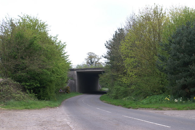
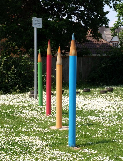
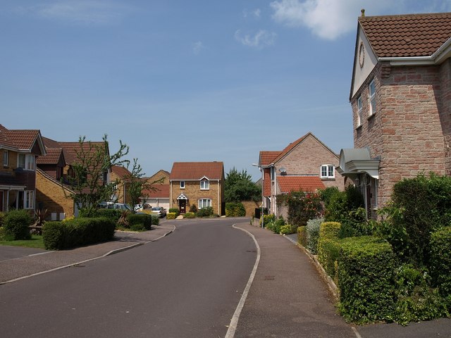
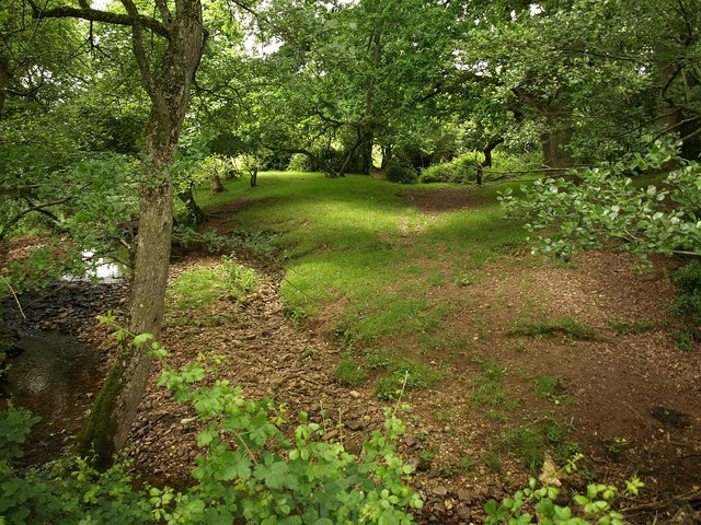
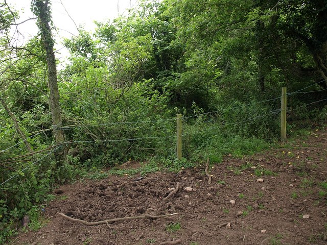
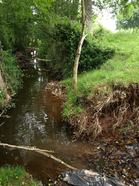
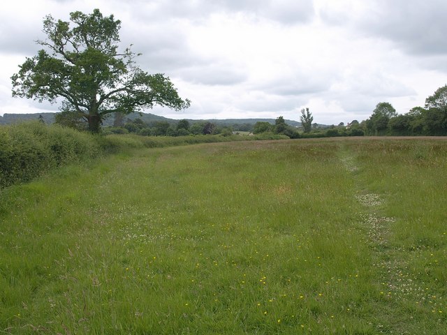
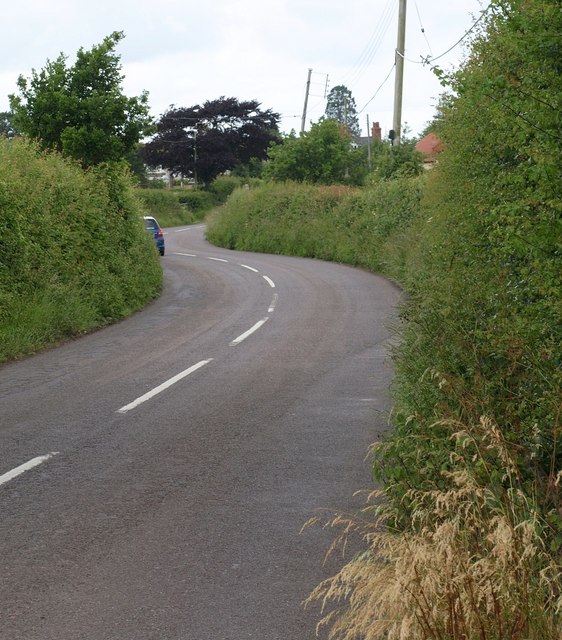
Wellington Images

Images are sourced within 2km of 50.978568/-3.2274488 or Grid Reference ST1320. Thanks to Geograph Open Source API. All images are credited.

Dobrée Park, Rockwell Green
A troubled tower All Saints church is not that old but the wooden shingles on the spire have been causing concerns. The local community has been trying to raise £20,000 for repairs.
A troubled tower
All Saints church is not that old but the wooden shingles on the spire have been causing concerns. The local community has been trying to raise £20,000 for repairs.
West end of All Saints church, Rockwell Green The end wall and the shodows of the neighbours.
West end of All Saints church, Rockwell Green
The end wall and the shodows of the neighbours.
Barn Meads Road, looking west
Barn Meads Road, looking east
Church and Towers All Saints, Rockwell Green
Church and Towers
All Saints, Rockwell Green
Field of crops looking to A38
Motorway Underpass, M5
Large crayons at Rockwell Green Not sure what you do with these features at a playground on the Dobree Park estate, but you would want to avoid them if paragliding off the nearby <a href="https://www.geograph.org.uk/photo/1347247">ST1220 : Pair of water towers, Rockwell Green</a>.
Large crayons at Rockwell Green
Not sure what you do with these features at a playground on the Dobree Park estate, but you would want to avoid them if paragliding off the nearby ST1220 : Pair of water towers, Rockwell Green.
Dobree Park, Rockwell Green An estate road with a labyrinthine series of turns, doubtless to calm traffic.
Dobree Park, Rockwell Green
An estate road with a labyrinthine series of turns, doubtless to calm traffic.
Shady grove by Haywards Water This is on the line of restricted byway WG 17/24 (or WG14/35 on this side of the stream) but the byway is very difficult to follow. Haywards Water is a tributary of the River Tone.
Shady grove by Haywards Water
This is on the line of restricted byway WG 17/24 (or WG14/35 on this side of the stream) but the byway is very difficult to follow. Haywards Water is a tributary of the River Tone.
Very restricted byway Barbed wire blocks a restricted byway (WG14/35), thereby further restricting it.
Very restricted byway
Barbed wire blocks a restricted byway (WG14/35), thereby further restricting it.
Haywards Water Looking upstream as the watercourse makes its way through meadows.
Haywards Water
Looking upstream as the watercourse makes its way through meadows.
Field near Ford Farm Footpath WG13/18 crosses this field on its way to Ford Street.
Field near Ford Farm
Footpath WG13/18 crosses this field on its way to Ford Street.
Ford Street The road into Wellington from the hamlet of Ford Street is also called Ford Street. Here it negotiates a double bend before reaching the A38.
Ford Street
The road into Wellington from the hamlet of Ford Street is also called Ford Street. Here it negotiates a double bend before reaching the A38.
Minor road leaves Rockwell Green The Wellington Monument can be seen on the horizon.
Minor road leaves Rockwell Green
The Wellington Monument can be seen on the horizon.
M5 in the direction of Exeter
Show me another place!

Wellington is located at Grid Ref: ST1320 (Lat: 50.978568, Lng: -3.2274488)

Administrative County: Somerset

District: Somerset West and Taunton

Police Authority: Avon and Somerset

What 3 Words

///shorts.users.pounds. Near Milverton, Somerset

Nearby Locations

Wellington Wellington

Related Wikis

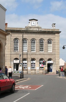
Wellington Town Hall, Somerset

Wellington Town Hall is a municipal building in Fore Street, Wellington, Somerset, England. The structure, which was previously used as a civic events...

Wellington A.F.C.

Wellington Association Football Club are a football club based in Wellington, Somerset, England. They are currently members of the Western League Premier...

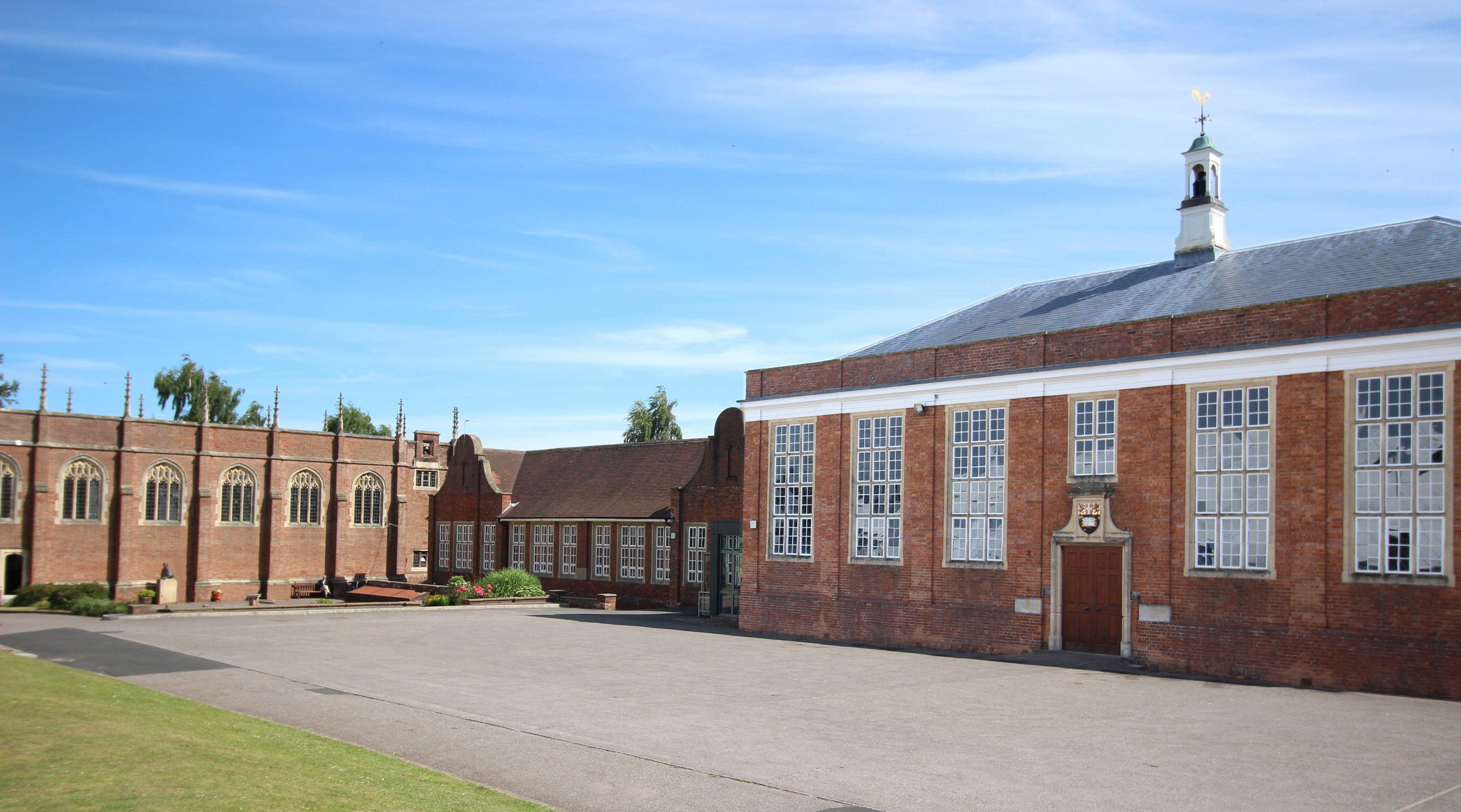
Wellington School, Somerset

Wellington School is a co-educational independent boarding and day school in the English public school tradition for pupils aged 3–18 located in Wellington...

Wellington, Somerset

Wellington is a market town in rural Somerset, a county in the west of England, situated 7 miles (11 km) south west of Taunton, near the border with Devon...

Nearby Amenities

Located within 500m of 50.978568,-3.2274488
Traffic Calming: island
Lat/Long: 50.9760117/-3.231739
Traffic Signals
Lat/Long: 50.9785606/-3.2274614
Traffic Signals
Lat/Long: 50.9797383/-3.225984
Mini Roundabout
Direction: clockwise
Lat/Long: 50.975375/-3.2245636
Mini Roundabout
Direction: clockwise
Lat/Long: 50.9768929/-3.2261065
Wellington
Place: town
Population: 13696
Twin Town: Lillebonne;Immenstadt;Torres Vedras
Wikidata: Q1026685
Wikipedia: en:Wellington, Somerset
Lat/Long: 50.978376/-3.2275504
Traffic Calming: bump
Lat/Long: 50.9791332/-3.2212009
Traffic Calming: bump
Lat/Long: 50.9787724/-3.2207708
Crossing
Crossing: marked
Lat/Long: 50.977747/-3.2285497
Post Box
Operator: Royal Mail
Operator Wikidata: Q638098
Post Box Type: wall
Lat/Long: 50.9789658/-3.2273145
Wellington Football Club
Created By: Potlatch 0.10f
Landuse: recreation_ground
Source: local_knowledge
Sport: soccer
Wikidata: Q7981323
Lat/Long: 50.9786249/-3.2308774
Operator: Oxfam
Shop: charity
Lat/Long: 50.9773495/-3.2262493
Toilets
North Street Car Park
Addr City: Wellington
Fee: no
Female: yes
Male: yes
Opening Hours: Mo-Su 07:00-19:00
Operator: Somerset Council
Operator Type: government
Operator Wikidata: Q6386270
Wheelchair: yes
Lat/Long: 50.9780709/-3.2302896
Noexit: yes
Lat/Long: 50.9787512/-3.2282615
Give Way
Lat/Long: 50.9788394/-3.2282411
Give Way
Direction: forward
Lat/Long: 50.9789086/-3.2304077
Crossing
Crossing: uncontrolled
Crossing Island: no
Crossing Ref: zebra
Kerb: lowered
Tactile Paving: yes
Lat/Long: 50.9797489/-3.2321892
Barrier: bollard
Designation: Retractable bollard controlling vehicular access
Source: local knowledge
Lat/Long: 50.9785672/-3.2340112
Give Way
Lat/Long: 50.9757681/-3.2328014
Give Way
Lat/Long: 50.9758361/-3.2287728
Give Way
Lat/Long: 50.9758627/-3.2322704
Give Way
Lat/Long: 50.9762862/-3.2312298
Post Box
Drive Through: no
Operator: Royal Mail
Operator Wikidata: Q638098
Post Box Type: pillar
Ref: TA21 447
Lat/Long: 50.9824946/-3.2307355
Give Way
Direction: forward
Lat/Long: 50.9827104/-3.2298812
Telephone
Booth: KX100
Covered: booth
Mapillary: 537162477689186
Survey Date: 2020-03-26
Lat/Long: 50.9763654/-3.2311601
Post Box
Mapillary: 184175040281769
Operator: Royal Mail
Operator Wikidata: Q638098
Post Box Type: pillar
Survey Date: 2020-03-26
Lat/Long: 50.9764066/-3.2310895
Crossing
Button Operated: yes
Crossing Island: yes
Crossing Signals: yes
Crossing Ref: pelican
Kerb: flush
Tactile Paving: yes
Traffic Signals Sound: yes
Traffic Signals Vibration: yes
Lat/Long: 50.9796284/-3.2259039
Give Way
Lat/Long: 50.9764046/-3.2214984
Give Way
Lat/Long: 50.9766149/-3.2218733
Give Way
Lat/Long: 50.9777278/-3.2219665
Give Way
Lat/Long: 50.977732/-3.2220898
Give Way
Lat/Long: 50.9785247/-3.22425
Give Way
Lat/Long: 50.9794375/-3.2237152
Give Way
Lat/Long: 50.9797083/-3.2228091
Give Way
Lat/Long: 50.9800302/-3.2226684
Give Way
Lat/Long: 50.9807689/-3.2222062
Give Way
Lat/Long: 50.981232/-3.2239866
Post Box
Operator: Royal Mail
Operator Wikidata: Q638098
Post Box Type: pillar
Ref: TA21 364
Royal Cypher: EIIR
Royal Cypher Wikidata: Q33102113
Lat/Long: 50.9767636/-3.226648
Noexit: yes
Lat/Long: 50.9763847/-3.228897
Give Way
Lat/Long: 50.9746537/-3.2302386
Noexit: yes
Lat/Long: 50.9754544/-3.2288901
Give Way
Lat/Long: 50.9761128/-3.2293602
Barrier: cycle_barrier
Bicycle: yes
Cycle Barrier: double
Cycle Barrier Installation: fixed
Foot: yes
Lat/Long: 50.9789857/-3.2303821
Give Way
Lat/Long: 50.9803451/-3.2267575
Give Way
Lat/Long: 50.981365/-3.2282478
Give Way
Direction: forward
Lat/Long: 50.9818303/-3.2276443
Give Way
Lat/Long: 50.9818556/-3.2274833
Give Way
Direction: forward
Lat/Long: 50.9819502/-3.2274445
Give Way
Lat/Long: 50.9808602/-3.2299174
Give Way
Direction: backward
Lat/Long: 50.9809154/-3.2306902
Give Way
Direction: forward
Lat/Long: 50.9810847/-3.2304455
Give Way
Lat/Long: 50.9811556/-3.2288677
Give Way
Direction: backward
Lat/Long: 50.9811611/-3.2305031
Give Way
Direction: backward
Lat/Long: 50.9798552/-3.232316
Give Way
Direction: backward
Lat/Long: 50.9802835/-3.2332682
Give Way
Lat/Long: 50.9821499/-3.230409
Give Way
Lat/Long: 50.9816567/-3.2297193
Give Way
Direction: backward
Lat/Long: 50.9823551/-3.2290799
Give Way
Direction: backward
Lat/Long: 50.9828904/-3.2282384
Give Way
Lat/Long: 50.9754152/-3.2247201
Traffic Calming: bump
Lat/Long: 50.9758074/-3.2251113
Traffic Calming: bump
Lat/Long: 50.9764554/-3.2257023
Parking
Lat/Long: 50.9765808/-3.22445
Traffic Calming: bump
Lat/Long: 50.9767679/-3.2259883
Traffic Calming: bump
Lat/Long: 50.9778226/-3.2218914
Traffic Calming: bump
Lat/Long: 50.9781485/-3.2214301
Give Way
Lat/Long: 50.9782313/-3.2212175
Give Way
Lat/Long: 50.9784035/-3.2205322
Give Way
Lat/Long: 50.978455/-3.2208098
Telephone
Atm: yes
Note: combined ATM and telephone
Lat/Long: 50.9789218/-3.2273144
Bus Stop
Post Office (NE-bound)
Bench: yes
Bin: yes
Bus: yes
Lit: no
Naptan AtcoCode: 3600SOB20172
Naptan Bearing: NE
Naptan CommonName: Post Office
Naptan Indicator: NE-bound
Naptan NaptanCode: sotagdgt
Naptan Verified: no
Network: The Buses of Somerset
Network Wikidata: Q17018973
Operator: First South West
Operator Wikidata: Q5454172
Public Transport: platform
Ref: 22B
Shelter: yes
Tactile Paving: no
Lat/Long: 50.9791219/-3.2269403
Bus Stop
Post Office (SW-bound)
Bench: yes
Bin: yes
Bus: yes
Naptan AtcoCode: 3600SOB20171
Naptan Bearing: SW
Naptan CommonName: Post Office
Naptan Indicator: SW-bound
Naptan NaptanCode: sotagdja
Naptan Street: High Street
Naptan Verified: no
Network: The Buses of Somerset
Network Wikidata: Q17018973
Operator: First South West
Operator Wikidata: Q5454172
Public Transport: platform
Ref: 22B
Shelter: yes
Lat/Long: 50.9791829/-3.2266729
Bus Station
Longforth Road Car Park (NE-bound)
Lat/Long: 50.9803232/-3.2270185
Bus Stop
The Three Cups (NE-bound)
Bus: yes
Naptan AtcoCode: 3600SOA56607
Naptan Bearing: NE
Naptan CommonName: Luson Surgery
Naptan Indicator: NE-bound
Naptan NaptanCode: sotdmwjt
Naptan Street: Fore Street
Naptan Verified: no
Network: The Buses of Somerset
Network Wikidata: Q17018973
Operator: First South West
Operator Wikidata: Q5454172
Public Transport: platform
Ref: 22B
Lat/Long: 50.9772965/-3.229514
Give Way
Direction: backward
Lat/Long: 50.978588/-3.2337745
Traffic Calming: bump
Lat/Long: 50.9782638/-3.2341312
Traffic Calming: bump
Lat/Long: 50.9790347/-3.2331763
Give Way
Direction: forward
Lat/Long: 50.9797693/-3.2323301
Bench
Lat/Long: 50.9755453/-3.2272399
Bench
Lat/Long: 50.9756182/-3.2270773
Crossing
Crossing Island: no
Crossing Markings: no
Crossing Signals: no
Tactile Paving: yes
Lat/Long: 50.9764782/-3.2213837
Bench
Lat/Long: 50.976145/-3.229117
Playground: structure
Lat/Long: 50.9770515/-3.223124
Playground: structure
Lat/Long: 50.9768826/-3.2229106
Traffic Signals
Lat/Long: 50.9784311/-3.2275646
Addr City: Wellington
Addr Country: GB
Addr County: Somerset
Addr Housenumber: 5A
Addr Postcode: TA21 8LR
Addr Street: High Street
Lat/Long: 50.978773/-3.2276065
Revolution Laundry
Addr City: Wellington
Addr Postcode: TA21 8RQ
Addr Street: Longforth Road
Brand: Revolution Laundry
Brand Wikidata: Q113516904
Opening Hours: 24/7
Payment Cash: yes
Payment Contactless: yes
Payment Mastercard: yes
Payment Visa: yes
Self Service: yes
Shop: laundry
Lat/Long: 50.980398/-3.2265286
Drinking Water
Access: yes
Bottle: yes
Fee: no
Operator: Wessex Water
Operator Wikidata: Q7984154
Lat/Long: 50.9789559/-3.227304
Social Facility
Wellington (Taunton) Food Bank
Addr City: Wellington
Addr Country: GB
Addr County: Somerset
Addr Postcode: TA21 8AQ
Addr Street: Fore Street
Addr Unit: 4
Email: info@taunton.foodbank.org.uk
Opening Hours: Mo,Th 13:30-14:30
Operator: The Trussell Trust
Operator Type: ngo
Operator Wikidata: Q15621299
Phone: +44 1823 270316
Social Facility: food_bank
Website: https://taunton.foodbank.org.uk
Lat/Long: 50.9771165/-3.2292501
Bicycle Parking
Bicycle Parking: stands
Capacity: 4
Covered: no
Lat/Long: 50.978905/-3.227352
Bench
Backrest: yes
Lat/Long: 50.9789438/-3.2273158
Parcel Locker
Brand: InPost
Brand Wikidata: Q3182097
Opening Hours: 24/7
Operator: InPost
Parcel Mail In: yes
Parcel Pickup: yes
Lat/Long: 50.9782011/-3.2279875
Entrance: main
Lat/Long: 50.979902/-3.2276096
Bank
Wellington Banking Hub
Addr City: Wellington
Addr Country: GB
Addr County: Somerset
Addr Housenumber: 30
Addr Postcode: TA21 8AQ
Addr Street: Fore Street
Atm: yes
Branch: Wellington
Brand: Banking Hub
Drive Through: no
Fixme: May move to 26A Fore Street at some point.
Opening Hours: Mo-Fr 09:00-17:00
Operator: Post Office
Operator Wikidata: Q1783168
Website: https://www.cashaccess.co.uk/hubs/wellington-somerset/
Lat/Long: 50.9775039/-3.2287683
Defibrillator
Access: yes
Defibrillator Location: AED Located on the outdoor wall on the right of the Waitrose entrance.
Emergency: defibrillator
Indoor: no
Lat/Long: 50.9789319/-3.2252346
Defibrillator
Access: yes
Defibrillator Location: On the outside wall accessible from the car park corner
Emergency: defibrillator
Indoor: no
Lat/Long: 50.9783048/-3.2304413
The data included in this document is from www.openstreetmap.org. The data is made available under ODbL.

Have you been to Wellington?

Leave your review of Wellington below (or comments, questions and feedback).