Wellington

Settlement in Herefordshire

England

Wellington

A49 near Moreton-on-Lugg, looking north
A49 near Moreton-on-Lugg, looking north Credit: Rob Purvis

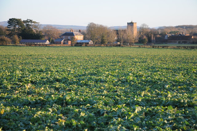
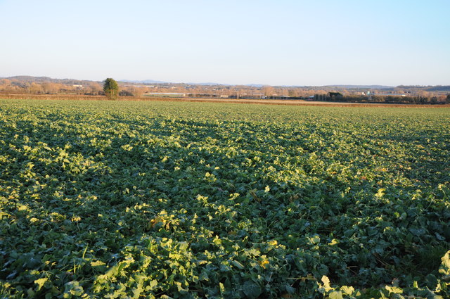
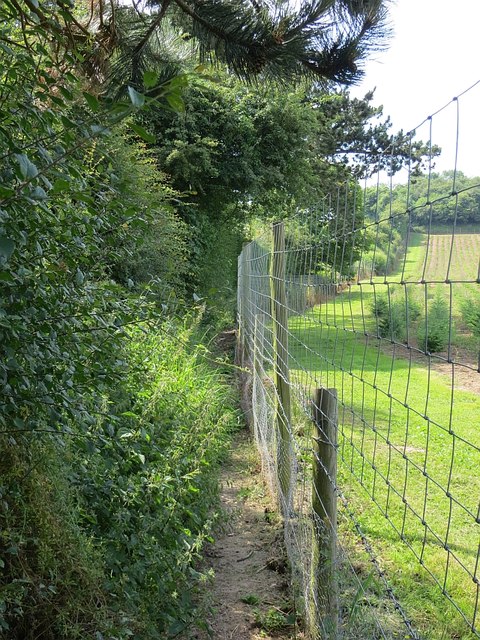
Wellington is a small village located in the county of Herefordshire, England. Situated in the Welsh Marches, Wellington is surrounded by picturesque countryside and rolling hills, making it an ideal destination for nature lovers and outdoor enthusiasts.

The village itself is characterized by its quaint cottages and historic buildings, giving visitors a glimpse into its rich past. Wellington is home to a charming parish church, a local pub, and a handful of small shops and businesses.

The community of Wellington is close-knit and friendly, with residents taking pride in their village and working together to maintain its beauty and character. The village hosts various events throughout the year, including a summer fete and Christmas market, which bring the community together and attract visitors from near and far.

Wellington is also conveniently located near the larger town of Hereford, which offers a wider range of amenities and attractions, including shops, restaurants, and cultural activities. Overall, Wellington is a peaceful and charming village that offers a tranquil retreat for those looking to escape the hustle and bustle of city life.

If you have any feedback on the listing, please let us know in the comments section below.
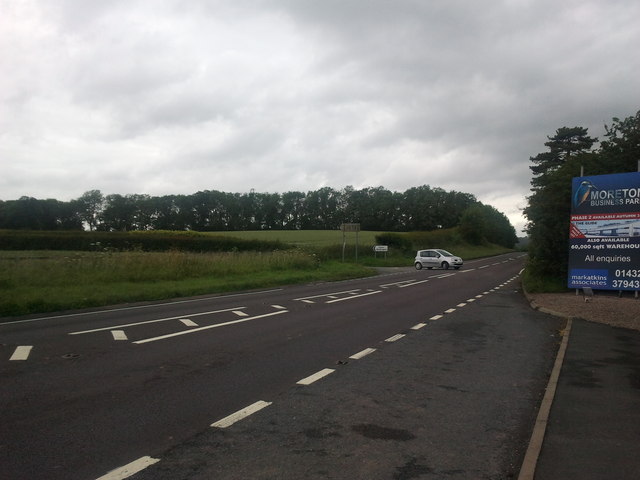
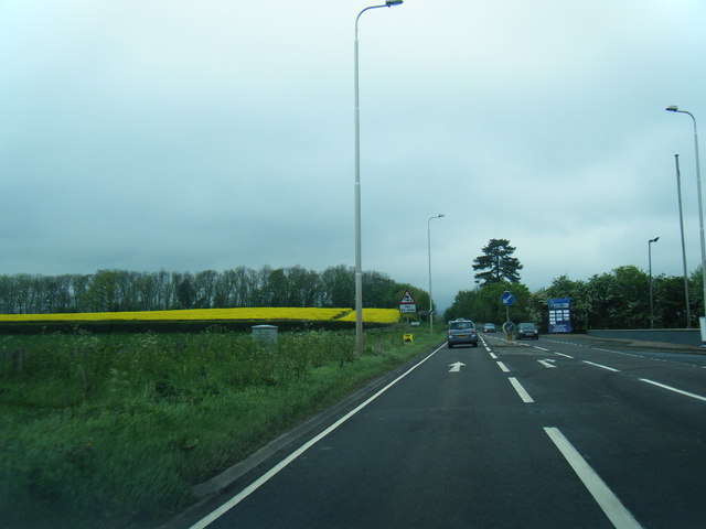
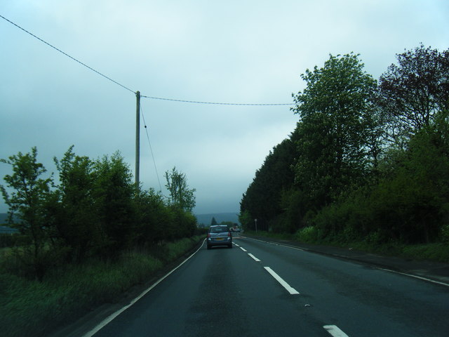
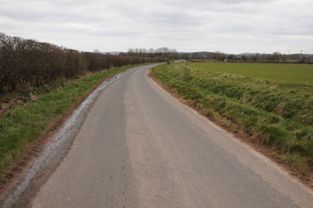
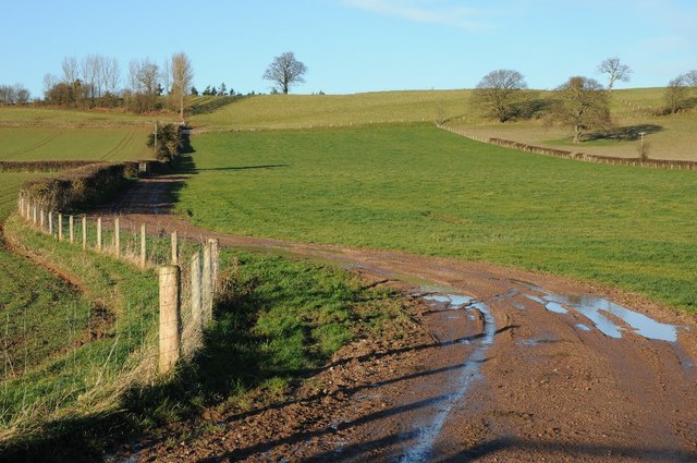
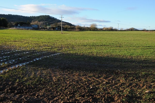
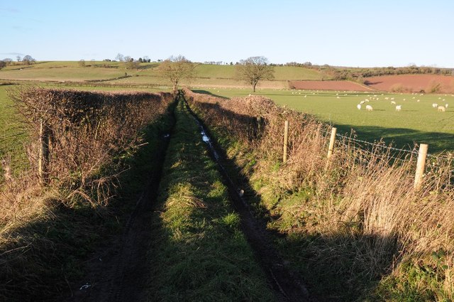
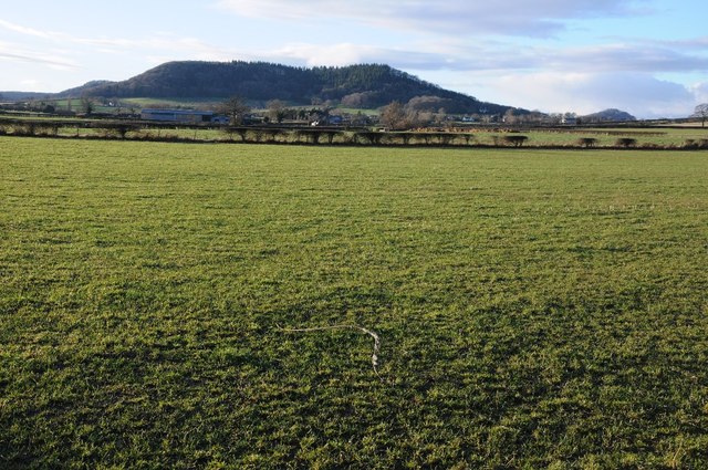
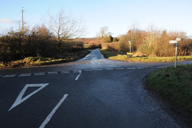
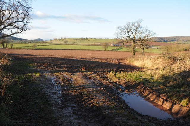
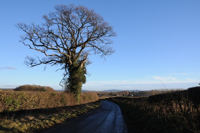
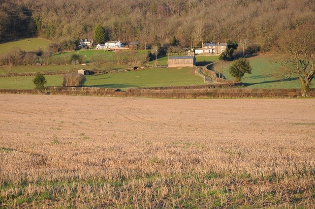
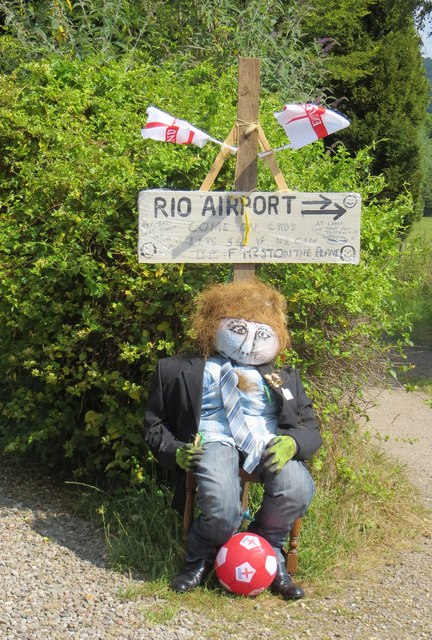
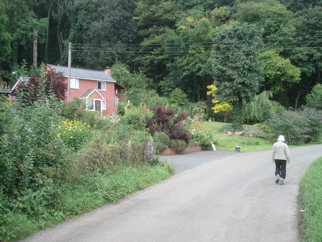
Wellington Images

Images are sourced within 2km of 52.129551/-2.7420615 or Grid Reference SO4948. Thanks to Geograph Open Source API. All images are credited.

A49 near Moreton-on-Lugg, looking north
A49 at Moreton Business Park
A49 at Wellington Marsh
Country road near Wellington Country road near Wellington to the west of the A49.
Country road near Wellington
Country road near Wellington to the west of the A49.
Adzor Bank Adzor Bank viewed from the south; a trig point can be seen on the skyline.
Adzor Bank
Adzor Bank viewed from the south; a trig point can be seen on the skyline.
Arable land beside The Parks Arable land beside The Parks near Wellington.  Part of Nupton Hill can be seen in the background.
Arable land beside The Parks
Arable land beside The Parks near Wellington. Part of Nupton Hill can be seen in the background.
Farmland track Track giving access to farmland below Adzor Bank near Wellington.
Farmland track
Track giving access to farmland below Adzor Bank near Wellington.
Nupton Hill viewed from the east View across farmland to Nupton Hill from the east.
Nupton Hill viewed from the east
View across farmland to Nupton Hill from the east.
Crossroads at Auberrow Crossroads at Auberrow to the south of Wellington.
Crossroads at Auberrow
Crossroads at Auberrow to the south of Wellington.
Arable field above Wellington Marsh View across an arable field and farm land beyond to the west of the Wellington.
Arable field above Wellington Marsh
View across an arable field and farm land beyond to the west of the Wellington.
Road to the south of Auberrow Oak tree beside a country road to the south of Auberrow and the village of Wellington.
Road to the south of Auberrow
Oak tree beside a country road to the south of Auberrow and the village of Wellington.
Houses below Wellington Wood
View to Wellington View to the village of Wellington from the north.
View to Wellington
View to the village of Wellington from the north.
Arable land at Wellington
Ford, Wellington Near the church.
Ford, Wellington
Near the church.
Wellington's World Cup Scarecrows These seem to be passing fair comment on the national team's performance in 2014. NB. At least England got there!
To be fair I think minds may have been on the destruction of the local professional side which was taking place at the time.  This display is all too appropriate.
Wellington's World Cup Scarecrows
These seem to be passing fair comment on the national team's performance in 2014. NB. At least England got there! To be fair I think minds may have been on the destruction of the local professional side which was taking place at the time. This display is all too appropriate.
Seriously constrained footpath Narrow enough to constitute obstruction. Here the fence is anti deer not walker, it protects a crop of Christmas trees.
Seriously constrained footpath
Narrow enough to constitute obstruction. Here the fence is anti deer not walker, it protects a crop of Christmas trees.
Wellington's World Cup Scarecrows "Come on lads, see if we can be first on the plane"
"At least we wern't bitten" 

One of several exhibits making the best out of an early exit by the England team.
Wellington's World Cup Scarecrows
"Come on lads, see if we can be first on the plane" "At least we wern't bitten" One of several exhibits making the best out of an early exit by the England team.
Show me another place!

Wellington is located at Grid Ref: SO4948 (Lat: 52.129551, Lng: -2.7420615)

Unitary Authority: County of Herefordshire

Police Authority: West Mercia

What 3 Words

///louder.motels.transmits. Near Wellington, Herefordshire

Nearby Locations

Wellington Wellington

Related Wikis

Wellington, Herefordshire

Wellington, a village in Herefordshire, England at grid reference SO494481 had a population of 1005 in the 2011 census .The village is sheltered by the...

Wellington F.C. (Herefords)

Wellington Football Club are a football club based in the village of Wellington, Herefordshire, England. The club is affiliated to the Herefordshire County...

Dinmore Manor

Dinmore Manor House is a large rural house in a well-wooded, hilly part of Herefordshire in the least populous parish of the county, Dinmore. It was substantially...

Dinmore, Herefordshire

Dinmore is a geographically small civil parish in Herefordshire, England. The parish had an estimated population in mid-2010 of 7, the smallest in the...

Nearby Amenities

Located within 500m of 52.129551,-2.7420615
Bus Stop
Wellington Village
Naptan AtcoCode: 2090A18361
Naptan Bearing: W
Naptan BusStopType: CUS
Naptan CommonName: Wellington Village
Naptan Indicator: adj The Wellington Inn
Naptan Landmark: The Wellington Inn
Naptan NaptanCode: heragpgd
Naptan Street: Wellington village road
Naptan Verified: no
Source: naptan_import
Lat/Long: 52.1295593/-2.7412077
Bus Stop
Wellington Village
Naptan AtcoCode: 2090A18363
Naptan Bearing: E
Naptan BusStopType: CUS
Naptan CommonName: Wellington Village
Naptan Indicator: opp The Wellington Inn
Naptan Landmark: The Wellington Inn
Naptan NaptanCode: heragpgj
Naptan Street: Wellington village road
Naptan Verified: no
Source: naptan_import
Lat/Long: 52.1296571/-2.7413846
Wellington
Place: village
Source: OS_OpenData_Streetview
Wikidata: Q3784029
Lat/Long: 52.1300067/-2.7408245
Turning Circle
Lat/Long: 52.1286279/-2.740849
Turning Circle
Lat/Long: 52.1286613/-2.7425083
Generator Method: photovoltaic
Generator Output Electricity: yes
Generator Source: solar
Generator Type: solar_photovoltaic_panel
Location: roof
Power: generator
Lat/Long: 52.1286803/-2.7434546
Generator Method: photovoltaic
Generator Output Electricity: yes
Generator Source: solar
Generator Type: solar_photovoltaic_panel
Location: roof
Power: generator
Lat/Long: 52.1285486/-2.7422047
Generator Method: photovoltaic
Generator Output Electricity: yes
Generator Source: solar
Generator Type: solar_photovoltaic_panel
Location: roof
Power: generator
Lat/Long: 52.1268591/-2.7459893
Generator Method: photovoltaic
Generator Output Electricity: yes
Generator Source: solar
Generator Type: solar_photovoltaic_panel
Location: roof
Power: generator
Lat/Long: 52.1267719/-2.7466115
Generator Method: photovoltaic
Generator Output Electricity: yes
Generator Source: solar
Generator Type: solar_photovoltaic_panel
Location: roof
Power: generator
Lat/Long: 52.1269942/-2.7470514
Generator Method: photovoltaic
Generator Output Electricity: yes
Generator Source: solar
Generator Type: solar_photovoltaic_panel
Location: roof
Power: generator
Lat/Long: 52.1297308/-2.7467483
Generator Method: photovoltaic
Generator Output Electricity: yes
Generator Source: solar
Generator Type: solar_photovoltaic_panel
Location: roof
Power: generator
Lat/Long: 52.1317313/-2.743527
Generator Method: photovoltaic
Generator Output Electricity: yes
Generator Source: solar
Generator Type: solar_photovoltaic_panel
Location: roof
Power: generator
Lat/Long: 52.1295118/-2.7410781
Ford: yes
Lat/Long: 52.1304997/-2.7352095
Generator Method: photovoltaic
Generator Output Electricity: yes
Generator Source: solar
Generator Type: solar_photovoltaic_panel
Location: roof
Power: generator
Lat/Long: 52.1272181/-2.747604
Barrier: stile
Source: Bing
Lat/Long: 52.1254148/-2.7403676
Barrier: stile
Lat/Long: 52.1281452/-2.7488701
Post Box
Post Box Type: pillar
Lat/Long: 52.1294444/-2.7426745
Defibrillator
Access: permissive
Defibrillator Location: Inside Shop.
Emergency: defibrillator
Indoor: yes
Ref GB The Circuit: 1EE08E18-357E-47C6-9B7F-AA8C00D54FC1
Lat/Long: 52.129452/-2.7440123
The data included in this document is from www.openstreetmap.org. The data is made available under ODbL.

Have you been to Wellington?

Leave your review of Wellington below (or comments, questions and feedback).