Wellington
Civil Parish in Somerset Somerset West and Taunton
England
Wellington
Wellington is a civil parish located in the county of Somerset, England. Situated in the South West of the country, it lies approximately 7 miles west of Taunton, the county town. The civil parish includes the town of Wellington, along with several surrounding villages and hamlets.
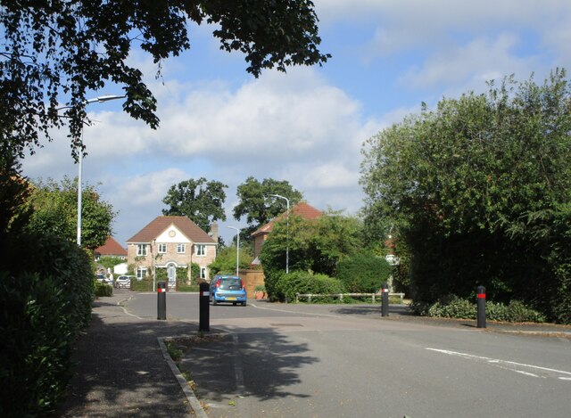
Wellington is a historic market town with a rich history dating back to the 12th century. It was an important center for trade and commerce during the medieval period and served as a hub for the cloth and wool industry. Today, the town retains much of its traditional charm, with many well-preserved buildings from various architectural periods.
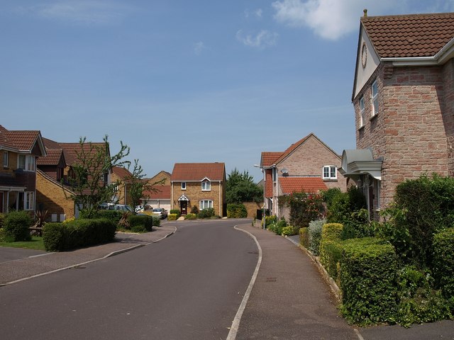
The town offers a range of amenities and services to its residents and visitors. There are several shops, restaurants, and pubs, as well as a weekly market that dates back to the 13th century. Wellington also has a number of schools and recreational facilities, including a leisure center and a sports club.
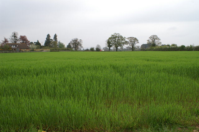
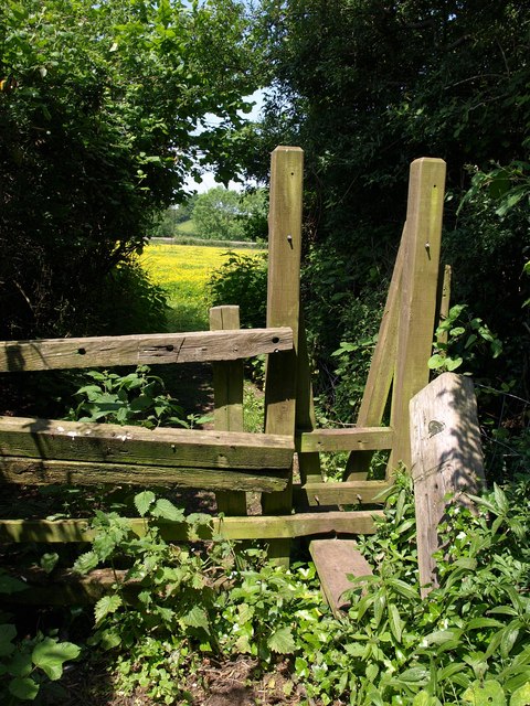
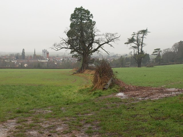
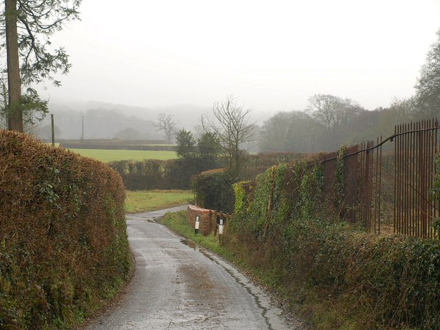
Surrounded by picturesque countryside, Wellington provides ample opportunities for outdoor activities. The Blackdown Hills, an Area of Outstanding Natural Beauty, is nearby, offering stunning views, walking trails, and wildlife.
The town is well-connected to the rest of the county and beyond. It has good transport links, including a railway station on the Bristol to Exeter line. The M5 motorway is easily accessible, providing convenient access to other parts of the country.
Overall, Wellington, Somerset, is a vibrant and historically significant civil parish that offers a mix of heritage, amenities, and natural beauty.
If you have any feedback on the listing, please let us know in the comments section below.
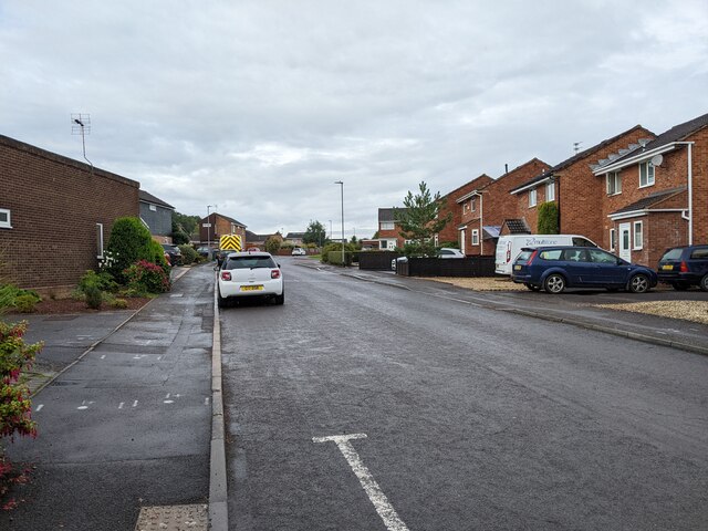
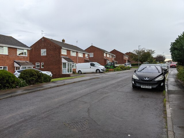
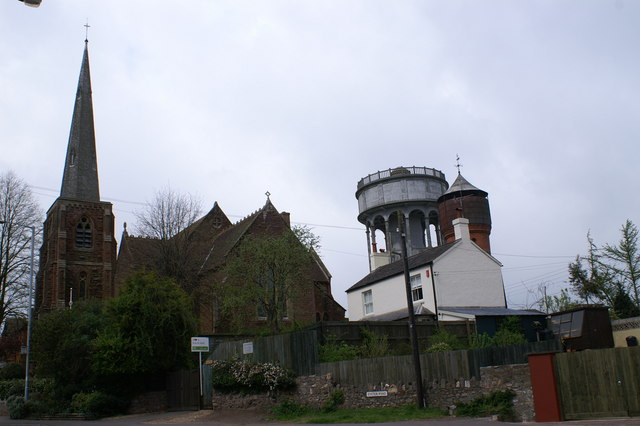
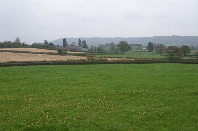
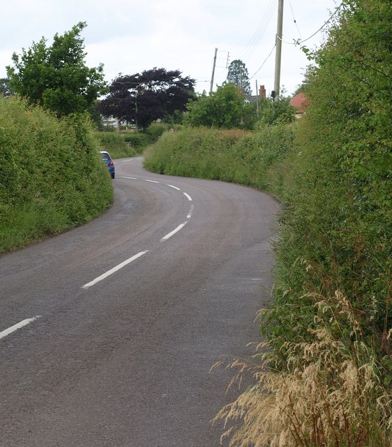
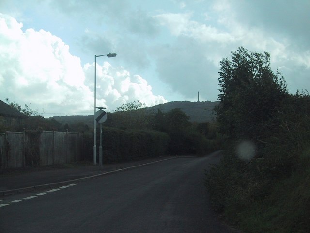
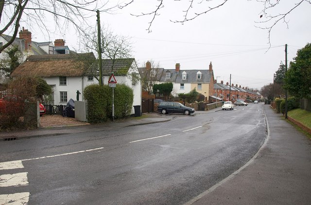
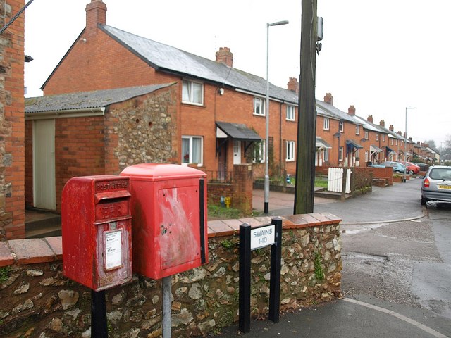
Wellington Images
Images are sourced within 2km of 50.978537/-3.236881 or Grid Reference ST1320. Thanks to Geograph Open Source API. All images are credited.
Wellington is located at Grid Ref: ST1320 (Lat: 50.978537, Lng: -3.236881)
Administrative County: Somerset
District: Somerset West and Taunton
Police Authority: Avon and Somerset
What 3 Words
///weeknight.toffee.such. Near Milverton, Somerset
Nearby Locations
Related Wikis
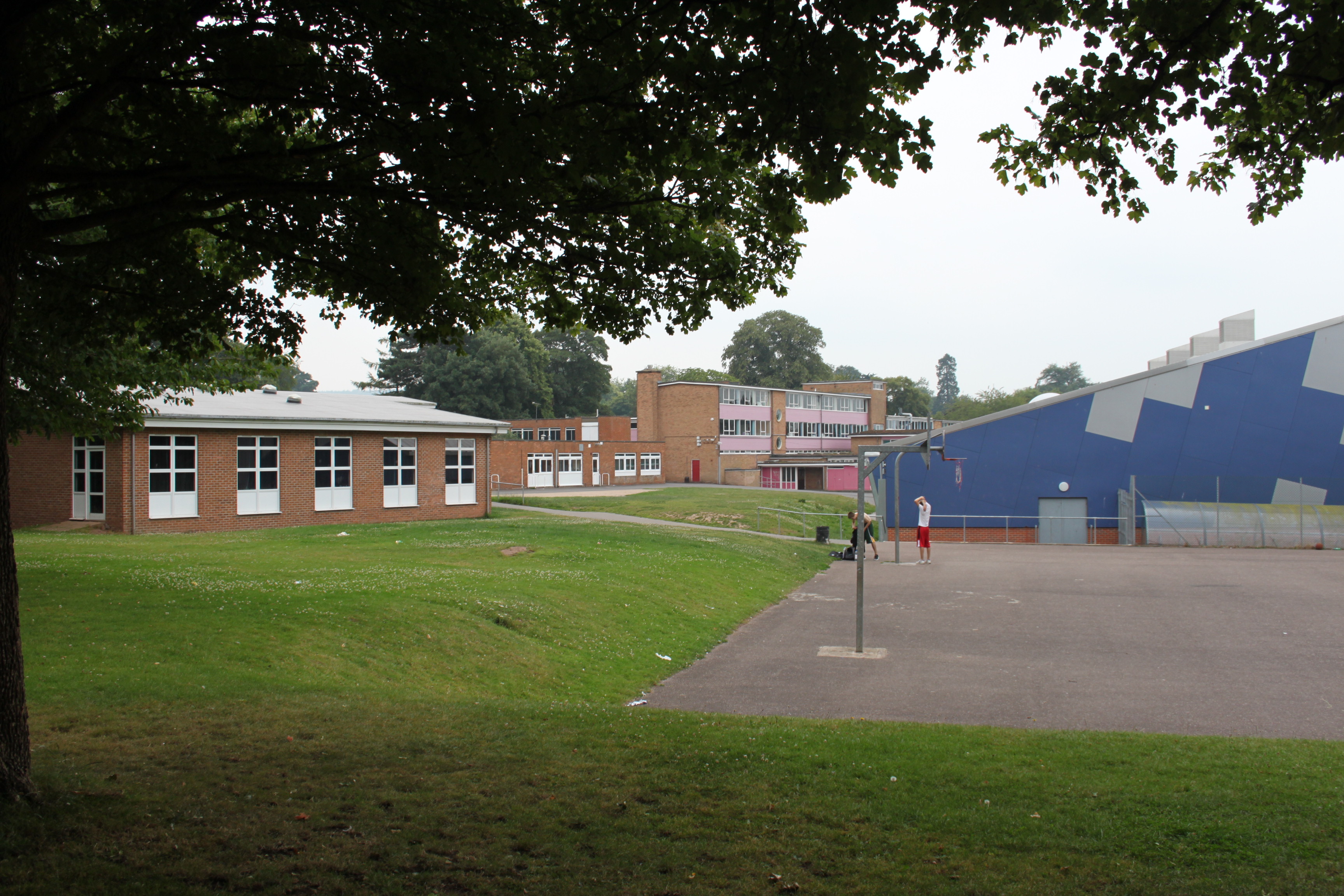
Court Fields School
Court Fields School is located in Wellington, Somerset, England. Court Fields is home to the “Theatre Of Leaves”, which is known to be one of the most...

Wellington A.F.C.
Wellington Association Football Club are a football club based in Wellington, Somerset, England. They are currently members of the Western League Premier...
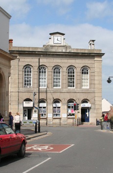
Wellington Town Hall, Somerset
Wellington Town Hall is a municipal building in Fore Street, Wellington, Somerset, England. The structure, which was previously used as a civic events...
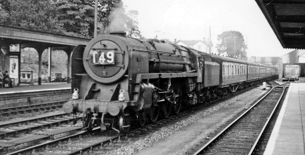
Wellington railway station (Somerset)
Wellington railway station was a former railway station located in Wellington in Somerset on the Bristol–Exeter line. It served the town between 1843...
Nearby Amenities
Located within 500m of 50.978537,-3.236881Have you been to Wellington?
Leave your review of Wellington below (or comments, questions and feedback).