Wellington Hill

Settlement in Yorkshire

England

Wellington Hill

A58 near Eltofts Farm
A58 near Eltofts Farm Credit: Colin Pyle

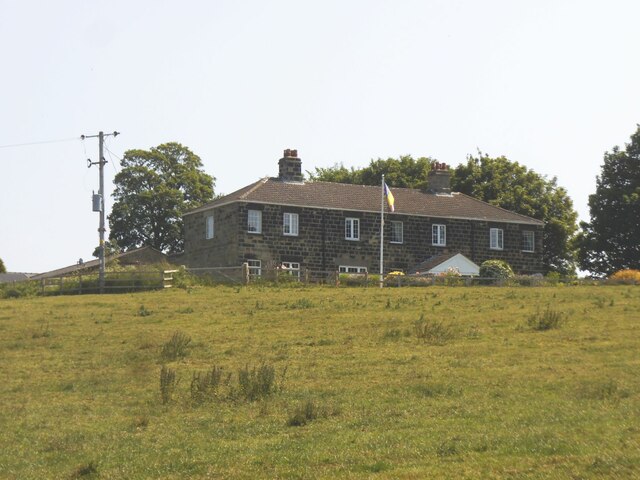
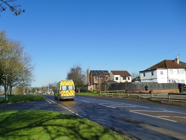
Wellington Hill is a picturesque village located in the heart of the Yorkshire Dales, known for its stunning views of the surrounding countryside. The village is home to a small population of around 500 residents, who enjoy a peaceful and idyllic way of life in this rural setting.

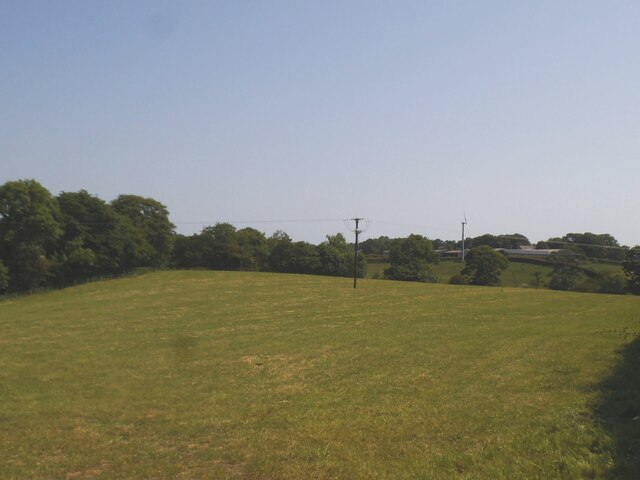
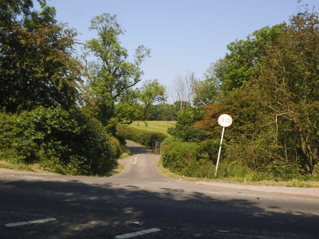
Wellington Hill is surrounded by rolling hills and lush green fields, making it an ideal location for outdoor enthusiasts and nature lovers. The village is a popular destination for hikers and cyclists, with many scenic trails and paths to explore in the nearby countryside.

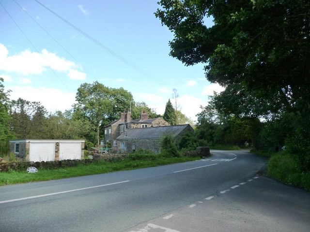
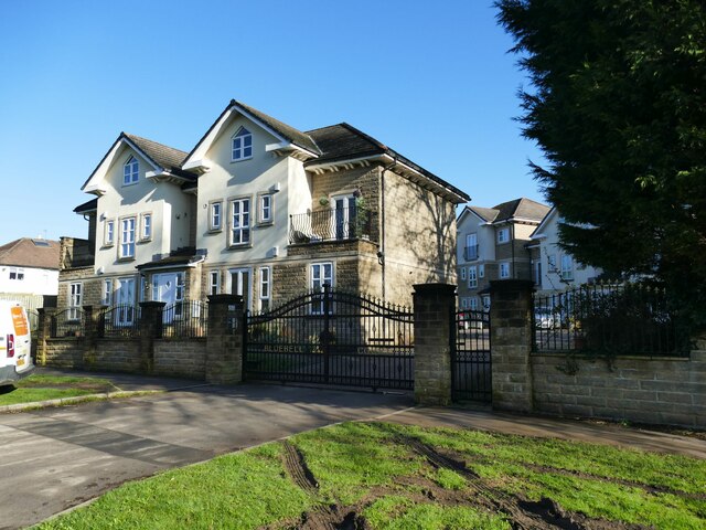
In terms of amenities, Wellington Hill has a small but charming village center, complete with a pub, a few shops, and a primary school. The local community is close-knit and welcoming, with many residents actively involved in village events and activities.

Overall, Wellington Hill offers a tranquil and serene lifestyle for those seeking a quiet retreat in the beautiful Yorkshire countryside. With its stunning scenery and friendly atmosphere, it is no wonder that Wellington Hill is a sought-after destination for those looking to escape the hustle and bustle of city life.

If you have any feedback on the listing, please let us know in the comments section below.

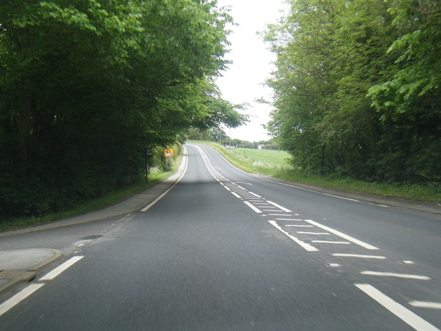
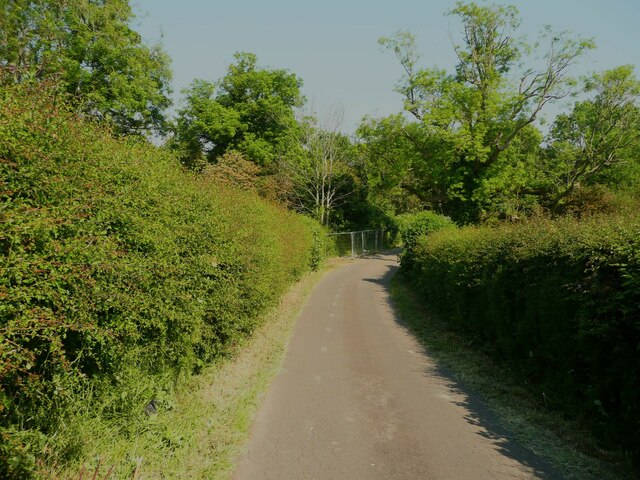
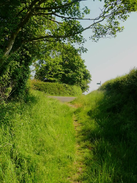
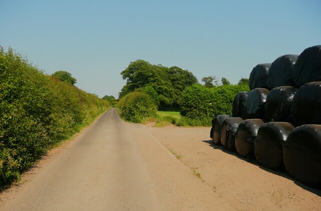
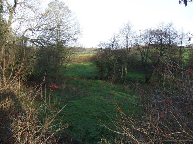
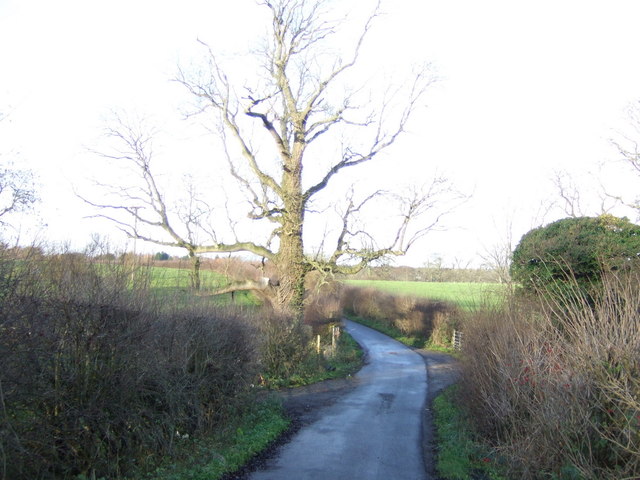
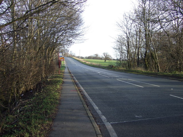
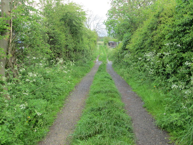
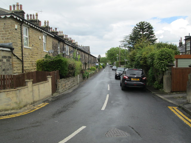
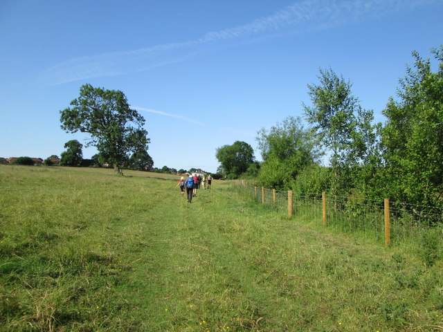
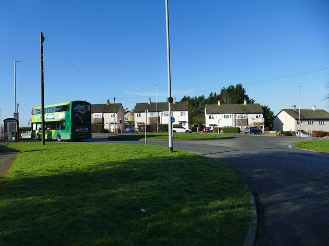
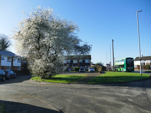
Wellington Hill Images

Images are sourced within 2km of 53.840586/-1.4676037 or Grid Reference SE3538. Thanks to Geograph Open Source API. All images are credited.

A58 near Eltofts Farm
Stoney Lane, Shadwell This is a short lane linking the A58 with Bay Horse Lane.
Stoney Lane, Shadwell
This is a short lane linking the A58 with Bay Horse Lane.
Bridleway 3, Thorner This is a short, grassy, track linking the Bridleway 4, which is a surfaced lane from Carr Lane to Eltofts, with the A58.
Bridleway 3, Thorner
This is a short, grassy, track linking the Bridleway 4, which is a surfaced lane from Carr Lane to Eltofts, with the A58.
Bridleway 4 at Eltofts Farm, Thorner Presumably the hay harvest is in the black bags.
Bridleway 4 at Eltofts Farm, Thorner
Presumably the hay harvest is in the black bags.
Field off Bay Horse Lane The row of trees marks the course of an unnamed beck that forms the parish boundary between Shadwell and Scarcroft.
Field off Bay Horse Lane
The row of trees marks the course of an unnamed beck that forms the parish boundary between Shadwell and Scarcroft.
East end of Stoney Lane Junction with the A58.
East end of Stoney Lane
Junction with the A58.
Eltofts Farm Viewed from a nearby bridleway.
Eltofts Farm
Viewed from a nearby bridleway.
Bay Horse Farm Inside a bend on Bay Horse Lane.
Bay Horse Farm
Inside a bend on Bay Horse Lane.
Grazing off the A58
Grazing off the A58
Stoney Lane heading west Off the A58.
Stoney Lane heading west
Off the A58.
A58 towards Wetherby
Track - end of Old Brandon Lane
Holywell Lane - Main Street
Field  edge  footpath Shortly turning right to Brandon
Field edge footpath
Shortly turning right to Brandon
Monkswood Gate roundabout The terminus of bus service 49 from Pudsey, via Bramley and Leeds city centre, a journey of 25km taking about an hour and a half.
Monkswood Gate roundabout
The terminus of bus service 49 from Pudsey, via Bramley and Leeds city centre, a journey of 25km taking about an hour and a half.
Blackthorn blossom at Monkswood Gate This has been a particularly good year for this early-blossoming tree.
Blackthorn blossom at Monkswood Gate
This has been a particularly good year for this early-blossoming tree.
Old Ring Road, Seacroft Formerly the A6120, now the B6902. The ambulance was on an emergency call.
Old Ring Road, Seacroft
Formerly the A6120, now the B6902. The ambulance was on an emergency call.
Bluebell Court, Seacroft Private apartments situated on the Old Ring Road.
Bluebell Court, Seacroft
Private apartments situated on the Old Ring Road.
Show me another place!

Wellington Hill is located at Grid Ref: SE3538 (Lat: 53.840586, Lng: -1.4676037)

Division: West Riding

Unitary Authority: Leeds

Police Authority: West Yorkshire

What 3 Words

///teeth.club.rooms. Near Shadwell, West Yorkshire

Nearby Locations

Wellington Hill

Related Wikis

Leeds Rural District

Leeds was, from 1894 to 1912, a rural district in the administrative county of Yorkshire, West Riding, England. It comprised an area adjacent to, but not...

Unilever Leeds

Unilever Leeds, in the north-east of Leeds off the A6120 Leeds Outer Ring Road, is a large cosmetics factory and research site of the Anglo-Dutch company...

Chapel FM

Chapel FM (formerly East Leeds FM) is a community radio station based in Leeds, West Yorkshire, England. The station started in 2003 when Heads Together...
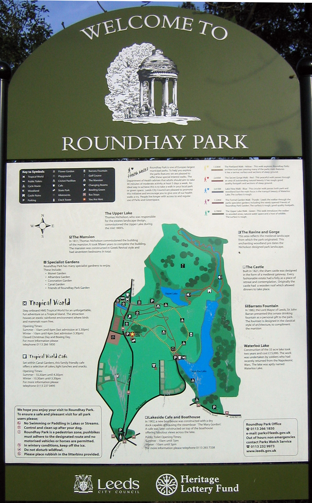
Roundhay Park

Roundhay Park in Leeds, West Yorkshire, England, is one of the biggest city parks in Europe. It covers more than 700 acres (2.8 km2) of parkland, lakes...

Nearby Amenities

Located within 500m of 53.840586,-1.4676037
Bus Stop
Wetherby Road Red Hall Lane
Bus: yes
Local Ref: 45010236
Naptan AtcoCode: 450010236
Naptan Bearing: SW
Naptan CommonName: Wetherby Road Red Hall Lane
Naptan Crossing: Red Hall Lane
Naptan Indicator: Stop 45010236
Naptan Landmark: Garage
Naptan PlusbusZoneRef: LEEDS
Naptan ShortCommonName: Red Hall Lane
Naptan Street: Wetherby Road
Naptan Verified: no
Public Transport: platform
Source: naptan_import
Lat/Long: 53.8402394/-1.469803
Bus Stop
Wetherby Road Kingsmead Drive
Bus: yes
Local Ref: 45010237
Naptan AtcoCode: 450010237
Naptan Bearing: SW
Naptan CommonName: Wetherby Road Kingsmead Drive
Naptan Crossing: Kingsmead Drive
Naptan Indicator: Stop 45010237
Naptan PlusbusZoneRef: LEEDS
Naptan ShortCommonName: Kingsmead Drive
Naptan Street: Wetherby Road
Naptan Verified: no
Public Transport: platform
Source: naptan_import
Lat/Long: 53.8381527/-1.471501
Bus Stop
Coal Road Naburn Approach
Bus: yes
Local Ref: 45010576
Naptan AtcoCode: 450010576
Naptan Bearing: N
Naptan CommonName: Coal Road Naburn Approach
Naptan Crossing: Naburn Appoach
Naptan Indicator: Stop 45010576
Naptan PlusbusZoneRef: LEEDS
Naptan ShortCommonName: Naburn Appoach
Naptan Street: Coal Road
Naptan Verified: no
Public Transport: platform
Ref: 45010576
Source: naptan_import
Lat/Long: 53.8384945/-1.4614514
Bus Stop
Red Hall Lane Whinmoor Gardens
Bus: yes
Local Ref: 45013701
Naptan AtcoCode: 450013701
Naptan Bearing: E
Naptan CommonName: Red Hall Lane Whinmoor Gardens
Naptan Crossing: Whinmoor Gardens
Naptan Indicator: Stop 45013701
Naptan PlusbusZoneRef: LEEDS
Naptan ShortCommonName: Whinmoor Gardens
Naptan Street: Red Hall Lane
Naptan Verified: no
Public Transport: platform
Source: naptan_import
Lat/Long: 53.8406655/-1.4685818
Bus Stop
Red Hall Lane Red Hall Way
Bus: yes
Local Ref: 45013702
Naptan AtcoCode: 450013702
Naptan Bearing: E
Naptan CommonName: Red Hall Lane Red Hall Way
Naptan Crossing: Red Hall Way
Naptan Indicator: Stop 45013702
Naptan PlusbusZoneRef: LEEDS
Naptan ShortCommonName: Red Hall Way
Naptan Street: Red Hall Lane
Naptan Verified: no
Public Transport: platform
Source: naptan_import
Lat/Long: 53.840593/-1.4664246
Bus Stop
Red Hall Lane Red Hall Approach
Bus: yes
Local Ref: 45013703
Naptan AtcoCode: 450013703
Naptan Bearing: E
Naptan CommonName: Red Hall Lane Red Hall Approach
Naptan Crossing: Red Hall Approach
Naptan Indicator: Stop 45013703
Naptan PlusbusZoneRef: LEEDS
Naptan ShortCommonName: Red Hall Approach
Naptan Street: Red Hall Lane
Naptan Verified: no
Public Transport: platform
Source: naptan_import
Lat/Long: 53.8404878/-1.4629912
Bus Stop
Red Hall Lane Red Hall Approach
Bus: yes
Local Ref: 45013704
Naptan AtcoCode: 450013704
Naptan Bearing: W
Naptan CommonName: Red Hall Lane Red Hall Approach
Naptan Crossing: Red Hall Approach
Naptan Indicator: Stop 45013704
Naptan PlusbusZoneRef: LEEDS
Naptan ShortCommonName: Red Hall Approach
Naptan Street: Red Hall Lane
Naptan Verified: no
Public Transport: platform
Source: naptan_import
Lat/Long: 53.8404063/-1.4628555
Bus Stop
Red Hall Lane Red Hall Way
Bus: yes
Local Ref: 45013705
Naptan AtcoCode: 450013705
Naptan Bearing: W
Naptan CommonName: Red Hall Lane Red Hall Way
Naptan Crossing: Red Hall Way
Naptan Indicator: Stop 45013705
Naptan PlusbusZoneRef: LEEDS
Naptan ShortCommonName: Red Hall Way
Naptan Street: Red Hall Lane
Naptan Verified: no
Public Transport: platform
Source: naptan_import
Lat/Long: 53.8405028/-1.466365
Bus Stop
Red Hall Lane Coal Road
Bus: yes
Local Ref: 45013723
Naptan AtcoCode: 450013723
Naptan Bearing: W
Naptan CommonName: Red Hall Lane Coal Road
Naptan Crossing: Coal Road
Naptan Indicator: Stop 45013723
Naptan PlusbusZoneRef: LEEDS
Naptan ShortCommonName: Coal Road
Naptan Street: Skeltons Lane
Naptan Verified: no
Public Transport: platform
Source: naptan_import
Lat/Long: 53.8402803/-1.4608206
Bus Stop
Wetherby Road
Bus: yes
Kerb: raised
Local Ref: 45013724
Naptan AtcoCode: 450013724
Naptan Bearing: SW
Naptan CommonName: Wetherby Road
Naptan Crossing: Whinmoor Lane
Naptan Indicator: Stop 45013724
Naptan Landmark: Wellington PH
Naptan PlusbusZoneRef: LEEDS
Naptan ShortCommonName: Whinmoor Lane
Naptan Street: Wetherby Road
Naptan Verified: no
Public Transport: platform
Ref: 450013724
Source: naptan_import
Lat/Long: 53.8433557/-1.4672513
Bus Stop
Wetherby Road Red Hall Gardens
Bus: yes
Local Ref: 45013729
Naptan AtcoCode: 450013729
Naptan Bearing: NE
Naptan CommonName: Wetherby Road Red Hall Gardens
Naptan Crossing: Red Hall Gardens
Naptan Indicator: Stop 45013729
Naptan PlusbusZoneRef: LEEDS
Naptan ShortCommonName: Red Hall Gardens
Naptan Street: Wetherby Road
Naptan Verified: no
Public Transport: platform
Source: naptan_import
Lat/Long: 53.8384401/-1.471467
Bus Stop
Wetherby Road Red Hall Lane
Bus: yes
Local Ref: 45013730
Naptan AtcoCode: 450013730
Naptan Bearing: NE
Naptan CommonName: Wetherby Road Red Hall Lane
Naptan Crossing: Red Hall Lane
Naptan Indicator: Stop 45013730
Naptan PlusbusZoneRef: LEEDS
Naptan ShortCommonName: Red Hall Lane
Naptan Street: Wetherby Road
Naptan Verified: no
Public Transport: platform
Source: naptan_import
Lat/Long: 53.8408852/-1.4694909
Bus Stop
Wetherby Road
Bus: yes
Kerb: raised
Local Ref: 45013731
Naptan AtcoCode: 450013731
Naptan Bearing: NE
Naptan CommonName: Wetherby Road
Naptan Crossing: Whinmoor Lane
Naptan Indicator: Stop 45013731
Naptan Landmark: Wellington PH
Naptan PlusbusZoneRef: LEEDS
Naptan ShortCommonName: Whinmoor Lane
Naptan Street: Wetherby Road
Naptan Verified: no
Public Transport: platform
Ref: 450013731
Source: naptan_import
Lat/Long: 53.8436095/-1.4673062
Skeltons Lane Whinmoor
Local Ref: 45050131
Naptan AtcoCode: 450050131
Naptan Bearing: E
Naptan BusStopType: CUS
Naptan CommonName: Skeltons Lane Whinmoor
Naptan Indicator: Stop 45050131
Naptan PlusbusZoneRef: LEEDS
Naptan ShortCommonName: Red Hall Lane
Naptan Street: Skeltons Lane
Naptan Verified: no
Ref: 45050131
Source: naptan_import
Lat/Long: 53.8403791/-1.4608042
Turning Circle
Maxspeed: 20 mph
Lat/Long: 53.8382724/-1.4660472
Turning Circle
Maxspeed: 20 mph
Lat/Long: 53.8390595/-1.460494
Turning Circle
Maxspeed: 20 mph
Lat/Long: 53.8391885/-1.4644734
Barrier: bollard
Lat/Long: 53.8382598/-1.4632384
Turning Circle
Maxspeed: 20 mph
Lat/Long: 53.8392739/-1.4653492
Turning Circle
Maxspeed: 20 mph
Lat/Long: 53.8400058/-1.466873
Parking
Lat/Long: 53.8369572/-1.4632015
Post Box
Brand: Royal Mail
Brand Wikidata: Q638098
Operator: Royal Mail
Operator Wikidata: Q638098
Post Box Type: pillar
Ref: LS14 585
Royal Cypher: EIIR
Royal Cypher Wikidata: Q33102113
Lat/Long: 53.8375667/-1.4719309
Post Box
Brand: Royal Mail
Brand Wikidata: Q638098
Brand Wikipedia: en:Royal Mail
Operator: Royal Mail
Operator Wikidata: Q638098
Post Box Type: pillar
Ref: LS14 986
Royal Cypher: EIIR
Royal Cypher Wikidata: Q33102113
Lat/Long: 53.838364/-1.4637986
Traffic Calming: bump
Lat/Long: 53.8408644/-1.4743349
Mini Roundabout
Lat/Long: 53.8403575/-1.4613142
Londis
Addr City: Leeds
Addr Housenumber: 244
Addr Postcode: LS17 8NE
Addr Street: Wetherby Road
Addr Suburb: Monkswood
Brand: Londis
Brand Wikidata: Q21008564
Brand Wikipedia: en:Londis (United Kingdom)
Fhrs Id: 1551616
Shop: convenience
Source Addr: FHRS Open Data
Lat/Long: 53.8373944/-1.4716966
P S Foodstore
Addr City: Leeds
Addr Housenumber: 87
Addr Postcode: LS14 1EQ
Addr Street: Whinmoor Crescent
Addr Suburb: Whinmoor
Fhrs Id: 467151
Shop: convenience;newsagent;alcohol
Lat/Long: 53.8370077/-1.4647061
Fast Food
Subway
Addr City: Leeds
Addr Housenumber: 213
Addr Postcode: LS17 8ND
Addr Street: Wetherby Road
Addr Suburb: Roundhay
Brand: Subway
Brand Wikidata: Q244457
Brand Wikipedia: en:Subway (restaurant)
Cuisine: sandwich
Fhrs Id: 964260
Takeaway: yes
Lat/Long: 53.8404152/-1.470348
Fast Food
Greggs
Addr City: Leeds
Addr Housenumber: 213
Addr Postcode: LS17 8ND
Addr Street: Wetherby Road
Addr Suburb: Roundhay
Brand: Greggs
Brand Wikidata: Q3403981
Brand Wikipedia: en:Greggs
Contact Website: https://www.greggs.co.uk/shop-finder?shop-code=3671
Cuisine: sandwich;bakery
Fhrs Id: 1018244
Takeaway: yes
Lat/Long: 53.8403856/-1.4703744
Turning Circle
Maxspeed: 20 mph
Lat/Long: 53.8398914/-1.4608154
Traffic Signals
Traffic Signals: crossing
Lat/Long: 53.8427935/-1.4691938
Car Wash
Lat/Long: 53.8402569/-1.4705248
Turning Circle
Lat/Long: 53.8389464/-1.4732945
Cafe
Starbucks
Addr City: Leeds
Addr Housenumber: 213
Addr Postcode: LS17 8ND
Addr Street: Wetherby Road
Addr Suburb: Roundhay
Brand: Starbucks
Brand Wikidata: Q37158
Brand Wikipedia: en:Starbucks
Cuisine: coffee_shop
Fhrs Id: 1127357
Official Name: Starbucks Coffee
Takeaway: yes
Lat/Long: 53.8404427/-1.4702658
Turning Loop
Lat/Long: 53.8424821/-1.4645411
Traffic Calming: cushion
Lat/Long: 53.8399237/-1.4613238
Traffic Calming: cushion
Lat/Long: 53.8390732/-1.4613425
Crossing
Lat/Long: 53.8382802/-1.4635933
Crossing
Button Operated: yes
Crossing: traffic_signals
Crossing Island: no
Tactile Paving: yes
Traffic Signals Vibration: yes
Lat/Long: 53.8430885/-1.4687093
Waste Basket
Ref UK Leedscc Bin: 4613
Lat/Long: 53.838308/-1.461527
Crossing
Crossing: marked
Lat/Long: 53.8382189/-1.461357
Give Way
Direction: forward
Lat/Long: 53.8424476/-1.4672421
Waste Basket
Lat/Long: 53.840931/-1.4721859
Bench
Lat/Long: 53.8409516/-1.4721866
Barrier: bollard
Lat/Long: 53.8408195/-1.4721999
Waste Basket
Lat/Long: 53.8407582/-1.4708007
Spar
Brand: Spar
Brand Wikidata: Q610492
Brand Wikipedia: en:SPAR (retailer)
Shop: convenience
Lat/Long: 53.8403395/-1.4700878
Atm
Currency GBP: yes
Fee: no
Lat/Long: 53.8402673/-1.4700623
Crossing
Button Operated: yes
Crossing: traffic_signals
Crossing Island: no
Tactile Paving: yes
Traffic Signals Vibration: yes
Lat/Long: 53.8428135/-1.4666769
Crossing
Button Operated: yes
Crossing: traffic_signals
Crossing Island: no
Tactile Paving: yes
Traffic Signals Vibration: yes
Lat/Long: 53.8424109/-1.4683986
Traffic Signals
Traffic Signals: signal
Lat/Long: 53.8431515/-1.4674972
Traffic Signals
Traffic Signals: signal
Lat/Long: 53.8424305/-1.4681644
Traffic Signals
Traffic Signals: signal
Lat/Long: 53.8430977/-1.4687644
Crossing
Button Operated: yes
Crossing: traffic_signals
Crossing Island: no
Tactile Paving: yes
Traffic Signals Vibration: yes
Lat/Long: 53.8428306/-1.4692982
Traffic Signals
Traffic Signals: signal
Lat/Long: 53.8430063/-1.4686546
Traffic Signals
Traffic Signals: signal
Lat/Long: 53.8423401/-1.468371
Crossing
Button Operated: yes
Crossing: traffic_signals
Crossing Island: no
Tactile Paving: yes
Traffic Signals Vibration: yes
Lat/Long: 53.8421334/-1.4680999
Traffic Signals
Traffic Signals: crossing
Lat/Long: 53.84216/-1.4680704
Crossing
Button Operated: yes
Crossing: traffic_signals
Crossing Island: no
Tactile Paving: yes
Traffic Signals Vibration: yes
Lat/Long: 53.843164/-1.4676545
Traffic Signals
Traffic Signals: crossing
Lat/Long: 53.8431387/-1.4677177
Traffic Signals
Traffic Signals: signal
Lat/Long: 53.8430507/-1.4676098
Crossing
Button Operated: yes
Crossing: traffic_signals
Crossing Island: no
Tactile Paving: yes
Traffic Signals Vibration: yes
Lat/Long: 53.8431216/-1.4674691
Crossing
Button Operated: yes
Crossing: traffic_signals
Crossing Island: no
Tactile Paving: yes
Traffic Signals Vibration: yes
Lat/Long: 53.8430823/-1.466612
Traffic Signals
Traffic Signals: crossing
Lat/Long: 53.8430723/-1.4666874
Traffic Signals
Traffic Signals: signal
Lat/Long: 53.8428365/-1.4666354
Traffic Signals
Traffic Signals: signal
Lat/Long: 53.8428112/-1.4669032
Note: proposed point closure to access from Red Hall Ln (e) to A58 via Coal Rd > new spine road > ELOR rdbt (more likely Whinmoor Gardens/Kingsmead Drive)
Proposed: barrier
Lat/Long: 53.8406558/-1.4693166
Barrier: bollard
Lat/Long: 53.8436574/-1.4673409
Bus: yes
Local Ref: 45010576
Public Transport: stop_position
Ref: 45010576
Lat/Long: 53.8386067/-1.4613523
Bus: yes
Local Ref: 45050131
Public Transport: stop_position
Ref: 45050131
Lat/Long: 53.8403286/-1.4605974
The data included in this document is from www.openstreetmap.org. The data is made available under ODbL.

Have you been to Wellington Hill?

Leave your review of Wellington Hill below (or comments, questions and feedback).