Wellisford
Settlement in Somerset Somerset West and Taunton
England
Wellisford

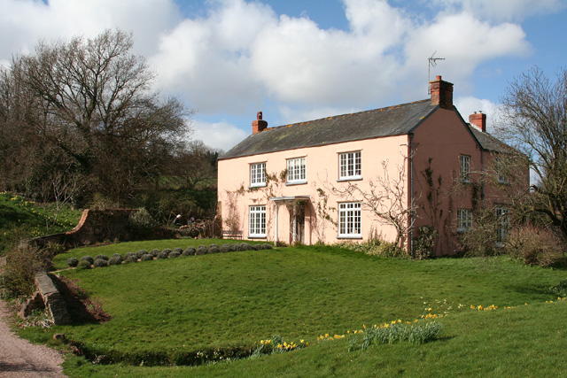
Wellisford is a picturesque village located in the county of Somerset, England. Situated approximately 6 miles northwest of the town of Wellington, it is nestled in the beautiful countryside of the Blackdown Hills Area of Outstanding Natural Beauty.
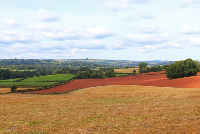
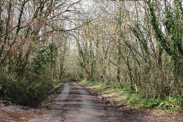
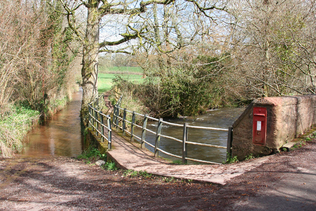
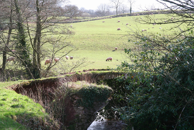
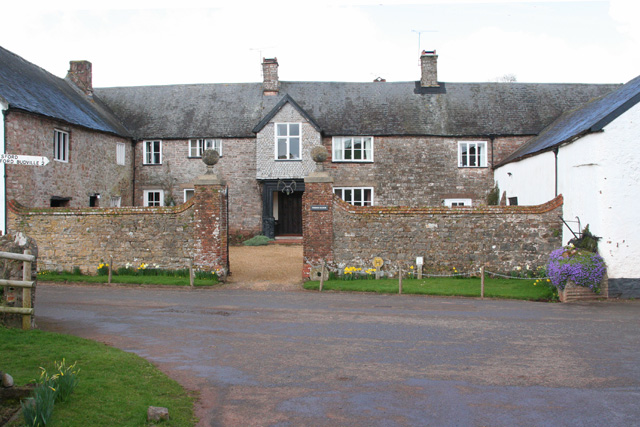
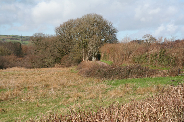
The village is known for its charming and quintessentially English architecture, featuring a mixture of thatched cottages, stone houses, and timber-framed buildings. Wellisford is surrounded by lush green fields, rolling hills, and meandering streams, offering residents and visitors an idyllic rural setting.
Despite its small size, Wellisford boasts a strong sense of community, with a close-knit population of around 400 residents. The village is served by a local primary school, providing education for the younger members of the community.
Historically, Wellisford was primarily an agricultural village, with farming playing a significant role in its economy. However, in recent years, many residents have found employment in nearby towns and cities, commuting for work.
The village also benefits from its proximity to the stunning Quantock Hills and Exmoor National Park, both of which are popular destinations for outdoor enthusiasts. Hiking, cycling, and horse riding are common activities enjoyed by residents and visitors alike.
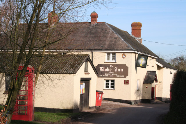
Wellisford has limited amenities, with a small village shop and a traditional pub serving as the main gathering places for locals. However, for a wider range of services and facilities, the nearby town of Wellington provides a convenient option.
Overall, Wellisford offers a tranquil and picturesque location, perfect for those seeking a peaceful rural retreat amidst the natural beauty of Somerset.
If you have any feedback on the listing, please let us know in the comments section below.
Wellisford Images
Images are sourced within 2km of 50.98119/-3.2976923 or Grid Reference ST0921. Thanks to Geograph Open Source API. All images are credited.
Wellisford is located at Grid Ref: ST0921 (Lat: 50.98119, Lng: -3.2976923)
Administrative County: Somerset
District: Somerset West and Taunton
Police Authority: Avon and Somerset
What 3 Words
///reservoir.expect.crisps. Near Milverton, Somerset
Related Wikis

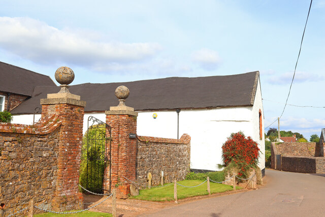
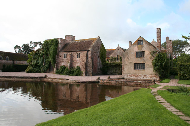
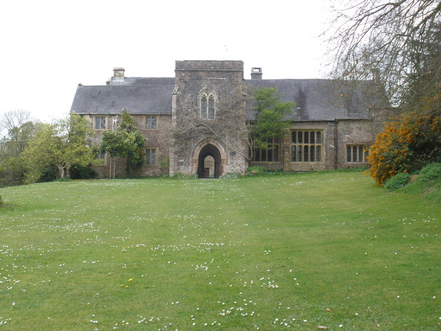
Cothay Manor
Cothay Manor is a grade one listed medieval house and gardens, in Stawley, near Wellington, Somerset. The manor grounds consist of almost 40 acres and...

Thorne St Margaret
Thorne St Margaret is a village in the civil parish of Wellington Without in the Taunton Deane district of Somerset, England. It is situated 3 miles west...

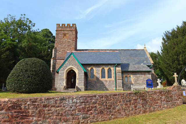
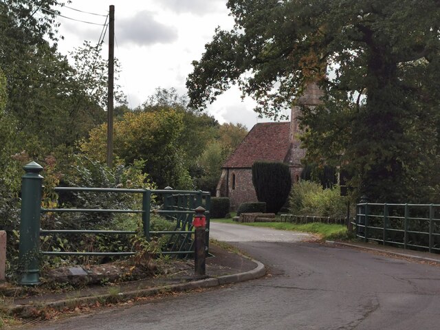
Church of St Margaret, Thorne St Margaret
The Anglican Church of St Margaret in Thorne St Margaret, Somerset, England was built in the 15th century. It is a Grade II* listed building. == History... ==
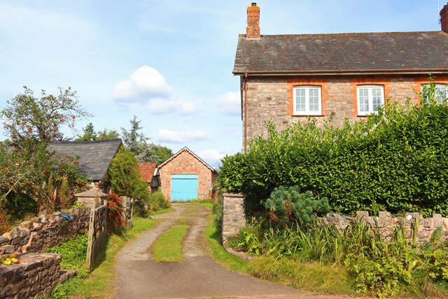
Greenham Barton
Greenham Barton is a 13th-century manor house in the civil parish of Stawley, Somerset, England (at Greenham, west of Wellington in Somerset). Built in...

Greenham Hall
Greenham Hall is a country house at Wellington in Somerset. It was once the home of Admiral of the Fleet Sir John Kelly. It is a Grade II listed building...

Church of St Nicholas, Kittisford
The Anglican Church of St Nicholas in Kittisford, Somerset, England was built around 1500. It is a Grade II* listed building. == History == The church...
Kittisford
Kittisford is a village and former civil parish and manor, now in the parish of Stawley in the Somerset district, in the ceremonial county of Somerset...

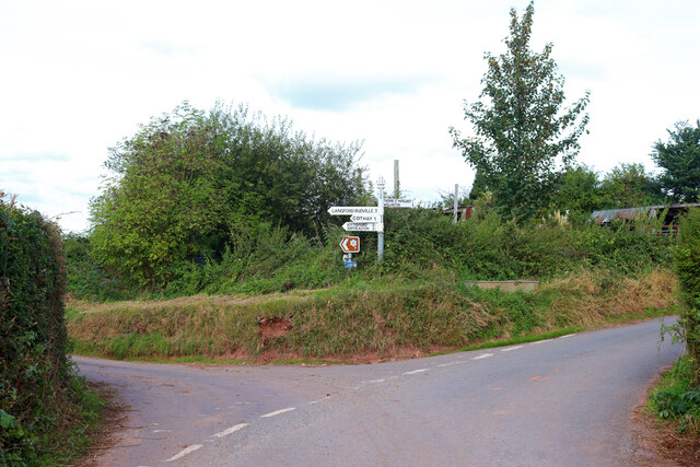
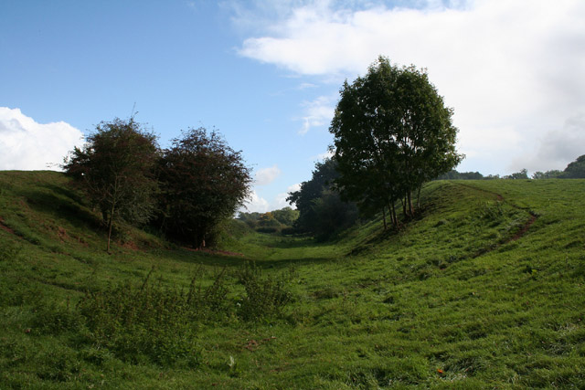
Langford Heathfield
Langford Heathfield (grid reference ST100235) is a 95.4 hectare (235.7 acre) biological Site of Special Scientific Interest at Langford Budville, 3 km...
Nearby Amenities
Located within 500m of 50.98119,-3.2976923Have you been to Wellisford?
Leave your review of Wellisford below (or comments, questions and feedback).