Cannon Heath Wood

Wood, Forest in Herefordshire

England

Cannon Heath Wood

Bridge over the River Leadon Bridge over the River Leadon on the B4214, north of Ledbury.
Bridge over the River Leadon Credit: Philip Halling

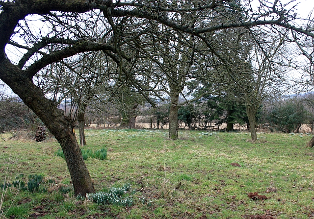
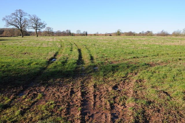
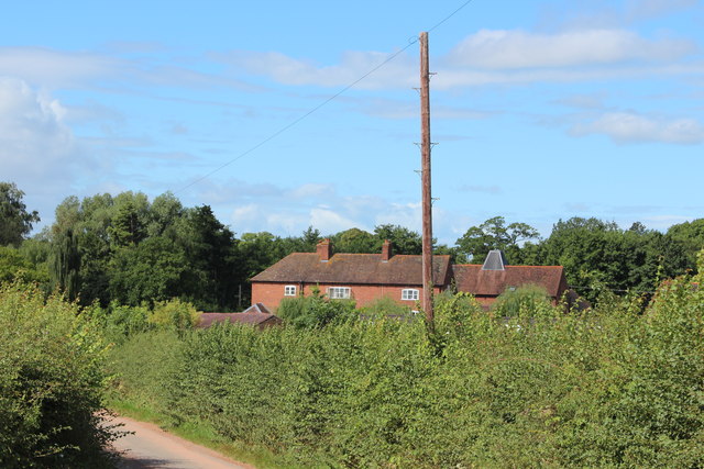
Cannon Heath Wood is a charming woodland located in Herefordshire, England. Covering an area of approximately 100 acres, it is nestled in the heart of the picturesque countryside, offering visitors a tranquil and serene environment to explore. The wood is part of a larger forest complex and is easily accessible, with several footpaths and trails that wind through its ancient trees.

The wood boasts a rich biodiversity, with a variety of tree species including oak, beech, and birch, creating a diverse and vibrant ecosystem. This diversity supports a wide range of wildlife, including birds, mammals, and insects. Birdwatchers will delight in the opportunity to spot species such as woodpeckers, tawny owls, and nuthatches among the dense foliage.

Visitors to Cannon Heath Wood can enjoy a leisurely stroll along the well-maintained paths, immersing themselves in the natural beauty of the surroundings. The wood offers a peaceful retreat from the hustle and bustle of everyday life, providing a perfect setting for relaxation and reflection.

Nature enthusiasts can also engage in activities such as wildlife photography, as the wood provides numerous picture-perfect opportunities. Additionally, the wood is a popular destination for educational visits and school outings, offering an interactive learning experience about the local flora and fauna.

Overall, Cannon Heath Wood is a splendid woodland that showcases the enchanting beauty of Herefordshire's natural landscape. Its tranquil ambiance and diverse ecosystem make it a must-visit destination for nature lovers and those seeking a peaceful escape.

If you have any feedback on the listing, please let us know in the comments section below.

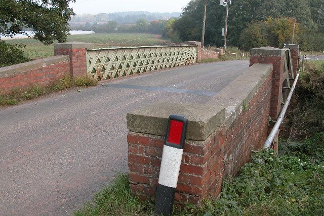
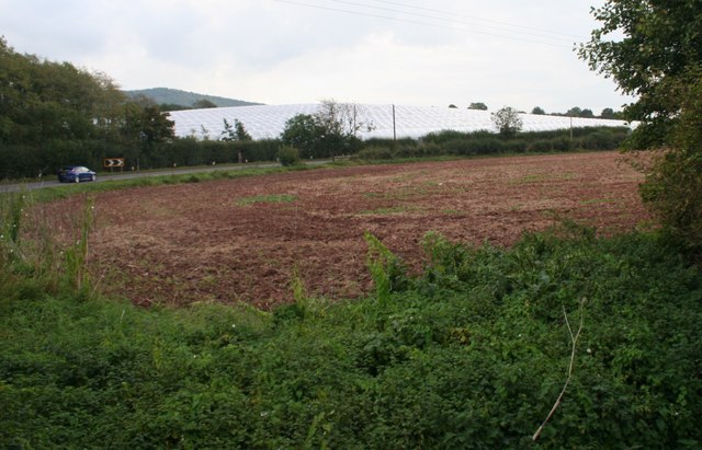
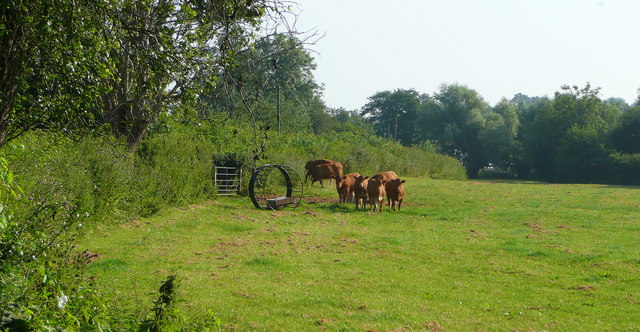
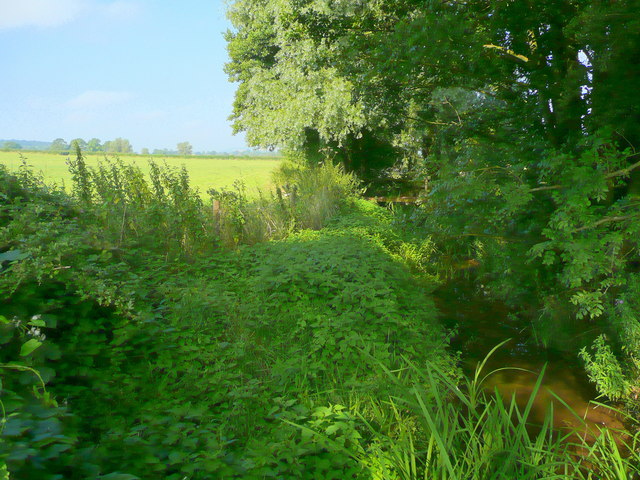
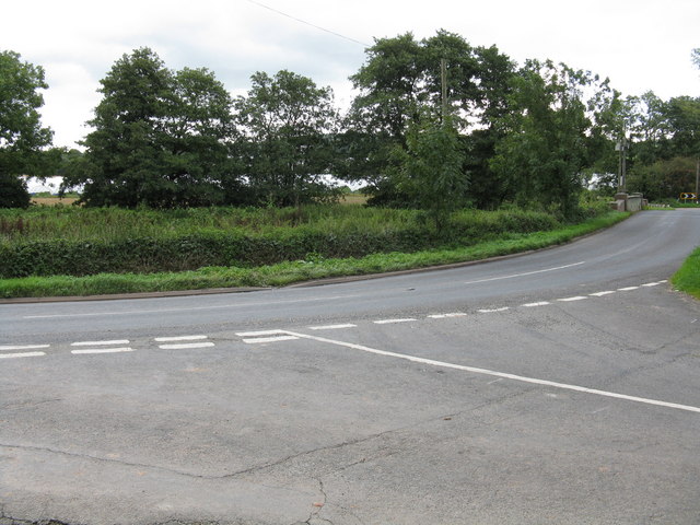
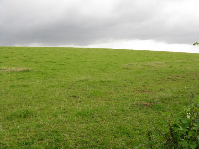
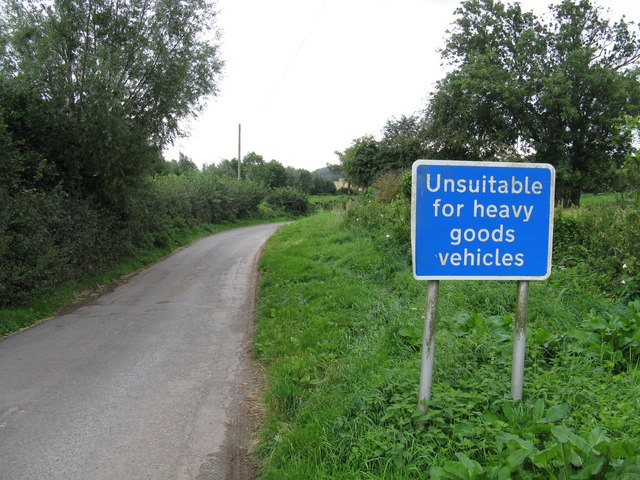
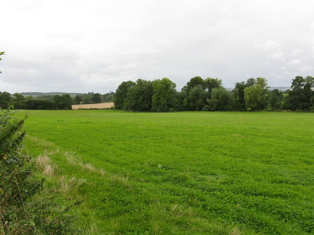
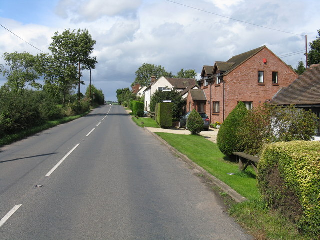
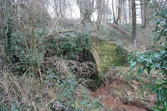
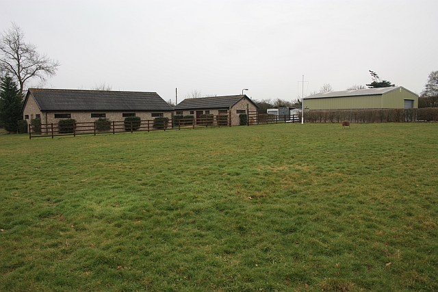
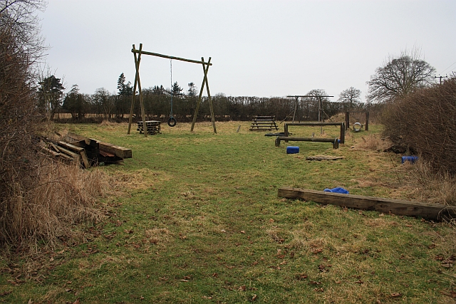
Cannon Heath Wood Images

Images are sourced within 2km of 52.066567/-2.4228393 or Grid Reference SO7140. Thanks to Geograph Open Source API. All images are credited.

Bridge over the River Leadon Bridge over the River Leadon on the B4214, north of Ledbury.
Bridge over the River Leadon
Bridge over the River Leadon on the B4214, north of Ledbury.
Polytunnels,  North of Ledbury Taken from the <a href="https://www.geograph.org.uk/photo/66558">SO6940 : Bridge over the River Leadon</a>.
Polytunnels, North of Ledbury
Young cattle at Storesbrook In pasture to the east of the Plaistow Lane.
Young cattle at Storesbrook
In pasture to the east of the Plaistow Lane.
Stores Brook This small brook flows east from Munsley to meet the Leadon and then flow south-east to the Severn near Gloucester.
Stores Brook
This small brook flows east from Munsley to meet the Leadon and then flow south-east to the Severn near Gloucester.
Tight curve on the B4220 The Bromyard-Ledbury road flicks from one side of the River Leadon to the other by means of a narrow bridge and two sharp curves.  Taken from the junction on the western curve, polytunnels are visible in the distance - a subject of some local controversy.
Tight curve on the B4220
The Bromyard-Ledbury road flicks from one side of the River Leadon to the other by means of a narrow bridge and two sharp curves. Taken from the junction on the western curve, polytunnels are visible in the distance - a subject of some local controversy.
Hillside by the B4220
Unsuitable for HGVs A clear message at the entry to the lane to Plaistow Farm off the B4220 dissuades lorries from taking a short cut.
Unsuitable for HGVs
A clear message at the entry to the lane to Plaistow Farm off the B4220 dissuades lorries from taking a short cut.
Leadon Valley near Lower Southfield Trees mark the line of the river.
Leadon Valley near Lower Southfield
Trees mark the line of the river.
Staplow - The Old Forge
Aqueduct near Staplow Carrying the old Hereford and Gloucester canal above the River Leadon.
Aqueduct near Staplow
Carrying the old Hereford and Gloucester canal above the River Leadon.
Scout buildings , Warren Oak Scout Camp, Staplow Looking over one of the several camp sites at this camp.
Scout buildings , Warren Oak Scout Camp, Staplow
Looking over one of the several camp sites at this camp.
Assault course, Warren Oak Scout Camp, Staplow Part of the 15 acre camp site.
<span class="nowrap"><a title="http://www.malvernscouts.org.uk/index.php?q=node/36" rel="nofollow ugc noopener" href="http://www.malvernscouts.org.uk/index.php?q=node/36">Link</a><img style="margin-left:2px;" alt="External link" title="External link - shift click to open in new window" src="https://s1.geograph.org.uk/img/external.png" width="10" height="10"/></span>
Assault course, Warren Oak Scout Camp, Staplow
Part of the 15 acre camp site. LinkExternal link
Snowdrops in the old orchard Where the footpath crosses the old orchard at the back of Wood Leigh.
Snowdrops in the old orchard
Where the footpath crosses the old orchard at the back of Wood Leigh.
Guide Camp at Warren Oak A mixture of Guides from several companies enjoying the very warm summer weather.
Guide Camp at Warren Oak
A mixture of Guides from several companies enjoying the very warm summer weather.
Polytunnels near the road
Bridge over the Leadon Notice red coloured clay, so common in Herefordshire
Bridge over the Leadon
Notice red coloured clay, so common in Herefordshire
Meadowland in the Leadon valley Meadowland in the Leadon valley to the south of Bosbury.
Meadowland in the Leadon valley
Meadowland in the Leadon valley to the south of Bosbury.
Oast House at Prior's Court, Staplow Internal kiln oast house.
Oast House at Prior's Court, Staplow
Internal kiln oast house.
Show me another place!

Cannon Heath Wood is located at Grid Ref: SO7140 (Lat: 52.066567, Lng: -2.4228393)

Unitary Authority: County of Herefordshire

Police Authority: West Mercia

What 3 Words

///spilled.eliminate.parrot. Near Ledbury, Herefordshire

Related Wikis

Wellington Heath

Wellington Heath is a small village and civil parish in Herefordshire, England, approximately 1.5 miles (2.4 km) north of Ledbury. The population was recorded...

Hope End

Hope End is an area and former estate of Herefordshire, England, near the Malvern Hills, noted for its literary associations. As described by a 19th-century...

Coddington, Herefordshire

Coddington is a hamlet and civil parish in eastern Herefordshire, England, about 3 miles (4.8 km) north of Ledbury. The west side of the parish covers...

Herefordshire and Gloucestershire Canal

The Herefordshire and Gloucestershire Canal (sometimes known as the Hereford and Gloucester Canal) is a canal in the west of England, which ran from Hereford...

Ledbury Signal Box

Ledbury Signal Box is a typical Great Western Railway traditional lever frame signal box which remains in daily use at Ledbury Station, Herefordshire,...

Ledbury railway station

Ledbury railway station is located on the outskirts of the town of Ledbury, on the Worcester to Hereford line in the English Midlands. It has regular services...

Ledbury Tunnel

Ledbury Tunnel is a single-track railway tunnel immediately to the east of Ledbury railway station on the Cotswold Line, in Herefordshire, England. The...

Hereford Road Skew Bridge

Hereford Road Skew Bridge is a disused railway bridge in Ledbury, Herefordshire. Built in 1881 to carry the Ledbury and Gloucester Railway across the Hereford...

Nearby Amenities

Located within 500m of 52.066567,-2.4228393
Bus Stop
The Swallow
Bus: yes
Naptan AtcoCode: 2090A0106134
Naptan Bearing: E
Naptan CommonName: The Swallow
Naptan Indicator: opp
Naptan NaptanCode: heratgmg
Naptan Street: Church Lane
Naptan Verified: no
Public Transport: platform
Source: naptan_import
Lat/Long: 52.0645565/-2.419055
Bus Stop
The Swallow
Bus: yes
Naptan AtcoCode: 2090A0106136
Naptan Bearing: W
Naptan BusStopType: CUS
Naptan CommonName: The Swallow
Naptan Indicator: adj
Naptan NaptanCode: heratgmj
Naptan Street: Church Lane
Naptan Verified: no
Public Transport: platform
Source: naptan_import
Lat/Long: 52.0645117/-2.4190077
Bus Stop
Loxter
Bus: yes
Naptan AtcoCode: 2090A0106148
Naptan Bearing: NE
Naptan CommonName: Loxter
Naptan Indicator: adj Raycombe Lane
Naptan NaptanCode: heratgp
Naptan Street: Church Lane
Naptan Verified: no
Public Transport: platform
Source: naptan_import
Lat/Long: 52.0658279/-2.415844
Bus Stop
Oak Tree
Bus: yes
Naptan AtcoCode: 2090A067800
Naptan Bearing: SW
Naptan BusStopType: CUS
Naptan CommonName: Oak Tree
Naptan Indicator: adj
Naptan Landmark: Old Church- Oak tree
Naptan NaptanCode: heradgjd
Naptan Street: Church Lane
Naptan Verified: no
Public Transport: platform
Source: naptan_import
Lat/Long: 52.0637252/-2.4205654
Loxter
Naptan AtcoCode: 2090A071200
Naptan Bearing: SW
Naptan BusStopType: CUS
Naptan CommonName: Loxter
Naptan Indicator: opp Raycombe Lane
Naptan NaptanCode: heradgtm
Naptan Street: Church Lane
Naptan Verified: no
Source: naptan_import
Lat/Long: 52.0656663/-2.415755
Bus Stop
Oak Tree
Bus: yes
Naptan AtcoCode: 2090A18745
Naptan Bearing: NE
Naptan BusStopType: CUS
Naptan CommonName: Oak Tree
Naptan Indicator: opp
Naptan Landmark: Old Church- Oak Tree
Naptan NaptanCode: herajdat
Naptan Street: Church Lane
Naptan Verified: no
Public Transport: platform
Source: naptan_import
Lat/Long: 52.063712/-2.4207207
Post Box
Collection Times: Mo-Fr 16:30; Sa 08:00
Description: Against wooden fence
Post Box Type: lamp
Ref: HR8 739
Lat/Long: 52.063953/-2.420833
Bench
Description: Round; Metal; Surrounds tree
Lat/Long: 52.064041/-2.4205333
Bench
Lat/Long: 52.0645203/-2.4192976
Barrier: stile
Source: survey
Lat/Long: 52.0642733/-2.4179193
Barrier: stile
Source: survey
Lat/Long: 52.0644752/-2.4178342
Barrier: kissing_gate
Source: survey
Lat/Long: 52.0633165/-2.4183376
Fire Hydrant
Emergency: fire_hydrant
Fire Hydrant Type: underground
Source: survey
Lat/Long: 52.0641007/-2.4204522
Grit Bin
Source: survey
Lat/Long: 52.0640574/-2.4207647
Generator Method: photovoltaic
Generator Output Electricity: yes
Generator Source: solar
Generator Type: solar_photovoltaic_panel
Location: roof
Power: generator
Lat/Long: 52.0628326/-2.4196731
Generator Method: photovoltaic
Generator Output Electricity: yes
Generator Source: solar
Generator Type: solar_photovoltaic_panel
Location: roof
Power: generator
Lat/Long: 52.0627386/-2.4196355
Wellington Heath North
Power: pole
Transformer: distribution
Voltage Primary: 11000
Lat/Long: 52.0637548/-2.4200023
Hill Cottages West Heath
Power: pole
Transformer: distribution
Voltage Primary: 11000
Lat/Long: 52.0634329/-2.4186015
Power: pole
Lat/Long: 52.0632956/-2.4180362
The Glen
Power: pole
Transformer: distribution
Voltage Primary: 11000
Lat/Long: 52.0655493/-2.4244903
Power: pole
Lat/Long: 52.0662365/-2.4253238
Power: pole
Lat/Long: 52.0668919/-2.4261278
Power: pole
Lat/Long: 52.0675284/-2.4269036
Upper House West Heath
Power: pole
Transformer: distribution
Voltage Primary: 11000
Lat/Long: 52.0677773/-2.4272127
Power: pole
Lat/Long: 52.0685556/-2.4281522
The data included in this document is from www.openstreetmap.org. The data is made available under ODbL.

Have you been to Cannon Heath Wood?

Leave your review of Cannon Heath Wood below (or comments, questions and feedback).