Whiteside Wood

Wood, Forest in Yorkshire Craven

England

Whiteside Wood

Boundary wall on  Blakeamaya Foggy morning.
Boundary wall on Blakeamaya Credit: steven ruffles

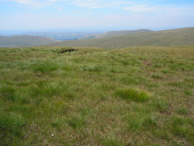
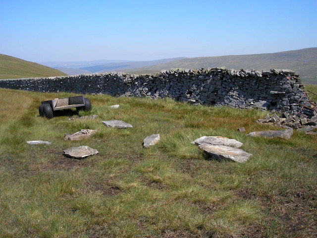
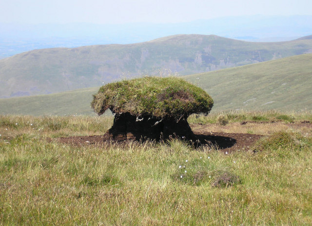
Whiteside Wood is a picturesque forest located in Yorkshire, England. Covering an area of approximately 100 acres, it is a popular destination for nature lovers and outdoor enthusiasts. The wood is situated in a rural area, surrounded by rolling hills and scenic landscapes, providing visitors with a serene and tranquil atmosphere.

Composed mainly of deciduous trees, Whiteside Wood offers a stunning display of vibrant colors throughout the year. In spring, the forest comes alive with blossoming flowers and the sweet scent of wildflowers fills the air. During summer, the dense canopy provides shade, creating a cool and refreshing environment for visitors to explore.

The wood is home to a diverse range of wildlife, making it an ideal spot for birdwatching and animal spotting. Visitors may catch a glimpse of deer, foxes, squirrels, and a variety of bird species. The forest also boasts a network of well-maintained walking trails, allowing visitors to immerse themselves in the beauty of nature while enjoying a leisurely stroll or engaging in more challenging hikes.

Whiteside Wood is not only a haven for nature enthusiasts but also a valuable educational resource. It offers guided tours and educational programs for schools and community groups, providing an opportunity to learn about the forest ecosystem, conservation efforts, and sustainable forestry practices.

Overall, Whiteside Wood in Yorkshire is a breathtaking natural retreat that offers a delightful blend of scenic beauty, wildlife, and educational opportunities. Whether one seeks solace in nature, embarks on an adventure, or simply wishes to appreciate the wonders of the natural world, this wood is an ideal destination that promises an unforgettable experience.

If you have any feedback on the listing, please let us know in the comments section below.

Whiteside Wood Images

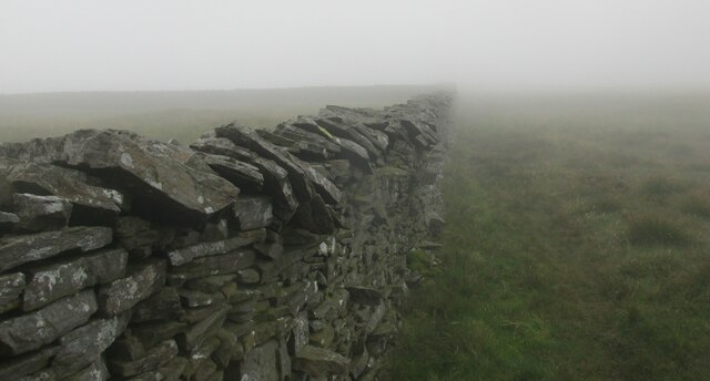
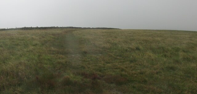
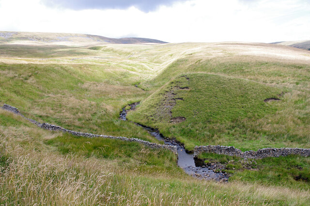
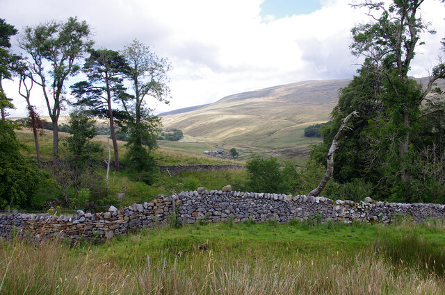
Images are sourced within 2km of 54.216923/-2.4447283 or Grid Reference SD7180. Thanks to Geograph Open Source API. All images are credited.

Boundary wall on  Blakeamaya Foggy morning.
Boundary wall on Blakeamaya
Foggy morning.
Path on Green Hill The highest spot in Lancashire.
Path on Green Hill
The highest spot in Lancashire.
Yordas Grains, Kingsdale Yordas Gill winds down the fellside before dropping down into Yordas Cave (out of picture, ~100m to right).
Yordas Grains, Kingsdale
Yordas Gill winds down the fellside before dropping down into Yordas Cave (out of picture, ~100m to right).
Yordas Wood, Kingsdale Looking towards Kingsdale Head. Whernside is in the background.
Yordas Wood, Kingsdale
Looking towards Kingsdale Head. Whernside is in the background.
On the Gragareth ridge Looking west towards Lunesdale in the heat haze.
On the Gragareth ridge
Looking west towards Lunesdale in the heat haze.
Work in progress The truck has been used to carry stone and equipment up the fell to repair the collapsed part of the wall at the right. No work was actually in progress on this extremely hot day.
Work in progress
The truck has been used to carry stone and equipment up the fell to repair the collapsed part of the wall at the right. No work was actually in progress on this extremely hot day.
Giant toadstool? No, it's a peat hag. The surrounding peat has eroded down a few feet and grass has grown on top. This remaining islet of peat will slowly erode until it disappears.

Middleton Fell can be seen in the distance.
Giant toadstool?
No, it's a peat hag. The surrounding peat has eroded down a few feet and grass has grown on top. This remaining islet of peat will slowly erode until it disappears. Middleton Fell can be seen in the distance.
Millstone Hagg, Gragareth At this point on the steep eastern flank of the hill large blocks of the rock appear to have slipped down a little creating fissures. This would be a tricky place in a whiteout or under snow but few people ever pass this way. The rock is millstone grit and may have been quarried (for the nearby walls?) but I saw no definite signs of this nor any actual millstones.
Millstone Hagg, Gragareth
At this point on the steep eastern flank of the hill large blocks of the rock appear to have slipped down a little creating fissures. This would be a tricky place in a whiteout or under snow but few people ever pass this way. The rock is millstone grit and may have been quarried (for the nearby walls?) but I saw no definite signs of this nor any actual millstones.
Moorland ridge north of Gragareth A long ridge extends from Gragareth over Green Hill to Great Coum. The wall on the right marks the boundary between Lancashire and North Yorkshire. The going is quite wet, but there is enough solid ground to allow good progress.
Moorland ridge north of Gragareth
A long ridge extends from Gragareth over Green Hill to Great Coum. The wall on the right marks the boundary between Lancashire and North Yorkshire. The going is quite wet, but there is enough solid ground to allow good progress.
Small tarn between Gragareth and Green Hill This is on a long moorland ridge. The land falls away into Ease Gill with Crag Hill on the other side.
Small tarn between Gragareth and Green Hill
This is on a long moorland ridge. The land falls away into Ease Gill with Crag Hill on the other side.
Path to Green Hill The path leads into the slight depression between Gragareth and Green Hill, following the boundary between Lancashire and North Yorkshire. There is slightly greener grass on Green Hill than anywhere else in view.
Path to Green Hill
The path leads into the slight depression between Gragareth and Green Hill, following the boundary between Lancashire and North Yorkshire. There is slightly greener grass on Green Hill than anywhere else in view.
The col between Gragareth and Green Hill There is a soggy bit at the bottom as you might expect, but it is not large.
The col between Gragareth and Green Hill
There is a soggy bit at the bottom as you might expect, but it is not large.
The col between Gragareth and Green Hill Looking south towards Gragareth.
The col between Gragareth and Green Hill
Looking south towards Gragareth.
The Lancashire side of the ridge The land slopes down towards Ease Gill, hidden by the curve of the hill, which is the border with Cumbria.
The Lancashire side of the ridge
The land slopes down towards Ease Gill, hidden by the curve of the hill, which is the border with Cumbria.
Approaching Green Hill from the South Part of the long ridge between Gragareth and Great Coum - the wall being the county boundary between Lancashire and North Yorkshire.
Approaching Green Hill from the South
Part of the long ridge between Gragareth and Great Coum - the wall being the county boundary between Lancashire and North Yorkshire.
On a Ridge called Blakeamaya Section of the broad ridge that runs from Gragareth to Great Coum
On a Ridge called Blakeamaya
Section of the broad ridge that runs from Gragareth to Great Coum
On Millstone Hagg Part of the broad ridge that runs from Gragareth to Great Coum - surmounted by a substantial stone wall that marks the county boundary between North Yorkshire and Lancashire
On Millstone Hagg
Part of the broad ridge that runs from Gragareth to Great Coum - surmounted by a substantial stone wall that marks the county boundary between North Yorkshire and Lancashire
Turbary Pasture, Gragareth A huge enclosure of rough pasture that was once a source of peat for cutting and the end destination of the Turbary Road above Kingsdale. Whernside, the highest mountain in the Yorkshire Dales soars above the dale head.
Turbary Pasture, Gragareth
A huge enclosure of rough pasture that was once a source of peat for cutting and the end destination of the Turbary Road above Kingsdale. Whernside, the highest mountain in the Yorkshire Dales soars above the dale head.
Show me another place!

Whiteside Wood is located at Grid Ref: SD7180 (Lat: 54.216923, Lng: -2.4447283)

Division: West Riding

Administrative County: North Yorkshire

District: Craven

Police Authority: North Yorkshire

What 3 Words

///boardroom.sung.vesting. Near Ingleton, North Yorkshire

Related Wikis

Thornton in Lonsdale

Thornton in Lonsdale is a village and civil parish in the Craven District and ceremonial county of North Yorkshire in England. It is very close to the...

Yordas Cave

Yordas Cave is a solutional cave in Kingsdale, North Yorkshire, England. It has been renowned since the eighteenth century as a natural curiosity, and...

Green Hill (Lancashire)

Green Hill is a mountain or fell in north west England. Its summit is 628 metres (2,060 ft) above sea level. It is located above Cowan Bridge, Lancashire...

Jingling Pot

Jingling Pot is a limestone cave in West Kingsdale, North Yorkshire, England. Located adjacent to Jingling Beck, it is a lenticular-shaped 45-metre (148...

Nearby Amenities

Located within 500m of 54.216923,-2.4447283
Passing Place
Lat/Long: 54.2200896/-2.4397762
The data included in this document is from www.openstreetmap.org. The data is made available under ODbL.

Have you been to Whiteside Wood?

Leave your review of Whiteside Wood below (or comments, questions and feedback).