Siding Wood

Wood, Forest in Herefordshire

England

Siding Wood

A449 near Massington Farm
A449 near Massington Farm Credit: Peter Whatley

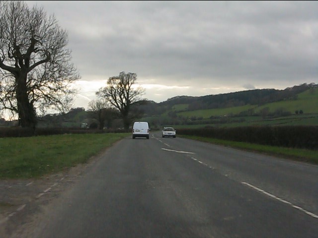
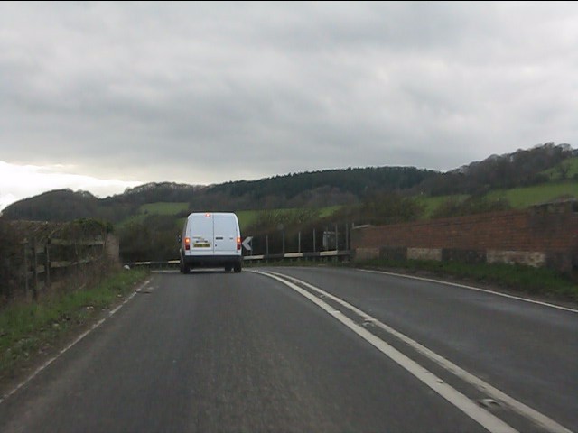
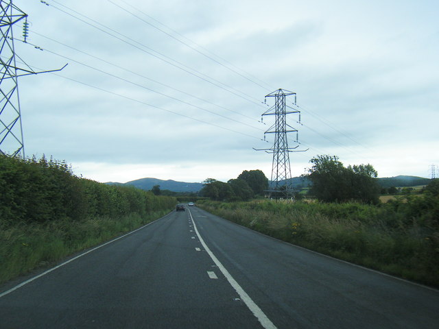
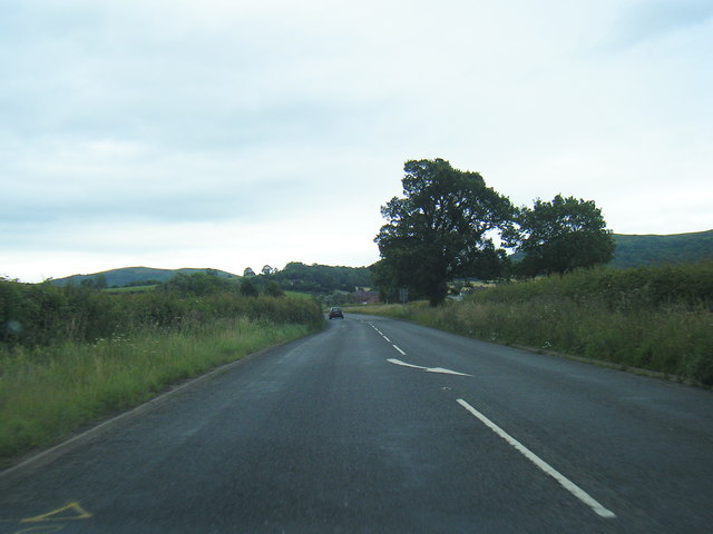
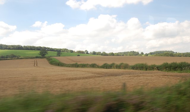
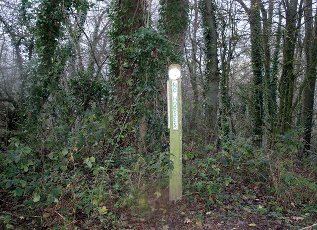
Siding Wood, located in Herefordshire, is a picturesque forest area with a rich history and diverse ecosystem. Covering an extensive area, it is known for its stunning woodlands and lush greenery. The wood is predominantly made up of deciduous trees, such as oak, beech, and ash, which create a vibrant canopy during the summer months.

The wood has been well-preserved over the years and is maintained by local authorities to ensure its natural beauty remains intact. It is a popular destination for nature enthusiasts, hikers, and birdwatchers due to its tranquil atmosphere and abundance of wildlife. The forest provides a habitat for various species, including deer, foxes, badgers, and a wide array of bird species.

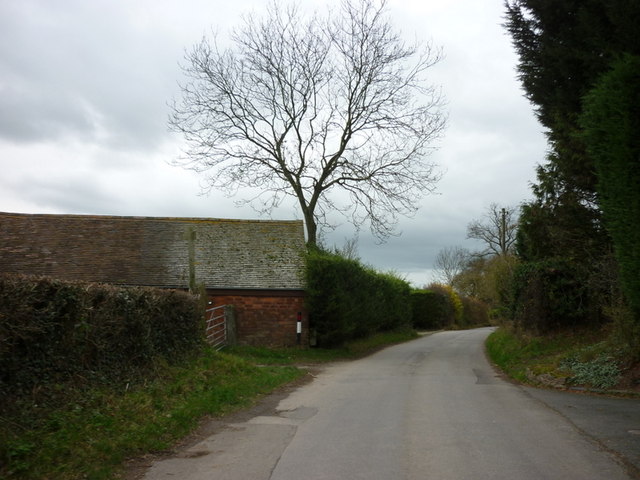
Siding Wood offers numerous walking trails and paths, allowing visitors to explore its beauty at their own pace. These trails are well-marked and provide a peaceful escape from the hustle and bustle of everyday life. The wood also features a picnic area, providing the perfect spot for families and friends to enjoy a day out surrounded by nature.

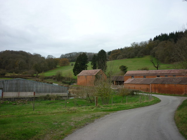
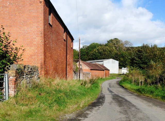
In addition to its natural charm, Siding Wood has historical significance. It is believed to have been used as a hunting ground for local nobility in the past, and remnants of ancient structures, such as old stone walls and ruins, can still be found within the forest.

Overall, Siding Wood in Herefordshire is a captivating destination that offers a blend of natural beauty, biodiversity, and historical intrigue. It is a place where visitors can immerse themselves in the wonders of nature while exploring the region's rich heritage.

If you have any feedback on the listing, please let us know in the comments section below.
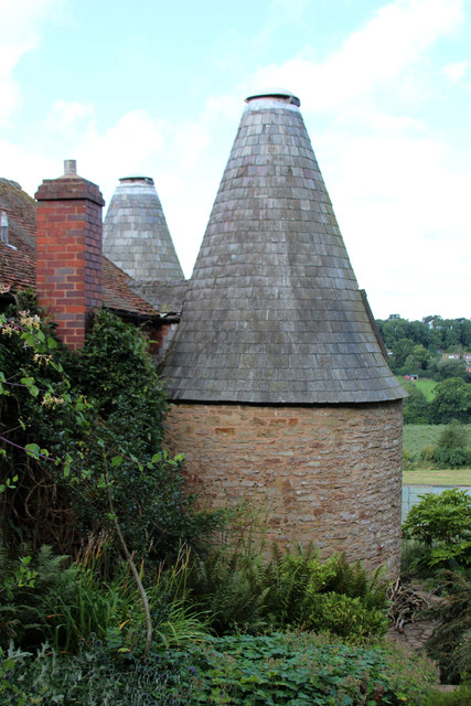
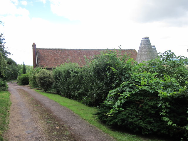
Siding Wood Images

Images are sourced within 2km of 52.064193/-2.4128976 or Grid Reference SO7140. Thanks to Geograph Open Source API. All images are credited.

A449 near Massington Farm
A449 bridges the Malvern - Ledbury railway
Junction on the B4214 Road junction on the B4214 to the north of Ledbury. The off this junction goes to Wellington Heath.
Junction on the B4214
Road junction on the B4214 to the north of Ledbury. The off this junction goes to Wellington Heath.
Upper Mitchell Farm
Upper Mitchell Farm
Oast Houses at Upper Mitchell Farm
Farm building near Bradlow
Houses in Ledbury
Houses in Ledbury
Worcester Road crossed by power lines
Worcester Road looking east
Fields near Petty France From Railway Line.
Fields near Petty France
From Railway Line.
Upper Mitchell Farm, Wellington Heath, Herefordshire The farm buildings were rundown and the buildings to the west of the road were in some decay.
Upper Mitchell Farm, Wellington Heath, Herefordshire
The farm buildings were rundown and the buildings to the west of the road were in some decay.
Frith Hill - Bradlow Knoll Parked at track entrance at SO 72088 40769. Walked SE along minor road to public footpath over whole of wooded ridge and back.  Sign states no horses.
Name: Frith Hill - Bradlow Knoll
Hill number: 5372
Height: 238m / 781ft
Area: 38B: West Gloucestershire, Hereford & Worcester
Class: Hu
Grid ref: SO 71628 39043
Summit feature: no feature
Drop: 125m
Col: 113m  SO732398
Frith Hill - Bradlow Knoll
Parked at track entrance at SO 72088 40769. Walked SE along minor road to public footpath over whole of wooded ridge and back. Sign states no horses. Name: Frith Hill - Bradlow Knoll Hill number: 5372 Height: 238m / 781ft Area: 38B: West Gloucestershire, Hereford & Worcester Class: Hu Grid ref: SO 71628 39043 Summit feature: no feature Drop: 125m Col: 113m SO732398
Upper Mitchell Farm near Wellington Heath
Unconverted Oast House at Upper Mitchell Farm
Kiln Cottage, Frith Wood Two round kiln oast house. Known as Kiln Cottage
Kiln Cottage, Frith Wood
Two round kiln oast house. Known as Kiln Cottage
Kiln Cottage, Frith Wood Two round kiln oast house. Known as Kiln Cottage
Kiln Cottage, Frith Wood
Two round kiln oast house. Known as Kiln Cottage
Kiln Cottage, Frith Wood Two round kiln oast house. Known as Kiln Cottage
Kiln Cottage, Frith Wood
Two round kiln oast house. Known as Kiln Cottage
Kiln Cottage, Frith Wood Two round kiln oast house. Known as Kiln Cottage
Kiln Cottage, Frith Wood
Two round kiln oast house. Known as Kiln Cottage
Show me another place!

Siding Wood is located at Grid Ref: SO7140 (Lat: 52.064193, Lng: -2.4128976)

Unitary Authority: County of Herefordshire

Police Authority: West Mercia

What 3 Words

///blanked.slogans.promising. Near Ledbury, Herefordshire

Related Wikis

Hope End

Hope End is an area and former estate of Herefordshire, England, near the Malvern Hills, noted for its literary associations. As described by a 19th-century...

Wellington Heath

Wellington Heath is a small village and civil parish in Herefordshire, England, approximately 1.5 miles (2.4 km) north of Ledbury. The population was recorded...

Coddington, Herefordshire

Coddington is a hamlet and civil parish in eastern Herefordshire, England, about 3 miles (4.8 km) north of Ledbury. The west side of the parish covers...

Ledbury Tunnel

Ledbury Tunnel is a single-track railway tunnel immediately to the east of Ledbury railway station on the Cotswold Line, in Herefordshire, England. The...

Related Videos

Giant's Cave and a wander around the Malvern Hills

In this vlog I simply wanted to go and take a look at the Giant's Cave in the Malvern Hills as it is a part of the Malvern Hills I have ...

StationCottageColwall.co.uk

Stunning hostel, easy walking distance to Malvern Hills.

Warren Oak Camp - November 2016

The Scouts returned to Warren Oak for a weekend camp. They tested their map and compass skills on a hike around the local ...

Nearby Amenities

Located within 500m of 52.064193,-2.4128976
Bus Stop
The Swallow
Bus: yes
Naptan AtcoCode: 2090A0106134
Naptan Bearing: E
Naptan CommonName: The Swallow
Naptan Indicator: opp
Naptan NaptanCode: heratgmg
Naptan Street: Church Lane
Naptan Verified: no
Public Transport: platform
Source: naptan_import
Lat/Long: 52.0645565/-2.419055
Bus Stop
The Swallow
Bus: yes
Naptan AtcoCode: 2090A0106136
Naptan Bearing: W
Naptan BusStopType: CUS
Naptan CommonName: The Swallow
Naptan Indicator: adj
Naptan NaptanCode: heratgmj
Naptan Street: Church Lane
Naptan Verified: no
Public Transport: platform
Source: naptan_import
Lat/Long: 52.0645117/-2.4190077
Bus Stop
Loxter
Bus: yes
Naptan AtcoCode: 2090A0106148
Naptan Bearing: NE
Naptan CommonName: Loxter
Naptan Indicator: adj Raycombe Lane
Naptan NaptanCode: heratgp
Naptan Street: Church Lane
Naptan Verified: no
Public Transport: platform
Source: naptan_import
Lat/Long: 52.0658279/-2.415844
Loxter
Naptan AtcoCode: 2090A071200
Naptan Bearing: SW
Naptan BusStopType: CUS
Naptan CommonName: Loxter
Naptan Indicator: opp Raycombe Lane
Naptan NaptanCode: heradgtm
Naptan Street: Church Lane
Naptan Verified: no
Source: naptan_import
Lat/Long: 52.0656663/-2.415755
Bench
Lat/Long: 52.0645203/-2.4192976
Barrier: stile
Source: survey
Lat/Long: 52.0606873/-2.4126863
Barrier: kissing_gate
Source: survey
Lat/Long: 52.0630101/-2.4169054
Barrier: stile
Source: survey
Lat/Long: 52.0642733/-2.4179193
Barrier: stile
Source: survey
Lat/Long: 52.0644752/-2.4178342
Barrier: kissing_gate
Source: survey
Lat/Long: 52.0633165/-2.4183376
Generator Method: photovoltaic
Generator Output Electricity: yes
Generator Source: solar
Generator Type: solar_photovoltaic_panel
Location: roof
Power: generator
Lat/Long: 52.0618663/-2.4186927
Generator Method: photovoltaic
Generator Output Electricity: yes
Generator Source: solar
Generator Type: solar_photovoltaic_panel
Location: roof
Power: generator
Lat/Long: 52.0628326/-2.4196731
Generator Method: photovoltaic
Generator Output Electricity: yes
Generator Source: solar
Generator Type: solar_photovoltaic_panel
Location: roof
Power: generator
Lat/Long: 52.0627386/-2.4196355
Loxter
Power: pole
Transformer: distribution
Voltage Primary: 11000
Lat/Long: 52.0656754/-2.414939
Power: pole
Lat/Long: 52.0652253/-2.4149711
Power: pole
Lat/Long: 52.0648254/-2.4149953
Power: pole
Lat/Long: 52.0635071/-2.4156578
Power: pole
Lat/Long: 52.0643209/-2.4130601
Hope End Farm
Location Transition: yes
Power: pole
Transformer: distribution
Voltage Primary: 11000
Lat/Long: 52.0654265/-2.4103175
Power: pole
Lat/Long: 52.0652162/-2.4108312
Power: pole
Lat/Long: 52.0651132/-2.4114923
Power: pole
Lat/Long: 52.0647521/-2.4122179
Hope End Pump
Power: pole
Transformer: distribution
Voltage Primary: 11000
Lat/Long: 52.0638736/-2.4138855
Power: pole
Lat/Long: 52.0640348/-2.4150831
Wellington Heath North
Power: pole
Transformer: distribution
Voltage Primary: 11000
Lat/Long: 52.0637548/-2.4200023
Hill Cottages West Heath
Power: pole
Transformer: distribution
Voltage Primary: 11000
Lat/Long: 52.0634329/-2.4186015
Power: pole
Lat/Long: 52.0632956/-2.4180362
Power: pole
Lat/Long: 52.0630297/-2.4169379
Power: pole
Lat/Long: 52.0628871/-2.4163183
Power: pole
Lat/Long: 52.0622349/-2.4169929
Power: pole
Lat/Long: 52.0617228/-2.4175407
The data included in this document is from www.openstreetmap.org. The data is made available under ODbL.

Have you been to Siding Wood?

Leave your review of Siding Wood below (or comments, questions and feedback).