Wither's Coppice

Wood, Forest in Herefordshire

England

Wither's Coppice

Bridge over the River Leadon Bridge over the River Leadon on the B4214, north of Ledbury.
Bridge over the River Leadon Credit: Philip Halling

Wither's Coppice is a picturesque woodland located in Herefordshire, England. Covering an area of approximately 100 acres, this enchanting forest is known for its stunning natural beauty and diverse wildlife.

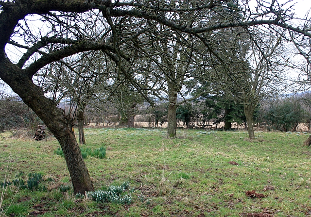
The coppice is predominantly made up of deciduous trees, including oak, ash, birch, and beech, which create a rich tapestry of colors throughout the seasons. The forest floor is adorned with a variety of wildflowers, such as bluebells and primroses, adding to the area's charm.

The woodland is crisscrossed with well-maintained footpaths, making it an ideal destination for nature enthusiasts and hikers. These paths offer visitors the opportunity to explore the forest and discover its hidden treasures, including ancient trees and small streams.

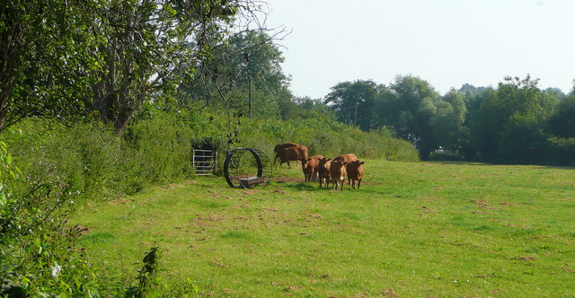
Wither's Coppice is also home to a wide range of wildlife. Birdwatchers can spot various species, such as woodpeckers, jays, and owls, while lucky visitors may catch a glimpse of deer or foxes roaming through the undergrowth. The forest provides a vital habitat for many woodland creatures, making it a hotspot for nature conservation.

In addition to its natural wonders, Wither's Coppice offers visitors several amenities to enhance their experience. There is a small visitor center where one can learn more about the history and ecology of the woodland. Picnic areas and benches are scattered throughout the forest, inviting visitors to relax and soak in the tranquil atmosphere.

Wither's Coppice is a true gem in Herefordshire, offering a sanctuary for nature lovers and a place of respite for those seeking solace in the beauty of the natural world.

If you have any feedback on the listing, please let us know in the comments section below.

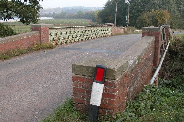
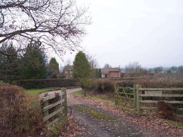
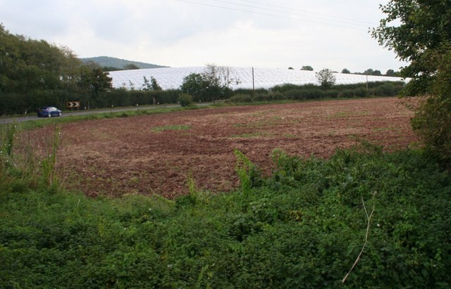
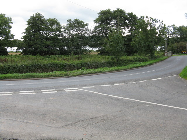
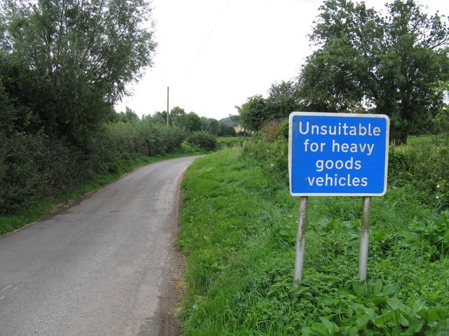
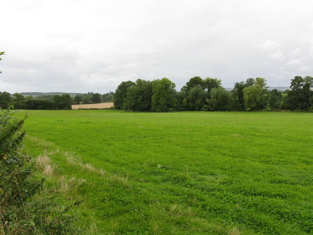
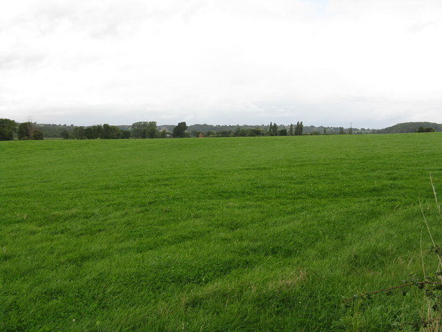
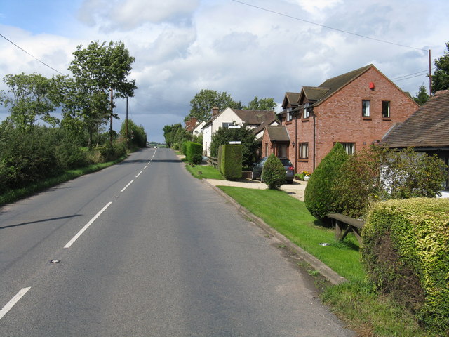
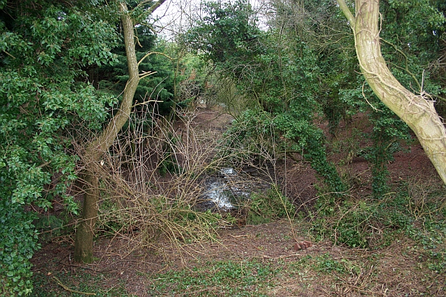
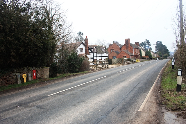
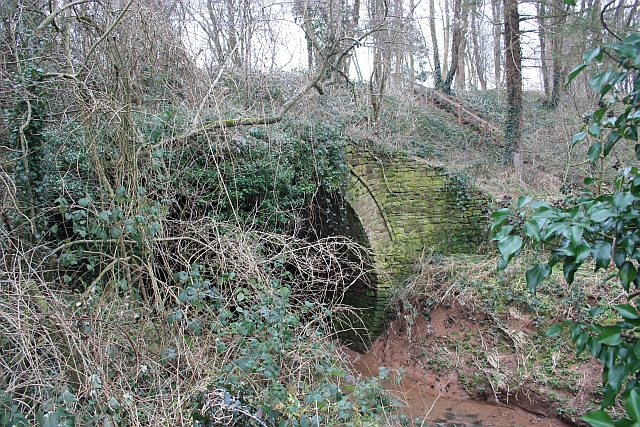
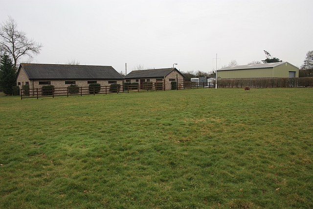
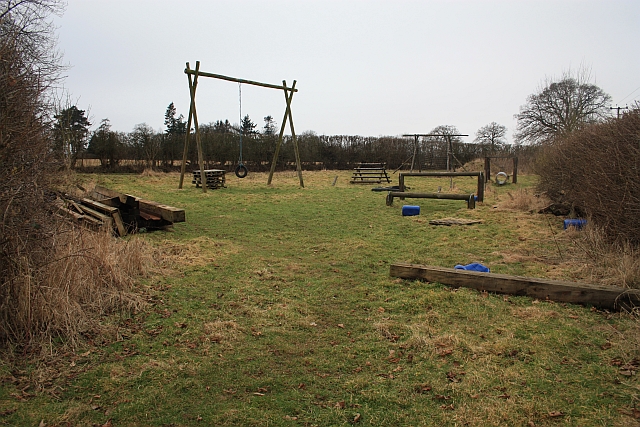
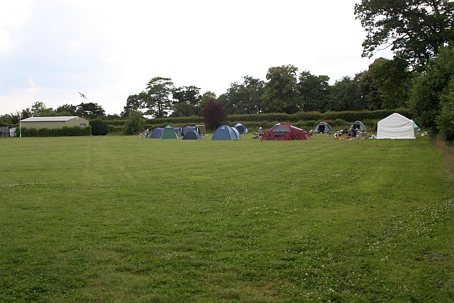
Wither's Coppice Images

Images are sourced within 2km of 52.070874/-2.4228508 or Grid Reference SO7141. Thanks to Geograph Open Source API. All images are credited.

Bridge over the River Leadon Bridge over the River Leadon on the B4214, north of Ledbury.
Bridge over the River Leadon
Bridge over the River Leadon on the B4214, north of Ledbury.
Sugarcroft Viewed from the east.
Sugarcroft
Viewed from the east.
Polytunnels,  North of Ledbury Taken from the <a href="https://www.geograph.org.uk/photo/66558">SO6940 : Bridge over the River Leadon</a>.
Polytunnels, North of Ledbury
Young cattle at Storesbrook In pasture to the east of the Plaistow Lane.
Young cattle at Storesbrook
In pasture to the east of the Plaistow Lane.
Tight curve on the B4220 The Bromyard-Ledbury road flicks from one side of the River Leadon to the other by means of a narrow bridge and two sharp curves.  Taken from the junction on the western curve, polytunnels are visible in the distance - a subject of some local controversy.
Tight curve on the B4220
The Bromyard-Ledbury road flicks from one side of the River Leadon to the other by means of a narrow bridge and two sharp curves. Taken from the junction on the western curve, polytunnels are visible in the distance - a subject of some local controversy.
Unsuitable for HGVs A clear message at the entry to the lane to Plaistow Farm off the B4220 dissuades lorries from taking a short cut.
Unsuitable for HGVs
A clear message at the entry to the lane to Plaistow Farm off the B4220 dissuades lorries from taking a short cut.
Leadon Valley near Lower Southfield Trees mark the line of the river.
Leadon Valley near Lower Southfield
Trees mark the line of the river.
Grazing land in the Leadon Valley
Staplow - The Old Forge
The old canal, Staplow The Hereford & Gloucester canal  taken from what would have been the road bridge.
The old canal, Staplow
The Hereford & Gloucester canal taken from what would have been the road bridge.
The Wharf, Staplow A historic building. Part of the Hereford and Worcester Canal construction.
The Wharf, Staplow
A historic building. Part of the Hereford and Worcester Canal construction.
Houses in Staplow Not much more than a hamlet with a pub and a letter box now.
When the canal came through and the wharf was built this would have been a hive of activity.
Houses in Staplow
Not much more than a hamlet with a pub and a letter box now. When the canal came through and the wharf was built this would have been a hive of activity.
Aqueduct near Staplow Carrying the old Hereford and Gloucester canal above the River Leadon.
Aqueduct near Staplow
Carrying the old Hereford and Gloucester canal above the River Leadon.
Scout buildings , Warren Oak Scout Camp, Staplow Looking over one of the several camp sites at this camp.
Scout buildings , Warren Oak Scout Camp, Staplow
Looking over one of the several camp sites at this camp.
Assault course, Warren Oak Scout Camp, Staplow Part of the 15 acre camp site.
<span class="nowrap"><a title="http://www.malvernscouts.org.uk/index.php?q=node/36" rel="nofollow ugc noopener" href="http://www.malvernscouts.org.uk/index.php?q=node/36">Link</a><img style="margin-left:2px;" alt="External link" title="External link - shift click to open in new window" src="https://s1.geograph.org.uk/img/external.png" width="10" height="10"/></span>
Assault course, Warren Oak Scout Camp, Staplow
Part of the 15 acre camp site. LinkExternal link
Snowdrops in the old orchard Where the footpath crosses the old orchard at the back of Wood Leigh.
Snowdrops in the old orchard
Where the footpath crosses the old orchard at the back of Wood Leigh.
Milestone in Staplow To 
Ledbury 3 Miles
Bromyard 10 Miles
Milestone in Staplow
To Ledbury 3 Miles Bromyard 10 Miles
Guide Camp at Warren Oak A mixture of Guides from several companies enjoying the very warm summer weather.
Guide Camp at Warren Oak
A mixture of Guides from several companies enjoying the very warm summer weather.
Show me another place!

Wither's Coppice is located at Grid Ref: SO7141 (Lat: 52.070874, Lng: -2.4228508)

Unitary Authority: County of Herefordshire

Police Authority: West Mercia

What 3 Words

///sublime.subsystem.school. Near Ledbury, Herefordshire

Related Wikis

Hope End

Hope End is an area and former estate of Herefordshire, England, near the Malvern Hills, noted for its literary associations. As described by a 19th-century...

Wellington Heath

Wellington Heath is a small village and civil parish in Herefordshire, England, approximately 1.5 miles (2.4 km) north of Ledbury. The population was recorded...

Coddington, Herefordshire

Coddington is a hamlet and civil parish in eastern Herefordshire, England, about 3 miles (4.8 km) north of Ledbury. The west side of the parish covers...

Bosbury

Bosbury is a village and civil parish in Herefordshire, England, approximately 3.5 miles (5.6 km) north of Ledbury. The small River Leadon flows through...

Nearby Amenities

Located within 500m of 52.070874,-2.4228508
Power: pole
Lat/Long: 52.0668919/-2.4261278
Power: pole
Lat/Long: 52.0675284/-2.4269036
Upper House West Heath
Power: pole
Transformer: distribution
Voltage Primary: 11000
Lat/Long: 52.0677773/-2.4272127
Power: pole
Lat/Long: 52.0685556/-2.4281522
Power: pole
Lat/Long: 52.0692654/-2.4290071
Power: pole
Lat/Long: 52.0699241/-2.4298453
The data included in this document is from www.openstreetmap.org. The data is made available under ODbL.

Have you been to Wither's Coppice?

Leave your review of Wither's Coppice below (or comments, questions and feedback).