Bishplow Coppice

Wood, Forest in Herefordshire

England

Bishplow Coppice

Sugarcroft Viewed from the east.
Sugarcroft Credit: Bob Embleton

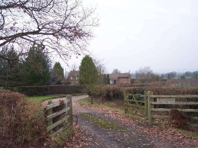
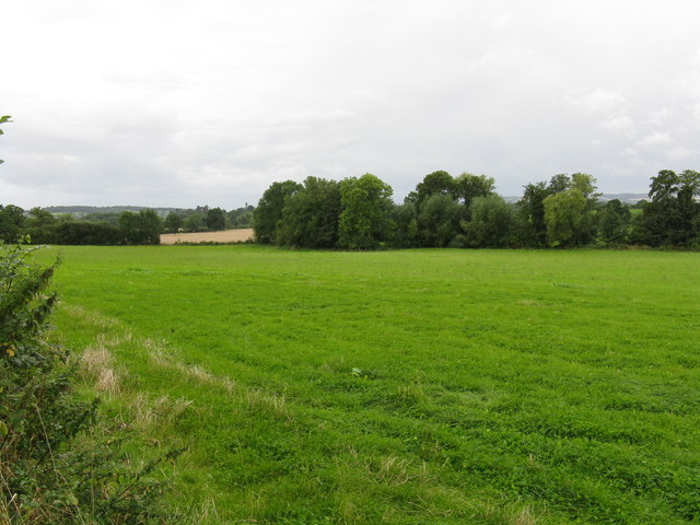
Bishplow Coppice is a picturesque woodland located in Herefordshire, England. Situated near the village of Bishopton, the coppice covers an area of approximately 50 acres. The woodland is characterized by its diverse ecosystem, consisting of a variety of tree species and an abundance of wildlife.

The dominant tree species in Bishplow Coppice include oak, ash, and beech, which provide a dense canopy cover, creating a cool and shaded environment. The forest floor is covered with a rich carpet of wildflowers, ferns, and mosses, adding to the area's natural beauty.

The woodland is a haven for wildlife, attracting a range of bird species, including woodpeckers, owls, and various songbirds. Mammals such as badgers, foxes, and deer also inhabit the area. Bishplow Coppice is particularly renowned for its diverse insect population, which includes butterflies, bees, and beetles.

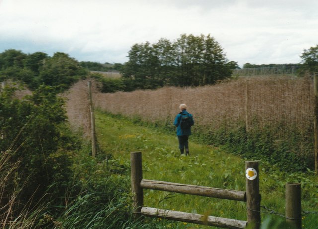
Visitors to Bishplow Coppice can enjoy a variety of recreational activities. There are well-maintained walking trails that meander through the woodland, providing an opportunity to immerse oneself in nature. The peaceful and tranquil atmosphere makes it an ideal place for nature enthusiasts, photographers, and those seeking a retreat from the hustle and bustle of everyday life.

The coppice also serves as an important educational resource, offering opportunities for schools and organizations to learn about woodland habitats, biodiversity, and conservation efforts. Regular guided tours and workshops are conducted to raise awareness and promote sustainable practices.

Overall, Bishplow Coppice is a cherished natural gem in Herefordshire, offering a sanctuary for wildlife, a place of recreation for visitors, and an educational hub for environmental awareness.

If you have any feedback on the listing, please let us know in the comments section below.

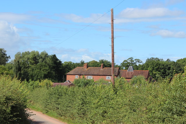
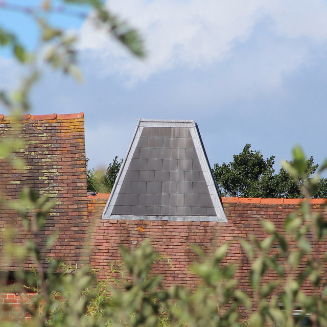
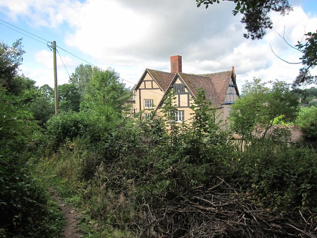
Bishplow Coppice Images

Images are sourced within 2km of 52.072252/-2.4171301 or Grid Reference SO7141. Thanks to Geograph Open Source API. All images are credited.

Sugarcroft Viewed from the east.
Sugarcroft
Viewed from the east.
Leadon Valley near Lower Southfield Trees mark the line of the river.
Leadon Valley near Lower Southfield
Trees mark the line of the river.
Aqueduct near Staplow Carrying the old Hereford and Gloucester canal above the River Leadon.
Aqueduct near Staplow
Carrying the old Hereford and Gloucester canal above the River Leadon.
Meadowland in the Leadon valley Meadowland in the Leadon valley to the south of Bosbury.
Meadowland in the Leadon valley
Meadowland in the Leadon valley to the south of Bosbury.
Farmland above the Leadon Valley View across Herefordshire farmland above the Leadon valley to the south of Bosbury.
Farmland above the Leadon Valley
View across Herefordshire farmland above the Leadon valley to the south of Bosbury.
Oast House at Prior's Court, Staplow Internal kiln oast house.
Oast House at Prior's Court, Staplow
Internal kiln oast house.
Kiln roof at Prior's Court Oast Internal kiln oast house.
Kiln roof at Prior's Court Oast
Internal kiln oast house.
Lane at Lower Southfield The footpath leads west from here to the Bromyard Road.
Lane at Lower Southfield
The footpath leads west from here to the Bromyard Road.
Footpath towards the Leadon The path from Lower Southfield, see <a href="https://www.geograph.org.uk/photo/4248244">SO6942 : Lane at Lower Southfield</a>, leads across the Leadon floodplain to emerge at the Bromyard road near <a href="https://www.geograph.org.uk/photo/4248197">SO6841 : Bromyard to Ledbury Road</a>.
Footpath towards the Leadon
The path from Lower Southfield, see SO6942 : Lane at Lower Southfield, leads across the Leadon floodplain to emerge at the Bromyard road near SO6841 : Bromyard to Ledbury Road.
Willowherb seed heads Gone with the pink flowers of summer; these plants can be seen in context in the left bottom corner of <a href="https://www.geograph.org.uk/photo/4248249">SO6942 : Footpath towards the Leadon</a>.
Willowherb seed heads
Gone with the pink flowers of summer; these plants can be seen in context in the left bottom corner of SO6942 : Footpath towards the Leadon.
Oak by a country lane Green turns to bronze.
Oak by a country lane
Green turns to bronze.
Farmland near Bosbury
Footpath to Bosbury Footpath across a stubble field to the village of Bosbury.
Footpath to Bosbury
Footpath across a stubble field to the village of Bosbury.
Footpath by Frith Barn
Footpath through Coddington Vineyard in 1999
Public footpath through hopyard near Coddington
Lower Lodge
Lower Lodge
Organ, All Saints' church, Coddington By John Nicholson of Worcester, single manual and pedal with 8 stops.
Organ, All Saints' church, Coddington
By John Nicholson of Worcester, single manual and pedal with 8 stops.
Show me another place!

Bishplow Coppice is located at Grid Ref: SO7141 (Lat: 52.072252, Lng: -2.4171301)

Unitary Authority: County of Herefordshire

Police Authority: West Mercia

What 3 Words

///apples.trending.causes. Near Ledbury, Herefordshire

Related Wikis

Hope End

Hope End is an area and former estate of Herefordshire, England, near the Malvern Hills, noted for its literary associations. As described by a 19th-century...

Coddington, Herefordshire

Coddington is a hamlet and civil parish in eastern Herefordshire, England, about 3 miles (4.8 km) north of Ledbury. The west side of the parish covers...

Wellington Heath

Wellington Heath is a small village and civil parish in Herefordshire, England, approximately 1.5 miles (2.4 km) north of Ledbury. The population was recorded...

Bosbury

Bosbury is a village and civil parish in Herefordshire, England, approximately 3.5 miles (5.6 km) north of Ledbury. The small River Leadon flows through...

Nearby Amenities

Located within 500m of 52.072252,-2.4171301
Location Transition: yes
Power: pole
Lat/Long: 52.0734856/-2.4123533
Power: pole
Lat/Long: 52.0742077/-2.4124981
Power: pole
Lat/Long: 52.075046/-2.4128314
Raycomb Lane
Power: pole
Transformer: distribution
Voltage Primary: 11000
Lat/Long: 52.0707489/-2.4118397
The data included in this document is from www.openstreetmap.org. The data is made available under ODbL.

Have you been to Bishplow Coppice?

Leave your review of Bishplow Coppice below (or comments, questions and feedback).