Raven Hill Wood

Wood, Forest in Herefordshire

England

Raven Hill Wood

Polytunnels,  North of Ledbury Taken from the <a href="https://www.geograph.org.uk/photo/66558">SO6940 : Bridge over the River Leadon</a>.
Polytunnels, North of Ledbury Credit: Bob Embleton

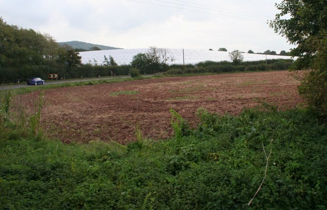
Raven Hill Wood is a picturesque woodland located in Herefordshire, a county in the West Midlands region of England. Sprawling across an area of approximately 100 acres, this enchanting forest is a haven for nature lovers and outdoor enthusiasts alike.

The wood is characterized by its diverse range of flora and fauna. Towering oak and beech trees dominate the landscape, creating a dense canopy that provides shelter and shade for a plethora of wildlife species. The forest floor is adorned with a rich tapestry of bluebells, wild garlic, and ferns, creating a vibrant and colorful display during the spring and summer months.

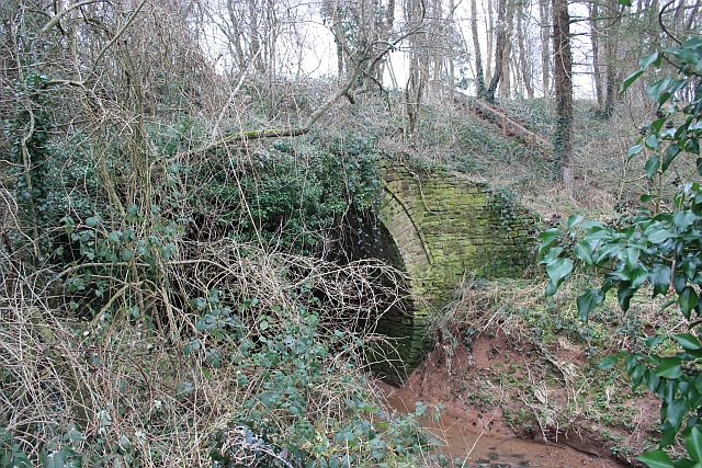
Several walking trails wind their way through Raven Hill Wood, allowing visitors to explore its natural beauty. These well-maintained paths offer a chance to observe the woodland's inhabitants, including deer, squirrels, and a variety of bird species. The peaceful atmosphere and tranquil surroundings make it an ideal location for nature photography, birdwatching, or simply enjoying a leisurely stroll.

Raven Hill Wood is not only a haven for wildlife but also plays an important role in the local ecosystem. It acts as a natural carbon sink, helping to combat climate change by absorbing and storing significant amounts of carbon dioxide. Additionally, the wood provides a habitat for rare and endangered species, contributing to the conservation efforts in the area.

Overall, Raven Hill Wood is a captivating destination that showcases the beauty and ecological importance of woodlands. Its serene atmosphere and stunning scenery make it a must-visit location for anyone seeking solace in nature.

If you have any feedback on the listing, please let us know in the comments section below.

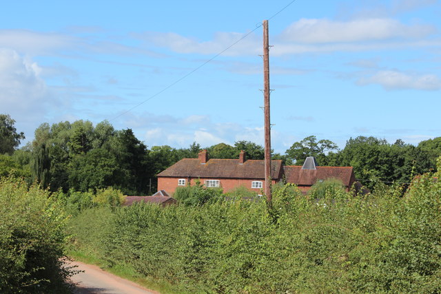
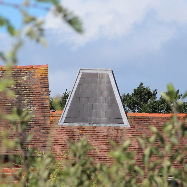
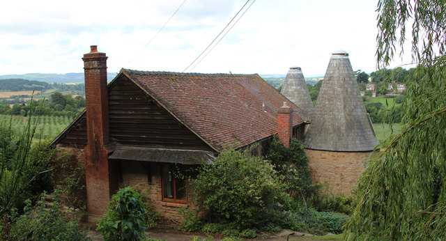
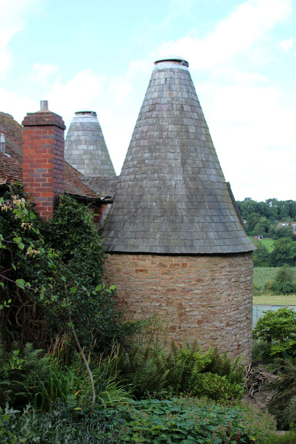
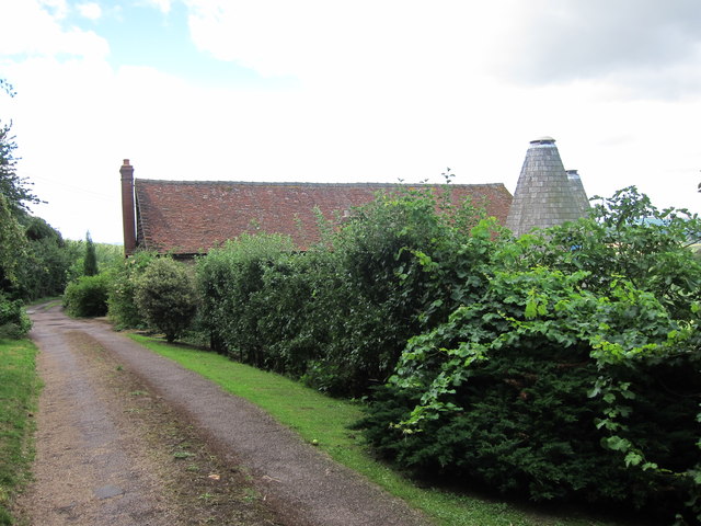
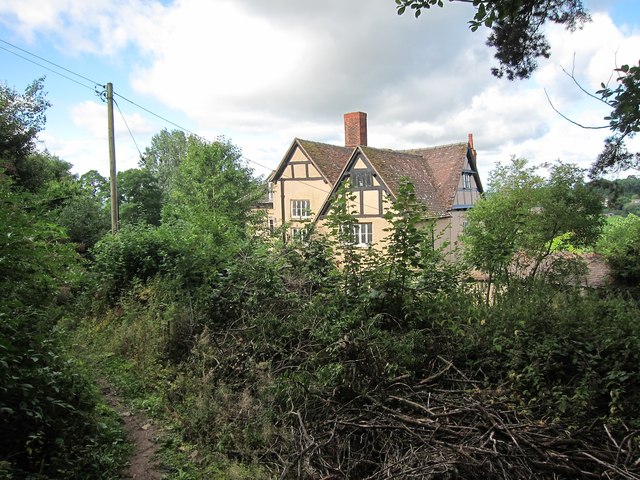
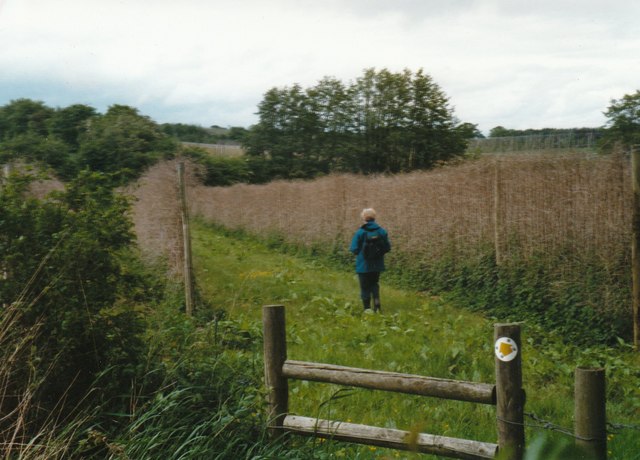
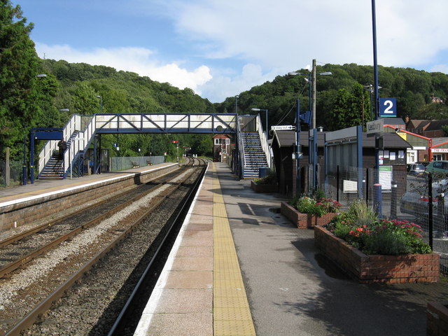
Raven Hill Wood Images

Images are sourced within 2km of 52.068638/-2.4170672 or Grid Reference SO7141. Thanks to Geograph Open Source API. All images are credited.

Polytunnels,  North of Ledbury Taken from the <a href="https://www.geograph.org.uk/photo/66558">SO6940 : Bridge over the River Leadon</a>.
Polytunnels, North of Ledbury
Aqueduct near Staplow Carrying the old Hereford and Gloucester canal above the River Leadon.
Aqueduct near Staplow
Carrying the old Hereford and Gloucester canal above the River Leadon.
Polytunnels near the road
Meadowland in the Leadon valley Meadowland in the Leadon valley to the south of Bosbury.
Meadowland in the Leadon valley
Meadowland in the Leadon valley to the south of Bosbury.
Oast House at Prior's Court, Staplow Internal kiln oast house.
Oast House at Prior's Court, Staplow
Internal kiln oast house.
Kiln roof at Prior's Court Oast Internal kiln oast house.
Kiln roof at Prior's Court Oast
Internal kiln oast house.
Lane at Lower Southfield The footpath leads west from here to the Bromyard Road.
Lane at Lower Southfield
The footpath leads west from here to the Bromyard Road.
Footpath towards the Leadon The path from Lower Southfield, see <a href="https://www.geograph.org.uk/photo/4248244">SO6942 : Lane at Lower Southfield</a>, leads across the Leadon floodplain to emerge at the Bromyard road near <a href="https://www.geograph.org.uk/photo/4248197">SO6841 : Bromyard to Ledbury Road</a>.
Footpath towards the Leadon
The path from Lower Southfield, see SO6942 : Lane at Lower Southfield, leads across the Leadon floodplain to emerge at the Bromyard road near SO6841 : Bromyard to Ledbury Road.
Willowherb seed heads Gone with the pink flowers of summer; these plants can be seen in context in the left bottom corner of <a href="https://www.geograph.org.uk/photo/4248249">SO6942 : Footpath towards the Leadon</a>.
Willowherb seed heads
Gone with the pink flowers of summer; these plants can be seen in context in the left bottom corner of SO6942 : Footpath towards the Leadon.
Farmland near Bosbury
Kiln Cottage, Frith Wood Two round kiln oast house. Known as Kiln Cottage
Kiln Cottage, Frith Wood
Two round kiln oast house. Known as Kiln Cottage
Kiln Cottage, Frith Wood Two round kiln oast house. Known as Kiln Cottage
Kiln Cottage, Frith Wood
Two round kiln oast house. Known as Kiln Cottage
Kiln Cottage, Frith Wood Two round kiln oast house. Known as Kiln Cottage
Kiln Cottage, Frith Wood
Two round kiln oast house. Known as Kiln Cottage
Kiln Cottage, Frith Wood Two round kiln oast house. Known as Kiln Cottage
Kiln Cottage, Frith Wood
Two round kiln oast house. Known as Kiln Cottage
Footpath by Frith Barn
Frith Wood in the freezing fog The ridge north of Ledbury standing proud of the sea of fog.
Viewed from the Malvern Hills.
Frith Wood in the freezing fog
The ridge north of Ledbury standing proud of the sea of fog. Viewed from the Malvern Hills.
Footpath through Coddington Vineyard in 1999
Public footpath through hopyard near Coddington
Show me another place!

Raven Hill Wood is located at Grid Ref: SO7141 (Lat: 52.068638, Lng: -2.4170672)

Unitary Authority: County of Herefordshire

Police Authority: West Mercia

What 3 Words

///adjusting.dabbling.destined. Near Ledbury, Herefordshire

Related Wikis

Hope End

Hope End is an area and former estate of Herefordshire, England, near the Malvern Hills, noted for its literary associations. As described by a 19th-century...

Wellington Heath

Wellington Heath is a small village and civil parish in Herefordshire, England, approximately 1.5 miles (2.4 km) north of Ledbury. The population was recorded...

Coddington, Herefordshire

Coddington is a hamlet and civil parish in eastern Herefordshire, England, about 3 miles (4.8 km) north of Ledbury. The west side of the parish covers...

Herefordshire and Gloucestershire Canal

The Herefordshire and Gloucestershire Canal (sometimes known as the Hereford and Gloucester Canal) is a canal in the west of England, which ran from Hereford...

Ledbury Tunnel

Ledbury Tunnel is a single-track railway tunnel immediately to the east of Ledbury railway station on the Cotswold Line, in Herefordshire, England. The...

Ledbury Signal Box

Ledbury Signal Box is a typical Great Western Railway traditional lever frame signal box which remains in daily use at Ledbury Station, Herefordshire,...

Ledbury railway station

Ledbury railway station is located on the outskirts of the town of Ledbury, on the Worcester to Hereford line in the English Midlands. It has regular services...

Hereford Road Skew Bridge

Hereford Road Skew Bridge is a disused railway bridge in Ledbury, Herefordshire. Built in 1881 to carry the Ledbury and Gloucester Railway across the Hereford...

Nearby Amenities

Located within 500m of 52.068638,-2.4170672
Bus Stop
The Swallow
Bus: yes
Naptan AtcoCode: 2090A0106134
Naptan Bearing: E
Naptan CommonName: The Swallow
Naptan Indicator: opp
Naptan NaptanCode: heratgmg
Naptan Street: Church Lane
Naptan Verified: no
Public Transport: platform
Source: naptan_import
Lat/Long: 52.0645565/-2.419055
Bus Stop
The Swallow
Bus: yes
Naptan AtcoCode: 2090A0106136
Naptan Bearing: W
Naptan BusStopType: CUS
Naptan CommonName: The Swallow
Naptan Indicator: adj
Naptan NaptanCode: heratgmj
Naptan Street: Church Lane
Naptan Verified: no
Public Transport: platform
Source: naptan_import
Lat/Long: 52.0645117/-2.4190077
Bus Stop
Loxter
Bus: yes
Naptan AtcoCode: 2090A0106148
Naptan Bearing: NE
Naptan CommonName: Loxter
Naptan Indicator: adj Raycombe Lane
Naptan NaptanCode: heratgp
Naptan Street: Church Lane
Naptan Verified: no
Public Transport: platform
Source: naptan_import
Lat/Long: 52.0658279/-2.415844
Loxter
Naptan AtcoCode: 2090A071200
Naptan Bearing: SW
Naptan BusStopType: CUS
Naptan CommonName: Loxter
Naptan Indicator: opp Raycombe Lane
Naptan NaptanCode: heradgtm
Naptan Street: Church Lane
Naptan Verified: no
Source: naptan_import
Lat/Long: 52.0656663/-2.415755
Bench
Lat/Long: 52.0645203/-2.4192976
Barrier: stile
Source: survey
Lat/Long: 52.0642733/-2.4179193
Barrier: stile
Source: survey
Lat/Long: 52.0644752/-2.4178342
Loxter
Power: pole
Transformer: distribution
Voltage Primary: 11000
Lat/Long: 52.0656754/-2.414939
Power: pole
Lat/Long: 52.0652253/-2.4149711
Power: pole
Lat/Long: 52.0648254/-2.4149953
Raycomb Lane
Power: pole
Transformer: distribution
Voltage Primary: 11000
Lat/Long: 52.0707489/-2.4118397
The data included in this document is from www.openstreetmap.org. The data is made available under ODbL.

Have you been to Raven Hill Wood?

Leave your review of Raven Hill Wood below (or comments, questions and feedback).