Waterfoot
Settlement in Lancashire Rossendale
England
Waterfoot
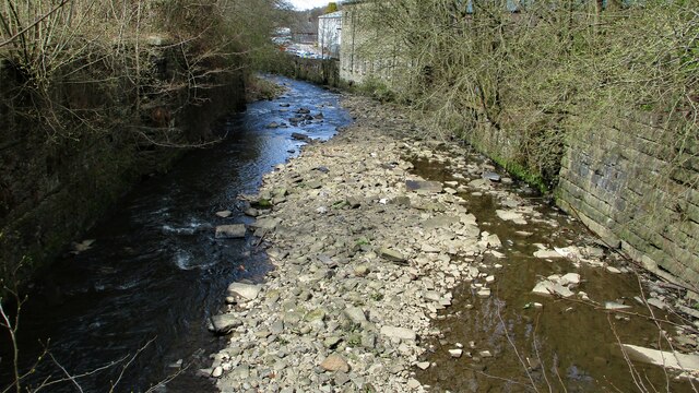
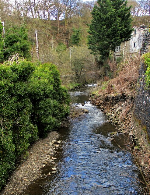
Waterfoot is a small town located in the Rossendale district of Lancashire, England. Situated in the South Pennines, it lies along the banks of the River Irwell, approximately six miles north of the larger town of Bury. The town is part of the larger Rossendale Valley, which is surrounded by picturesque hills and countryside.
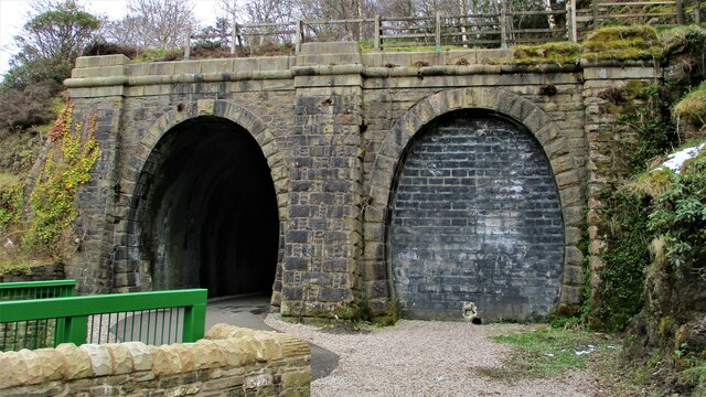
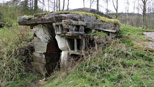
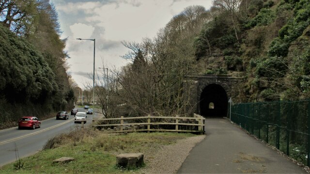
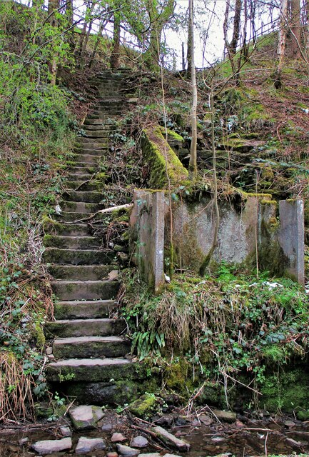
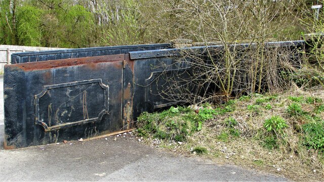
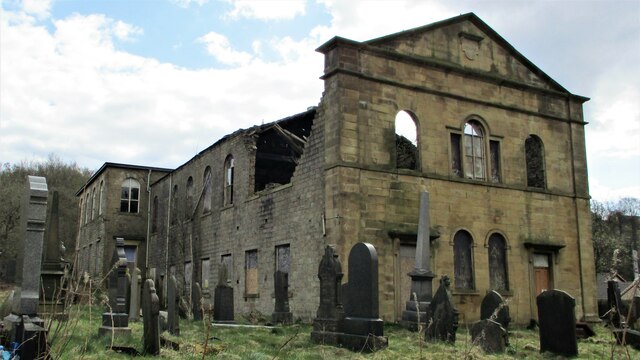
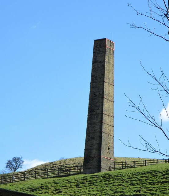
Waterfoot has a rich industrial heritage, dating back to the 19th century when it was primarily a cotton mill town. The remnants of several former mills can still be seen in the town, serving as a reminder of its industrial past. These days, the town has diversified its economy, with a range of small businesses, shops, and services catering to the needs of the local community.
The town boasts a close-knit community, with a population of around 4,500 people. It offers a range of amenities, including schools, churches, and recreational facilities such as parks and sports clubs. The town is well-connected, with regular bus services linking it to nearby towns and cities, making it an ideal commuter location.
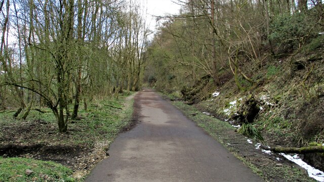
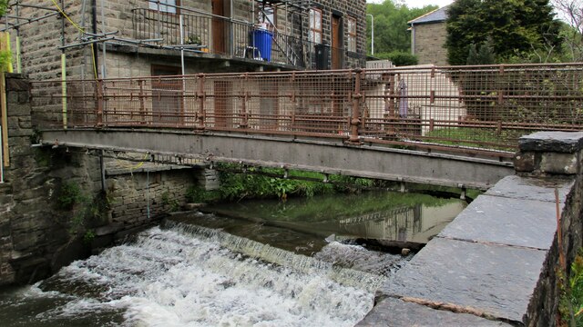
Waterfoot is also known for its natural beauty, with the River Irwell providing opportunities for scenic walks and fishing. The surrounding countryside offers numerous hiking trails, attracting outdoor enthusiasts and nature lovers.
Overall, Waterfoot is a charming town that combines its industrial past with natural beauty, making it an attractive place to live or visit for those seeking a peaceful and picturesque setting in Lancashire.
If you have any feedback on the listing, please let us know in the comments section below.
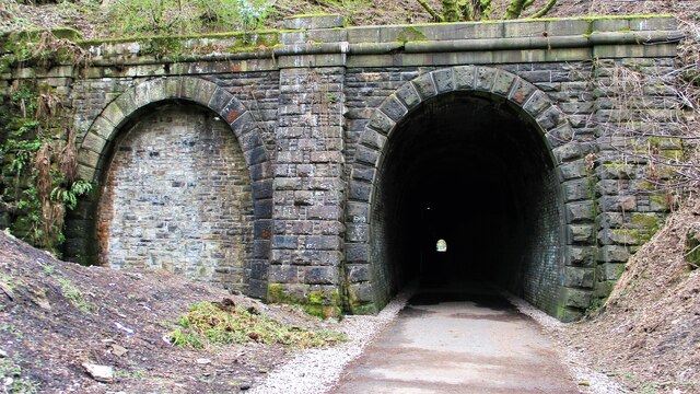
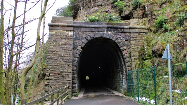
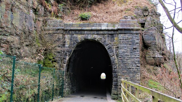
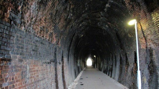
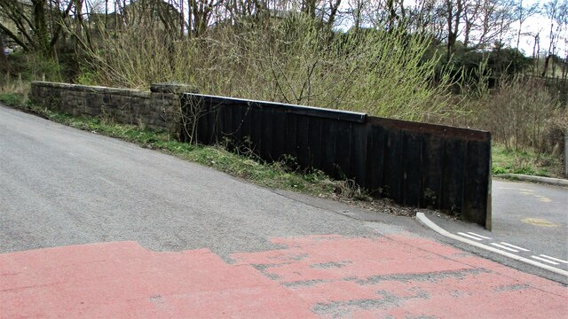
Waterfoot Images
Images are sourced within 2km of 53.693484/-2.2528246 or Grid Reference SD8321. Thanks to Geograph Open Source API. All images are credited.

Waterfoot is located at Grid Ref: SD8321 (Lat: 53.693484, Lng: -2.2528246)
Administrative County: Lancashire
District: Rossendale
Police Authority: Lancashire
What 3 Words
///logo.hello.race. Near Rossendale, Lancashire
Nearby Locations
Related Wikis

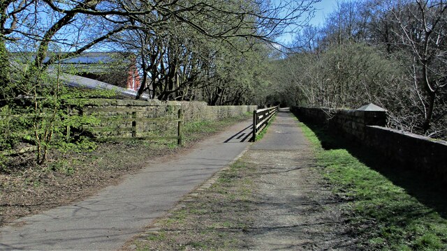
Waterfoot railway station
Waterfoot railway station served Waterfoot, Rossendale near Rawtenstall, Lancashire, England from 1848 until the line closed in 1966. == History == The...
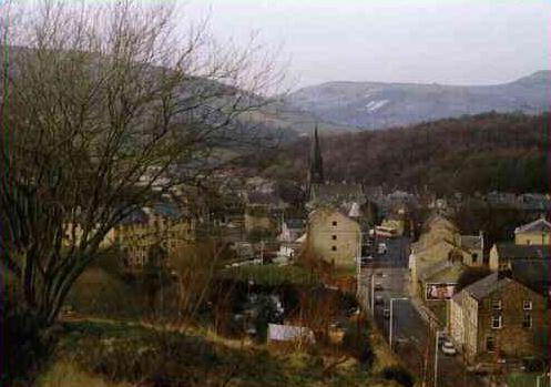
Waterfoot, Lancashire
Waterfoot is a historic mill town and civil parish in the Borough of Rossendale between Rawtenstall and Bacup in Lancashire, England. The B6238 road from...
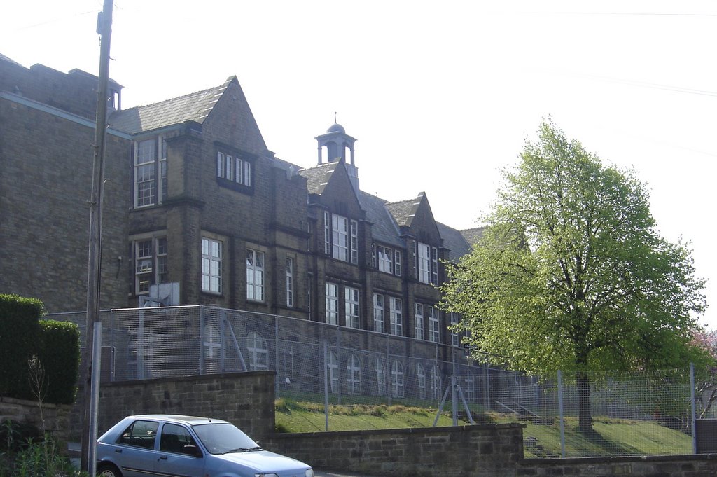
Bacup and Rawtenstall Grammar School
Bacup and Rawtenstall Grammar School (BRGS) is a selective co-educational academy grammar school in Waterfoot, Rossendale, Lancashire, England. The school...
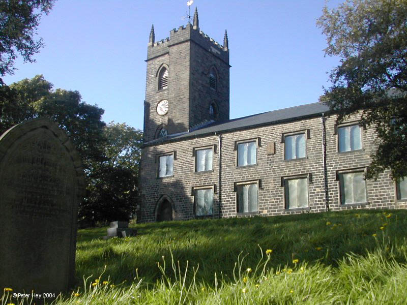
St Nicholas Church, Newchurch
St Nicholas Church in Newchurch, Lancashire, England, is an active Anglican parish church in the diocese of Manchester, founded in the early 16th century...
Nearby Amenities
Located within 500m of 53.693484,-2.2528246Have you been to Waterfoot?
Leave your review of Waterfoot below (or comments, questions and feedback).