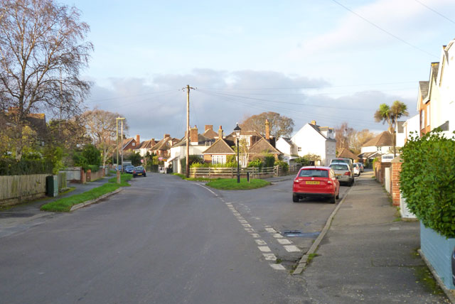
Waterford
Settlement in Hampshire New Forest
England
Waterford
Waterford is a charming village located in Hampshire, England. Situated in the picturesque countryside, it is surrounded by lush green fields and rolling hills, offering breathtaking natural beauty. The village is part of the Test Valley district and lies approximately 6 miles north of the historic town of Stockbridge.
Waterford is a small community with a population of around 500 residents. It is known for its tight-knit community spirit and friendly atmosphere. The village is home to a mix of traditional thatched cottages and modern houses, adding to its unique character.
Despite its small size, Waterford offers a range of amenities for its residents. There is a local pub, The Waterford Arms, where locals and visitors can enjoy a pint of ale or a delicious meal. The village also has a village hall that hosts various events and community gatherings throughout the year.
Nature enthusiasts will appreciate the village's proximity to stunning countryside walks and nature trails. The area is known for its scenic beauty, with the nearby Test Way providing ample opportunities for outdoor activities such as hiking and cycling.
Waterford's location also makes it a convenient base for exploring Hampshire's attractions. Just a short drive away, visitors can explore the historical sites of Stockbridge or enjoy outdoor activities in the nearby Test Valley or South Downs National Park.
Overall, Waterford is a peaceful and idyllic village, offering a tranquil escape from the hustle and bustle of city life. Its natural beauty, friendly community, and convenient location make it a desirable place to live or visit.
If you have any feedback on the listing, please let us know in the comments section below.
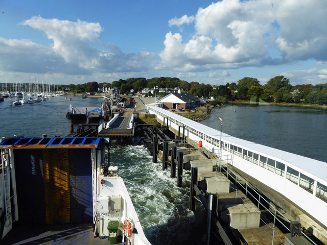
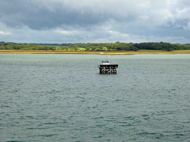
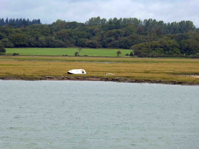
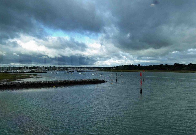
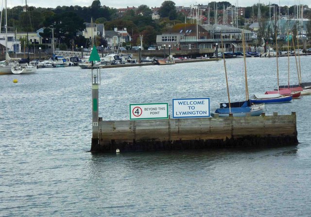
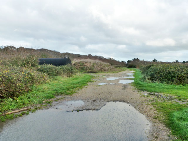
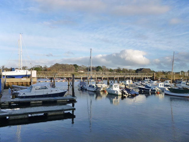
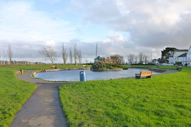
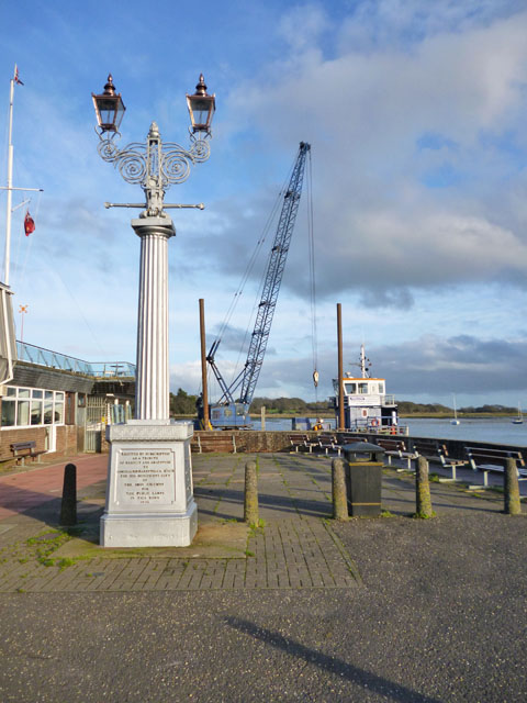
Waterford Images
Images are sourced within 2km of 50.752046/-1.52721 or Grid Reference SZ3394. Thanks to Geograph Open Source API. All images are credited.


Waterford is located at Grid Ref: SZ3394 (Lat: 50.752046, Lng: -1.52721)
Administrative County: Hampshire
District: New Forest
Police Authority: Hampshire
What 3 Words
///divorcing.overtones.line. Near Lymington, Hampshire
Nearby Locations
Related Wikis

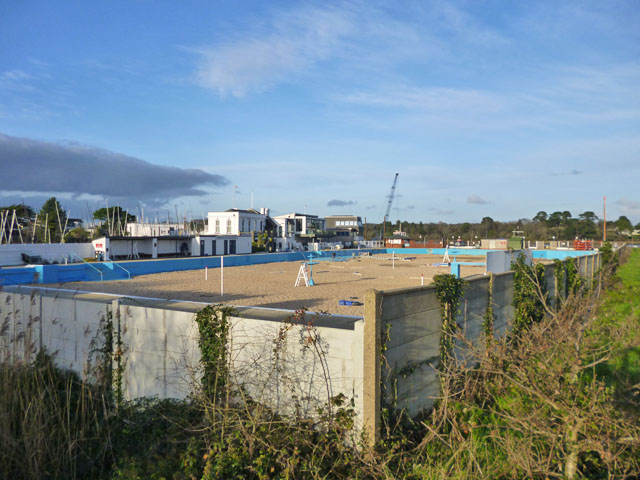
Lymington Open Air Sea Water Baths
The Lymington Open Air Sea Water Baths (or "historic Roman Seawater Baths") is a lifeguarded open air lido in Lymington, Hampshire, England. Built in 1833...

Lymington River
The Lymington River drains part of the New Forest in Hampshire in southern England. Numerous headwaters to the west of Lyndhurst give rise to the river...

Lymington Pier railway station
Lymington Pier railway station serves the harbour area of Lymington in Hampshire, England. It is 98 miles 15 chains (158.0 km) measured from London Waterloo...

Lymington power station
Lymington power station supplied electricity to the town of Lymington, Hampshire and the surrounding area from 1899 to 1959. The electricity generating...

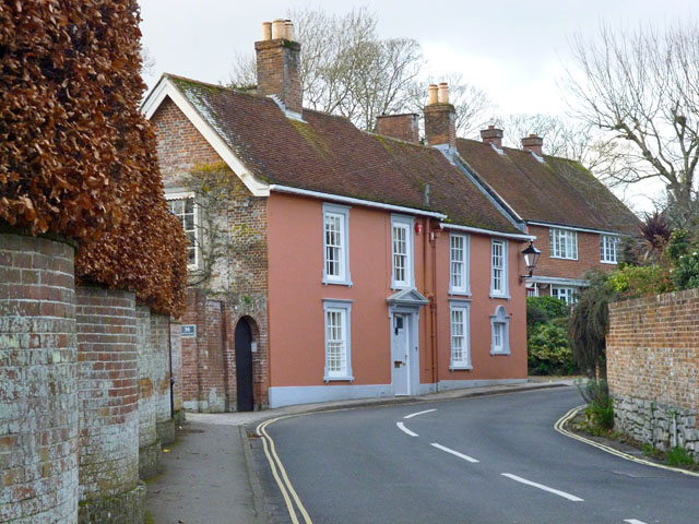
Walhampton
Walhampton is a hamlet in the New Forest National Park of Hampshire, England. It is in the civil parish of Boldre. It is approximately half a mile east...

Lymington Town railway station
Lymington Town railway station serves the town of Lymington in Hampshire, England. It is 97 miles 57 chains (157.3 km) down the line from London Waterloo...

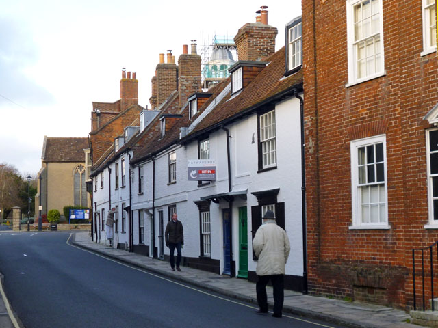
St Barbe Museum & Art Gallery
St Barbe Museum + Art Gallery is a local museum and art gallery in Lymington, Hampshire, England.Enclosed in the building is a small cafe called 'The Old...

Church of St Thomas the Apostle, Lymington
The Church of St Thomas the Apostle in Lymington in Hampshire, is the main Anglican Church of England parish church for the town. There has been a church...
Nearby Amenities
Located within 500m of 50.752046,-1.52721Have you been to Waterford?
Leave your review of Waterford below (or comments, questions and feedback).