Waterfoot

Settlement in Cumberland Eden

England

Waterfoot

Ullswater Boats
Ullswater Boats Credit: Robert Struthers

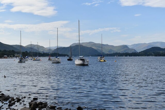
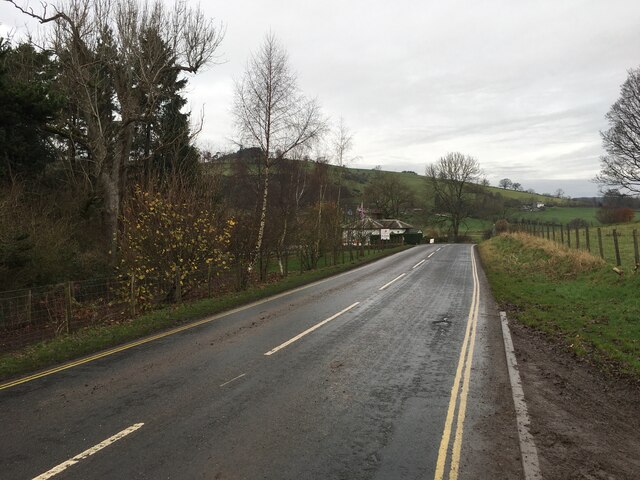
Waterfoot is a small village located in the county of Cumberland, in North West England. Situated on the eastern edge of the county, it lies within the picturesque landscape of the Eden Valley. The village is nestled at the foot of the Pennines, offering stunning views of the surrounding countryside.

Waterfoot is known for its tranquil atmosphere and close-knit community. With a population of around 500 residents, it maintains a peaceful and friendly environment. The village is predominantly residential, characterized by charming cottages and traditional stone buildings.

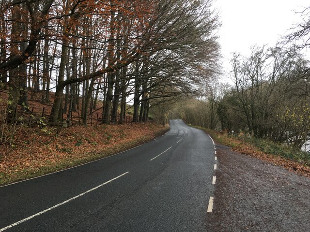
The village is well-connected to the larger towns and cities in the region. It is located just off the A66 road, which provides easy access to nearby towns such as Penrith and Carlisle. The M6 motorway is also within close proximity, allowing for convenient travel to other parts of the country.

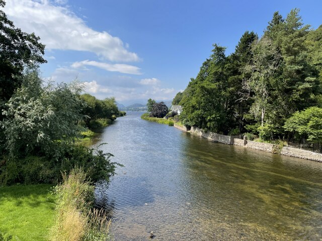
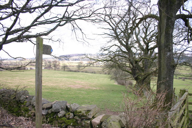
Despite its small size, Waterfoot offers a range of amenities to its residents. These include a primary school, a village hall, and a local pub. The village is also surrounded by nature, with opportunities for outdoor activities such as hiking, cycling, and fishing in the nearby River Eden.

Waterfoot is a popular destination for those seeking a peaceful and idyllic countryside lifestyle. The village's beautiful surroundings and friendly community make it an attractive place to live for both families and retirees.

If you have any feedback on the listing, please let us know in the comments section below.
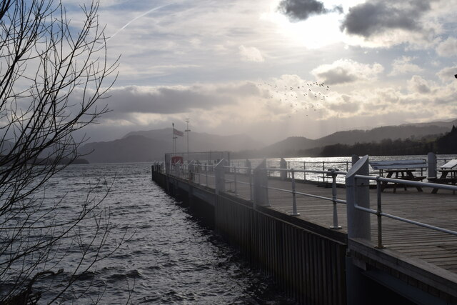
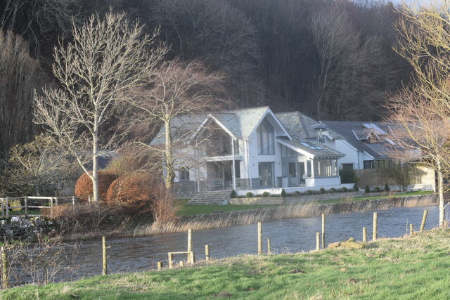
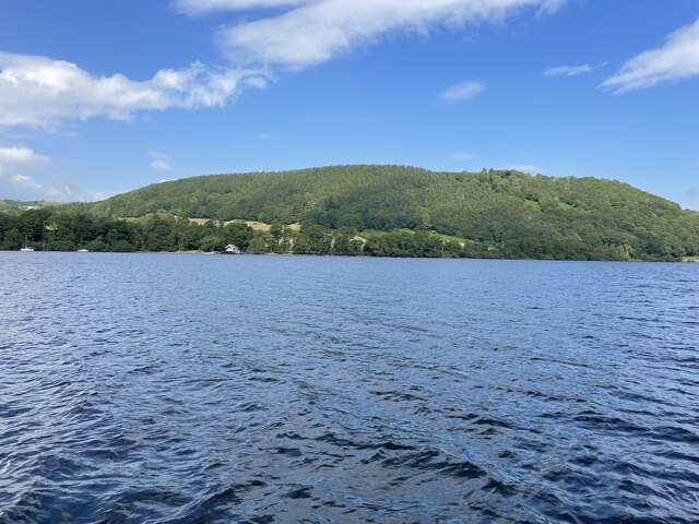
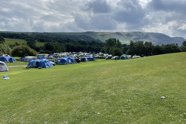
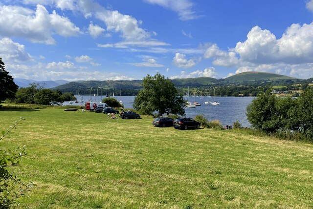
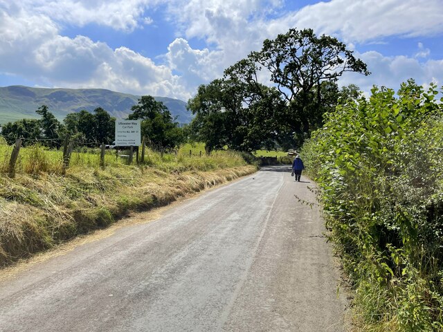
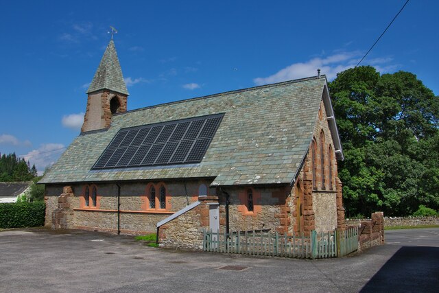
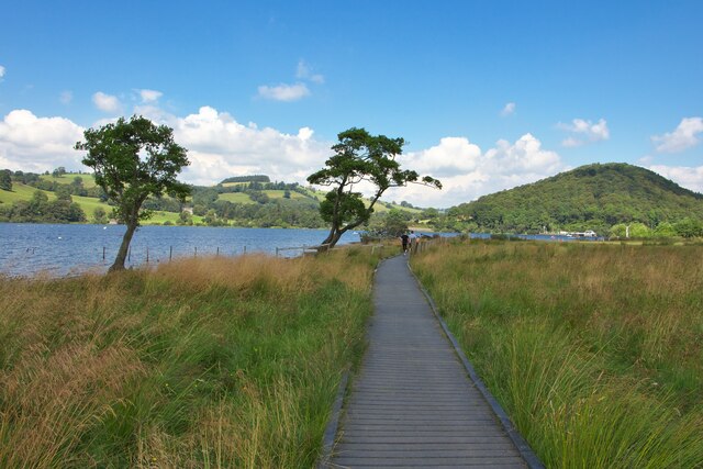
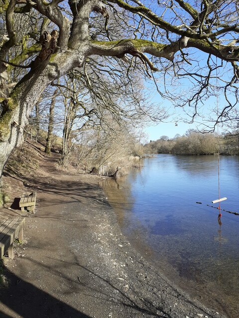
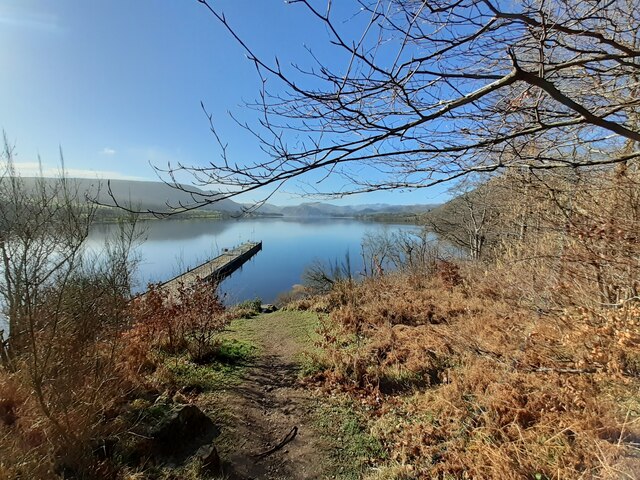
Waterfoot Images

Images are sourced within 2km of 54.614173/-2.829935 or Grid Reference NY4624. Thanks to Geograph Open Source API. All images are credited.

Ullswater Boats
Ullswater Boats
Plaque on the new Pooley Bridge
The underside of the new Pooley Bridge Looking downstream from the east (village) abutment. The restored village car park can be seen on the opposite bank.
The underside of the new Pooley Bridge
Looking downstream from the east (village) abutment. The restored village car park can be seen on the opposite bank.
OS Bench Mark OS cut bench mark from the 19th century levelling, on St Paul's Church. 495.5 feet above old datum. Weathered soft sandstone.
OS Bench Mark
OS cut bench mark from the 19th century levelling, on St Paul's Church. 495.5 feet above old datum. Weathered soft sandstone.
Landing stage at Pooley Bridge
Riverside houses. Pooley Bridge.
Riverside houses.
Pooley Bridge.
Ullswater shoreline. A short walk from Pooley Bridge.
Ullswater shoreline.
A short walk from Pooley Bridge.
Lakeside trees with Rumney's Plantation beyond
Waterside  House camp site Where the holiday spirit is in tents.
Waterside House camp site
Where the holiday spirit is in tents.
Parked up by the lakeside
Strolling down the lane to Howtown
View down the river Eamont into Ullswater
St Paul's church
St Paul's church
Boardwalk by Gale Bay
River Eamont, Pooley Bridge Taken from the footpath alongside the river
River Eamont, Pooley Bridge
Taken from the footpath alongside the river
Landing Stage, Pooley Bridge Looking out onto Ullswater
Landing Stage, Pooley Bridge
Looking out onto Ullswater
A592 towards Penrith
Show me another place!

Waterfoot is located at Grid Ref: NY4624 (Lat: 54.614173, Lng: -2.829935)

Administrative County: Cumbria

District: Eden

Police Authority: Cumbria

What 3 Words

///tequila.horses.tarnished. Near Penrith, Cumbria

Nearby Locations

Dunmallard Hill Waterfoot

Related Wikis

Dunmallet

Dunmallet or Dunmallard Hill is a small hill in the English Lake District, near Pooley Bridge, Cumbria. It is the subject of a chapter of Wainwright's...

Soulby, Dacre

Soulby is a hamlet in the civil parish of Dacre, near the villages of Dacre and Pooley Bridge and the A592 road, in the Eden district, in the English county...

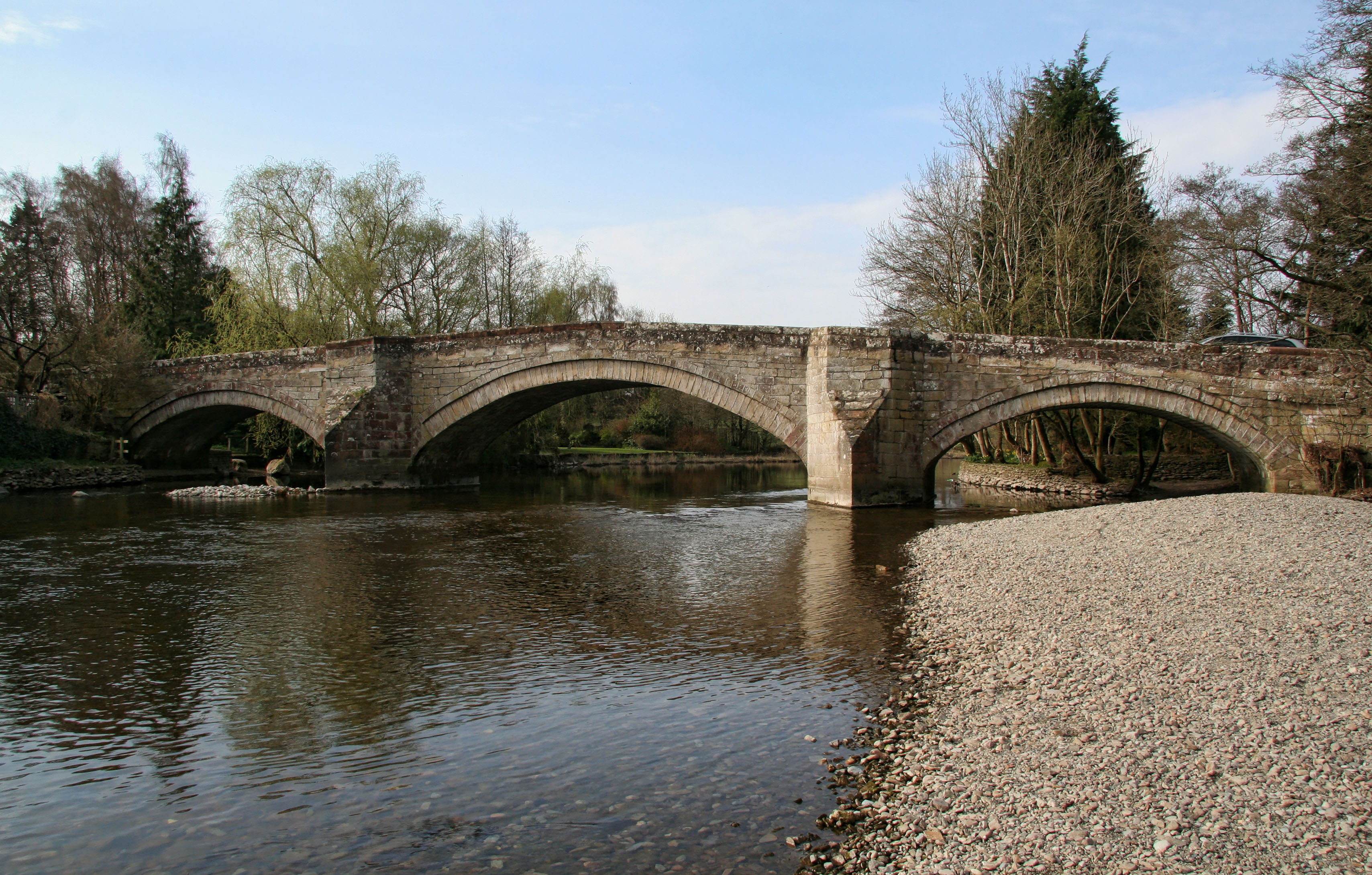
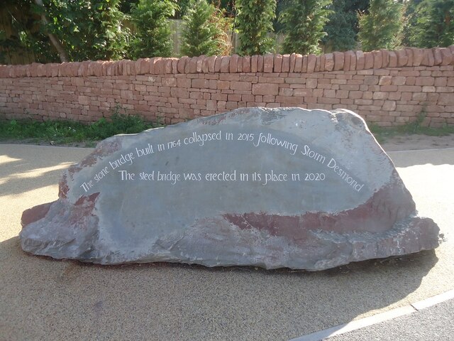
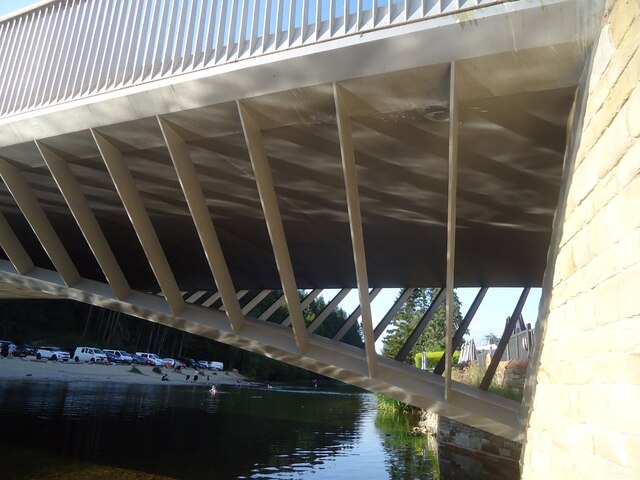
Pooley Bridge (structure)

Pooley Bridge was an historic stone road bridge that crossed the River Eamont in the village of Pooley Bridge near the northern end of Ullswater. It connected...

Pooley Bridge

Pooley Bridge is a village in the Eden District of the northwestern English county of Cumbria, within the traditional borders of Westmorland. The village...

Nearby Amenities

Located within 500m of 54.614173,-2.829935
Bus Stop
Steamer Pier
Naptan AtcoCode: 090074212945
Naptan Bearing: W
Naptan CommonName: Steamer Pier
Naptan Indicator: opp
Naptan Landmark: Steamer Pier
Naptan NaptanCode: cumdagtd
Naptan Street: A592
Naptan Verified: no
Source: naptan_import
Lat/Long: 54.6107721/-2.8264654
Barrier: stile
Lat/Long: 54.6112733/-2.8282859
Dunmallard Hill
Alt Name: Dunmallet
Ele: 240
Natural: peak
Source: https://www.hill-bagging.co.uk/mountaindetails.php?qu=S&rf=2357
Wikidata: Q5315484
Wikipedia: en:Dunmallet
Lat/Long: 54.6141235/-2.8255875
Traffic Signals
Traffic Signals Direction: forward
Lat/Long: 54.6123296/-2.8229694
Bicycle Parking
Bicycle Parking: wall_loops
Capacity: 5
Covered: no
Lat/Long: 54.6106958/-2.826817
Waterfoot Caravan Park Shop
Addr City: Pooley Bridge
Addr Postcode: CA11 0JF
Fhrs Id: 307083
Shop: convenience
Lat/Long: 54.6139322/-2.8311535
Toilets
Lat/Long: 54.6135736/-2.8334351
Access: private
Shop: laundry
Lat/Long: 54.6135186/-2.8334636
Drinking Water
Lat/Long: 54.6134489/-2.8334066
Recycling
Recycling Type: container
Lat/Long: 54.6134672/-2.8334794
Bar
Mansion Bar
Access: private
Operator: Waterfoot Park
Lat/Long: 54.6134727/-2.836815
Lake View Self Catering
Addr City: Pooley Bridge
Addr Postcode: CA11 0JF
Operator: Waterfoot Park
Tourism: chalet
Website: https://www.waterfootpark.co.uk/self-catering/list/
Lat/Long: 54.6133516/-2.8371983
Mini Roundabout
Lat/Long: 54.6115782/-2.8312409
Tourism: viewpoint
Lat/Long: 54.6109882/-2.8267439
Life Ring
Emergency: life_ring
Lat/Long: 54.6103483/-2.8271232
Information: map
Map Type: toposcope
Tourism: information
Lat/Long: 54.6106356/-2.8268686
Ullswater Way
Hiking: yes
Information: map
Map Size: region
Tourism: information
Lat/Long: 54.6106581/-2.8268696
Bench
Backrest: yes
Lat/Long: 54.6106047/-2.8268716
Bench
Backrest: yes
Lat/Long: 54.6105167/-2.8269839
Pooley Bridge pier webcam
Camera Type: fixed
Contact Webcam: https://g0.ipcamlive.com/player/player.php?alias=61b1f0e99c7ed&autoplay=1
Man Made: surveillance
Operator: Ullswater Steamers
Surveillance: public
Surveillance Type: camera
Website: https://www.ullswater-steamers.co.uk/webcam
Lat/Long: 54.6107594/-2.8266688
Leisure: outdoor_seating
Lat/Long: 54.6107035/-2.8267445
Pooley Bridge and Storm Desmond
Board Type: history
Image: https://www.geograph.org.uk/photo/6325290
Information: board
Tourism: information
Lat/Long: 54.6115534/-2.8315564
Power: pole
Lat/Long: 54.6171203/-2.8248435
Power: pole
Lat/Long: 54.6167646/-2.826477
Power: pole
Lat/Long: 54.6164307/-2.8280059
Power: pole
Lat/Long: 54.6160618/-2.8297091
Tourism: viewpoint
Lat/Long: 54.6107614/-2.8259057
Bench
Lat/Long: 54.6108045/-2.8258118
Access: yes
Archaeological Site: settlement
Historic: archaeological_site
Historic Civilization: iron-age
Lat/Long: 54.6137564/-2.8254299
Power: pole
Lat/Long: 54.6162607/-2.8313578
Power: pole
Lat/Long: 54.6164554/-2.8330592
Power: pole
Lat/Long: 54.6166489/-2.8347504
Power: pole
Lat/Long: 54.6157959/-2.8324906
Power: pole
Lat/Long: 54.614905/-2.8317228
Power: pole
Lat/Long: 54.6141118/-2.8311077
The data included in this document is from www.openstreetmap.org. The data is made available under ODbL.

Have you been to Waterfoot?

Leave your review of Waterfoot below (or comments, questions and feedback).