Hugh Mill
Settlement in Lancashire Rossendale
England
Hugh Mill
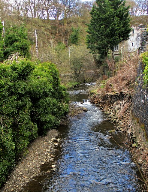
Hugh Mill is a small village located in the county of Lancashire, England. Situated in the picturesque countryside, the village is known for its tranquility and natural beauty. It lies about 7 miles northeast of the town of Burnley and is surrounded by rolling hills and fields.
The history of Hugh Mill dates back centuries, with evidence of human habitation in the area since at least the medieval period. The village was primarily an agricultural community, with farming being the main occupation of its inhabitants. Today, however, the village has seen a shift towards a more residential focus, with many of its residents commuting to nearby towns and cities for employment.
The village itself is characterized by its charming stone cottages and traditional architecture. It has a small number of amenities, including a local pub and a village hall that serves as a community gathering space for various events and activities. The village also has a primary school, providing education for the local children.
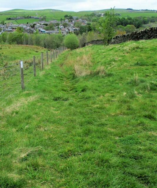
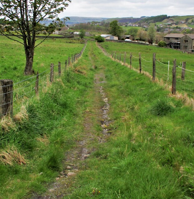
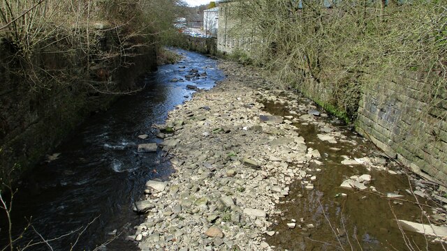
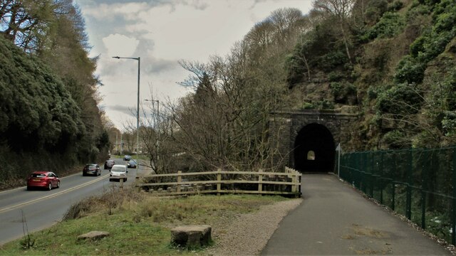
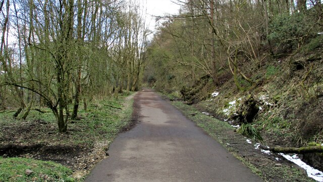
Nature lovers are drawn to Hugh Mill for its beautiful surroundings, offering opportunities for walking, hiking, and exploring the nearby countryside. The village is also within a short distance of several nature reserves and parks, making it an ideal base for outdoor enthusiasts.
Overall, Hugh Mill offers a peaceful and idyllic setting for those seeking a quiet countryside lifestyle, while still being within reach of urban conveniences. Its rich history and natural beauty make it a charming destination for both residents and visitors alike.
If you have any feedback on the listing, please let us know in the comments section below.
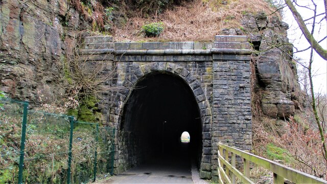
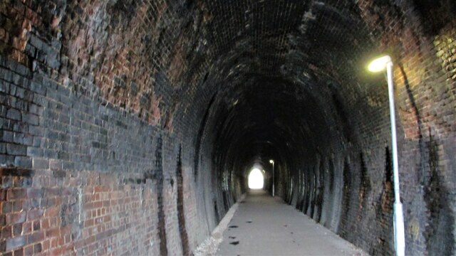
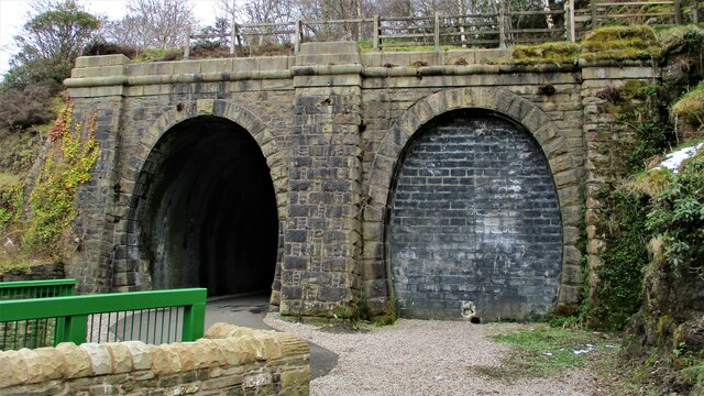
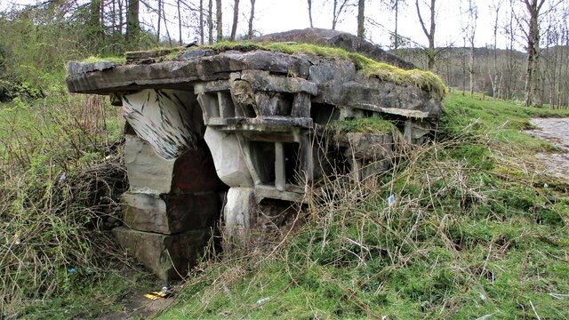
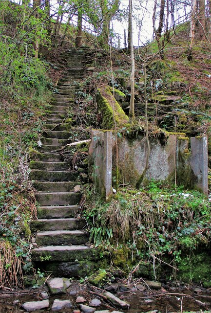
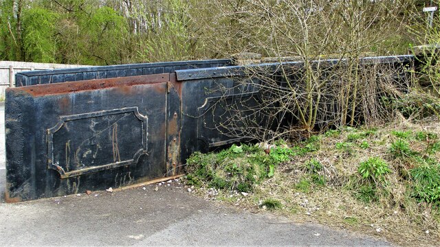
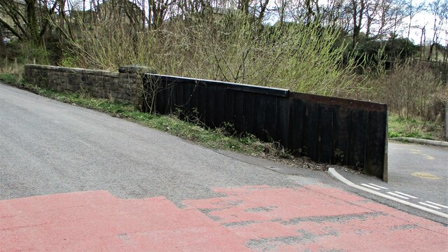
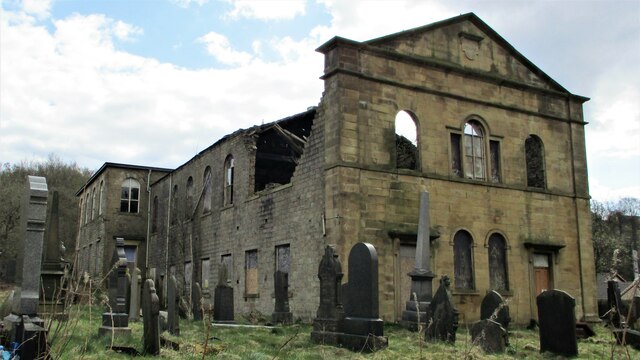
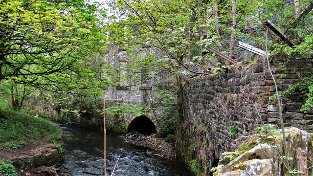
Hugh Mill Images
Images are sourced within 2km of 53.689866/-2.249072 or Grid Reference SD8321. Thanks to Geograph Open Source API. All images are credited.

Hugh Mill is located at Grid Ref: SD8321 (Lat: 53.689866, Lng: -2.249072)
Administrative County: Lancashire
District: Rossendale
Police Authority: Lancashire
What 3 Words
///remotest.ideal.shade. Near Rossendale, Lancashire
Nearby Locations
Related Wikis
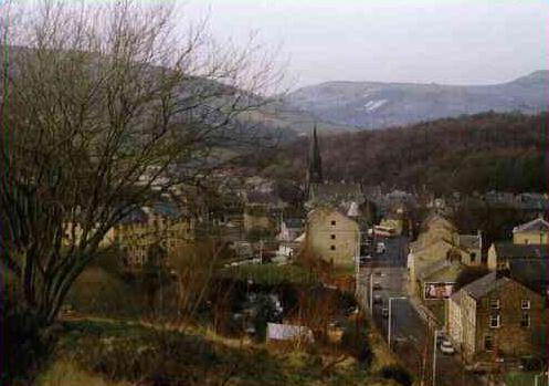
Waterfoot, Lancashire
Waterfoot is a historic mill town and civil parish in the Borough of Rossendale between Rawtenstall and Bacup in Lancashire, England. The B6238 road from...

Waterfoot railway station
Waterfoot railway station served Waterfoot, Rossendale near Rawtenstall, Lancashire, England from 1848 until the line closed in 1966. == History == The...
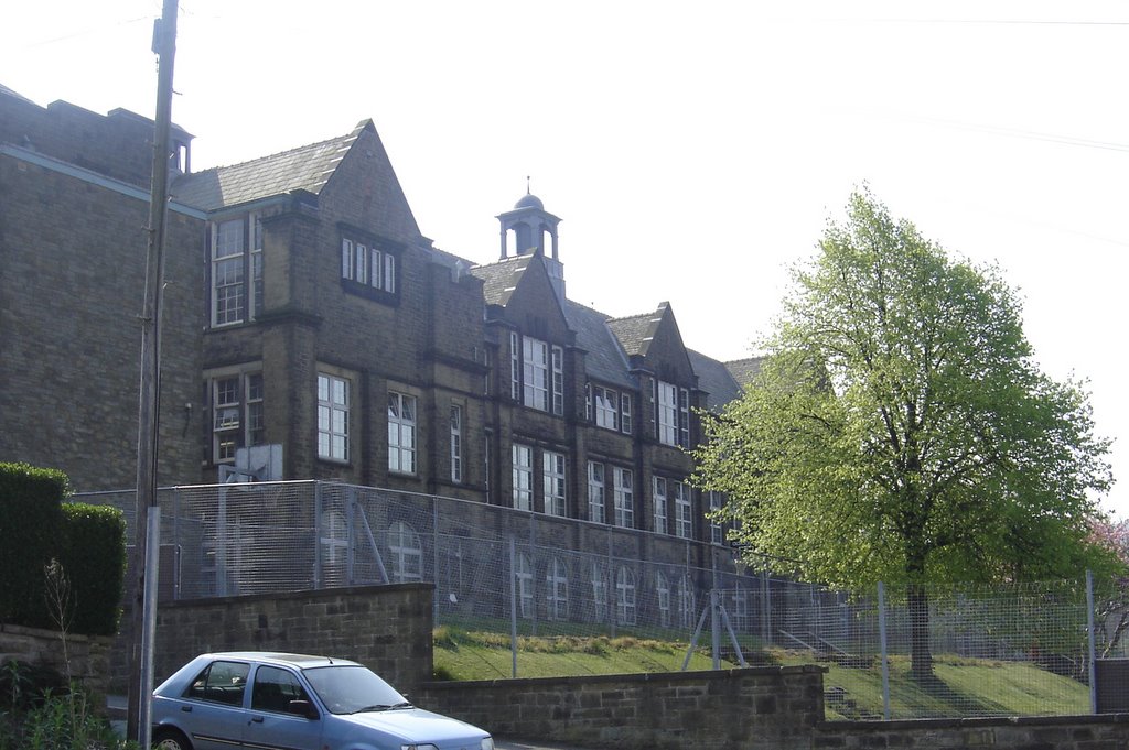
Bacup and Rawtenstall Grammar School
Bacup and Rawtenstall Grammar School (BRGS) is a selective co-educational academy grammar school in Waterfoot, Rossendale, Lancashire, England. The school...

Borough of Rossendale
Rossendale () is a local government district with borough status in Lancashire, England. Its council is based in Bacup and its largest town is Rawtenstall...
Nearby Amenities
Located within 500m of 53.689866,-2.249072Have you been to Hugh Mill?
Leave your review of Hugh Mill below (or comments, questions and feedback).