Hugglescote
Settlement in Leicestershire North West Leicestershire
England
Hugglescote

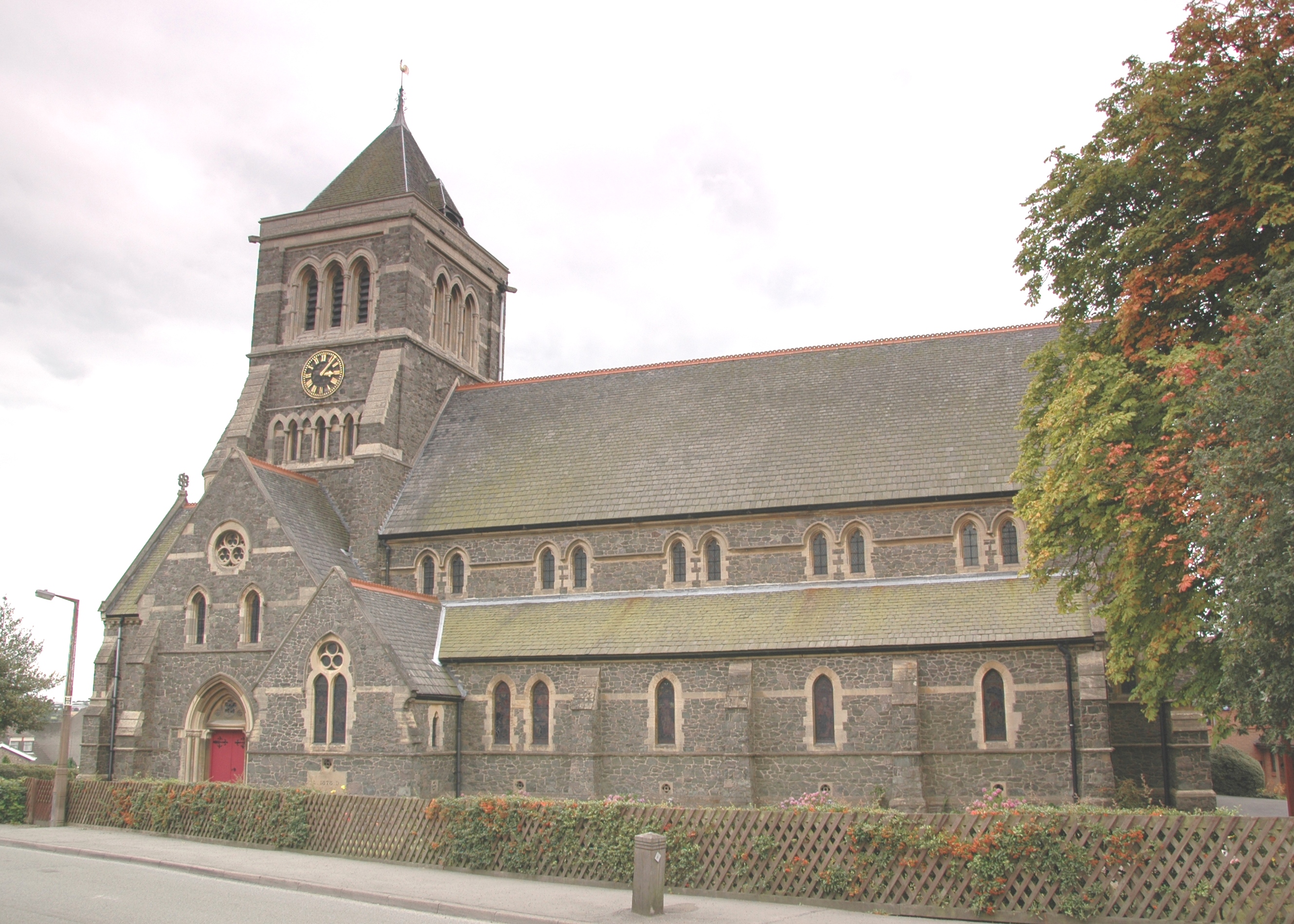
Hugglescote is a small village located in Leicestershire, England. Situated approximately 2 miles north of Coalville, it is part of the North West Leicestershire district. The village is surrounded by picturesque countryside, offering a tranquil and rural atmosphere.
Hugglescote has a rich history dating back to the 11th century. The village is mentioned in the Domesday Book, a survey of England completed in 1086. It has evolved over the years and now consists of a mix of old and new buildings, reflecting its historical significance and modern development.
The village is well-served by amenities, including a primary school, a post office, a convenience store, and several local shops and businesses. Hugglescote also has a community center that hosts various events and activities for residents.
For outdoor enthusiasts, Hugglescote offers opportunities for leisurely walks and exploration of the surrounding countryside. The nearby Snibston Country Park, once a coal mining site, now provides a range of recreational facilities and is popular with locals and visitors alike.
Transport links in Hugglescote are convenient, with regular bus services connecting the village to nearby towns and cities. The village is also within easy reach of major road networks, including the A511 and M1 motorway, facilitating travel to Leicester, Nottingham, and other nearby destinations.
Overall, Hugglescote is a charming village with a strong sense of community, offering a peaceful and idyllic setting for its residents.
If you have any feedback on the listing, please let us know in the comments section below.
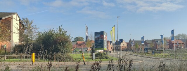
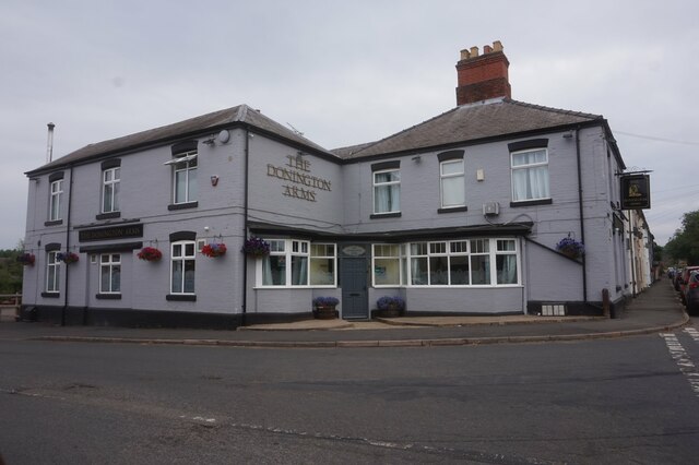
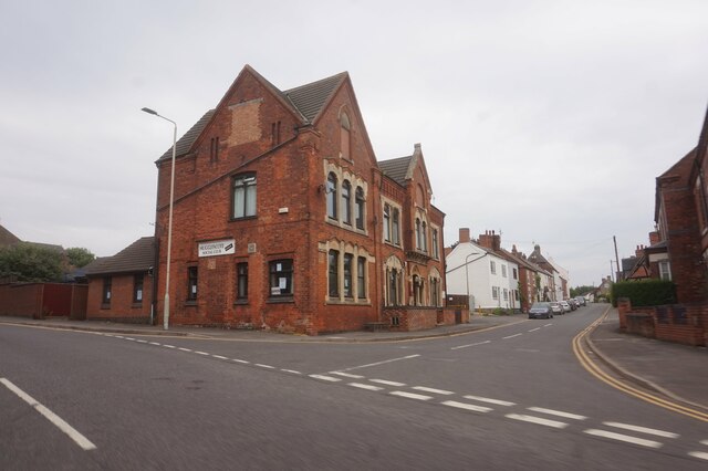
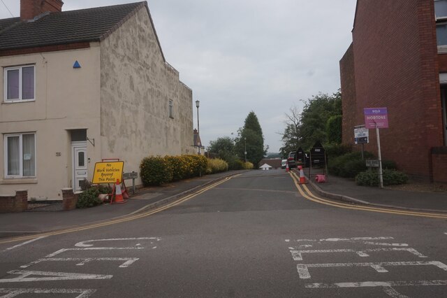
Hugglescote Images
Images are sourced within 2km of 52.708912/-1.369427 or Grid Reference SK4212. Thanks to Geograph Open Source API. All images are credited.


Hugglescote is located at Grid Ref: SK4212 (Lat: 52.708912, Lng: -1.369427)
Administrative County: Leicestershire
District: North West Leicestershire
Police Authority: Leicestershire
What 3 Words
///hoot.cute.flood. Near Coalville, Leicestershire
Nearby Locations
Related Wikis
Hugglescote
Hugglescote is a village on the River Sence in North West Leicestershire, England. The village is about 1 mile (1.6 km) south of the centre of Coalville...

Hugglescote and Donington le Heath
Hugglescote and Donington le Heath is a civil parish in North West Leicestershire, England. It includes the villages of Hugglescote and Donington le Heath...

Hugglescote railway station
Hugglescote railway station is a disused railway station on the former Ashby and Nuneaton Joint Railway. It served the large village of Hugglescote where...

Donington le Heath
Donington le Heath is a village on the River Sence just over 1 mile (1.6 km) south of the centre of Coalville in North West Leicestershire. Donington is...
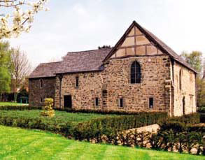
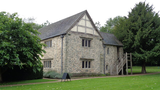
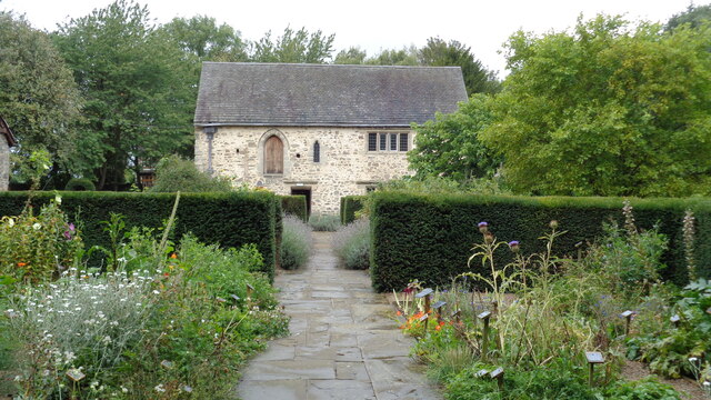
Donington le Heath Manor House Museum
Donington le Heath Manor House Museum, now 'The 1620s House and Garden at Donington le Heath' is a surviving example of a manor house built over seven...

North West Leicestershire
North West Leicestershire is a local government district in Leicestershire, England. The council is based in Coalville, the area's largest town. The district...
Ellistown
Ellistown is a village about 2 miles (3 km) south of Coalville in North West Leicestershire, England. It is named after Colonel Joseph Joel Ellis who died...
Fox and Goose Ground
The Fox and Goose Ground was a cricket ground in Coalville, Leicestershire. Linked with the nearby Fox & Goose public house (now demolished), the ground...
Nearby Amenities
Located within 500m of 52.708912,-1.369427Have you been to Hugglescote?
Leave your review of Hugglescote below (or comments, questions and feedback).