Thrutch Plantation
Wood, Forest in Lancashire Rossendale
England
Thrutch Plantation
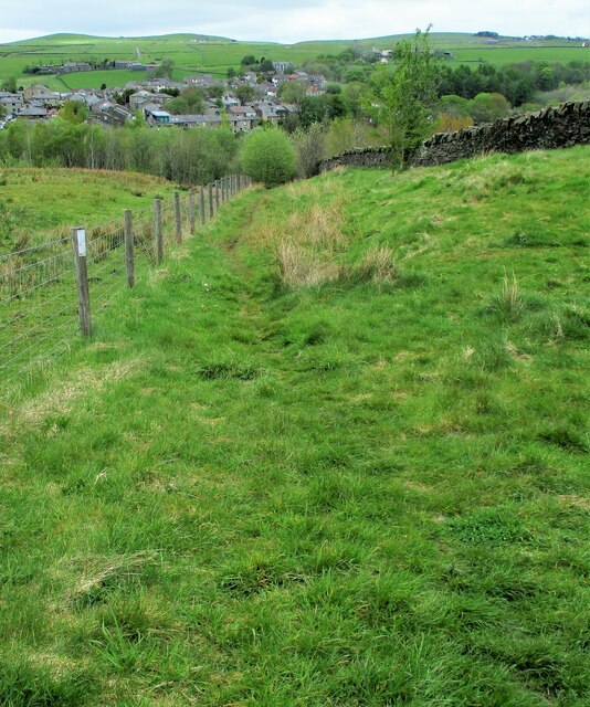
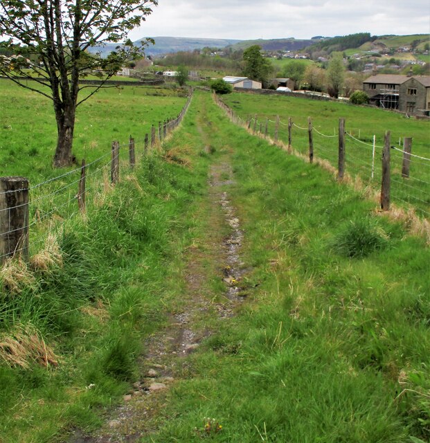
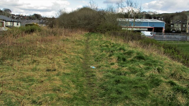
Thrutch Plantation is a picturesque woodland located in the county of Lancashire, England. Situated near the village of Wood, this expansive forest covers an area of approximately 100 acres. The plantation is a popular destination for nature enthusiasts, hikers, and wildlife lovers.
The woodland is predominantly composed of native tree species, including oak, beech, and birch, which provide a lush and diverse habitat for a variety of flora and fauna. The forest floor is adorned with a carpet of wildflowers during the spring and summer months, creating a vibrant and colorful display.
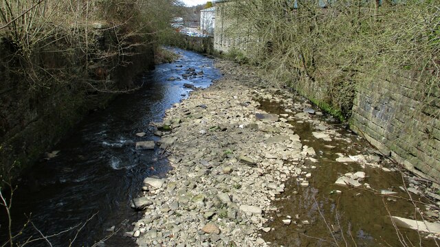
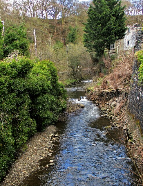
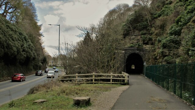
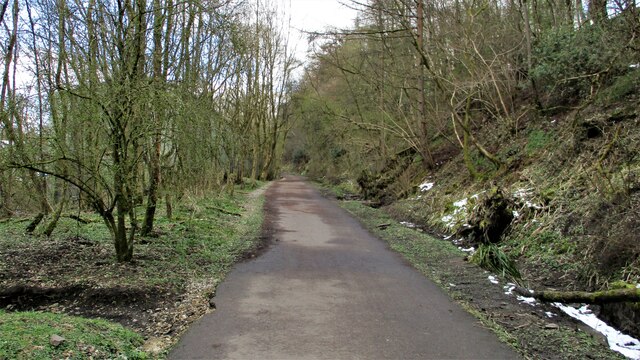
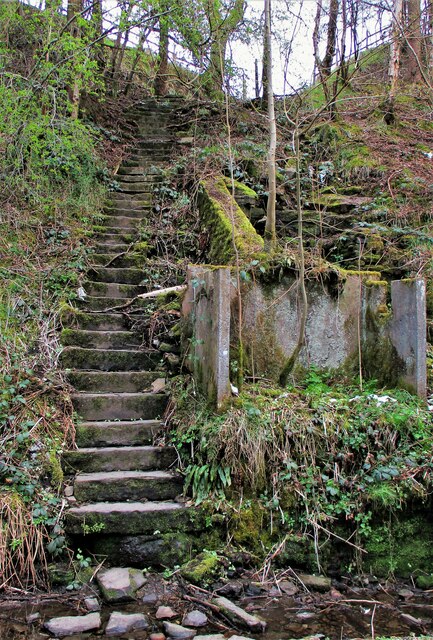
Thrutch Plantation boasts several well-maintained walking trails, allowing visitors to explore the natural beauty of the area at their own pace. These paths wind through the woodland, offering breathtaking views of the surrounding countryside. Along the way, visitors may come across peaceful streams, enchanting glades, and tranquil ponds, adding to the charm of the plantation.
Wildlife is abundant in Thrutch Plantation, making it a haven for animal lovers. Birdwatchers are likely to spot a range of species, including woodpeckers, owls, and various songbirds. Squirrels, foxes, and rabbits are also commonly sighted within the forest, adding to the sense of enchantment and natural wonder.
Thrutch Plantation is easily accessible, with ample parking and well-marked entrance points. The woodland is managed by the local authorities, ensuring its preservation and protection for future generations to enjoy. Whether seeking a peaceful stroll, an immersive nature experience, or simply a moment of tranquility, Thrutch Plantation offers a captivating escape into Lancashire's natural beauty.
If you have any feedback on the listing, please let us know in the comments section below.
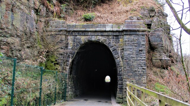
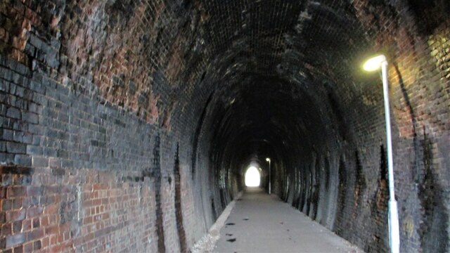
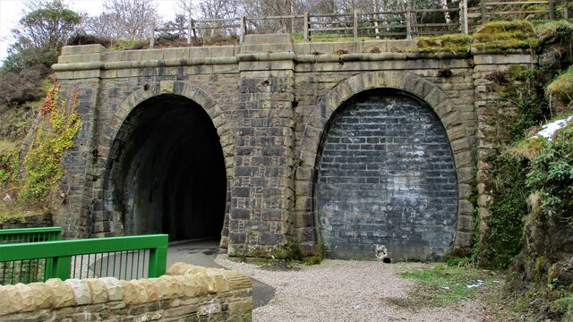
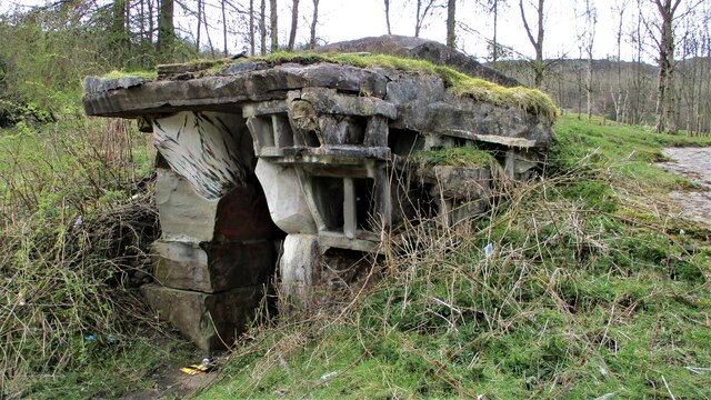
Thrutch Plantation Images
Images are sourced within 2km of 53.691208/-2.245315 or Grid Reference SD8321. Thanks to Geograph Open Source API. All images are credited.

Thrutch Plantation is located at Grid Ref: SD8321 (Lat: 53.691208, Lng: -2.245315)
Administrative County: Lancashire
District: Rossendale
Police Authority: Lancashire
What 3 Words
///upholds.lawfully.sometime. Near Rossendale, Lancashire
Nearby Locations
Related Wikis
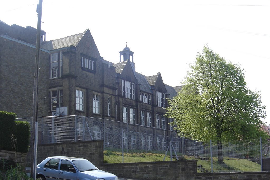
Bacup and Rawtenstall Grammar School
Bacup and Rawtenstall Grammar School (BRGS) is a selective co-educational academy grammar school in Waterfoot, Rossendale, Lancashire, England. The school...
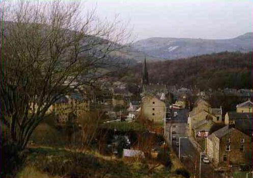
Waterfoot, Lancashire
Waterfoot is a historic mill town and civil parish in the Borough of Rossendale between Rawtenstall and Bacup in Lancashire, England. The B6238 road from...

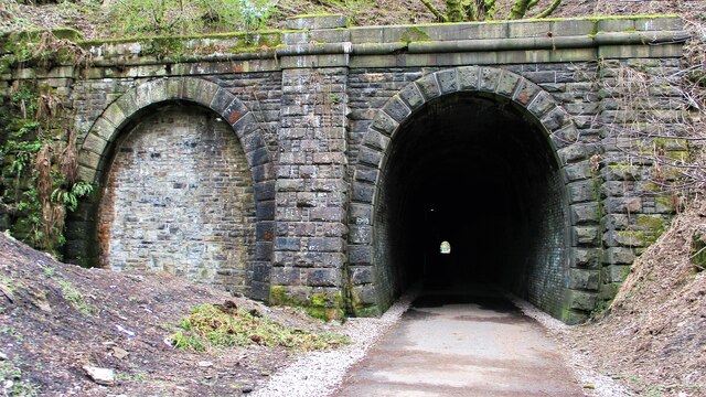
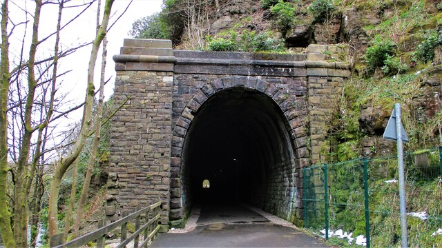
Waterfoot railway station
Waterfoot railway station served Waterfoot, Rossendale near Rawtenstall, Lancashire, England from 1848 until the line closed in 1966. == History == The...
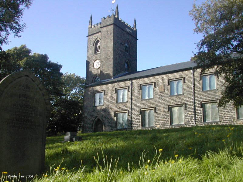
St Nicholas Church, Newchurch
St Nicholas Church in Newchurch, Lancashire, England, is an active Anglican parish church in the diocese of Manchester, founded in the early 16th century...
Nearby Amenities
Located within 500m of 53.691208,-2.245315Have you been to Thrutch Plantation?
Leave your review of Thrutch Plantation below (or comments, questions and feedback).