Littlewood's Plantation

Wood, Forest in Staffordshire South Staffordshire

England

Littlewood's Plantation

The Old Grammar School The school from 1511 stands alongside the Holloway in Kinver and is now a private house.
The Old Grammar School Credit: Gordon Griffiths

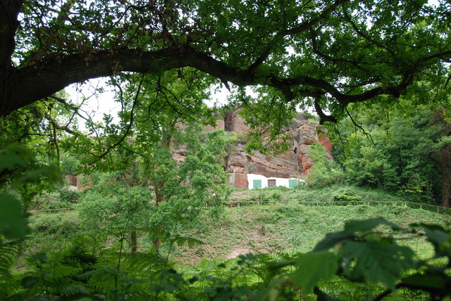
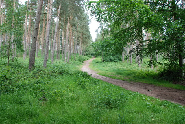
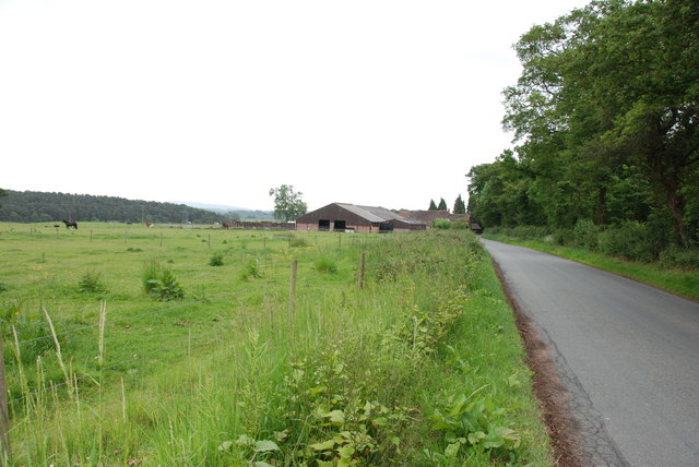
Littlewood's Plantation is a charming and picturesque woodland located in Staffordshire, England. Spread across a vast area, the plantation is a perfect retreat for nature lovers and outdoor enthusiasts alike. Nestled amidst rolling hills and lush greenery, it offers a serene and tranquil environment away from the hustle and bustle of city life.

The plantation is predominantly composed of various species of trees, including oak, birch, and beech. These trees provide a dense canopy, creating a cool and shaded atmosphere, even on hot summer days. The woodland floor is covered in a thick carpet of moss and ferns, adding to its enchanting beauty.

Littlewood's Plantation is home to a diverse range of flora and fauna. The woodland is teeming with wildlife, including squirrels, rabbits, and a variety of bird species. Nature enthusiasts can often spot woodpeckers, thrushes, and owls perched on branches or flying overhead.

For those seeking recreational activities, the plantation offers numerous walking trails and pathways that wind their way through the woods. Visitors can explore the plantation at their own pace, immersing themselves in the natural surroundings and enjoying the peaceful ambiance. It also provides an excellent opportunity for photography enthusiasts to capture the beauty of nature in all its glory.

Littlewood's Plantation is a popular destination for families, hikers, and nature lovers. Its idyllic setting, rich biodiversity, and recreational opportunities make it a beloved spot for outdoor enthusiasts to connect with nature and escape the pressures of everyday life.

If you have any feedback on the listing, please let us know in the comments section below.

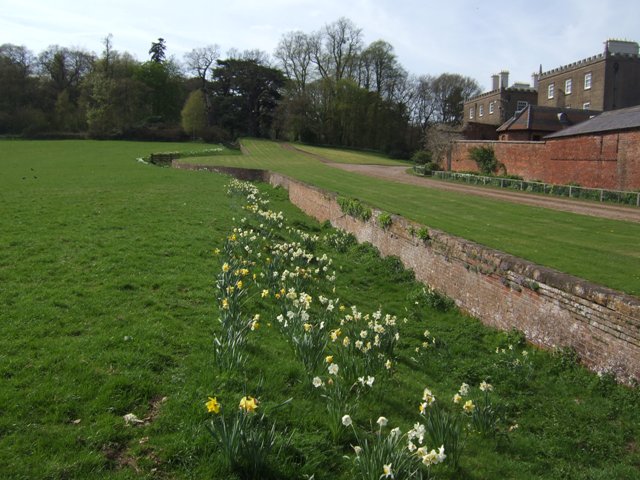
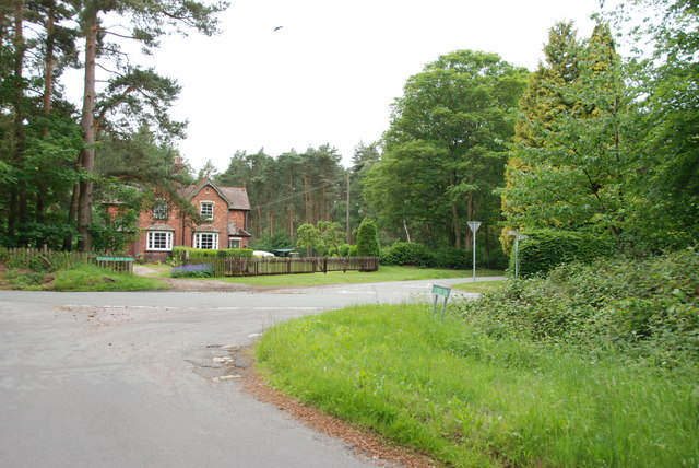
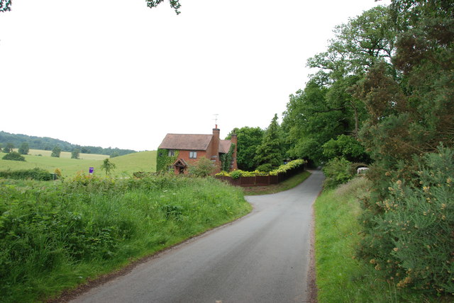
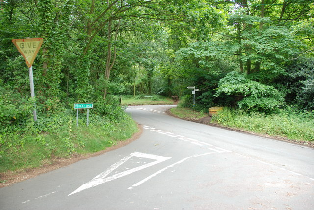
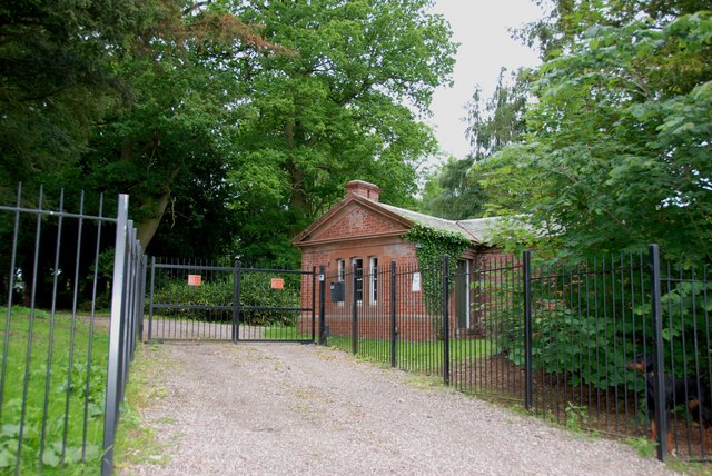
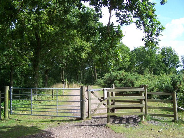
Littlewood's Plantation Images

Images are sourced within 2km of 52.462146/-2.2384343 or Grid Reference SO8384. Thanks to Geograph Open Source API. All images are credited.

The Old Grammar School The school from 1511 stands alongside the Holloway in Kinver and is now a private house.
The Old Grammar School
The school from 1511 stands alongside the Holloway in Kinver and is now a private house.
The Cross Inn The Kinver Pub stands on the corner of Church Hill and Dark Lane.
The Cross Inn
The Kinver Pub stands on the corner of Church Hill and Dark Lane.
Inside the Cross Inn The Kinver Pub on Church Hill.
Inside the Cross Inn
The Kinver Pub on Church Hill.
Enville Hall Grade II listed 16C&17C hall built by the Grey family, Earls of Stamford and Warrington. The extensive estate comprises 6500acres at Enville.
Enville Hall
Grade II listed 16C&17C hall built by the Grey family, Earls of Stamford and Warrington. The extensive estate comprises 6500acres at Enville.
Gateway at Enville Hall The gate in the brick wall surrounding the hall leads into the landscaped gardens.
Gateway at Enville Hall
The gate in the brick wall surrounding the hall leads into the landscaped gardens.
Enville Cricket Club In the grounds of Enville Hall.
Enville Cricket Club
In the grounds of Enville Hall.
Scoreboard at Enville Cricket Club Built onto the wall surrounding Enville Hall.
Scoreboard at Enville Cricket Club
Built onto the wall surrounding Enville Hall.
Ha-ha at Enville Hall The Ha-ha or sunken wall feature separates the house and gardens from the grazing in the landscaped parkland.
Ha-ha at Enville Hall
The Ha-ha or sunken wall feature separates the house and gardens from the grazing in the landscaped parkland.
Gamekeepers Cottages. These Cottages are on the Enville Road, Compton Road crossroads. Just outside Kinver.
Gamekeepers Cottages.
These Cottages are on the Enville Road, Compton Road crossroads. Just outside Kinver.
House On The Outskirts Of Kinver. This house replaced an old Cottage, around 1990
House On The Outskirts Of Kinver.
This house replaced an old Cottage, around 1990
Crossroads Near Holy Austin Rock, Kinver. These Crossroads are at the Kinver end of Kingsford Lane.
Crossroads Near Holy Austin Rock, Kinver.
These Crossroads are at the Kinver end of Kingsford Lane.
Holy Austin Rock, Kinver. One of the Rock houses has been restored, and is open to the public at certain times.The others have been closed off, as is evident from the Photo, for Health & Safety reasons.
Holy Austin Rock, Kinver.
One of the Rock houses has been restored, and is open to the public at certain times.The others have been closed off, as is evident from the Photo, for Health & Safety reasons.
Entrance To Huntsmans Drive, Kinver
A Track Into The Million.
Falcon Farm, Enville. Falcon Farm is part of the Enville Estate.
Falcon Farm, Enville.
Falcon Farm is part of the Enville Estate.
Brindley Hall, Compton, Kinver This house was once owned by James Brindley, the man who played such a big part in the building of the Canals. Up until recent years it was owned by the Enville Estate and fell into disrepair, squatters moved in for a while, then it was sold to Developers, but when they came to renovate it, Bats were found in the roof and work had to stop. If anyone lives in it now I don't know, but with iron fence and Doberman dogs I will leave that to someone else to find out. The farm nextdoor is Union Hall Farm named after The Grand Union Canal.
Brindley Hall, Compton, Kinver
This house was once owned by James Brindley, the man who played such a big part in the building of the Canals. Up until recent years it was owned by the Enville Estate and fell into disrepair, squatters moved in for a while, then it was sold to Developers, but when they came to renovate it, Bats were found in the roof and work had to stop. If anyone lives in it now I don't know, but with iron fence and Doberman dogs I will leave that to someone else to find out. The farm nextdoor is Union Hall Farm named after The Grand Union Canal.
Gate House, Brindley Hall, Compton, Kinver High security, note one of the dogs in right hand corner.
Gate House, Brindley Hall, Compton, Kinver
High security, note one of the dogs in right hand corner.
Staffordshire Way Nearing Kinver
Show me another place!

Littlewood's Plantation is located at Grid Ref: SO8384 (Lat: 52.462146, Lng: -2.2384343)

Administrative County: Staffordshire

District: South Staffordshire

Police Authority: Staffordshire

What 3 Words

///layers.outbound.incorrect. Near Kinvere, Staffordshire

Related Wikis

Kinver High School

Kinver High School (formerly Edgecliff High School) is a mixed secondary school and sixth form located in Kinver in the English county of Staffordshire...

Kinver Edge

Kinver Edge is a high heath and woodland escarpment just west of Kinver, about four miles west of Stourbridge, and four miles north of Kidderminster, and...

Dunsley, Staffordshire

Dunsley is a hamlet in Kinver, Staffordshire, England. The settled part of the hamlet is the part of the village of Kinver, lying east of the River Stour...

Kinver

Kinver is a large village in the District of South Staffordshire in Staffordshire, England. It is in the far south-west of the county, at the end of the...

Kinver Edge Hillfort

Kinver Edge Hillfort, is a univallate Iron Age hillfort with a massive rampart and outer ditch along the south-west and south-east sides, with natural...
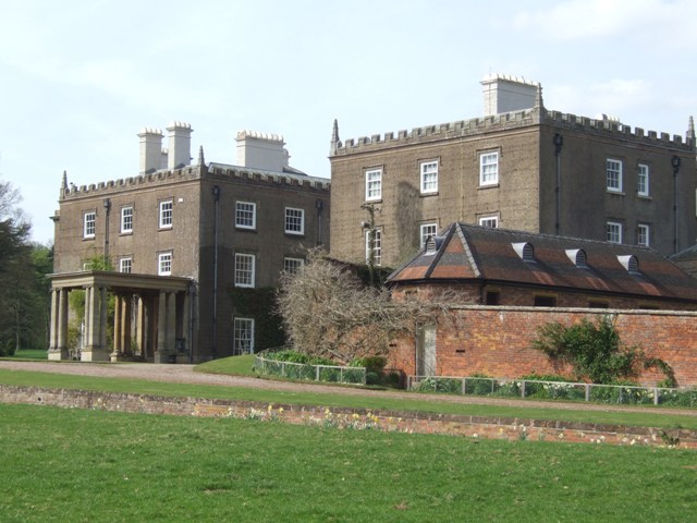
Enville Hall

Enville Hall is an English Tudor country house in the village of Enville, Staffordshire. It is a Grade II listed building.The house has a 16th and 17th...

Great Fountain, Enville

The Great Fountain, Enville, was a fountain created in the mid-19th century by the Earl of Stamford in the middle of a lake on his Enville Hall estate...

West Midlands (region)

The West Midlands is one of nine official regions of England at the first level of International Territorial Level for statistical purposes. It covers...

Nearby Amenities

Located within 500m of 52.462146,-2.2384343
Gallowstree Elm
Created By: Potlatch 0.10f
Place: hamlet
Lat/Long: 52.4590202/-2.2367071
Bus Stop
Fox Inn PH
Bus: yes
Naptan AtcoCode: 3800C606100
Naptan Bearing: W
Naptan CommonName: Fox Inn PH
Naptan Indicator: Opp
Naptan Landmark: Fox Inn PH
Naptan Street: Clanbrook Rd
Naptan Verified: no
Public Transport: platform
Source: naptan_import
Lat/Long: 52.4650971/-2.2336582
Bus Stop
Chester Road
Bus: yes
Naptan AtcoCode: 3800C606500
Naptan Bearing: NW
Naptan CommonName: Elm Tree
Naptan Indicator: Adj
Naptan Landmark: Elm Tree
Naptan Street: Enville Rd
Naptan Verified: no
Public Transport: platform
Source: naptan_import
Lat/Long: 52.4616219/-2.2406457
Bus Stop
Chester Road
Bus: yes
Naptan AtcoCode: 3800C606501
Naptan Bearing: SE
Naptan CommonName: Chester Road
Naptan Indicator: Adj
Naptan Landmark: Chester Road
Naptan Street: Enville Road
Naptan Verified: no
Public Transport: platform
Source: naptan_import
Lat/Long: 52.4615954/-2.2403954
Bus Stop
Elm Tree Inn PH
Bus: yes
Naptan AtcoCode: 3800C611800
Naptan Bearing: NW
Naptan CommonName: Elm Tree Inn PH
Naptan Indicator: Adj
Naptan Landmark: Elm Tree Inn PH
Naptan Street: Enville Road
Naptan Verified: no
Public Transport: platform
Source: naptan_import
Lat/Long: 52.4590325/-2.2386294
Littlewood's Common
Place: locality
Source: OS_OpenData_StreetView
Lat/Long: 52.4624094/-2.2345908
Power: pole
Lat/Long: 52.4652971/-2.2394274
Power: pole
Lat/Long: 52.4652775/-2.2396769
Power: pole
Lat/Long: 52.4656631/-2.2403232
Power: pole
Lat/Long: 52.4624145/-2.2312145
Power: pole
Lat/Long: 52.4660733/-2.2410044
Power: pole
Lat/Long: 52.4644164/-2.2351305
Power: pole
Lat/Long: 52.4634898/-2.2367211
Power: pole
Lat/Long: 52.4648804/-2.2382875
Power: pole
Lat/Long: 52.4626612/-2.235329
Power: pole
Lat/Long: 52.4640111/-2.237574
Power: pole
Lat/Long: 52.462975/-2.2358762
Power: pole
Lat/Long: 52.4631531/-2.2333147
Power: pole
Lat/Long: 52.4635731/-2.2345324
Power: pole
Lat/Long: 52.4627282/-2.2321265
Power: pole
Lat/Long: 52.4613751/-2.2332449
Power: pole
Lat/Long: 52.4644588/-2.2383304
Power: pole
Lat/Long: 52.4639717/-2.235841
Power: pole
Lat/Long: 52.4604141/-2.2316812
Power: pole
Lat/Long: 52.4657939/-2.2402831
Power: pole
Lat/Long: 52.4644245/-2.2369625
Power: pole
Lat/Long: 52.4639392/-2.2355811
Power: pole
Lat/Long: 52.4609273/-2.2325181
Power: pole
Lat/Long: 52.4622805/-2.234747
Power: pole
Lat/Long: 52.4618948/-2.2340898
Telephone
Booth: K6
Covered: booth
Operator: BT
Phone: +44 1384 872504
Lat/Long: 52.458233/-2.2402799
The data included in this document is from www.openstreetmap.org. The data is made available under ODbL.

Have you been to Littlewood's Plantation?

Leave your review of Littlewood's Plantation below (or comments, questions and feedback).