Hillcombe Coppice
Wood, Forest in Dorset
England
Hillcombe Coppice
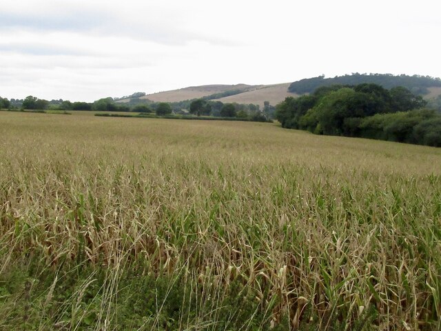
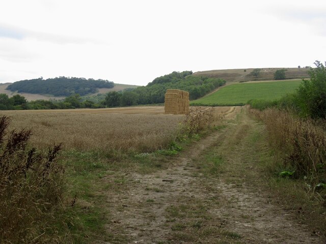
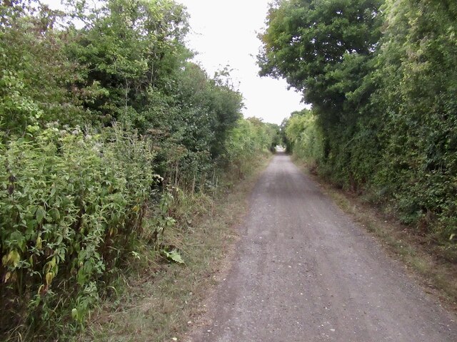
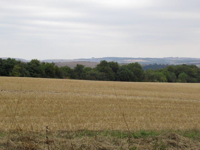
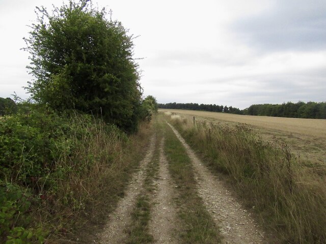
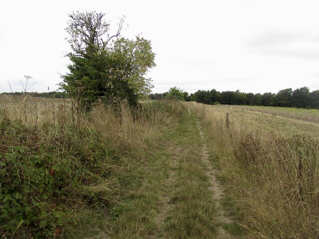
Hillcombe Coppice is a picturesque wood located in the county of Dorset, England. Covering an area of approximately 20 acres, this enchanting forest is nestled in the rolling hills of the region, offering visitors a serene and tranquil escape from the hustle and bustle of everyday life.
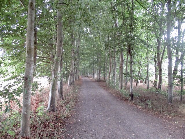
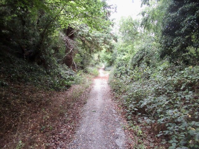
The coppice is primarily made up of native broadleaf trees, including oak, beech, and ash, which create a dense canopy overhead, filtering the sunlight and casting dappled shadows on the forest floor. The woodland is also home to an array of wildlife, such as deer, foxes, and a variety of bird species, making it a popular spot for nature enthusiasts and birdwatchers.
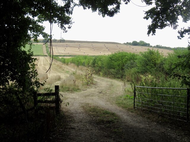
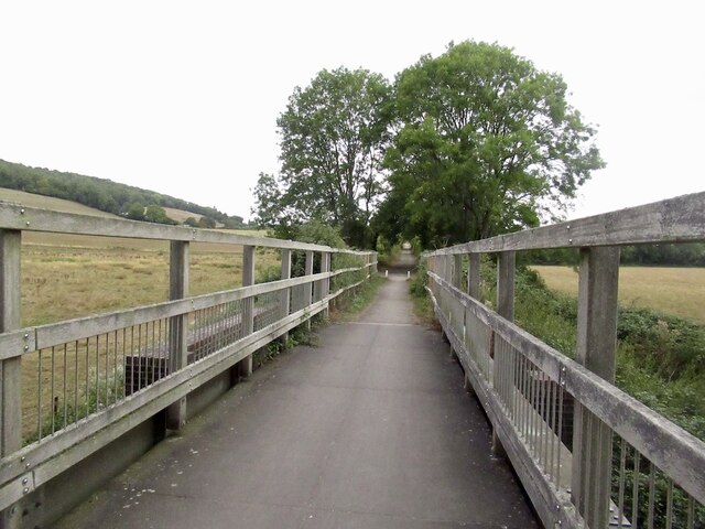
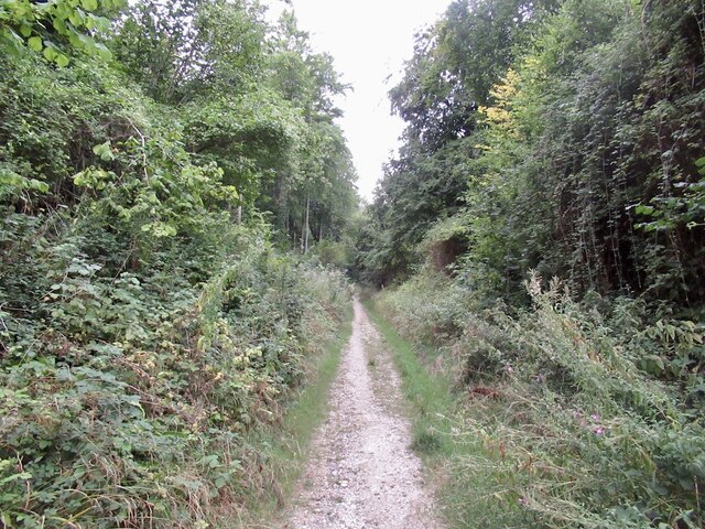
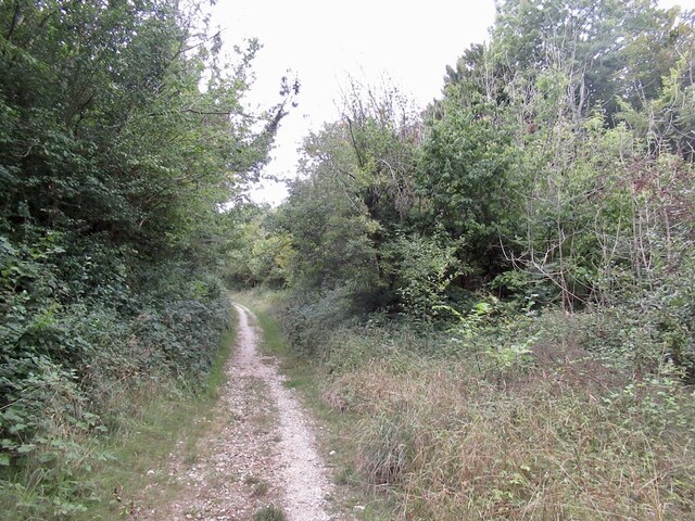
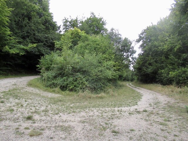
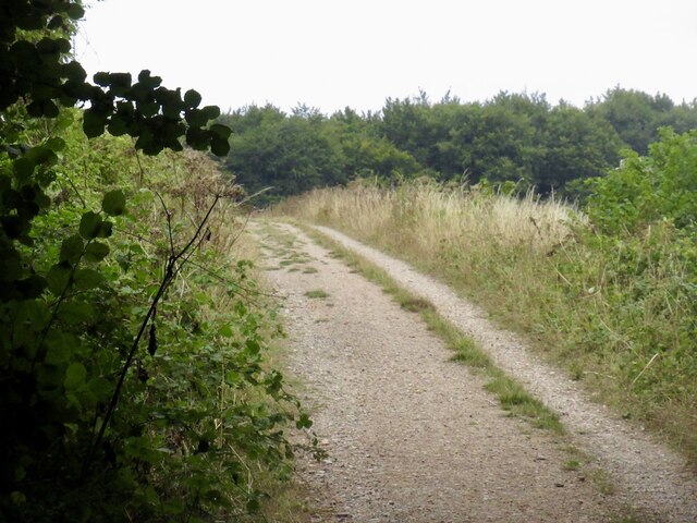
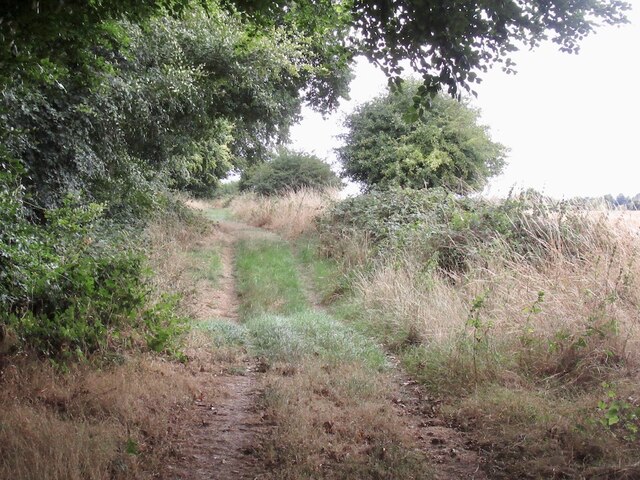
A network of well-maintained footpaths wind their way through the coppice, allowing visitors to explore its hidden corners and discover its natural beauty. The paths are lined with wildflowers and moss-covered logs, adding to the charming atmosphere of the wood.
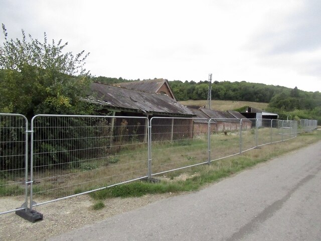
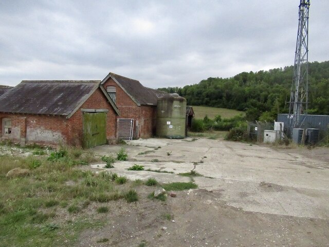
Hillcombe Coppice is also known for its rich history, with evidence of ancient settlements and iron mining activities dating back centuries. The remnants of old mine workings can still be seen, adding an intriguing element to the woodland experience.
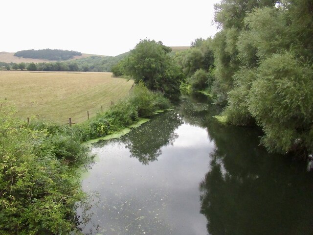
Visitors to Hillcombe Coppice can enjoy a peaceful walk, picnic in one of the designated areas, or simply sit and admire the stunning surroundings. The wood offers a true escape into nature, providing a sanctuary for both flora and fauna alike.
If you have any feedback on the listing, please let us know in the comments section below.
Hillcombe Coppice Images
Images are sourced within 2km of 50.877559/-2.2301772 or Grid Reference ST8308. Thanks to Geograph Open Source API. All images are credited.
Hillcombe Coppice is located at Grid Ref: ST8308 (Lat: 50.877559, Lng: -2.2301772)
Unitary Authority: Dorset
Police Authority: Dorset
What 3 Words
///soups.takers.bookings. Near Shillingstone, Dorset
Nearby Locations
Related Wikis

Blandford Forest
Blandford Forest is a scattered area of woodland centred to the northwest of the town of Blandford Forum in North Dorset, England. == Location == According...
Shillingstone Quarry
Shillingstone Quarry SSSI, Dorset (grid reference ST823098) is an 8.13 hectare geological Site of Special Scientific Interest in Dorset, England, notified...

Durweston
Durweston ( dər-WES-tən) is a village and civil parish in the English county of Dorset. It lies two miles (three kilometres) northwest of the town of Blandford...

Turnworth
Turnworth is a small village and civil parish in north Dorset, England, situated on the Dorset Downs five miles (eight kilometres) west of Blandford Forum...

Stourpaine and Durweston railway station
Stourpaine & Durweston Halt was a railway station in the English county of Dorset. It was located between Shillingstone and Blandford Forum on the Somerset...

Stourpaine
Stourpaine () is a village and civil parish in the ceremonial county of Dorset in southern England. It is situated in the valley of the River Stour in...
Hanford School
Hanford School is a girls' boarding preparatory school located in Hanford, Child Okeford, Dorset, England, established in 1947 and located in a grade II...

Hod Hill
Hod Hill (or Hodd Hill) is a large hill fort in the Blackmore Vale, 3 miles (5 km) north-west of Blandford Forum, Dorset, England. The fort sits on a 143...
Have you been to Hillcombe Coppice?
Leave your review of Hillcombe Coppice below (or comments, questions and feedback).