Vale
Settlement in Yorkshire
England
Vale
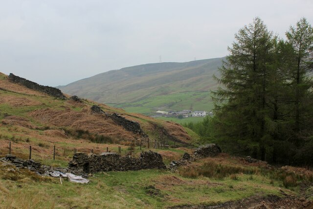
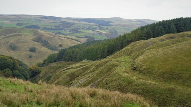
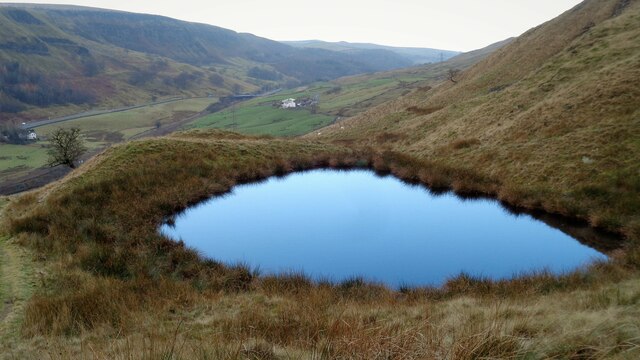
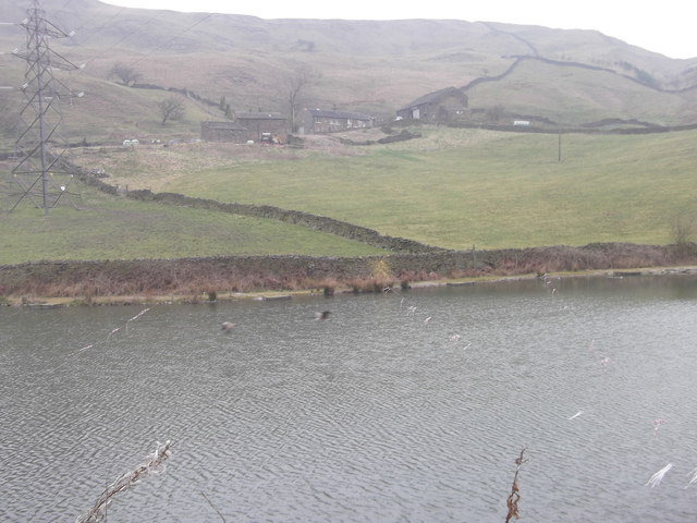
Vale is a small village located in the county of Yorkshire, England. Situated in the beautiful countryside, Vale is known for its picturesque surroundings and tranquil atmosphere. The village is nestled in a valley, surrounded by rolling hills and green fields, offering stunning views to residents and visitors alike.
Vale has a rich history dating back centuries. It was once a thriving agricultural community, with farming being the main occupation for its inhabitants. Although the village has evolved over time, it still retains its rural charm and traditional character.
The architecture in Vale is predominantly made up of charming stone cottages and farmhouses, giving the village a quaint and timeless feel. The village center features a small square with a few shops, a local pub, and a village hall, which serves as a gathering place for community events.
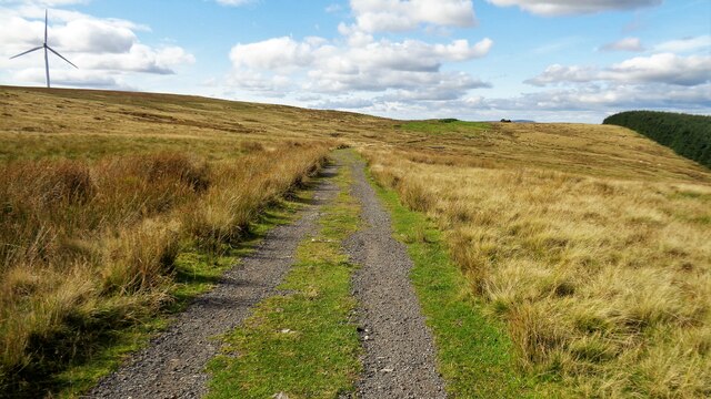
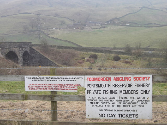
Nature enthusiasts are drawn to Vale for its numerous walking trails and nature reserves nearby. The village is a great starting point for exploring the surrounding countryside, with opportunities for hiking, cycling, and wildlife spotting. The nearby river also offers fishing spots for anglers.
Despite its small size, Vale has a strong community spirit, with various social and recreational activities organized throughout the year. The villagers take pride in their close-knit community and often come together for events such as summer fairs, harvest festivals, and Christmas markets.
Vale is a peaceful retreat for those seeking a slower pace of life and a connection with nature. Its idyllic setting and friendly community make it a charming destination for visitors and a welcoming place to call home.
If you have any feedback on the listing, please let us know in the comments section below.
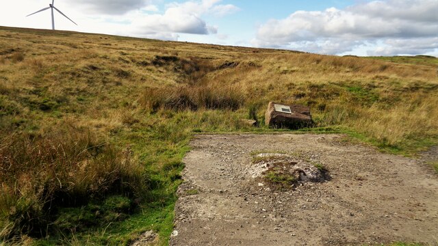
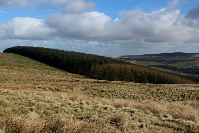
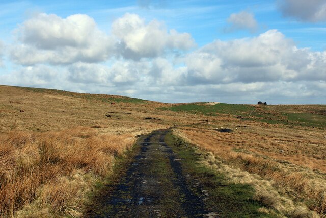
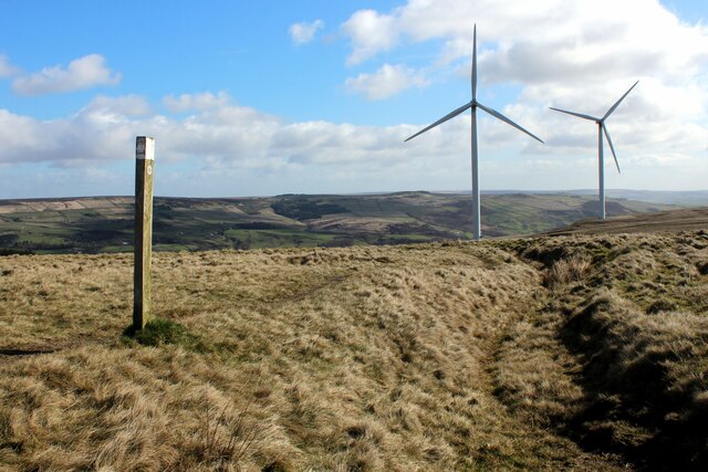
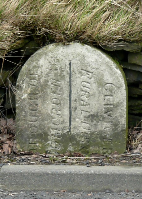
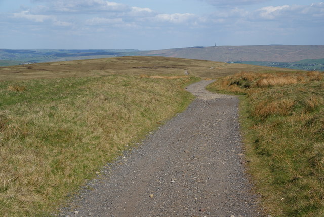
Vale Images
Images are sourced within 2km of 53.731215/-2.134873 or Grid Reference SD9126. Thanks to Geograph Open Source API. All images are credited.


Vale is located at Grid Ref: SD9126 (Lat: 53.731215, Lng: -2.134873)
Division: West Riding
Unitary Authority: Calderdale
Police Authority: West Yorkshire
What 3 Words
///uncouth.incurs.satellite. Near Cornholme, West Yorkshire
Nearby Locations
Related Wikis

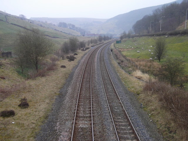
Cornholme railway station
Cornholme railway station served the village of Cornholme in West Yorkshire, England on the Copy Pit line. The station was opened by the Lancashire and...

Pudsey, Calderdale
Pudsey is a neighbourhood in the village of Cornholme, Calderdale, West Yorkshire, England. It is near the town of Todmorden and the A646 Burnley Road...

Cornholme
Cornholme is a village near Todmorden, in the metropolitan borough of Calderdale, in West Yorkshire, England. It lies at the edge of Calderdale, on the...

Portsmouth, West Yorkshire
Portsmouth is a village on the A646 road in the Calderdale district, in the county of West Yorkshire, England. Nearby settlements include the towns of...
Nearby Amenities
Located within 500m of 53.731215,-2.134873Have you been to Vale?
Leave your review of Vale below (or comments, questions and feedback).