Vagg

Settlement in Somerset South Somerset

England

Vagg

Odcombe : Yeovil Suburbs Looking down into the industrial estate and around the suburbs.
Odcombe : Yeovil Suburbs Credit: Lewis Clarke

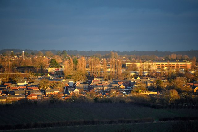
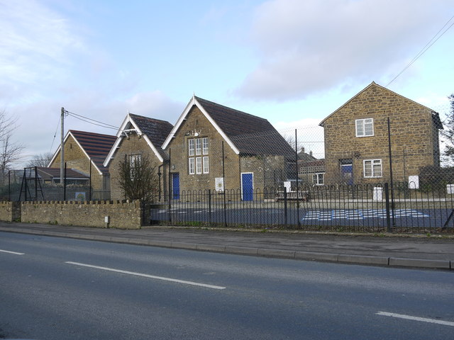
Vagg is a small village located in the county of Somerset, England. Situated in the picturesque Mendip Hills, Vagg boasts a population of approximately 300 residents. The village is nestled amidst rolling green hills and offers stunning views of the surrounding countryside.

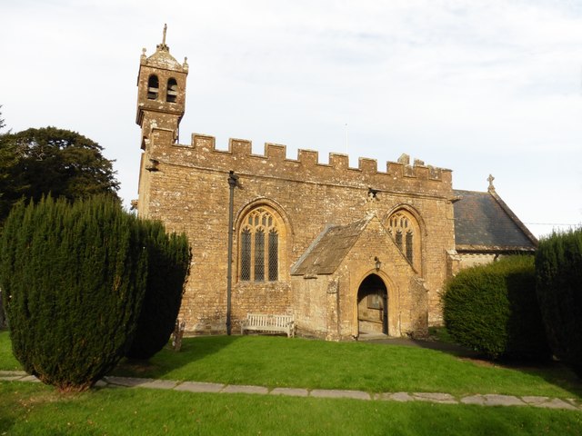
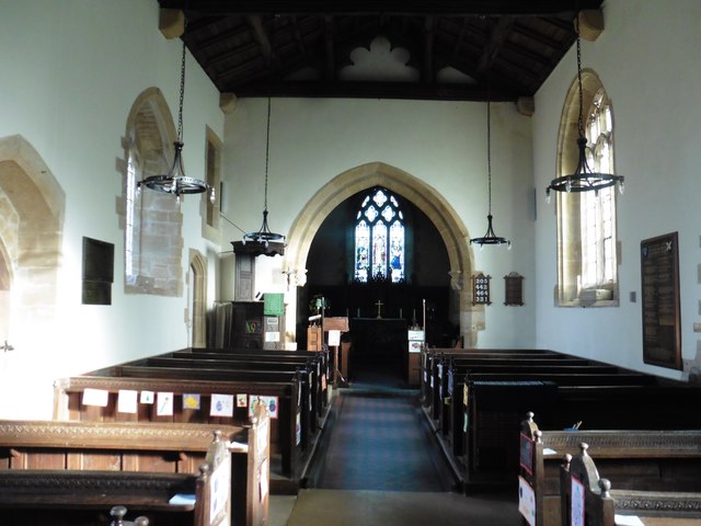
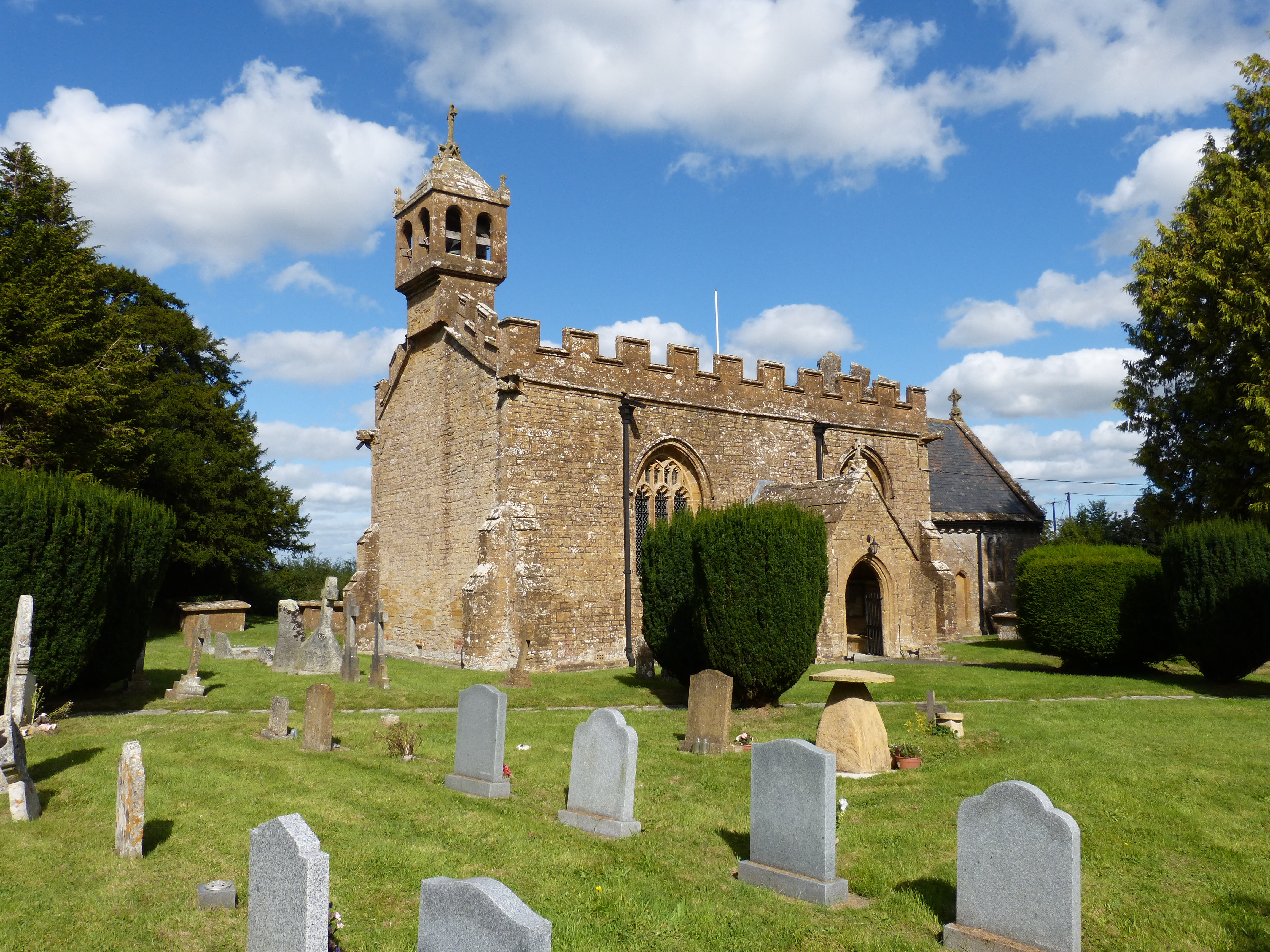
Historically, Vagg has been an agricultural community, and remnants of its farming heritage can still be seen today. The village is characterized by its charming stone cottages, many of which date back several centuries. The quaint village church, St. Mary's, is another prominent feature of Vagg, with its beautiful architecture and peaceful atmosphere.

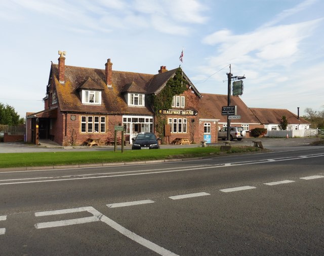
Despite its small size, Vagg offers a range of amenities for its residents and visitors. The village has a local pub, the Vagg Inn, which serves traditional British cuisine and is a popular gathering spot for locals. Vagg also has a village hall, which hosts various community events and activities throughout the year.

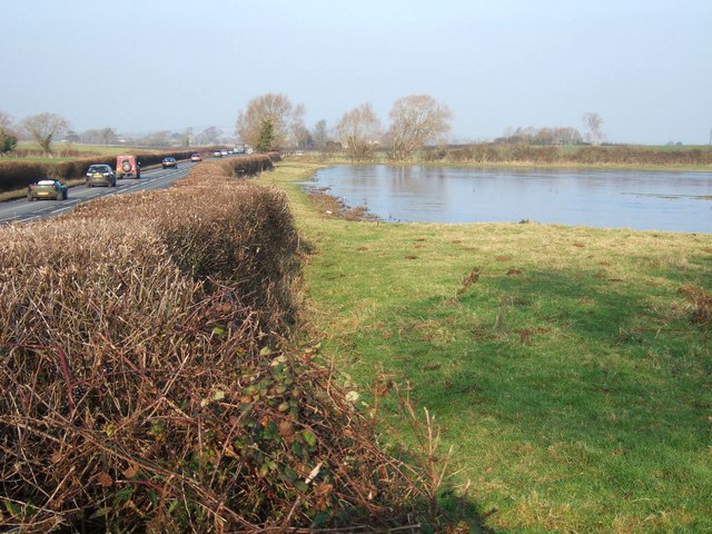
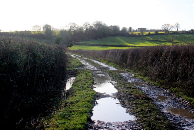
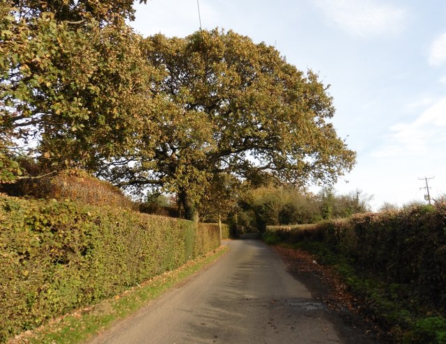
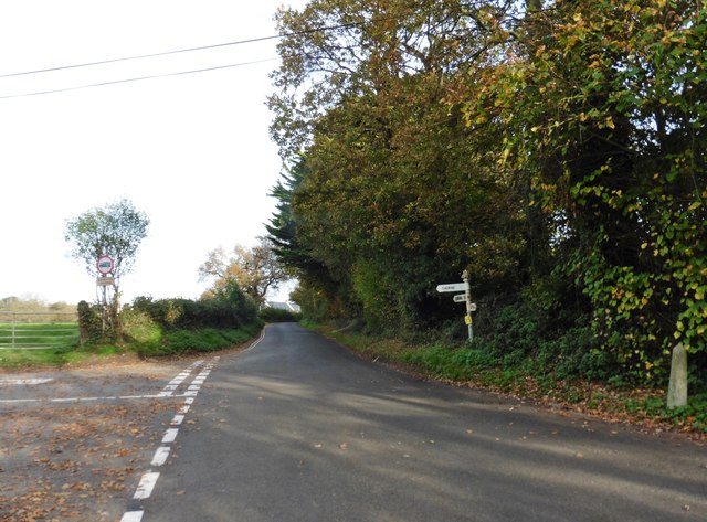
The surrounding countryside provides ample opportunities for outdoor enthusiasts. The Mendip Hills Area of Outstanding Natural Beauty offers numerous walking and cycling trails, allowing visitors to explore the stunning landscapes and experience the tranquility of rural Somerset.

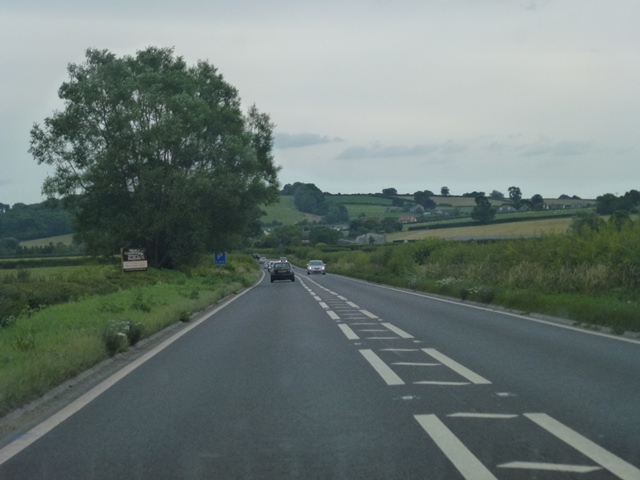
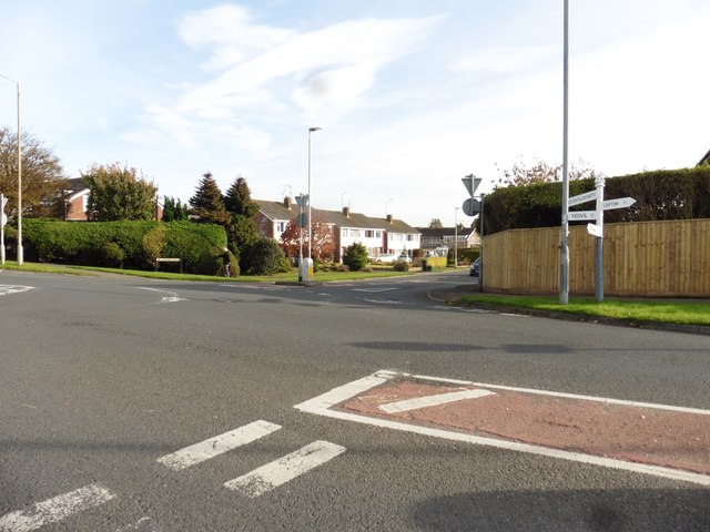
Vagg's location also makes it a convenient base for exploring the wider region. Nearby attractions include the historic city of Wells, famous for its stunning cathedral, and the popular tourist destination of Cheddar Gorge, known for its dramatic cliffs and caves.

In summary, Vagg is a charming village in Somerset, offering a peaceful and idyllic setting amidst the beautiful Mendip Hills. With its rich history, natural beauty, and close proximity to other attractions, Vagg is a delightful destination for residents and tourists alike.

If you have any feedback on the listing, please let us know in the comments section below.
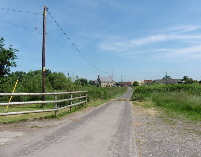
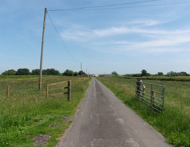
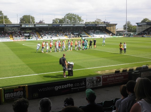
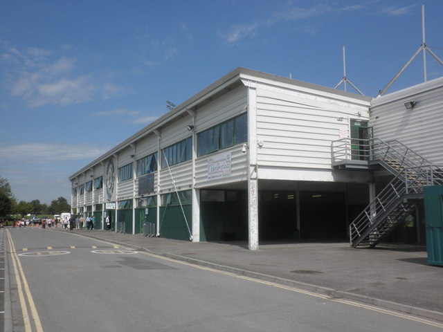
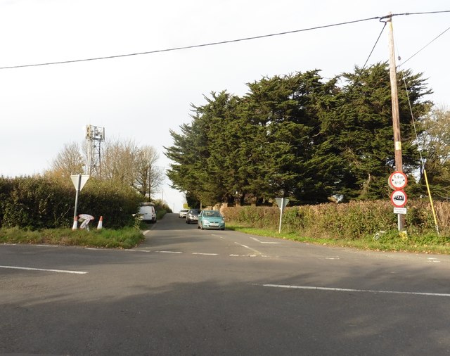
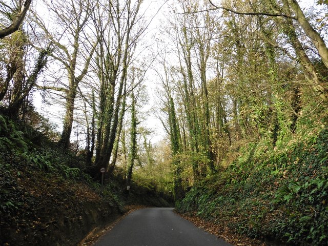
Vagg Images

Images are sourced within 2km of 50.963759/-2.669963 or Grid Reference ST5318. Thanks to Geograph Open Source API. All images are credited.

Odcombe : Yeovil Suburbs Looking down into the industrial estate and around the suburbs.
Odcombe : Yeovil Suburbs
Looking down into the industrial estate and around the suburbs.
Flooded field beside A37 Taken close to the drive to Rushley Farm. The ground undulates slightly in this square, and I imagine this field is often flooded. A drain runs along the far side of it and across the A37, flowing left towards the Bearley Brook. At about 11.30 am, the sheet of water was still largely covered in ice.

The A37 is here following the line of a Roman road from Dorchester to Ilchester.
Flooded field beside A37
Taken close to the drive to Rushley Farm. The ground undulates slightly in this square, and I imagine this field is often flooded. A drain runs along the far side of it and across the A37, flowing left towards the Bearley Brook. At about 11.30 am, the sheet of water was still largely covered in ice. The A37 is here following the line of a Roman road from Dorchester to Ilchester.
A37 Southbound On the Ilchester Road heading towards Yeovil Marsh just north of Rushley Farm.
A37 Southbound
On the Ilchester Road heading towards Yeovil Marsh just north of Rushley Farm.
Muddy Track Chilthorne Hill This track leads up from the fields in the marshy vale to Chilthorne Hill whose houses can be seen on the skyline.
Muddy Track Chilthorne Hill
This track leads up from the fields in the marshy vale to Chilthorne Hill whose houses can be seen on the skyline.
Road to Rushley Farm
Yeovil Town v Luton Town The players shake hands before kick off at Huish Park. Despite going behind by two goals in the first half, Yeovil came back to win the match 3-2.
Yeovil Town v Luton Town
The players shake hands before kick off at Huish Park. Despite going behind by two goals in the first half, Yeovil came back to win the match 3-2.
Main stand, Huish Park Home to Yeovil Town FC.
Main stand, Huish Park
Home to Yeovil Town FC.
Head Office, Screwfix Ltd, Yeovil
Chilthorne Domer Primary School The school occupies an old house on the right, two old school buildings in the centre and a new building sympathetically matching the old ones on the left. It sits at the junction of Chilthorne Domer main St and the Tintinhull Rd.
Chilthorne Domer Primary School
The school occupies an old house on the right, two old school buildings in the centre and a new building sympathetically matching the old ones on the left. It sits at the junction of Chilthorne Domer main St and the Tintinhull Rd.
Thorne Lane
Thorne Lane
Thorne Cross
Thorne Cross
Turning for Larkhill Road
Turning for Tintinhull Road
Vagg Lane
Vagg Lane
'Halfway House'
'Halfway House'
Church of the Blessed Virgin Mary - Chilthorne Domer
Interior, Church of the Blessed Virgin Mary
Show me another place!

Vagg is located at Grid Ref: ST5318 (Lat: 50.963759, Lng: -2.669963)

Administrative County: Somerset

District: South Somerset

Police Authority: Avon and Somerset

What 3 Words

///promoting.unlimited.flattens. Near Yeovil, Somerset

Nearby Locations

Vagg Vagg Copse

Related Wikis

Church of St Andrew, Thorne Coffin

The Church of St Andrew in Thorne Coffin, Somerset, England, was built in the 14th century. It is a Grade II* listed building. == History == The church...

Church of St Mary, Chilthorne Domer

The Anglican Church of St Mary in Chilthorne Domer, Somerset, England was built in the 13th century. It is a Grade II* listed building. == History == The...

Chilthorne Domer

Chilthorne Domer is a village and parish in Somerset, England, situated 4 miles (6.4 km) north west of Yeovil in the South Somerset district. The village...

All Saints' Church, Yeovil Marsh

All Saints Church is a Church of England church in Yeovil Marsh, Somerset, England. It was designed by Charles Benson and built at the expense of George...

Nearby Amenities

Located within 500m of 50.963759,-2.669963
Jessops Bed and Breakfast
Addr Postcode: BA21 3PX
Guest House: bed_and_breakfast
Tourism: guest_house
Lat/Long: 50.9661556/-2.671038
Power: pole
Lat/Long: 50.9654447/-2.6649746
Power: pole
Lat/Long: 50.9647995/-2.6668805
Power: pole
Lat/Long: 50.9644339/-2.66799
Power: pole
Lat/Long: 50.963744/-2.6693102
Power: pole
Lat/Long: 50.9631801/-2.6710373
Power: pole
Lat/Long: 50.9627008/-2.6728051
Power: pole
Lat/Long: 50.9622795/-2.6743854
Power: pole
Lat/Long: 50.9618148/-2.6762098
Turning Loop
Lat/Long: 50.9610435/-2.6676046
Post Box
Brand: Royal Mail
Brand Wikidata: Q638098
Brand Wikipedia: en:Royal Mail
Operator: Royal Mail
Operator Wikidata: Q638098
Post Box Type: lamp
Ref: BA21 212
Royal Cypher: EIIR
Royal Cypher Wikidata: Q33102113
Lat/Long: 50.9615555/-2.6656142
Lower Vagg
Place: hamlet
Lat/Long: 50.9666325/-2.6714952
Generator Method: photovoltaic
Generator Output Electricity: yes
Generator Source: solar
Generator Type: solar_photovoltaic_panel
Location: roof
Power: generator
Lat/Long: 50.9664029/-2.6717404
Generator Method: photovoltaic
Generator Output Electricity: yes
Generator Source: solar
Generator Type: solar_photovoltaic_panel
Location: roof
Power: generator
Lat/Long: 50.966359/-2.6717135
Generator Method: photovoltaic
Generator Output Electricity: yes
Generator Source: solar
Generator Type: solar_photovoltaic_panel
Location: roof
Power: generator
Lat/Long: 50.9661293/-2.6711757
The data included in this document is from www.openstreetmap.org. The data is made available under ODbL.

Have you been to Vagg?

Leave your review of Vagg below (or comments, questions and feedback).