Vagg Copse

Wood, Forest in Somerset South Somerset

England

Vagg Copse

Flooded field beside A37 Taken close to the drive to Rushley Farm. The ground undulates slightly in this square, and I imagine this field is often flooded. A drain runs along the far side of it and across the A37, flowing left towards the Bearley Brook. At about 11.30 am, the sheet of water was still largely covered in ice.

The A37 is here following the line of a Roman road from Dorchester to Ilchester.
Flooded field beside A37 Credit: Derek Harper

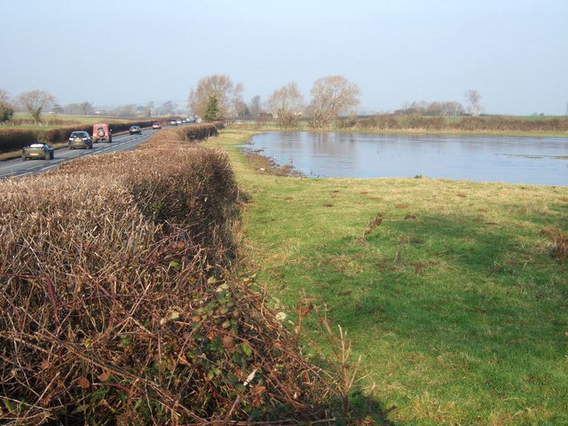
Vagg Copse is a picturesque wood located in the county of Somerset, England. Situated near the village of Vagg in the Mendip Hills, it covers an area of approximately 10 acres, making it a relatively small but enchanting forest.

The copse is characterized by its diverse range of tree species, including oak, beech, ash, and birch. These trees form a dense canopy that provides shade and shelter for a variety of wildlife. The forest floor is carpeted with ferns, bluebells, and other wildflowers, creating a vibrant and colorful display during the spring and summer months.

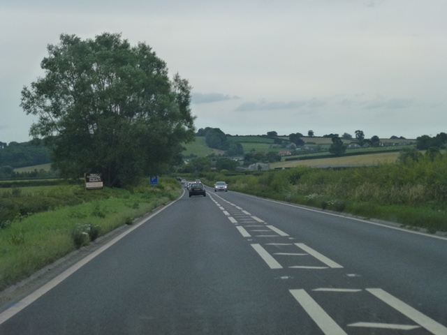
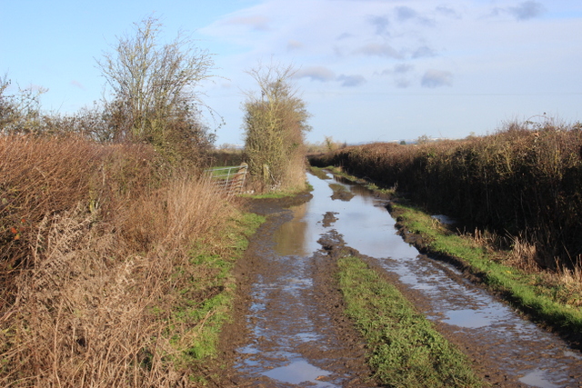
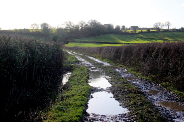
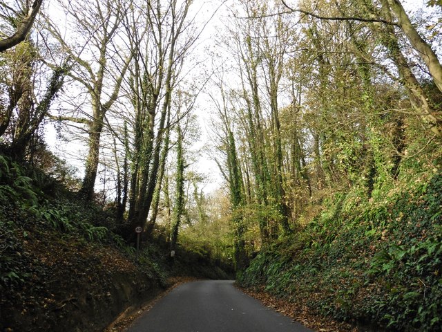
The wood is crisscrossed with a network of footpaths, allowing visitors to explore its natural beauty. These paths wind through ancient woodland, revealing hidden clearings, babbling brooks, and secluded picnic spots. The tranquil atmosphere of Vagg Copse makes it a popular destination for nature enthusiasts, walkers, and families seeking a peaceful retreat.

The copse is also home to a rich array of wildlife. Bird watchers can spot a variety of species, including woodpeckers, owls, and buzzards. Mammals such as foxes, badgers, and deer can also be glimpsed within the woodland, adding to the sense of wilderness and biodiversity.

Vagg Copse is a haven for nature lovers and a valuable natural resource for the local community. Its beauty and tranquility make it a cherished place for residents and visitors alike, offering a peaceful escape from the hustle and bustle of everyday life.

If you have any feedback on the listing, please let us know in the comments section below.
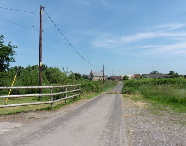
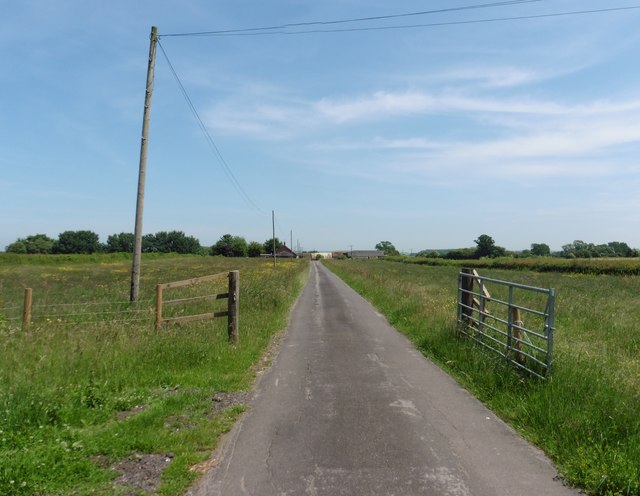
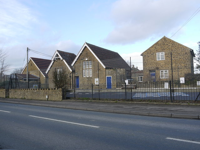
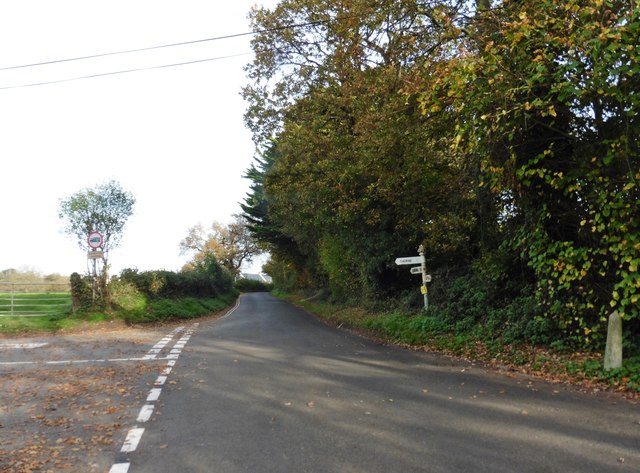
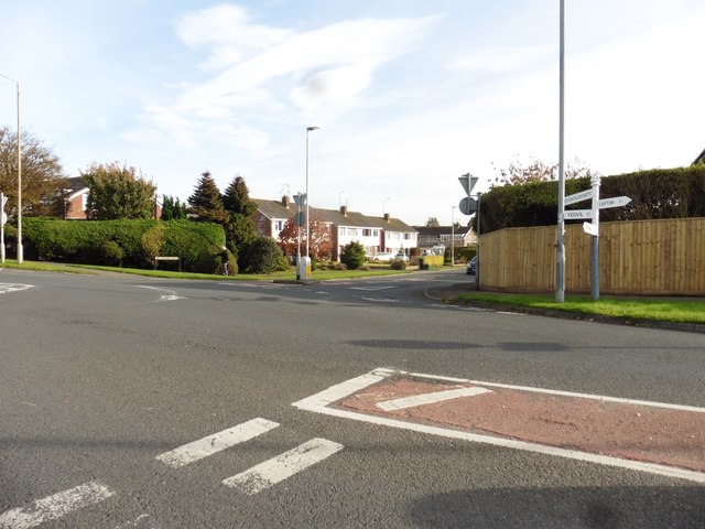
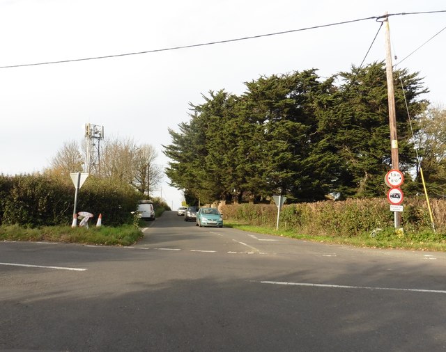
Vagg Copse Images

Images are sourced within 2km of 50.96636/-2.6657369 or Grid Reference ST5318. Thanks to Geograph Open Source API. All images are credited.

Flooded field beside A37 Taken close to the drive to Rushley Farm. The ground undulates slightly in this square, and I imagine this field is often flooded. A drain runs along the far side of it and across the A37, flowing left towards the Bearley Brook. At about 11.30 am, the sheet of water was still largely covered in ice.

The A37 is here following the line of a Roman road from Dorchester to Ilchester.
Flooded field beside A37
Taken close to the drive to Rushley Farm. The ground undulates slightly in this square, and I imagine this field is often flooded. A drain runs along the far side of it and across the A37, flowing left towards the Bearley Brook. At about 11.30 am, the sheet of water was still largely covered in ice. The A37 is here following the line of a Roman road from Dorchester to Ilchester.
Ponds near Lower Oakley Farm A couple of swans and numerous ducks left the ponds before I could
include them in the picture despite my careful approach.
Ponds near Lower Oakley Farm
A couple of swans and numerous ducks left the ponds before I could include them in the picture despite my careful approach.
Oakley Brook Taken looking upstream from a bridge carrying the bridleway
towards New Oakley Farm.
Oakley Brook
Taken looking upstream from a bridge carrying the bridleway towards New Oakley Farm.
A37 Southbound On the Ilchester Road heading towards Yeovil Marsh just north of Rushley Farm.
A37 Southbound
On the Ilchester Road heading towards Yeovil Marsh just north of Rushley Farm.
Fields near Oakley Farms The large farm buildings in the Middle Distance belong to lower Oakley Farm which farms water buffalo.
Fields near Oakley Farms
The large farm buildings in the Middle Distance belong to lower Oakley Farm which farms water buffalo.
Flooded Track near Chilthorne Hill This is a farmers track that leads out to fields from Shortland Farm. The land here is heavy clay and floods easily.
Flooded Track near Chilthorne Hill
This is a farmers track that leads out to fields from Shortland Farm. The land here is heavy clay and floods easily.
Muddy Track Chilthorne Hill This track leads up from the fields in the marshy vale to Chilthorne Hill whose houses can be seen on the skyline.
Muddy Track Chilthorne Hill
This track leads up from the fields in the marshy vale to Chilthorne Hill whose houses can be seen on the skyline.
Road to Rushley Farm
Yeovil Town v Luton Town The players shake hands before kick off at Huish Park. Despite going behind by two goals in the first half, Yeovil came back to win the match 3-2.
Yeovil Town v Luton Town
The players shake hands before kick off at Huish Park. Despite going behind by two goals in the first half, Yeovil came back to win the match 3-2.
Main stand, Huish Park Home to Yeovil Town FC.
Main stand, Huish Park
Home to Yeovil Town FC.
Chilthorne Domer Primary School The school occupies an old house on the right, two old school buildings in the centre and a new building sympathetically matching the old ones on the left. It sits at the junction of Chilthorne Domer main St and the Tintinhull Rd.
Chilthorne Domer Primary School
The school occupies an old house on the right, two old school buildings in the centre and a new building sympathetically matching the old ones on the left. It sits at the junction of Chilthorne Domer main St and the Tintinhull Rd.
Thorne Cross
Thorne Cross
Turning for Larkhill Road
Turning for Tintinhull Road
Vagg Lane
Vagg Lane
'Halfway House'
'Halfway House'
Church of the Blessed Virgin Mary - Chilthorne Domer
Show me another place!

Vagg Copse is located at Grid Ref: ST5318 (Lat: 50.96636, Lng: -2.6657369)

Administrative County: Somerset

District: South Somerset

Police Authority: Avon and Somerset

What 3 Words

///uttering.trespass.herring. Near Yeovil, Somerset

Nearby Locations

Vagg Vagg Copse

Related Wikis

All Saints' Church, Yeovil Marsh

All Saints Church is a Church of England church in Yeovil Marsh, Somerset, England. It was designed by Charles Benson and built at the expense of George...

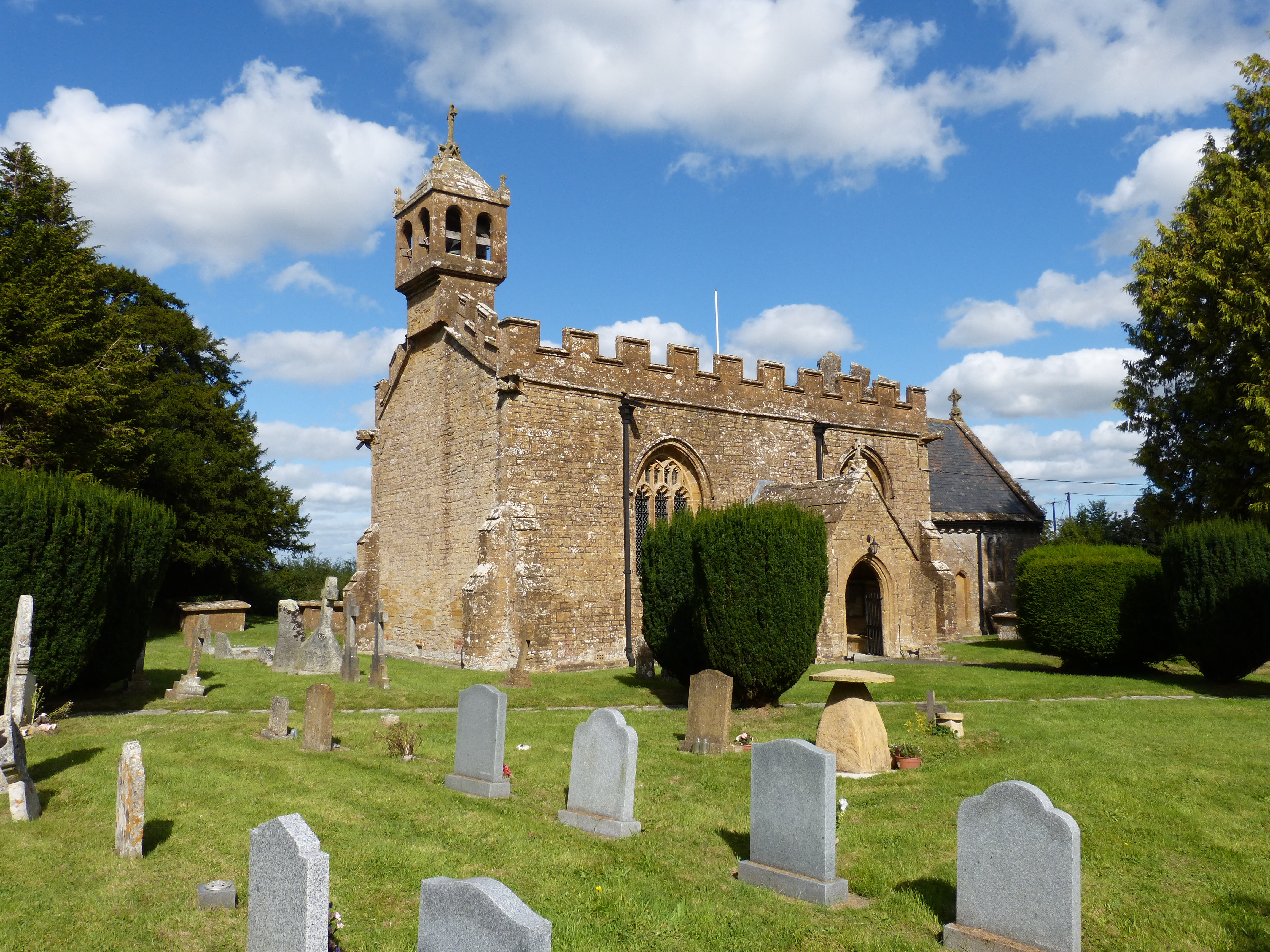
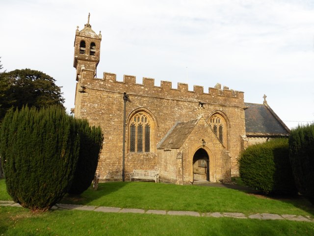
Church of St Mary, Chilthorne Domer

The Anglican Church of St Mary in Chilthorne Domer, Somerset, England was built in the 13th century. It is a Grade II* listed building. == History == The...

Chilthorne Domer

Chilthorne Domer is a village and parish in Somerset, England, situated 4 miles (6.4 km) north west of Yeovil in the South Somerset district. The village...

Church of St Andrew, Thorne Coffin

The Church of St Andrew in Thorne Coffin, Somerset, England, was built in the 14th century. It is a Grade II* listed building. == History == The church...

Johnson Park, Yeovil

Johnson Park is a multi-purpose sports ground on the northern outskirts of Yeovil, Somerset and is home to the Yeovil Sports and Social Club. The main...

Yeovil Without

Yeovil Without is a civil parish in the South Somerset district of Somerset, England. It lies on the northern edge of Yeovil. It includes both suburbs...

Yeovil Rural District

Yeovil was a rural district in Somerset, England, from 1894 to 1974. It was created in 1894 under the Local Government Act 1894. In 1974 it was abolished...

Huish Park

Huish Park is a football stadium located in Yeovil, Somerset, England. The stadium has been home to Yeovil Town F.C. since its completion in 1990, following...

Nearby Amenities

Located within 500m of 50.96636,-2.6657369
Jessops Bed and Breakfast
Addr Postcode: BA21 3PX
Guest House: bed_and_breakfast
Tourism: guest_house
Lat/Long: 50.9661556/-2.671038
Power: pole
Lat/Long: 50.9670897/-2.6601719
Power: pole
Lat/Long: 50.9665325/-2.6617752
Power: pole
Lat/Long: 50.9659463/-2.663536
Power: pole
Lat/Long: 50.9654447/-2.6649746
Power: pole
Lat/Long: 50.9647995/-2.6668805
Power: pole
Lat/Long: 50.9644339/-2.66799
Power: pole
Lat/Long: 50.963744/-2.6693102
Lower Vagg
Place: hamlet
Lat/Long: 50.9666325/-2.6714952
Generator Method: photovoltaic
Generator Output Electricity: yes
Generator Source: solar
Generator Type: solar_photovoltaic_panel
Location: roof
Power: generator
Lat/Long: 50.9664029/-2.6717404
Generator Method: photovoltaic
Generator Output Electricity: yes
Generator Source: solar
Generator Type: solar_photovoltaic_panel
Location: roof
Power: generator
Lat/Long: 50.966359/-2.6717135
Generator Method: photovoltaic
Generator Output Electricity: yes
Generator Source: solar
Generator Type: solar_photovoltaic_panel
Location: roof
Power: generator
Lat/Long: 50.9661293/-2.6711757
The data included in this document is from www.openstreetmap.org. The data is made available under ODbL.

Have you been to Vagg Copse?

Leave your review of Vagg Copse below (or comments, questions and feedback).