Shore
Settlement in Yorkshire
England
Shore
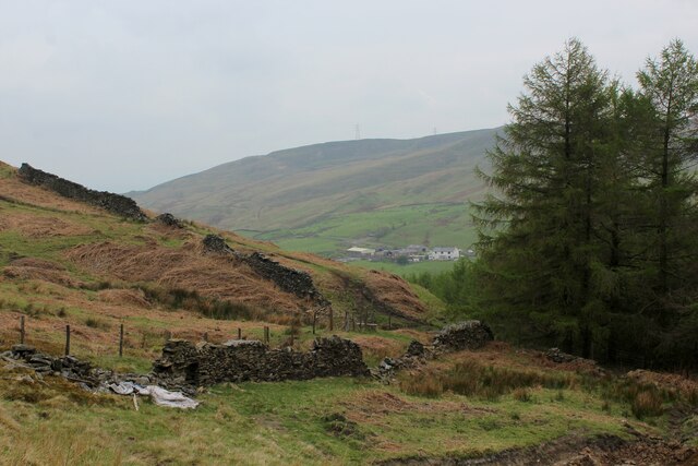
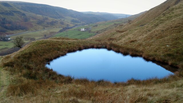
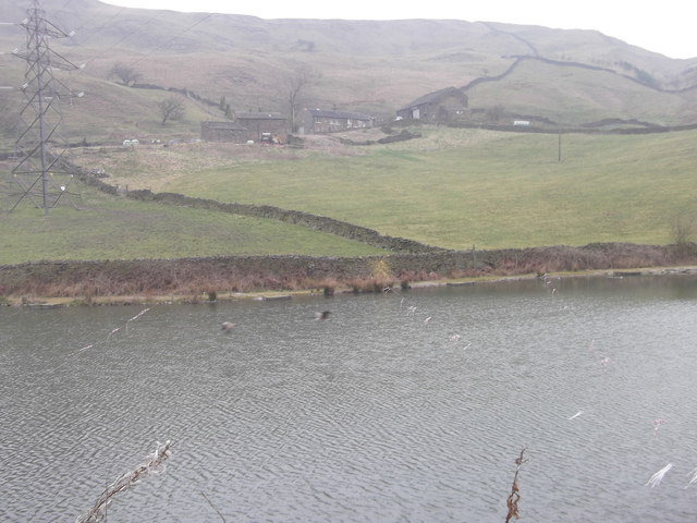
Shore is a small village located in the county of Yorkshire, England. Situated on the eastern coast, it is part of the larger civil parish of Shore and Humberston. The village is nestled between the North Sea to the east and the Humber Estuary to the west, offering picturesque views of the water and surrounding countryside.
Shore has a rich history dating back centuries. It was once a bustling fishing village, with its economy centered around the sea trade and maritime activities. Over time, the village has evolved into a residential area, attracting both locals and tourists seeking a peaceful coastal retreat.
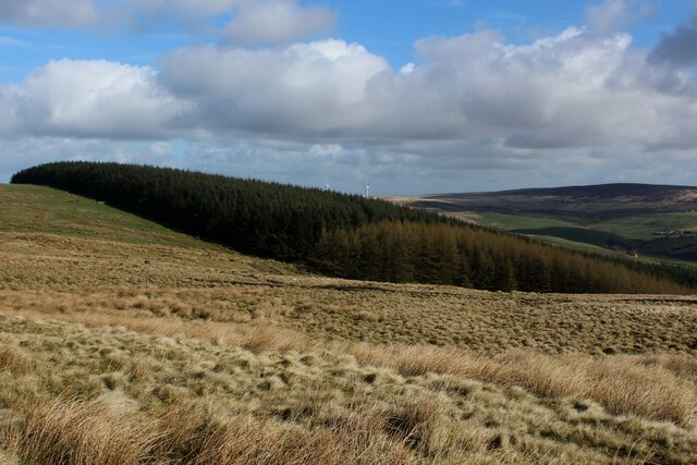
The village is characterized by its charming architecture, featuring a mix of traditional cottages and modern houses. Its tranquil atmosphere and natural beauty make it a popular destination for those looking to escape the hustle and bustle of city life. Visitors can enjoy long walks along the sandy beach, explore the nearby nature reserves, or simply relax in one of the village's quaint cafes.
Despite its small size, Shore has a strong sense of community. The village hosts various local events and activities throughout the year, bringing residents together. It also boasts a range of amenities, including a village hall, a primary school, and a few shops and pubs.
Overall, Shore offers a serene coastal experience with its idyllic setting, rich heritage, and welcoming community. It is a place where visitors can immerse themselves in nature, enjoy the tranquility of the sea, and appreciate the charm of a traditional English village.
If you have any feedback on the listing, please let us know in the comments section below.
Shore Images
Images are sourced within 2km of 53.736699/-2.13383 or Grid Reference SD9126. Thanks to Geograph Open Source API. All images are credited.


Shore is located at Grid Ref: SD9126 (Lat: 53.736699, Lng: -2.13383)
Division: West Riding
Unitary Authority: Calderdale
Police Authority: West Yorkshire
What 3 Words
///chats.album.purchaser. Near Cornholme, West Yorkshire
Nearby Locations
Related Wikis

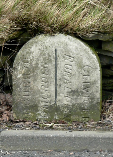
Pudsey, Calderdale
Pudsey is a neighbourhood in the village of Cornholme, Calderdale, West Yorkshire, England. It is near the town of Todmorden and the A646 Burnley Road...

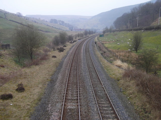
Cornholme railway station
Cornholme railway station served the village of Cornholme in West Yorkshire, England on the Copy Pit line. The station was opened by the Lancashire and...

Cornholme
Cornholme is a village near Todmorden, in the metropolitan borough of Calderdale, in West Yorkshire, England. It lies at the edge of Calderdale, on the...

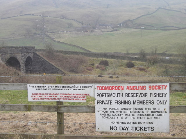
Portsmouth (Lancs) railway station
Portsmouth railway station was on the Copy Pit line and served the village of Portsmouth, which was part of Lancashire, before being incorporated into...
Nearby Amenities
Located within 500m of 53.736699,-2.13383Have you been to Shore?
Leave your review of Shore below (or comments, questions and feedback).