Obadiah Wood
Wood, Forest in Yorkshire
England
Obadiah Wood
Obadiah Wood, Yorkshire (also known as Wood, Forest) is a quaint village nestled in the heart of Yorkshire, England. With a population of approximately 500 residents, this idyllic village offers a peaceful and serene setting for its inhabitants.
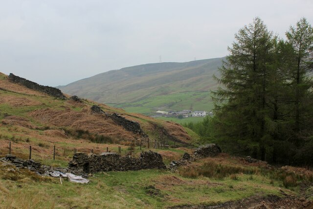
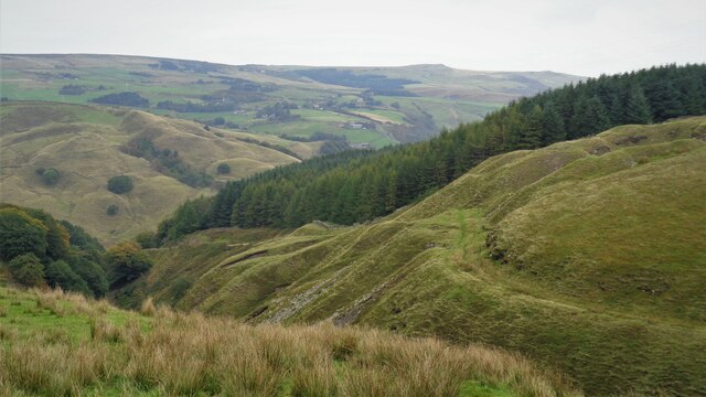
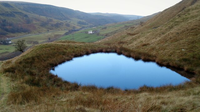
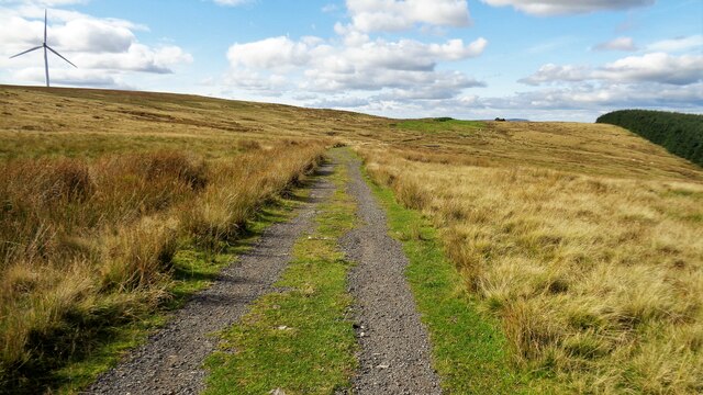
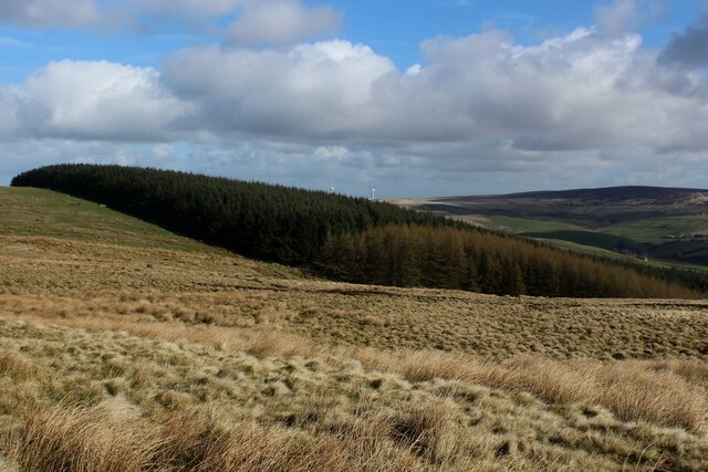
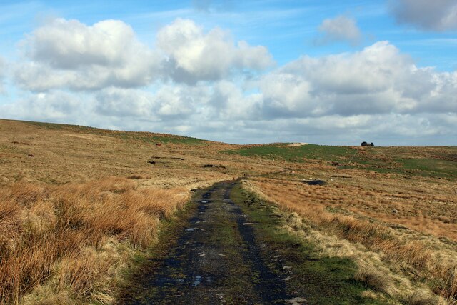
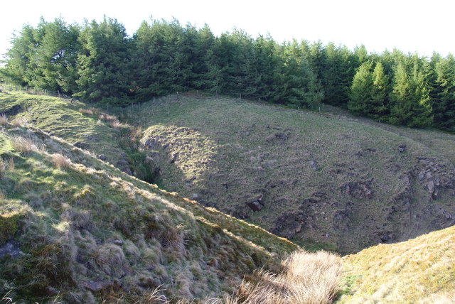
The village is renowned for its abundant woodlands and lush greenery, offering residents and visitors alike a chance to immerse themselves in the beauty of nature. The woodlands in Obadiah Wood are a haven for wildlife enthusiasts, attracting various species of birds, mammals, and insects. The forested areas provide excellent opportunities for hiking, walking, and exploring, making it a popular destination for outdoor enthusiasts.
Despite its small size, Obadiah Wood boasts a close-knit community that takes great pride in maintaining the village's charm and character. The local residents are known for their warm and friendly nature, often organizing community events and gatherings to foster a sense of unity.
The village also has a rich history, with several historical landmarks scattered throughout the area. The Obadiah Wood Church, a beautiful stone structure dating back to the 12th century, stands as a testament to the village's heritage. Additionally, the Wood Manor, a grand estate built in the 18th century, adds to the village's architectural beauty.
Obadiah Wood is well-connected to nearby towns and cities, with excellent transport links and a range of amenities. The village boasts a primary school, a village hall, and a few local shops catering to the needs of its residents.
In conclusion, Obadiah Wood, Yorkshire (Wood, Forest) offers a picturesque setting, a close-knit community, and ample opportunities to explore nature, making it a delightful place to live or visit for those seeking tranquility and natural beauty.
If you have any feedback on the listing, please let us know in the comments section below.
Obadiah Wood Images
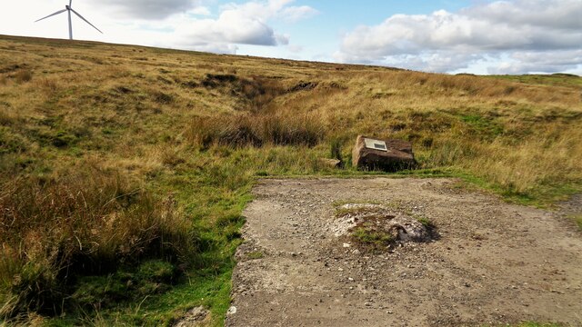
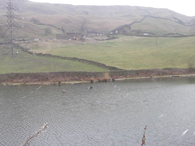
Images are sourced within 2km of 53.733592/-2.1346466 or Grid Reference SD9126. Thanks to Geograph Open Source API. All images are credited.


Obadiah Wood is located at Grid Ref: SD9126 (Lat: 53.733592, Lng: -2.1346466)
Division: West Riding
Unitary Authority: Calderdale
Police Authority: West Yorkshire
What 3 Words
///sanded.nurture.splashes. Near Cornholme, West Yorkshire
Nearby Locations
Related Wikis

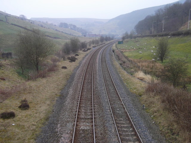
Cornholme railway station
Cornholme railway station served the village of Cornholme in West Yorkshire, England on the Copy Pit line. The station was opened by the Lancashire and...

Pudsey, Calderdale
Pudsey is a neighbourhood in the village of Cornholme, Calderdale, West Yorkshire, England. It is near the town of Todmorden and the A646 Burnley Road...

Cornholme
Cornholme is a village near Todmorden, in the metropolitan borough of Calderdale, in West Yorkshire, England. It lies at the edge of Calderdale, on the...

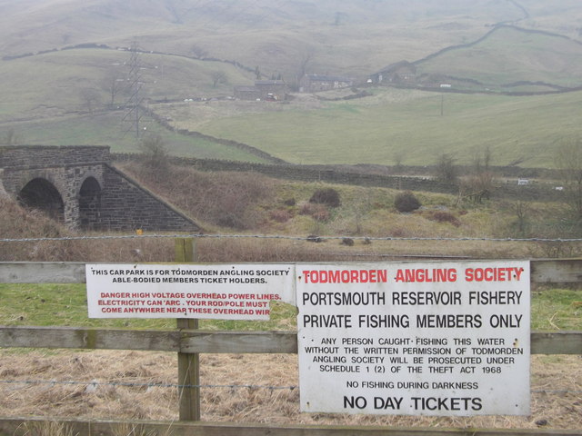
Portsmouth (Lancs) railway station
Portsmouth railway station was on the Copy Pit line and served the village of Portsmouth, which was part of Lancashire, before being incorporated into...
Nearby Amenities
Located within 500m of 53.733592,-2.1346466Have you been to Obadiah Wood?
Leave your review of Obadiah Wood below (or comments, questions and feedback).