Manor Wood

Wood, Forest in Dorset

England

Manor Wood

Drax wall and Stag Gate, Charborough Park Part of the long wall around the deer park, and a rear view of the stag on the top of the gateway
Drax wall and Stag Gate, Charborough Park Credit: David Smith

Manor Wood is a picturesque forest located in the county of Dorset, England. Spanning over several acres, this wooded area is known for its stunning natural beauty and diverse range of flora and fauna.

The wood is primarily composed of deciduous trees, including oak, beech, and ash, which provide a vibrant and ever-changing display of colors throughout the year. These towering trees create a dense canopy overhead, casting dappled sunlight on the forest floor below.

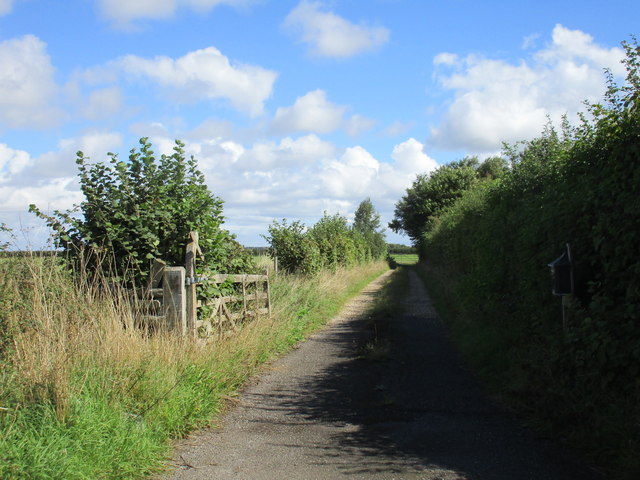
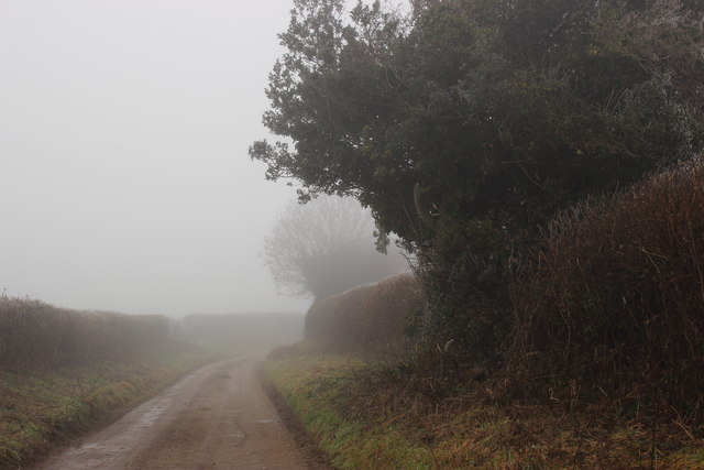
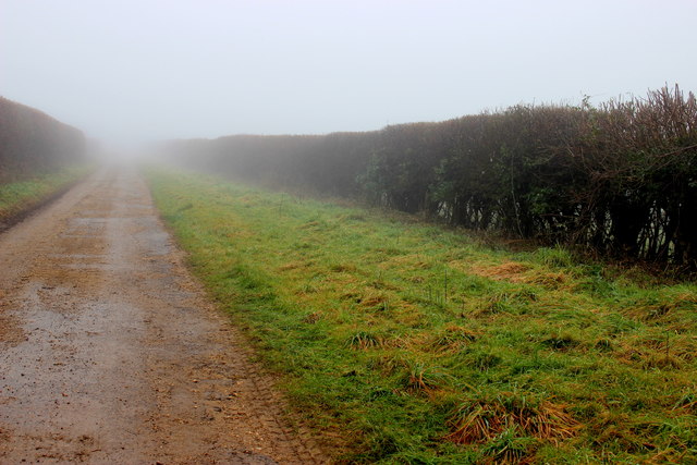
Walking through Manor Wood, visitors are greeted with a peaceful and tranquil atmosphere. The forest is crisscrossed by a network of well-maintained trails, allowing hikers and nature enthusiasts to explore the area at their own pace. The trails wind through the wood, leading visitors to discover hidden clearings, babbling brooks, and enchanting wildlife.

Wildlife thrives in Manor Wood, with a variety of species calling the forest their home. Birdwatchers will be delighted by the frequent sightings of woodland birds, such as woodpeckers, nuthatches, and thrushes. Deer, foxes, and rabbits can also be spotted, adding to the enchanting experience of being surrounded by nature.

Manor Wood is a popular destination for outdoor activities such as picnicking, photography, and nature walks. The peaceful ambiance and stunning scenery make it an ideal spot for relaxation and rejuvenation. Whether you are a nature lover, a wildlife enthusiast, or simply seeking a serene escape from the hustle and bustle of everyday life, Manor Wood is a must-visit destination in Dorset.

If you have any feedback on the listing, please let us know in the comments section below.
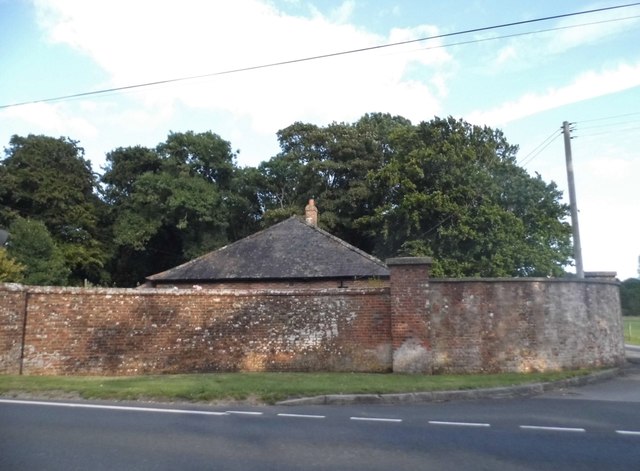
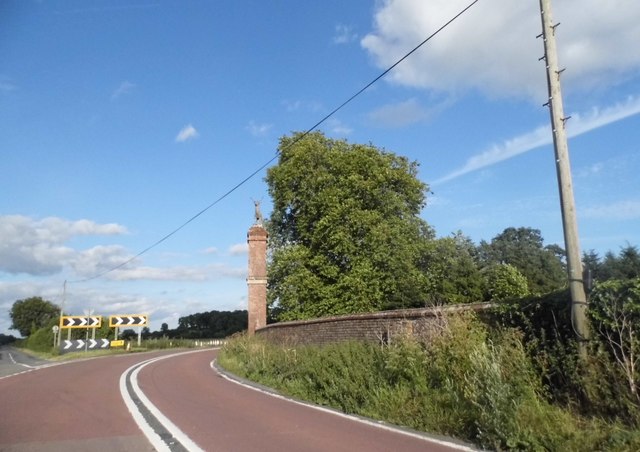
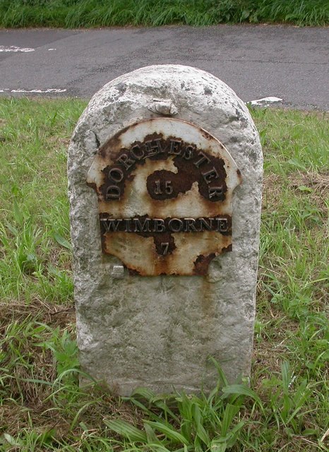
Manor Wood Images

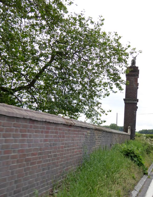
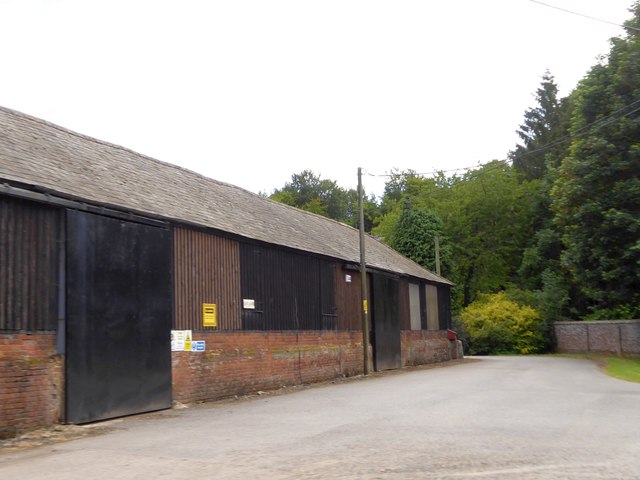
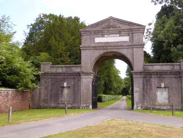
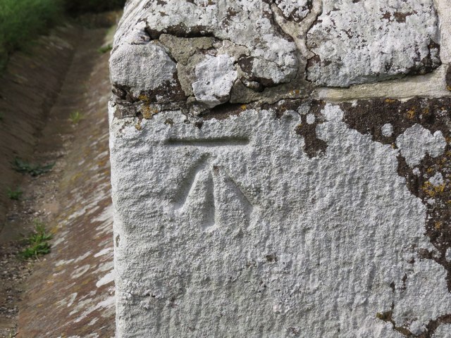
Images are sourced within 2km of 50.792811/-2.1259915 or Grid Reference SY9199. Thanks to Geograph Open Source API. All images are credited.

Drax wall and Stag Gate, Charborough Park Part of the long wall around the deer park, and a rear view of the stag on the top of the gateway
Drax wall and Stag Gate, Charborough Park
Part of the long wall around the deer park, and a rear view of the stag on the top of the gateway
Farm buildings at East Almer Farm
Main entrance to Charborough Park at Almer
Former grain silos, Bushes Farm Now seem to be used for general storage.
Former grain silos, Bushes Farm
Now seem to be used for general storage.
Track on the edge of Winterborne Zelston
View towards Bushes Farm Great Coll Wood in the distance.
View towards Bushes Farm
Great Coll Wood in the distance.
St Mary's Church, Almer
Benchmark on St Mary's Church, Almer Ordnance Survey benchmark, described on database at <span class="nowrap"><a title="http://www.bench-marks.org.uk/bm53454" rel="nofollow ugc noopener" href="http://www.bench-marks.org.uk/bm53454">Link</a><img style="margin-left:2px;" alt="External link" title="External link - shift click to open in new window" src="https://s1.geograph.org.uk/img/external.png" width="10" height="10"/></span>. See also <a href="https://www.geograph.org.uk/photo/5129860">SY9198 : St Mary's Church, Almer</a>.
Benchmark on St Mary's Church, Almer
Ordnance Survey benchmark, described on database at LinkExternal link. See also SY9198 : St Mary's Church, Almer.
The Lane to Great Coll Wood This lane leads northwest from Mapperton to close to Great Coll Wood where the road becomes an ORPA (Other route with public access). A very misty January day somewhat restricted the views.
The Lane to Great Coll Wood
This lane leads northwest from Mapperton to close to Great Coll Wood where the road becomes an ORPA (Other route with public access). A very misty January day somewhat restricted the views.
Lane near Mapperton The fog shrouded lane leads from Mapperton up to Great Coll Wood where it becomes an ORPA and then a bridle track across Charlton Down
Lane near Mapperton
The fog shrouded lane leads from Mapperton up to Great Coll Wood where it becomes an ORPA and then a bridle track across Charlton Down
Stag Gate, Charborough Park Here is the Charborough Park website summary <span class="nowrap"><a title="http://www.waymarking.com/waymarks/WM9XB5_The_Stag_on_The_Stag_Gate_Charborough_Park_Dorset_UK" rel="nofollow ugc noopener" href="http://www.waymarking.com/waymarks/WM9XB5_The_Stag_on_The_Stag_Gate_Charborough_Park_Dorset_UK">Link</a><img style="margin-left:2px;" alt="External link" title="External link - shift click to open in new window" src="https://s1.geograph.org.uk/img/external.png" width="10" height="10"/></span>
Stag Gate, Charborough Park
Here is the Charborough Park website summary LinkExternal link
Stag Gate, Charborough Park
The A31, Marsh Bridge
Gatehouse at The Kennels, Almer
The A31 at Stag Gate
Old Milestone by the A31, east of Winterborne Zelston Metal plate attached to stone post by the A31, in parish of WINTERBORNE ZELSTON (NORTH DORSET District), East of Winterborne Zelston, at junction of A31 and exit road from Worlds End Pub, on South side of road. Dorset 2 (limestone), erected by the Puddletown & Wimborne turnpike trust in the 19th century. 

Inscription reads:-
DORCHESTER
15
WIMBORNE
7

Grade II Listed. List Entry Number:1304591
<span class="nowrap"><a title="https://historicengland.org.uk/listing/the-list/list-entry/1304591" rel="nofollow ugc noopener" href="https://historicengland.org.uk/listing/the-list/list-entry/1304591">Link</a><img style="margin-left:2px;" alt="External link" title="External link - shift click to open in new window" src="https://s1.geograph.org.uk/img/external.png" width="10" height="10"/></span>

Milestone Society National ID: DO_DOWB15.
Old Milestone by the A31, east of Winterborne Zelston
Metal plate attached to stone post by the A31, in parish of WINTERBORNE ZELSTON (NORTH DORSET District), East of Winterborne Zelston, at junction of A31 and exit road from Worlds End Pub, on South side of road. Dorset 2 (limestone), erected by the Puddletown & Wimborne turnpike trust in the 19th century. Inscription reads:- DORCHESTER 15 WIMBORNE 7 Grade II Listed. List Entry Number:1304591 LinkExternal link Milestone Society National ID: DO_DOWB15.
Old Other Stone on East Almer Lodge, Charborough Park, Sturminster Marshall Commemorative Marker by the A31, in parish of Sturminster Marshall (East Dorset District), Charborough Park, East Almer Lodge, set back from road.

Inscription reads:-
This Road from Wimborne to Dorchester was projected
and completed through the instrumentality of
J S W SAWBRIDGE ERLE DRAX Esq MP
in the Years 1811 and 1812. 

The lodge is Grade II listed.
List Entry Number: 1249743 <span class="nowrap"><a title="https://historicengland.org.uk/listing/the-list/list-entry/1249743" rel="nofollow ugc noopener" href="https://historicengland.org.uk/listing/the-list/list-entry/1249743">Link</a><img style="margin-left:2px;" alt="External link" title="External link - shift click to open in new window" src="https://s1.geograph.org.uk/img/external.png" width="10" height="10"/></span>

Surveyed

Milestone Society National ID: DO_DOWB16cm
Old Other Stone on East Almer Lodge, Charborough Park, Sturminster Marshall
Commemorative Marker by the A31, in parish of Sturminster Marshall (East Dorset District), Charborough Park, East Almer Lodge, set back from road. Inscription reads:- This Road from Wimborne to Dorchester was projected and completed through the instrumentality of J S W SAWBRIDGE ERLE DRAX Esq MP in the Years 1811 and 1812. The lodge is Grade II listed. List Entry Number: 1249743 LinkExternal link Surveyed Milestone Society National ID: DO_DOWB16cm
Show me another place!

Manor Wood is located at Grid Ref: SY9199 (Lat: 50.792811, Lng: -2.1259915)

Unitary Authority: Dorset

Police Authority: Dorset

What 3 Words

///divisions.treetop.outhouse. Near Sturminster Marshall, Dorset

Related Wikis

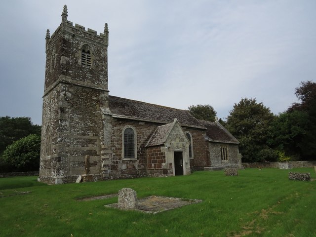
Church of St Mary, Almer, Dorset

Church of Mary is a Grade I listed church in Almer, Dorset, England. It became a listed building on 18 March 1955. According to Arthur Mee's The King...

Almer

Almer is a village and former civil parish, now in the parish of Sturminster Marshall, in the Dorset district, in the ceremonial county of Dorset, England...

Charborough House

Charborough House, also known as Charborough Park, is a Grade I listed building, the manor house of the ancient manor of Charborough. The house is between...

Winterborne Zelston

Winterborne Zelston is a village and civil parish in north Dorset, England. It is situated in a winterbourne valley on the A31 road eight miles (thirteen...

Nearby Amenities

Located within 500m of 50.792811,-2.1259915
Almer
Is In: Dorset, England, UK
Place: hamlet
Wikidata: Q4733778
Lat/Long: 50.7905451/-2.1237559
Material: wood
Power: pole
Source: bing
Lat/Long: 50.7912292/-2.1246648
Material: wood
Power: pole
Source: bing
Lat/Long: 50.7918378/-2.1242149
Material: wood
Power: pole
Source: bing
Lat/Long: 50.7922885/-2.1244623
Material: wood
Power: pole
Source: bing
Lat/Long: 50.7927156/-2.1247203
Material: wood
Power: pole
Source: bing
Lat/Long: 50.7934892/-2.1251956
Material: wood
Power: pole
Source: bing
Lat/Long: 50.7942691/-2.125664
Material: wood
Power: pole
Source: bing
Lat/Long: 50.7949705/-2.1260843
Material: wood
Power: pole
Source: bing
Lat/Long: 50.7956095/-2.1264746
Material: wood
Power: pole
Source: bing
Lat/Long: 50.7963976/-2.1269437
Material: wood
Power: pole
Source: bing
Lat/Long: 50.7885659/-2.1239636
Material: wood
Power: pole
Source: bing
Lat/Long: 50.7888633/-2.1243814
Material: wood
Power: pole
Source: bing
Lat/Long: 50.7892195/-2.1257739
Material: wood
Power: pole
Source: bing
Transformer: distribution
Lat/Long: 50.7902866/-2.1246727
Material: wood
Power: pole
Source: bing
Lat/Long: 50.7906267/-2.125122
Material: wood
Power: pole
Source: bing
Lat/Long: 50.7920204/-2.1229616
Material: wood
Power: pole
Source: bing
Lat/Long: 50.7922218/-2.1213939
Material: wood
Power: pole
Source: bing
Lat/Long: 50.7924165/-2.1199803
Post Box
Collection Times: Mo-Fr 12:15; Sa 11:30
Operator: Royal Mail
Post Box Mounting: pier
Post Box Type: lamp
Ref: DT11 74
Ref GB Uprn: 10015460907
Royal Cypher: EIIR
Royal Cypher Wikidata: Q33102113
Lat/Long: 50.7896762/-2.1249157
Material: wood
Power: pole
Source: bing
Lat/Long: 50.7901506/-2.1259502
The data included in this document is from www.openstreetmap.org. The data is made available under ODbL.

Have you been to Manor Wood?

Leave your review of Manor Wood below (or comments, questions and feedback).