Town End
Settlement in Yorkshire
England
Town End
Town End is a picturesque village located in the heart of Yorkshire, England. Situated in the Ryedale district, it is nestled within the stunning North York Moors National Park. With a population of around 500 residents, Town End offers a peaceful and close-knit community atmosphere.
The village boasts a rich history dating back to the medieval period, evident in its well-preserved architecture. Traditional stone cottages line the narrow streets, creating a charming and timeless ambiance. The local church, St. Mary's, is a notable landmark, dating back to the 12th century, and its historic graveyard provides a serene resting place for many generations.
Nature enthusiasts will find themselves in awe of the surrounding natural beauty. The village is surrounded by rolling hills, lush green meadows, and enchanting woodland. It serves as a gateway to the expansive moorlands, offering ample opportunities for hiking, cycling, and wildlife spotting. The nearby River Derwent meanders through the countryside, providing a tranquil spot for fishing and picnicking.
Although Town End primarily caters to its local inhabitants, it does offer a few amenities. The village pub, The Black Bull, is a popular gathering spot, serving up delicious traditional pub fare and a selection of local ales. Additionally, a small community shop provides essential groceries and supplies.
Overall, Town End, Yorkshire offers a peaceful retreat for those seeking a slower pace of life and an appreciation for natural beauty and historical charm.
If you have any feedback on the listing, please let us know in the comments section below.
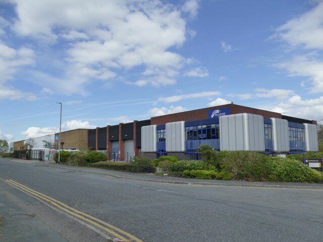
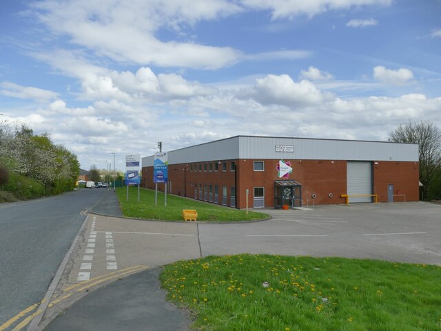
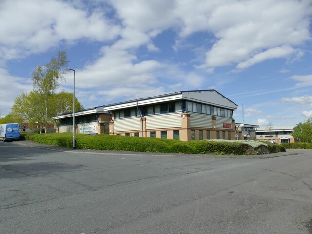
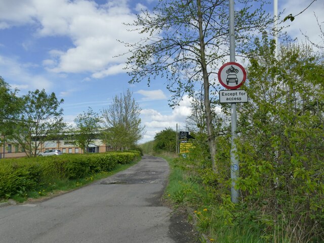
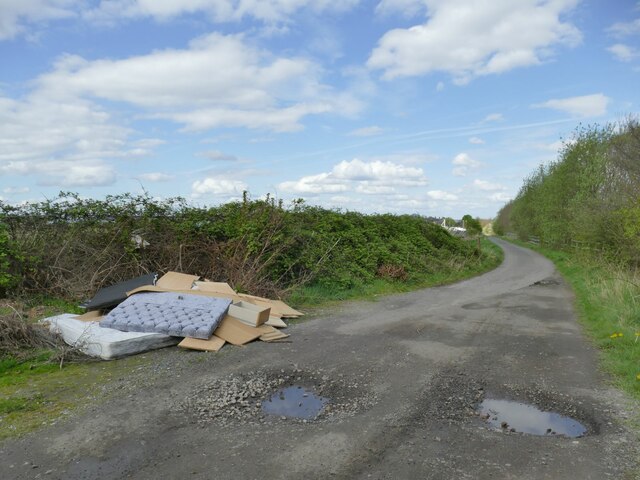
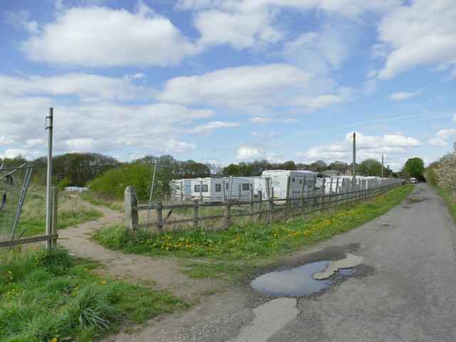
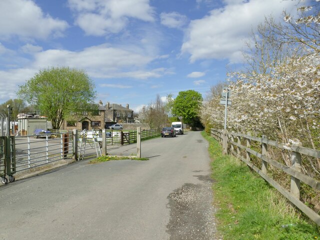
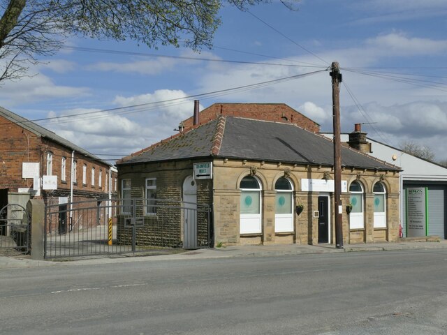
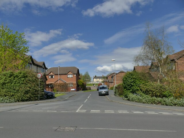
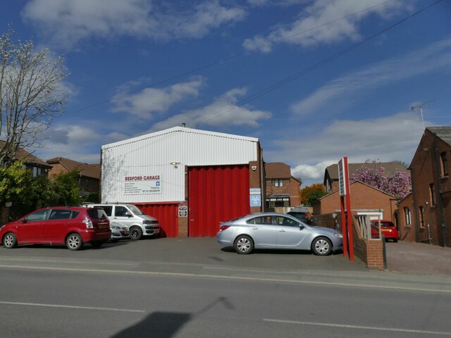
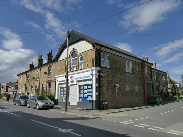
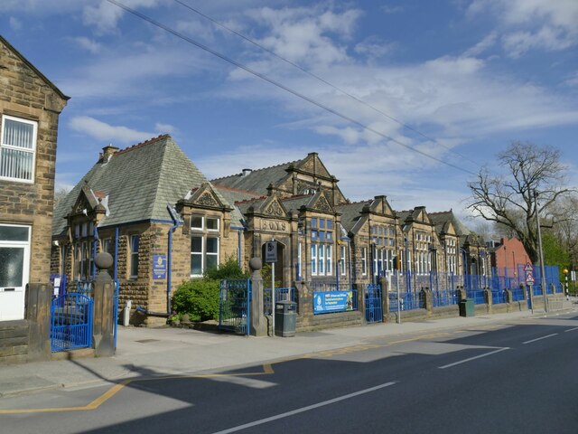
Town End Images
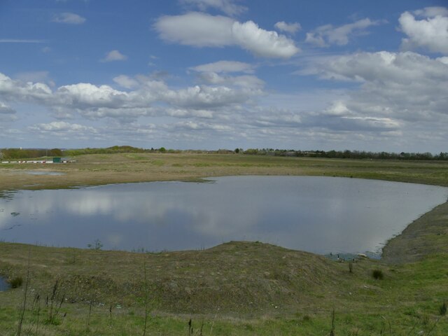
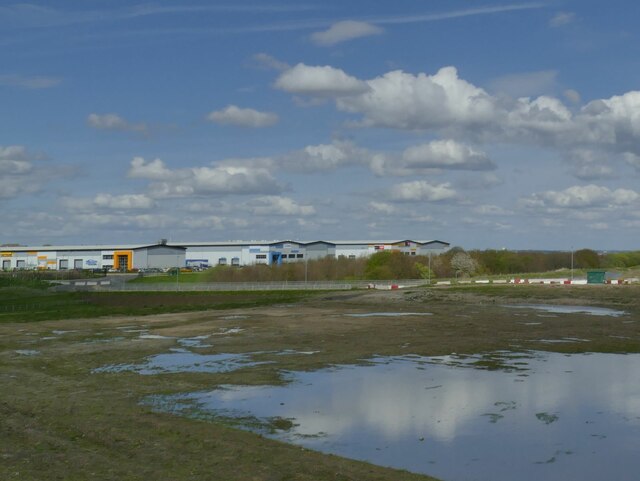
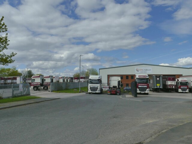
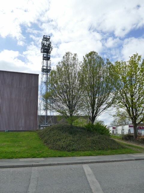
Images are sourced within 2km of 53.743296/-1.599679 or Grid Reference SE2627. Thanks to Geograph Open Source API. All images are credited.


Town End is located at Grid Ref: SE2627 (Lat: 53.743296, Lng: -1.599679)
Division: West Riding
Unitary Authority: Leeds
Police Authority: West Yorkshire
What 3 Words
///drag.united.gets. Near Morley, West Yorkshire
Nearby Locations
Related Wikis

The Morley Academy
The Morley Academy is a mixed secondary school located in Morley, West Yorkshire, England.The school forms part of the Gorse Academies Trust which also...
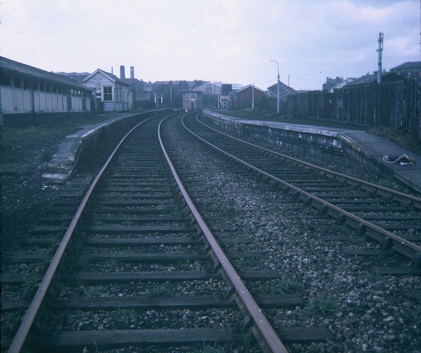
Morley Top railway station
Morley Top railway station served the town of Morley, West Yorkshire, England, from 1857 to 1969 on the Leeds, Bradford and Halifax Junction Railway....
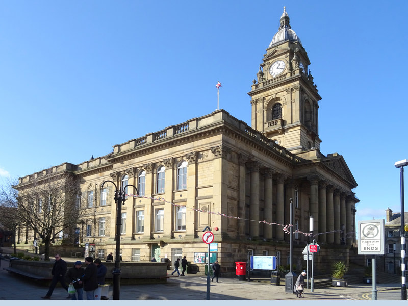
Morley Town Hall
Morley Town Hall is a municipal facility in Morley, West Yorkshire, England. The town hall, which is the meeting place of Morley Town Council, is a Grade...
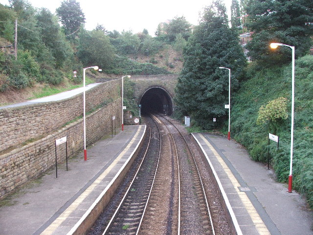
Morley Tunnel
Morley Tunnel is a railway tunnel in West Yorkshire, England, situated between Morley and Batley railway stations on the Huddersfield line. From its northern...
Nearby Amenities
Located within 500m of 53.743296,-1.599679Have you been to Town End?
Leave your review of Town End below (or comments, questions and feedback).