Morley
Civil Parish in Yorkshire Leeds
England
Morley
Morley is a civil parish located in the county of Yorkshire, England. Situated approximately 5 miles south-west of Leeds city center, Morley covers an area of about 9.5 square miles. The civil parish is bordered by several other towns and villages, including Batley to the east, Churwell to the south-east, and Gildersome to the west.
With a population of over 44,000 people, Morley is a thriving community with a rich history dating back to the medieval period. The town's origins can be traced to its proximity to the River Calder, which provided a vital water source and transportation route for the development of industries such as textile manufacturing and coal mining. These industries played a significant role in shaping Morley's economy and contributed to its growth and prosperity.
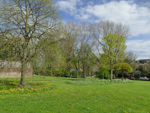
Today, Morley maintains a strong sense of community and offers a range of amenities and facilities to its residents. The town center hosts a variety of shops, restaurants, and local businesses, catering to both everyday needs and leisure activities. Additionally, Morley boasts several parks and green spaces, providing recreational opportunities for outdoor enthusiasts.
Transport links in Morley are well-developed, with easy access to major roads and motorways, including the M62 and M1. The town also benefits from regular bus services and a railway station, connecting it to neighboring towns and cities.
Overall, Morley is a vibrant and historic civil parish, offering a blend of modern amenities and a strong sense of community spirit.
If you have any feedback on the listing, please let us know in the comments section below.
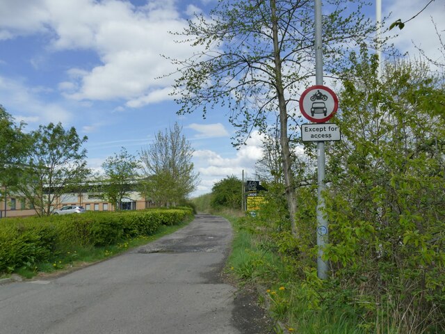
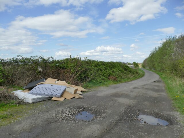
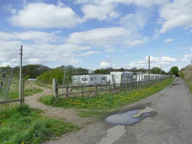
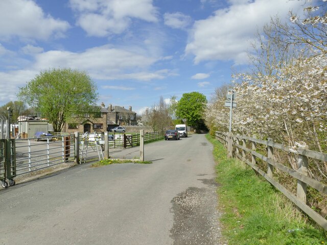
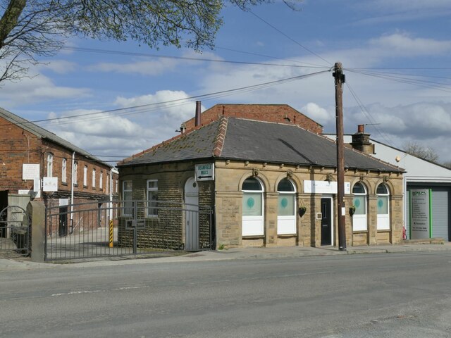
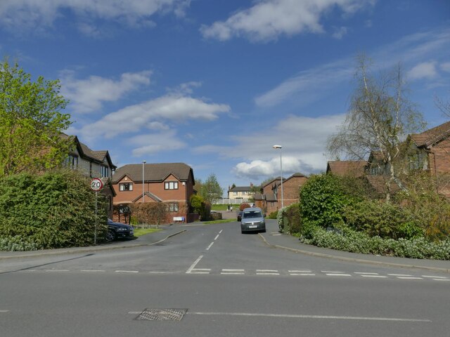
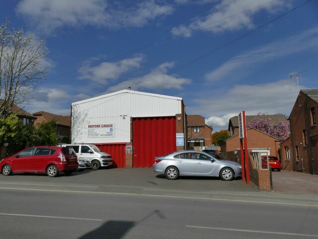
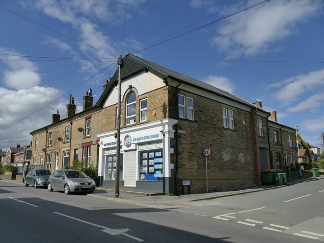
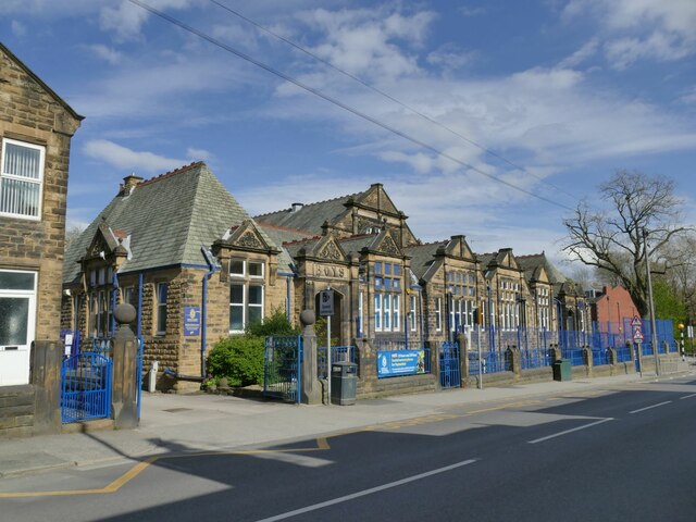
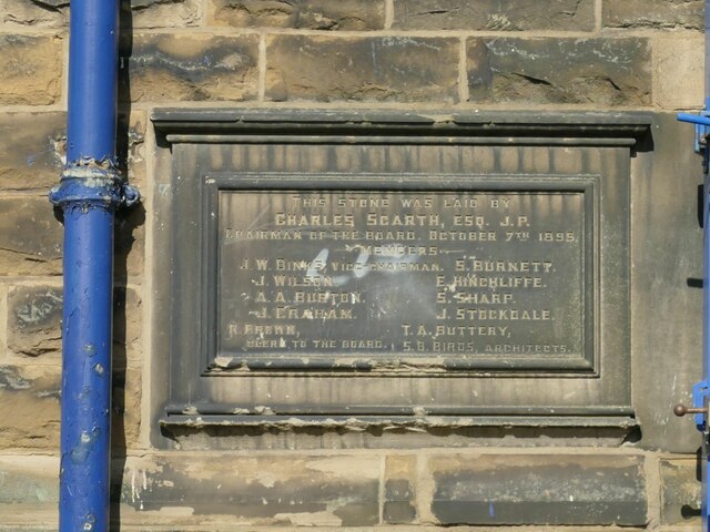
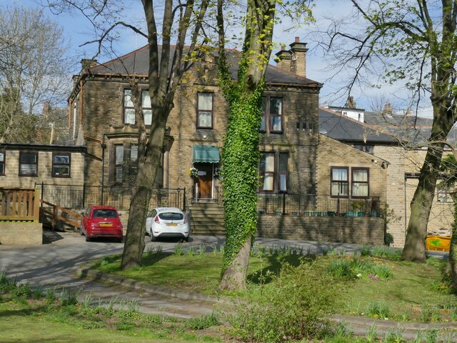
Morley Images
Images are sourced within 2km of 53.740598/-1.599129 or Grid Reference SE2627. Thanks to Geograph Open Source API. All images are credited.


Morley is located at Grid Ref: SE2627 (Lat: 53.740598, Lng: -1.599129)
Division: West Riding
Administrative County: West Yorkshire
District: Leeds
Police Authority: West Yorkshire
What 3 Words
///hugs.powers.sling. Near Morley, West Yorkshire
Nearby Locations
Related Wikis
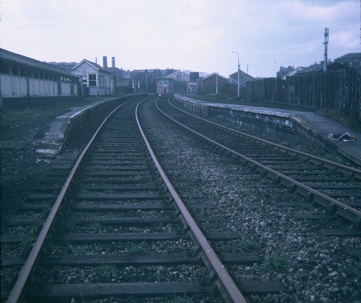
Morley Top railway station
Morley Top railway station served the town of Morley, West Yorkshire, England, from 1857 to 1969 on the Leeds, Bradford and Halifax Junction Railway....
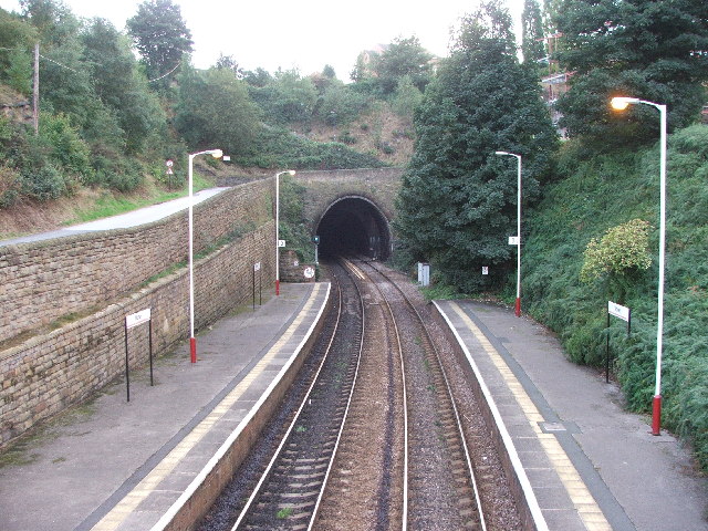
Morley Tunnel
Morley Tunnel is a railway tunnel in West Yorkshire, England, situated between Morley and Batley railway stations on the Huddersfield line. From its northern...

The Morley Academy
The Morley Academy is a mixed secondary school located in Morley, West Yorkshire, England.The school forms part of the Gorse Academies Trust which also...
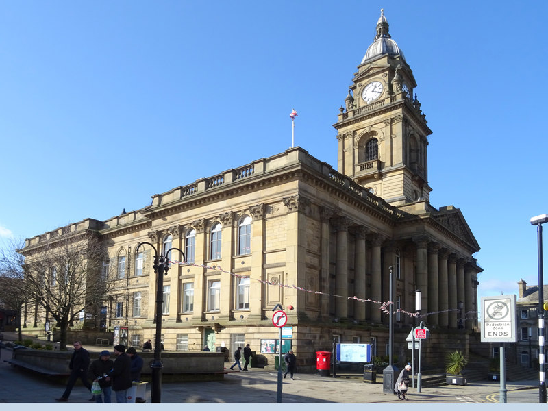
Morley Town Hall
Morley Town Hall is a municipal facility in Morley, West Yorkshire, England. The town hall, which is the meeting place of Morley Town Council, is a Grade...
Nearby Amenities
Located within 500m of 53.740598,-1.599129Have you been to Morley?
Leave your review of Morley below (or comments, questions and feedback).