Morley

Civil Parish in Norfolk South Norfolk

England

Morley

The A11 west passing under Silver Street bridge, Wymondham
The A11 west passing under Silver Street bridge, Wymondham Credit: Roy Hughes

Morley is a civil parish located in the county of Norfolk, England. Situated approximately 10 miles southwest of the city of Norwich, Morley covers an area of around 7 square miles. The parish is part of the South Norfolk district and is surrounded by the parishes of Wicklewood, Deopham, Hackford, Morley St. Botolph, and Hingham.

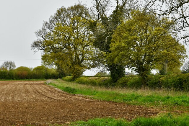
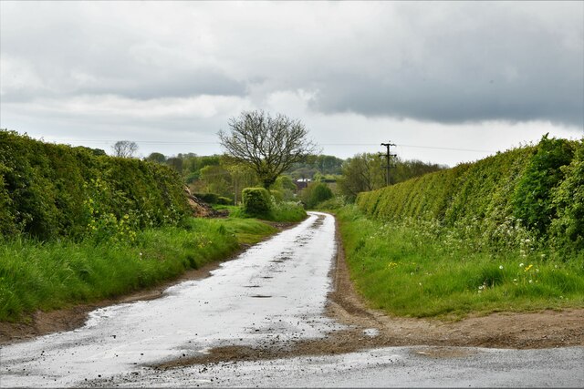
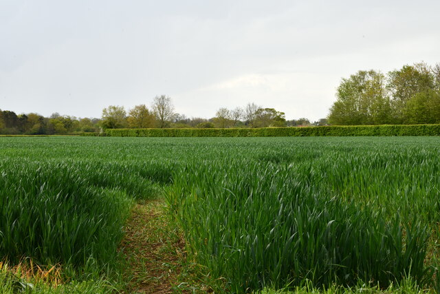
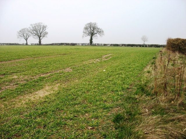
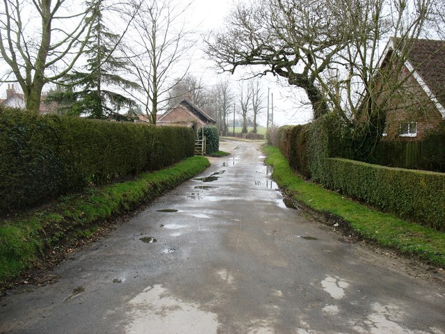
Morley is a rural area characterized by its picturesque countryside landscape, with a mix of farmland, meadows, and woodland. The village itself is small, with a population of around 500 residents. It is known for its charming and traditional architectural style, with several historic buildings dotting the village, including the Grade I listed Morley Old Hall, a 16th-century manor house.

The parish has a strong sense of community, with a range of amenities and services available to its residents. These include a village hall, a primary school, a church, and a public house. The local economy is predominantly based on agriculture, with farming being a key industry in the area.

Morley is also blessed with natural beauty, with the River Yare flowing through the parish, providing opportunities for recreational activities such as boating and fishing. The countryside surroundings offer ample opportunities for outdoor pursuits, including walking, cycling, and birdwatching.

Overall, Morley is a tranquil and idyllic village that offers a peaceful and rural lifestyle, while still being within easy reach of larger towns and cities.

If you have any feedback on the listing, please let us know in the comments section below.
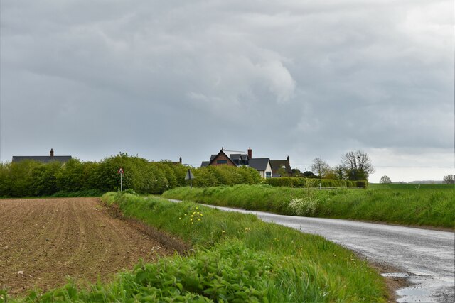
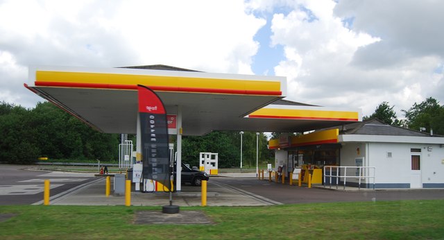
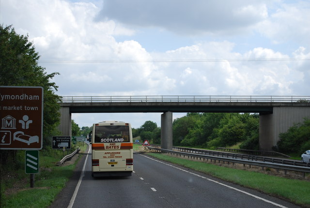
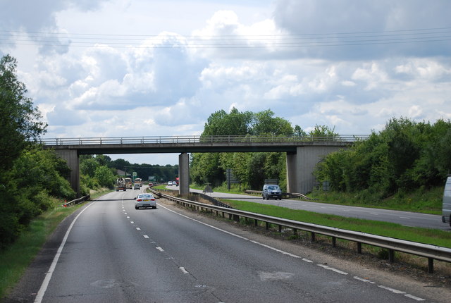
Morley Images

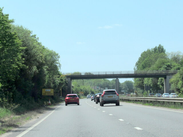
Images are sourced within 2km of 52.550158/1.046328 or Grid Reference TM0699. Thanks to Geograph Open Source API. All images are credited.

The A11 west passing under Silver Street bridge, Wymondham
Morley: Ploughed field
Study of a Gasoline Station Shell, A11 Attleborough Bypass.

 This photograph is part of a series taken in homage to the American artist Ed Ruscha's 1963 publication of 'Twentysix Gasoline Stations'.
 More properly known as filling stations in the UK, I am attempting to photograph as many as possible to mark the sixty year anniversary.
Study of a Gasoline Station
Shell, A11 Attleborough Bypass. This photograph is part of a series taken in homage to the American artist Ed Ruscha's 1963 publication of 'Twentysix Gasoline Stations'. More properly known as filling stations in the UK, I am attempting to photograph as many as possible to mark the sixty year anniversary.
Morley: New Road
Morley: New Road
Morley: Cereal crop
Morley: Cereal crop
Morley: Morleyfield Lane Crossroad
Filling station by the A11 Part of a service area.
Filling station by the A11
Part of a service area.
Silver Street Bridge, A11 The A11 is a major road in Eastern England. It runs roughly north east for 111 miles from London to Norwich, With the M11 opening in the 1970s and then the A12 extension in 1999, a lengthy section has been downgraded between the suburbs of east London and the north-west corner of the county of Essex. It also overlaps with the A14 on the Newmarket bypass.
<span class="nowrap"><a title="http://www.sabre-roads.org.uk/wiki/index.php?title=A11" rel="nofollow ugc noopener" href="http://www.sabre-roads.org.uk/wiki/index.php?title=A11">Link</a><img style="margin-left:2px;" alt="External link" title="External link - shift click to open in new window" src="https://s1.geograph.org.uk/img/external.png" width="10" height="10"/></span>
Silver Street Bridge, A11
The A11 is a major road in Eastern England. It runs roughly north east for 111 miles from London to Norwich, With the M11 opening in the 1970s and then the A12 extension in 1999, a lengthy section has been downgraded between the suburbs of east London and the north-west corner of the county of Essex. It also overlaps with the A14 on the Newmarket bypass. LinkExternal link
A11, Silver Street Bridge The A11 is a major road in Eastern England. It runs roughly north east for 111 miles from London to Norwich, With the M11 opening in the 1970s and then the A12 extension in 1999, a lengthy section has been downgraded between the suburbs of east London and the north-west corner of the county of Essex. It also overlaps with the A14 on the Newmarket bypass.
<span class="nowrap"><a title="http://www.sabre-roads.org.uk/wiki/index.php?title=A11" rel="nofollow ugc noopener" href="http://www.sabre-roads.org.uk/wiki/index.php?title=A11">Link</a><img style="margin-left:2px;" alt="External link" title="External link - shift click to open in new window" src="https://s1.geograph.org.uk/img/external.png" width="10" height="10"/></span>
A11, Silver Street Bridge
The A11 is a major road in Eastern England. It runs roughly north east for 111 miles from London to Norwich, With the M11 opening in the 1970s and then the A12 extension in 1999, a lengthy section has been downgraded between the suburbs of east London and the north-west corner of the county of Essex. It also overlaps with the A14 on the Newmarket bypass. LinkExternal link
A11, Wyndham College turning The A11 is a major road in Eastern England. It runs roughly north east for 111 miles from London to Norwich, With the M11 opening in the 1970s and then the A12 extension in 1999, a lengthy section has been downgraded between the suburbs of east London and the north-west corner of the county of Essex. It also overlaps with the A14 on the Newmarket bypass.
<span class="nowrap"><a title="http://www.sabre-roads.org.uk/wiki/index.php?title=A11" rel="nofollow ugc noopener" href="http://www.sabre-roads.org.uk/wiki/index.php?title=A11">Link</a><img style="margin-left:2px;" alt="External link" title="External link - shift click to open in new window" src="https://s1.geograph.org.uk/img/external.png" width="10" height="10"/></span>
A11, Wyndham College turning
The A11 is a major road in Eastern England. It runs roughly north east for 111 miles from London to Norwich, With the M11 opening in the 1970s and then the A12 extension in 1999, a lengthy section has been downgraded between the suburbs of east London and the north-west corner of the county of Essex. It also overlaps with the A14 on the Newmarket bypass. LinkExternal link
A11, Silver Street Bridge The A11 is a major road in Eastern England. It runs roughly north east for 111 miles from London to Norwich, With the M11 opening in the 1970s and then the A12 extension in 1999, a lengthy section has been downgraded between the suburbs of east London and the north-west corner of the county of Essex. It also overlaps with the A14 on the Newmarket bypass.
<span class="nowrap"><a title="http://www.sabre-roads.org.uk/wiki/index.php?title=A11" rel="nofollow ugc noopener" href="http://www.sabre-roads.org.uk/wiki/index.php?title=A11">Link</a><img style="margin-left:2px;" alt="External link" title="External link - shift click to open in new window" src="https://s1.geograph.org.uk/img/external.png" width="10" height="10"/></span>
A11, Silver Street Bridge
The A11 is a major road in Eastern England. It runs roughly north east for 111 miles from London to Norwich, With the M11 opening in the 1970s and then the A12 extension in 1999, a lengthy section has been downgraded between the suburbs of east London and the north-west corner of the county of Essex. It also overlaps with the A14 on the Newmarket bypass. LinkExternal link
Silver Street Bridge, A11 The A11 is a major road in Eastern England. It runs roughly north east for 111 miles from London to Norwich, With the M11 opening in the 1970s and then the A12 extension in 1999, a lengthy section has been downgraded between the suburbs of east London and the north-west corner of the county of Essex. It also overlaps with the A14 on the Newmarket bypass.
<span class="nowrap"><a title="http://www.sabre-roads.org.uk/wiki/index.php?title=A11" rel="nofollow ugc noopener" href="http://www.sabre-roads.org.uk/wiki/index.php?title=A11">Link</a><img style="margin-left:2px;" alt="External link" title="External link - shift click to open in new window" src="https://s1.geograph.org.uk/img/external.png" width="10" height="10"/></span>
Silver Street Bridge, A11
The A11 is a major road in Eastern England. It runs roughly north east for 111 miles from London to Norwich, With the M11 opening in the 1970s and then the A12 extension in 1999, a lengthy section has been downgraded between the suburbs of east London and the north-west corner of the county of Essex. It also overlaps with the A14 on the Newmarket bypass. LinkExternal link
A11, Silver Street Bridge The A11 is a major road in Eastern England. It runs roughly north east for 111 miles from London to Norwich, With the M11 opening in the 1970s and then the A12 extension in 1999, a lengthy section has been downgraded between the suburbs of east London and the north-west corner of the county of Essex. It also overlaps with the A14 on the Newmarket bypass.
<span class="nowrap"><a title="http://www.sabre-roads.org.uk/wiki/index.php?title=A11" rel="nofollow ugc noopener" href="http://www.sabre-roads.org.uk/wiki/index.php?title=A11">Link</a><img style="margin-left:2px;" alt="External link" title="External link - shift click to open in new window" src="https://s1.geograph.org.uk/img/external.png" width="10" height="10"/></span>
A11, Silver Street Bridge
The A11 is a major road in Eastern England. It runs roughly north east for 111 miles from London to Norwich, With the M11 opening in the 1970s and then the A12 extension in 1999, a lengthy section has been downgraded between the suburbs of east London and the north-west corner of the county of Essex. It also overlaps with the A14 on the Newmarket bypass. LinkExternal link
Hill Road, Besthorpe
Farmland near Wymondham College
A track in Morley St Botolph
Mr D's Diner An American themed fast-food restaurant on the southbound A11, formerly home to a Little Chef outlet.
Mr D's Diner
An American themed fast-food restaurant on the southbound A11, formerly home to a Little Chef outlet.
Show me another place!

Morley is located at Grid Ref: TM0699 (Lat: 52.550158, Lng: 1.046328)

Administrative County: Norfolk

District: South Norfolk

Police Authority: Norfolk

What 3 Words

///commoners.blankets.wording. Near Attleborough, Norfolk

Nearby Locations

Morley

Related Wikis

Wymondham College

Wymondham College is a coeducational day and boarding school in Morley, near Wymondham, Norfolk, England with academy status. A former grammar school,...

Morley Saint Botolph

Morley Saint Botolph is a village and former civil parish, now in the parish of Morley, in the South Norfolk district, in the county of Norfolk, England...

Morley, Norfolk

Morley is a civil parish in the South Norfolk district, in the county of Norfolk, England. It includes the villages of Morley St Botolph and Morley St...

Morley Old Hall

Morley Old Hall is a Grade I-listed moated manor house built in the sixteenth century in the village of Morley Saint Peter, some twelve miles from the...

Nearby Amenities

Located within 500m of 52.550158,1.046328
Barrier: gap
Lat/Long: 52.5488364/1.0416364
Entrance: yes
Lat/Long: 52.5466454/1.0418894
The data included in this document is from www.openstreetmap.org. The data is made available under ODbL.

Have you been to Morley?

Leave your review of Morley below (or comments, questions and feedback).