City
Settlement in Yorkshire
England
City
City, Yorkshire is a vibrant urban area located in the historic region of Yorkshire, England. Situated on the banks of the River Aire, it is known for its rich history, cultural diversity, and bustling city life. With a population of over half a million residents, it is one of the largest cities in the county.
The cityscape of City, Yorkshire is a harmonious blend of modern architecture and preserved historical landmarks. The iconic City Hall, a grand municipal building in the heart of the city, stands as a testament to its proud heritage. Additionally, the stunning Gothic-style Cathedral, dating back to the 13th century, is a major attraction for tourists and locals alike.
City, Yorkshire offers a wide array of cultural and recreational activities. Its vibrant arts scene includes numerous theaters, art galleries, and music venues, hosting both local and international performances. The city is also home to several museums, such as the Yorkshire Museum, where visitors can explore the region's rich history and artifacts.
As a bustling metropolis, City, Yorkshire boasts a diverse culinary scene with a range of international cuisines. Its bustling markets and shopping districts offer a variety of goods, from fresh produce to trendy fashion. The city is also known for its lively nightlife, with a plethora of bars, pubs, and clubs catering to various tastes.
City, Yorkshire benefits from excellent transportation links, including a well-connected train station and an extensive bus network. It is conveniently located near major motorways, making it easily accessible from other parts of the country.
Overall, City, Yorkshire is a vibrant and culturally rich city that seamlessly blends its historical charm with modern amenities, making it an attractive destination for residents and visitors alike.
If you have any feedback on the listing, please let us know in the comments section below.
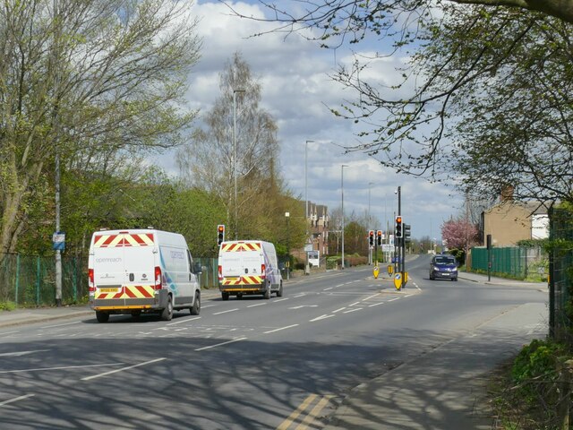
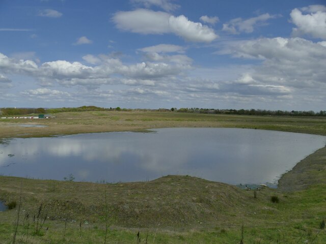
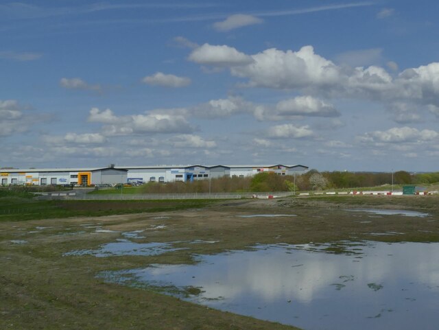
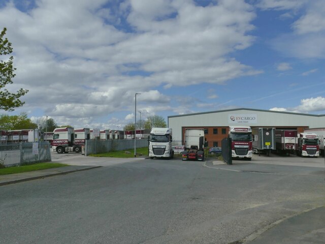
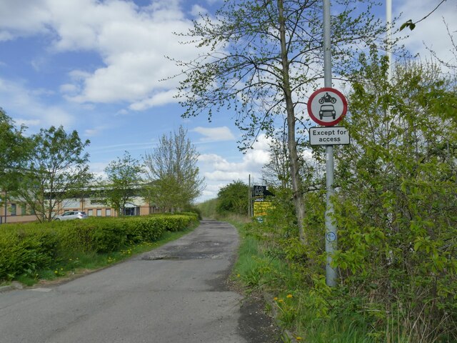
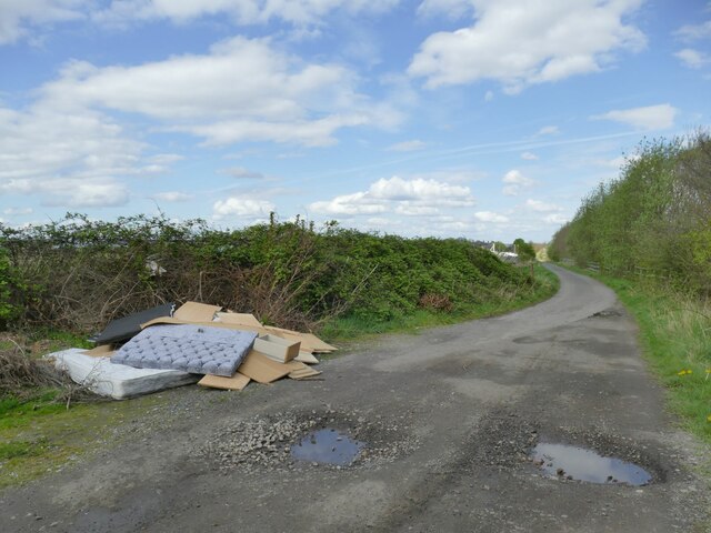
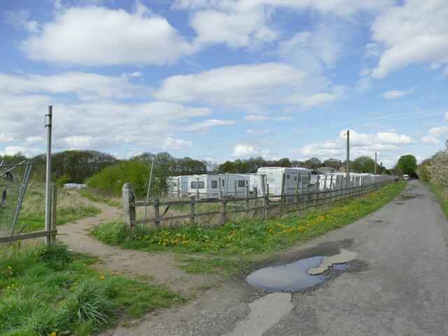
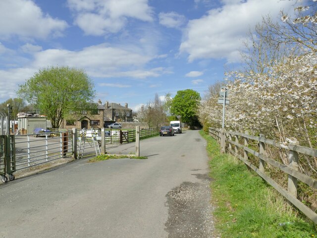
City Images
Images are sourced within 2km of 53.746071/-1.6003091 or Grid Reference SE2627. Thanks to Geograph Open Source API. All images are credited.


City is located at Grid Ref: SE2627 (Lat: 53.746071, Lng: -1.6003091)
Division: West Riding
Unitary Authority: Leeds
Police Authority: West Yorkshire
What 3 Words
///leaps.transmitted.voters. Near Morley, West Yorkshire
Nearby Locations
Related Wikis
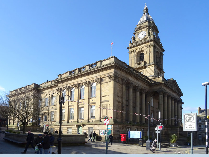
Morley Town Hall
Morley Town Hall is a municipal facility in Morley, West Yorkshire, England. The town hall, which is the meeting place of Morley Town Council, is a Grade...

St Mary's in the Wood Church, Morley
St Mary's in the Wood Church is a redundant and former United Reform Church place of worship in Morley, West Yorkshire, England. It was built in 1876...

Morley War Memorial, Scatcherd Park
The Morley War Memorial is a British national war memorial situated in Scatcherd Park, Morley, Leeds, England. Sculpted by Walter Henry Gilbert and cast...

The Morley Academy
The Morley Academy is a mixed secondary school located in Morley, West Yorkshire, England.The school forms part of the Gorse Academies Trust which also...
Related Videos


Summer Holidays☀️
Don't forget to like, share & subscribe! Follow me on Instagram sarish_nasir.

#india #viral #youtubeshorts #youtube #uk #4k #trending #reels #travel #reelsindia #foryou #indian
"Breathtaking Time-Lapse Journey Through the United Kingdom" Description: Welcome to our mesmerizing time-lapse ...

Monkey Bars | May Bank Holiday Fun
May bank holiday fun. My boy masters the swinging monkey bars...Watch till the end! Enjoy x Instagram: @protein_and_spinach ...
Nearby Amenities
Located within 500m of 53.746071,-1.6003091Have you been to City?
Leave your review of City below (or comments, questions and feedback).