Low Town End
Settlement in Yorkshire
England
Low Town End
Low Town End is a picturesque village located in the heart of Yorkshire, England. Situated in the southern region of the county, it is known for its idyllic setting and charming atmosphere. Nestled amidst rolling hills and scenic landscapes, the village offers a tranquil retreat for both locals and visitors alike.
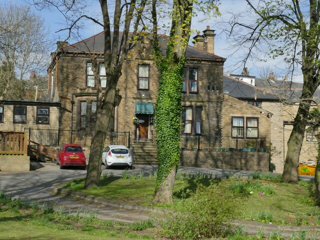
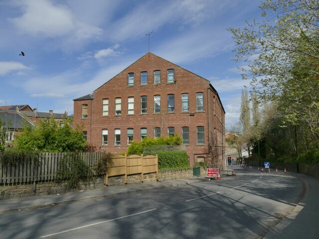
Low Town End is characterized by its traditional architecture, with many of its buildings dating back several centuries. The village is home to a small community of around 500 residents, fostering a close-knit and friendly ambiance. The main street is lined with quaint cottages and shops, adding to the village's rustic charm.
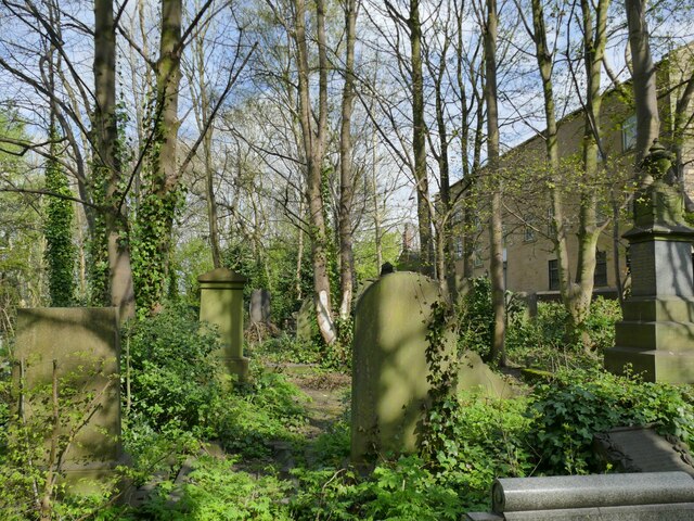
The village boasts a rich history, with evidence of its existence dating back to medieval times. It was once a thriving market town, with trade and commerce playing a significant role in its development. Today, remnants of this history can be seen in the village's historical landmarks, such as St. Peter's Church, a stunning example of Gothic architecture.
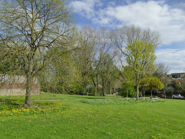
Nature enthusiasts will appreciate the surrounding countryside, which offers ample opportunities for outdoor activities. The village is a gateway to the Yorkshire Dales National Park, with its breathtaking landscapes and extensive hiking trails. The nearby River Wharfe also provides a scenic backdrop for leisurely walks and picnics.
Low Town End is well-connected to neighboring towns and cities, making it easily accessible for those wishing to explore the wider region. Its peaceful atmosphere, combined with its natural beauty and historical significance, makes it a popular destination for tourists seeking a quintessential Yorkshire experience.
If you have any feedback on the listing, please let us know in the comments section below.
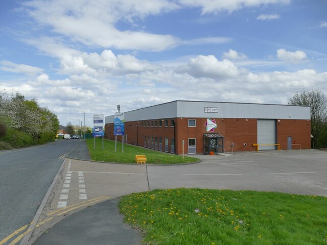
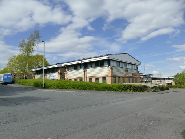
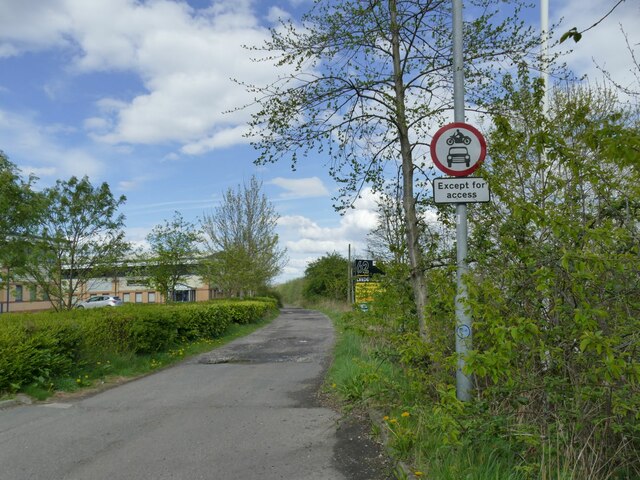
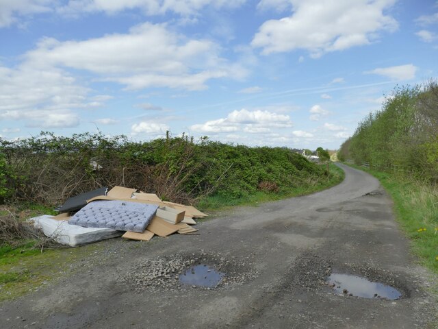
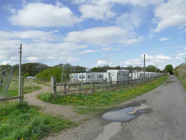
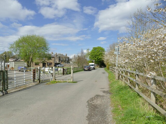
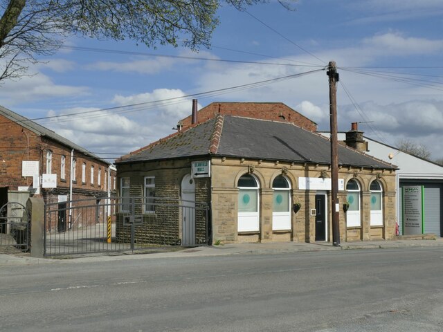
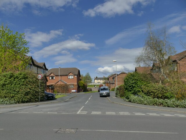
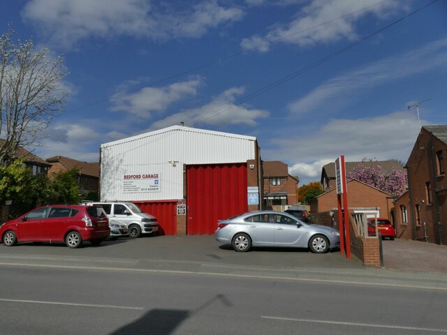
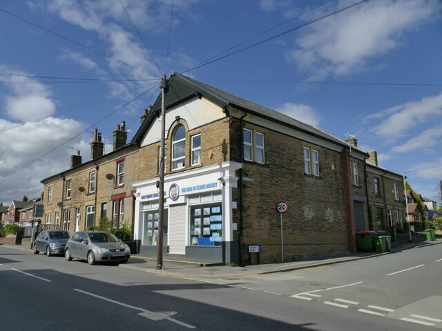
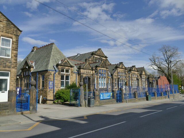
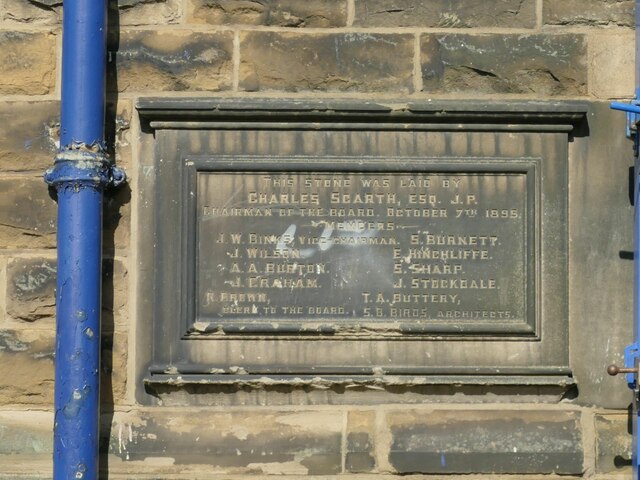
Low Town End Images
Images are sourced within 2km of 53.743661/-1.5947523 or Grid Reference SE2627. Thanks to Geograph Open Source API. All images are credited.


Low Town End is located at Grid Ref: SE2627 (Lat: 53.743661, Lng: -1.5947523)
Division: West Riding
Unitary Authority: Leeds
Police Authority: West Yorkshire
What 3 Words
///noon.clubs.bubble. Near Morley, West Yorkshire
Nearby Locations
Related Wikis

The Morley Academy
The Morley Academy is a mixed secondary school located in Morley, West Yorkshire, England.The school forms part of the Gorse Academies Trust which also...
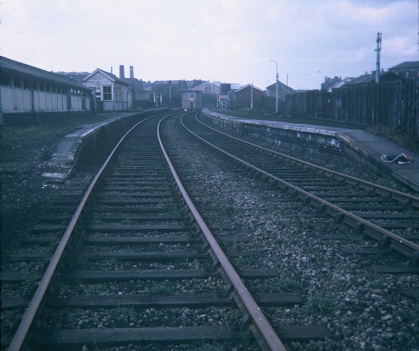
Morley Top railway station
Morley Top railway station served the town of Morley, West Yorkshire, England, from 1857 to 1969 on the Leeds, Bradford and Halifax Junction Railway....
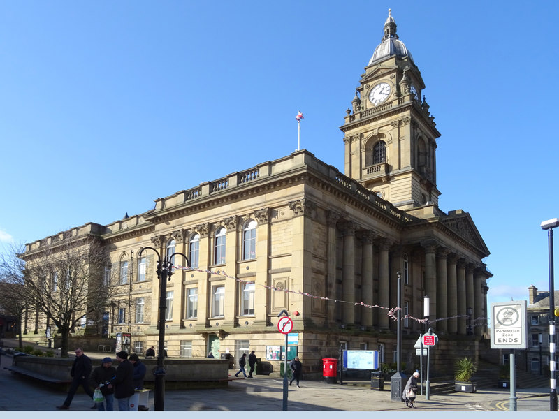
Morley Town Hall
Morley Town Hall is a municipal facility in Morley, West Yorkshire, England. The town hall, which is the meeting place of Morley Town Council, is a Grade...

St Mary's in the Wood Church, Morley
St Mary's in the Wood Church is a redundant and former United Reform Church place of worship in Morley, West Yorkshire, England. It was built in 1876...
Nearby Amenities
Located within 500m of 53.743661,-1.5947523Have you been to Low Town End?
Leave your review of Low Town End below (or comments, questions and feedback).