Town End
Settlement in Yorkshire
England
Town End
Town End is a small village located in the county of Yorkshire, England. Situated on the outskirts of the bustling market town of Skipton, this picturesque village offers a peaceful and tranquil setting for its residents. Nestled in the heart of the Yorkshire Dales National Park, Town End boasts stunning views of the surrounding countryside, making it an ideal destination for nature lovers and outdoor enthusiasts.
The village itself is characterized by its charming stone-built cottages, which date back to the 18th and 19th centuries, giving it a distinct historical feel. The community in Town End is tight-knit, with a population of around 500 residents who take great pride in their village and its heritage. The local amenities include a village hall, a primary school, and a traditional pub, which serves as a hub for social gatherings.
For those seeking outdoor activities, Town End offers an array of opportunities. The nearby Yorkshire Dales provide ample hiking and cycling trails, allowing visitors to explore the breathtaking landscapes and encounter a variety of wildlife. Additionally, the village is in close proximity to the River Wharfe, which offers fishing and boating opportunities.
Town End's location also provides easy access to the amenities and attractions of Skipton. Known as the "Gateway to the Dales," Skipton offers a range of shops, restaurants, and cultural events, including its famous medieval castle. With its idyllic setting and close proximity to both natural beauty and urban conveniences, Town End offers a harmonious blend of rural charm and modern comforts.
If you have any feedback on the listing, please let us know in the comments section below.
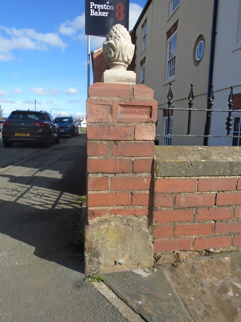
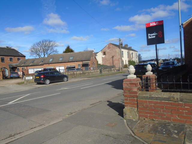
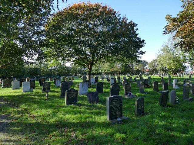
Town End Images
Images are sourced within 2km of 53.729421/-1.5164506 or Grid Reference SE3226. Thanks to Geograph Open Source API. All images are credited.


Town End is located at Grid Ref: SE3226 (Lat: 53.729421, Lng: -1.5164506)
Division: West Riding
Unitary Authority: Leeds
Police Authority: West Yorkshire
What 3 Words
///prop.third.reduce. Near Lofthouse, West Yorkshire
Nearby Locations
Related Wikis
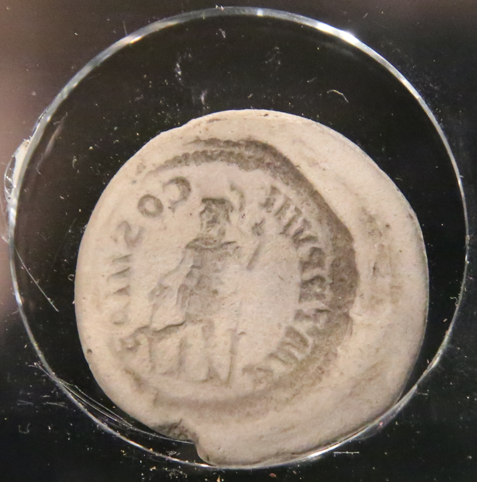
Lingwell Gate coin moulds
The Lingwell Gate coin moulds are a group of Roman, clay coin moulds used in the forgery of coinage found at Lingwell Gate between 1697 and 1879. As of...

Thorpe on the Hill, West Yorkshire
Thorpe on the Hill (or Thorpe) is a small village in West Yorkshire, England. The village falls within the Ardsley and Robin Hood ward of the Leeds Metropolitan...

The Rodillian Academy
The Rodillian Academy (formerly Rodillian School) is a mixed secondary School and sixth form with academy status located in Lofthouse, West Yorkshire,...
Rhubarb Triangle
The Rhubarb Triangle is a 9-square-mile (23 km2) area of West Yorkshire, England between Wakefield, Morley, and Rothwell famous for producing early forced...
Nearby Amenities
Located within 500m of 53.729421,-1.5164506Have you been to Town End?
Leave your review of Town End below (or comments, questions and feedback).