Torryburn
Settlement in Fife
Scotland
Torryburn

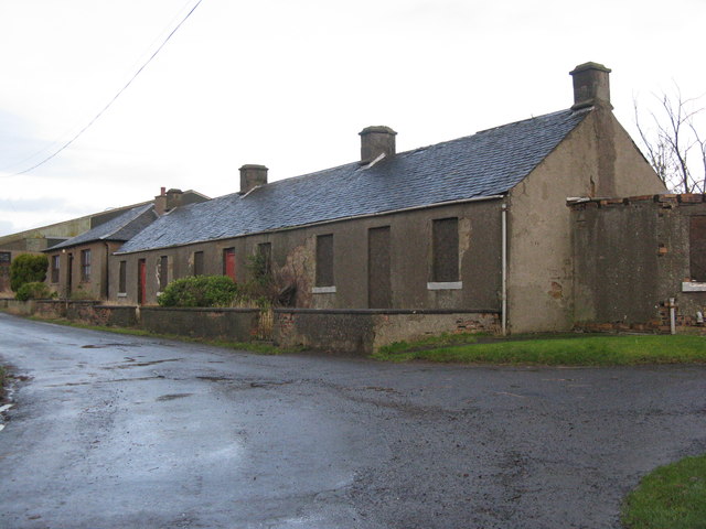
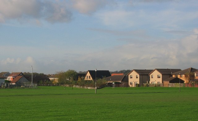
Torryburn is a charming village located in the region of Fife, Scotland. Situated on the northern banks of the Firth of Forth, it is bordered by the towns of Newmills to the east and Cairneyhill to the west. With a population of around 1,400 residents, Torryburn offers a close-knit community atmosphere coupled with picturesque surroundings.
The village's history can be traced back to the 12th century when it was primarily an agricultural settlement. Over the years, it evolved into a thriving fishing village, taking advantage of its proximity to the Forth Estuary. Today, although the fishing industry has diminished, the village still retains its maritime character, with many residents involved in boating or other water-related activities.
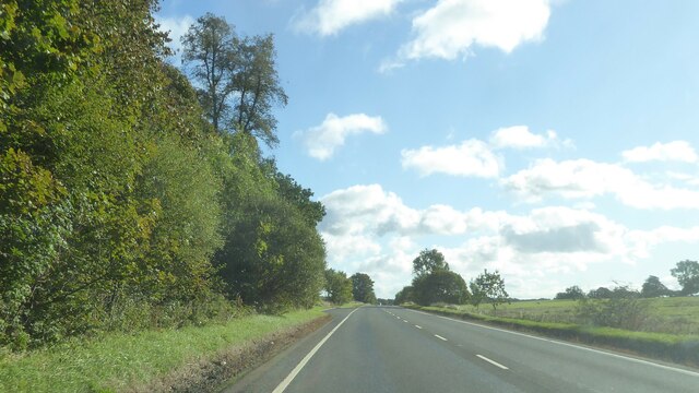
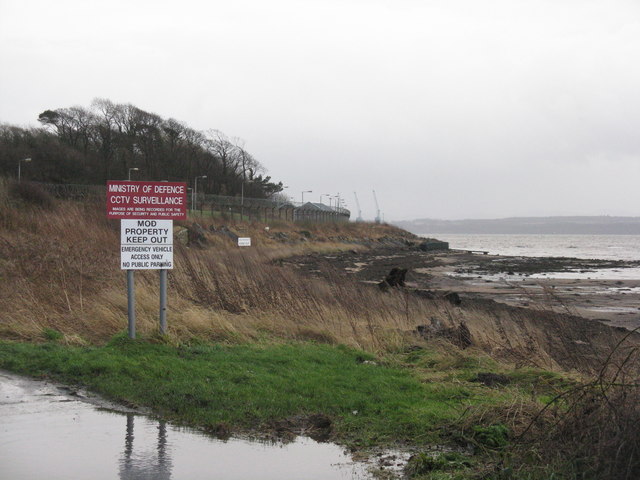
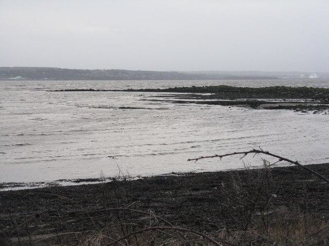
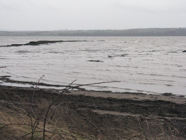
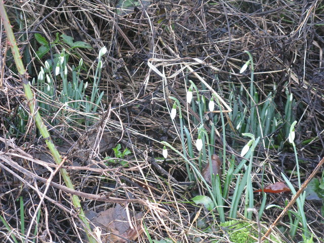
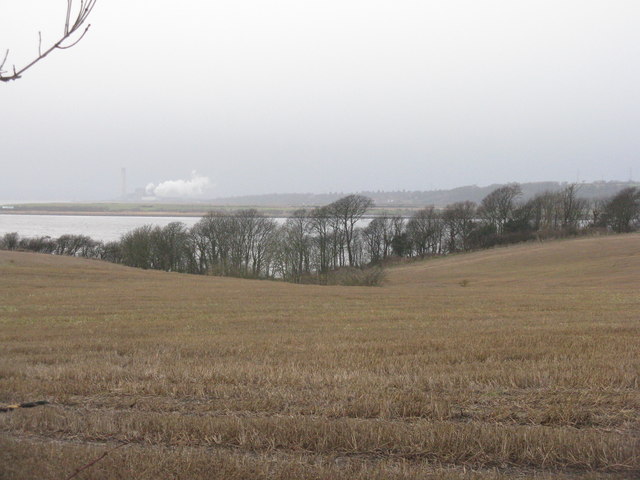
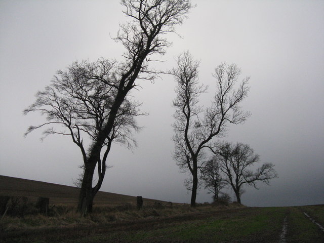
Torryburn boasts an array of natural beauty, with stunning views of the Forth bridges and the surrounding countryside. The village is also home to Torry Bay, a scenic coastal area that attracts visitors with its sandy beach and tranquil atmosphere. The Torryburn and Newmills Nature Reserve, located nearby, offers opportunities for hiking and birdwatching.
In terms of amenities, Torryburn provides essential services for its residents, including a primary school, a post office, and a local pub. Additionally, the village hosts several community events throughout the year, such as the Torryburn Gala, which brings together residents and visitors for a day of festivities.
Torryburn's convenient location allows for easy access to nearby towns and cities, with Dunfermline only a short distance away. Overall, Torryburn offers a peaceful and picturesque setting, making it an ideal place for those seeking a tranquil and close-knit community in the heart of Fife.
If you have any feedback on the listing, please let us know in the comments section below.
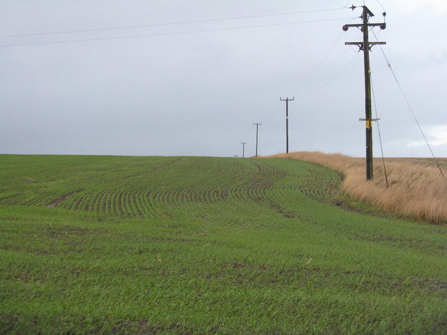
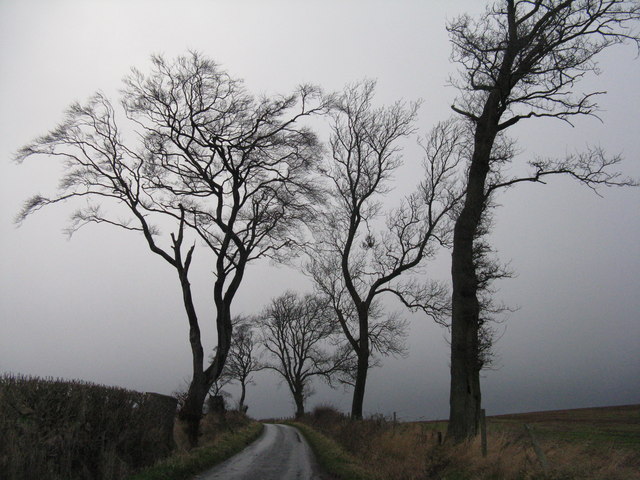
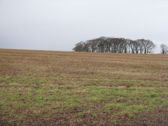
Torryburn Images
Images are sourced within 2km of 56.057865/-3.5683954 or Grid Reference NT0286. Thanks to Geograph Open Source API. All images are credited.


Torryburn is located at Grid Ref: NT0286 (Lat: 56.057865, Lng: -3.5683954)
Unitary Authority: Fife
Police Authority: Fife
What 3 Words
///thin.flattery.snap. Near Cairneyhill, Fife
Nearby Locations
Related Wikis

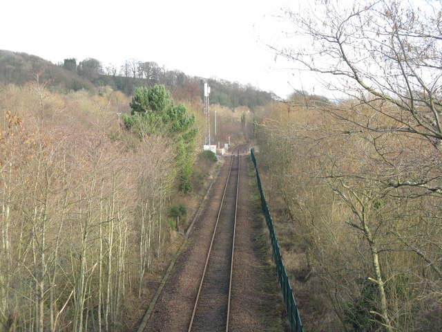
Torryburn railway station
Torryburn railway station served the village of Torryburn, Fife, Scotland from 1906 to 1930 on the Kincardine Line. == History == The station was opened...
Torryburn
Torryburn (previously called Torry/ Torrie) is a village and parish in Fife, Scotland, lying on the north shore of the Firth of Forth. It is one of a number...

Oakley, Fife
Oakley is a village in Fife, Scotland located at the mutual border of Carnock and Culross parishes, Fife, 5+1⁄2 miles (9 kilometres) west of Dunfermline...
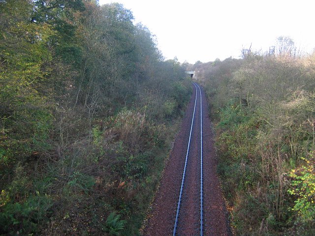
Cairneyhill railway station
Cairneyhill railway station served the village of Cairneyhill, Fife, Scotland from 1906 to 1930 on the Kincardine Line. == History == The station opened...
Preston Island
Preston Island is a former artificial island in the Firth of Forth, Scotland. The reclaimed land was once used for salt production, using local coal. It...
Cairneyhill
Cairneyhill is a village in West Fife, Scotland. It is 3 miles west of Dunfermline, on the A994, and has a population of around 2,510 (mid-2020 est.)The...

Valleyfield, Fife
Valleyfield consists of High Valleyfield and Low Valleyfield which are neighbouring villages in Fife, Scotland, midway between Dunfermline and Kincardine...

Townhill, Fife
Townhill is a small village that lies just north of Dunfermline, Fife, Scotland. The origin of the community is thought to be from the coal-mining industry...
Nearby Amenities
Located within 500m of 56.057865,-3.5683954Have you been to Torryburn?
Leave your review of Torryburn below (or comments, questions and feedback).