Torry

Settlement in Kincardineshire

Scotland

Torry

Provost Skene's House Aberdeen's second oldest house, dating from 1545.
Provost Skene's House Credit: Richard Sutcliffe

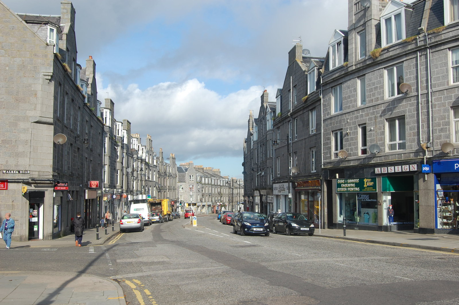
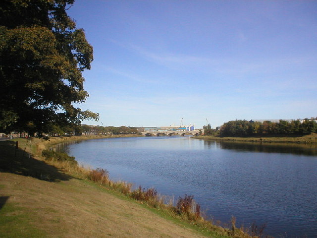
Torry is a small coastal village located in the historical county of Kincardineshire, Scotland. Situated on the eastern coast of Scotland, Torry lies on the southern bank of the River Dee, just south of the city of Aberdeen. It is bordered by the North Sea to the east, offering stunning views and access to beautiful beaches.

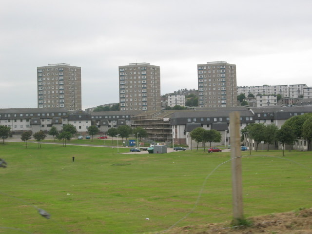
As a former fishing village, Torry has a rich maritime heritage, with its origins dating back several centuries. The village has undergone significant changes over the years, transitioning from a bustling fishing community to a predominantly residential area.

Today, Torry is known for its close-knit community and picturesque surroundings. The village offers a range of amenities, including local shops, schools, and recreational facilities, making it an attractive place to live for families and individuals alike.

Torry is also home to various landmarks and attractions. One notable site is the Torry Battery, a historic fortification that played a crucial role during the two World Wars. The Battery offers visitors a glimpse into the area's military past and provides panoramic views of the surrounding coastline.

Nature enthusiasts can take advantage of Torry's proximity to the coast and enjoy leisurely walks along the sandy beaches or explore the nearby Torry Marine Nature Reserve, which offers a diverse range of habitats and is home to a wide variety of bird species.

With its charming character, stunning scenery, and strong community spirit, Torry continues to be an appealing destination for residents and visitors seeking a tranquil coastal retreat.

If you have any feedback on the listing, please let us know in the comments section below.
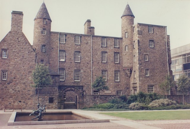
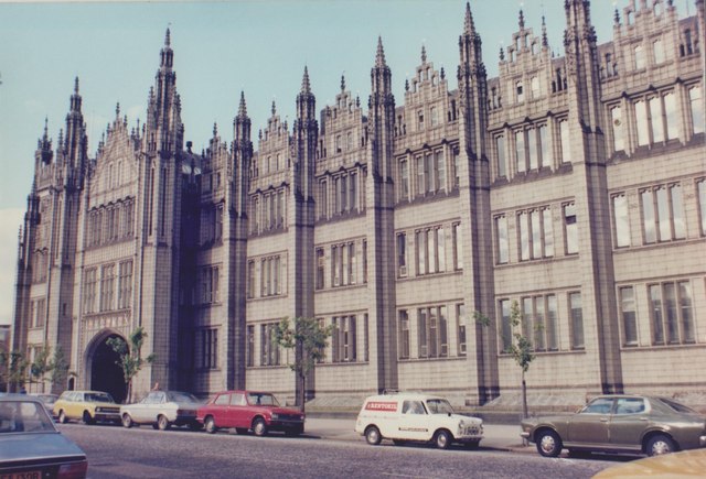
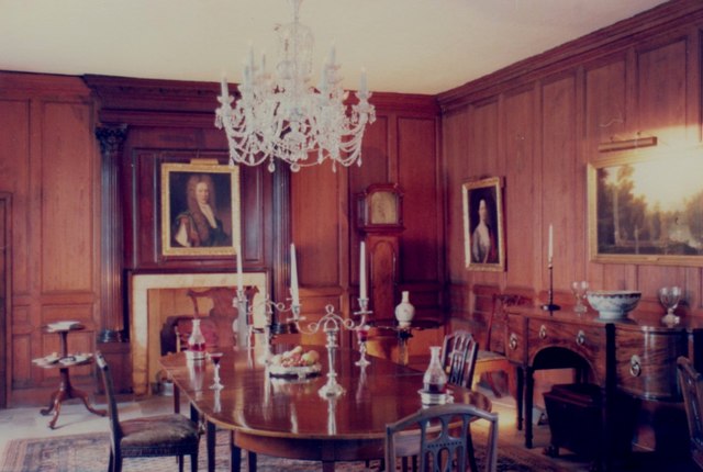
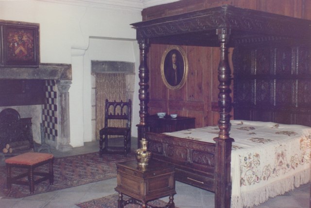
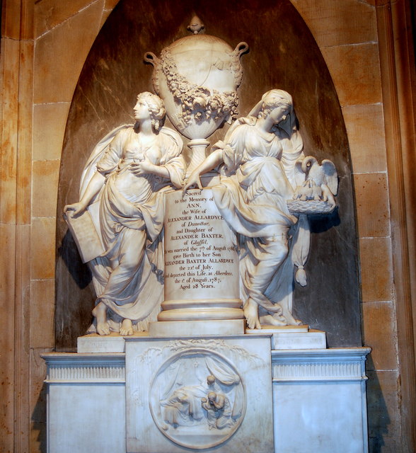
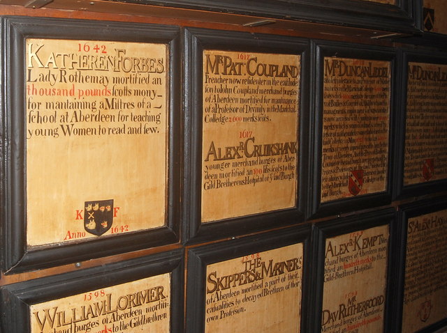
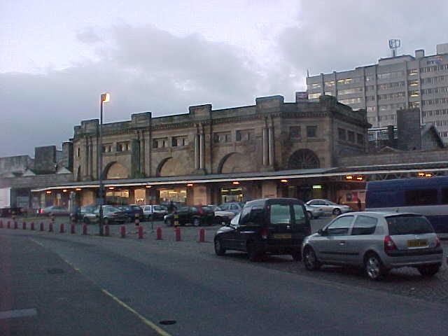
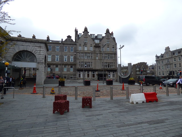
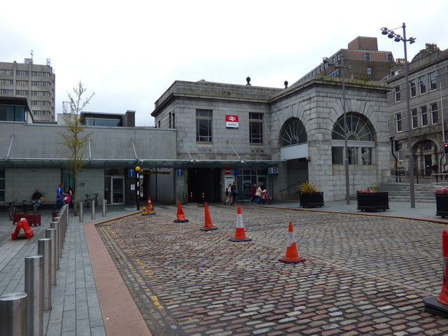
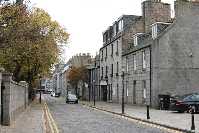
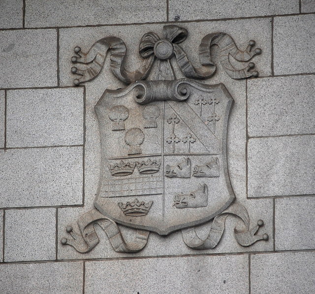
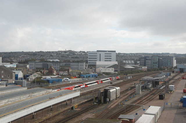
Torry Images

Images are sourced within 2km of 57.136691/-2.079997 or Grid Reference NJ9505. Thanks to Geograph Open Source API. All images are credited.

Provost Skene's House Aberdeen's second oldest house, dating from 1545.
Provost Skene's House
Aberdeen's second oldest house, dating from 1545.
Marischal College, Aberdeen This fine granite building was appropriately still home to Aberdeen University's Geology Department when this photograph was taken in 1979.
Marischal College, Aberdeen
This fine granite building was appropriately still home to Aberdeen University's Geology Department when this photograph was taken in 1979.
Dining Room, Provost Skene's House The dining room as arranged in 1979.
Dining Room, Provost Skene's House
The dining room as arranged in 1979.
Bedroom, Provost Skene's House One of the period bedrooms, as arranged in 1979.
Bedroom, Provost Skene's House
One of the period bedrooms, as arranged in 1979.
Victorian parlour, Provost Skene's House Complete with Aspidistra, as seen in 1979.
Victorian parlour, Provost Skene's House
Complete with Aspidistra, as seen in 1979.
Interior, Provost Skene's House Period setting, as seen in 1979.
Interior, Provost Skene's House
Period setting, as seen in 1979.
Tracks at Aberdeen Station
Trinity Shopping Centre, Union Street, Aberdeen The striking B-listed neo-Gothic building from 1844 once housed the Seven Incorporated Trades, Aberdeen's medieval trade guild organization, which by the 19th Century had become a social and charitable organisation.  For more, see: <span class="nowrap"><a title="http://data.historic-scotland.gov.uk/pls/htmldb/f?p=2200:15:0::::BUILDING:20527" rel="nofollow ugc noopener" href="http://data.historic-scotland.gov.uk/pls/htmldb/f?p=2200:15:0::::BUILDING:20527">Link</a><img style="margin-left:2px;" alt="External link" title="External link - shift click to open in new window" src="https://s1.geograph.org.uk/img/external.png" width="10" height="10"/></span> .  The Trades moved to the new Trinity Hall on Holburn Street in the 1960s.
Trinity Shopping Centre, Union Street, Aberdeen
The striking B-listed neo-Gothic building from 1844 once housed the Seven Incorporated Trades, Aberdeen's medieval trade guild organization, which by the 19th Century had become a social and charitable organisation. For more, see: LinkExternal link . The Trades moved to the new Trinity Hall on Holburn Street in the 1960s.
Ann Allardyce monument, St Nicholas Kirk, Aberdeen In the west entrance to the church, the monument commemorates Ann Allardyce (née Baxter) who died from complications of childbirth in 1787.  The Allardyce family made their fortune from slave plantations in Jamaica: <span class="nowrap"><a title="http://www.abdn.ac.uk/slavery/6p3.htm" rel="nofollow ugc noopener" href="http://www.abdn.ac.uk/slavery/6p3.htm">Link</a><img style="margin-left:2px;" alt="External link" title="External link - shift click to open in new window" src="https://s1.geograph.org.uk/img/external.png" width="10" height="10"/></span>.  The sculptor was John Bacon: <span class="nowrap"><a title="https://en.wikipedia.org/wiki/John_Bacon_(sculptor)" rel="nofollow ugc noopener" href="https://en.wikipedia.org/wiki/John_Bacon_(sculptor)">Link</a><img style="margin-left:2px;" alt="External link" title="External link - shift click to open in new window" src="https://s1.geograph.org.uk/img/external.png" width="10" height="10"/></span>.   There is an almost identical monument at Widworthy (Devon), but apparently not yet photographed for Geograph...
Ann Allardyce monument, St Nicholas Kirk, Aberdeen
In the west entrance to the church, the monument commemorates Ann Allardyce (née Baxter) who died from complications of childbirth in 1787. The Allardyce family made their fortune from slave plantations in Jamaica: LinkExternal link. The sculptor was John Bacon: LinkExternal link. There is an almost identical monument at Widworthy (Devon), but apparently not yet photographed for Geograph...
Mortification boards, Town House, Aberdeen There are almost 100 of these intriguing Seventeenth Century mortification boards in the entrance hall of the Town House.  They commemorate bequests made by wealthy and leading citizens.  The nearest one commemorates Katherine Gordon, Lady Rothiemay (née Forbes), who seemed to have a colourful life: <span class="nowrap"><a title="http://womenofscotland.org.uk/women/katherine-forbes-lady-rothiemay" rel="nofollow ugc noopener" href="http://womenofscotland.org.uk/women/katherine-forbes-lady-rothiemay">Link</a><img style="margin-left:2px;" alt="External link" title="External link - shift click to open in new window" src="https://s1.geograph.org.uk/img/external.png" width="10" height="10"/></span> .  The crest shows Azure a saltire argent between three boars' heads couped or (for Gordon) impaling Azure three bears' heads couped argent muzzled gules (for Forbes).
Mortification boards, Town House, Aberdeen
There are almost 100 of these intriguing Seventeenth Century mortification boards in the entrance hall of the Town House. They commemorate bequests made by wealthy and leading citizens. The nearest one commemorates Katherine Gordon, Lady Rothiemay (née Forbes), who seemed to have a colourful life: LinkExternal link . The crest shows Azure a saltire argent between three boars' heads couped or (for Gordon) impaling Azure three bears' heads couped argent muzzled gules (for Forbes).
Aberdeen Railway station
Aberdeen, Union Square
Travelodge, Union Street, Aberdeen On the corner of Union Street and Bridge Street (to the right), this is believed to be the last large granite building constructed in Aberdeen, in ca. 1956. It replaced an older hotel that was destroyed by fire in 1941.
Travelodge, Union Street, Aberdeen
On the corner of Union Street and Bridge Street (to the right), this is believed to be the last large granite building constructed in Aberdeen, in ca. 1956. It replaced an older hotel that was destroyed by fire in 1941.
Autumn colours on Huntly Street, Aberdeen
Arms of Aberdeen County Council As seen on the A-listed (see: <span class="nowrap"><a title="http://portal.historic-scotland.gov.uk/designation/LB19978" rel="nofollow ugc noopener" href="http://portal.historic-scotland.gov.uk/designation/LB19978">Link</a><img style="margin-left:2px;" alt="External link" title="External link - shift click to open in new window" src="https://s1.geograph.org.uk/img/external.png" width="10" height="10"/></span> ) Aberdeen war memorial at the corner of Schoolhill and Blackfriars Street. The arms, which commemorate prominent local families, have been defunct since local government reorganization in 1974.  The blazon is: Quarterly first azure, three garbs or (for Buchan); second azure, a bend between six cross crosslets fitchée or (for Mar); third or, a fesse chequy azure and argent between three open crowns gules (for Garioch); fourth azure three boars' heads couped or (for Gordon).
Arms of Aberdeen County Council
As seen on the A-listed (see: LinkExternal link ) Aberdeen war memorial at the corner of Schoolhill and Blackfriars Street. The arms, which commemorate prominent local families, have been defunct since local government reorganization in 1974. The blazon is: Quarterly first azure, three garbs or (for Buchan); second azure, a bend between six cross crosslets fitchée or (for Mar); third or, a fesse chequy azure and argent between three open crowns gules (for Garioch); fourth azure three boars' heads couped or (for Gordon).
Aberdeen station An HST (a high-speed train) in the livery of Virgin Trains forming the 14:52 
to London King's Cross (arr. 22:16) is ready to depart.  For an earlier HST colour scheme at Aberdeen, see: <a title="https://www.geograph.org.uk/photo/3345124" href="https://www.geograph.org.uk/photo/3345124">Link</a>.  A number of new office blocks are apparent behind the train.
Aberdeen station
An HST (a high-speed train) in the livery of Virgin Trains forming the 14:52 to London King's Cross (arr. 22:16) is ready to depart. For an earlier HST colour scheme at Aberdeen, see: Link. A number of new office blocks are apparent behind the train.
Show me another place!

Torry is located at Grid Ref: NJ9505 (Lat: 57.136691, Lng: -2.079997)

Unitary Authority: City of Aberdeen

Police Authority: North East

What 3 Words

///gender.outer.equal. Near Aberdeen

Nearby Locations

Footdee Torry

Related Wikis

Torry

Torry is an area within Aberdeen, Scotland. == Origin == People have been living in Torry since at least the 12th century. The place name first appears...

Torry Academy

Torry Academy was a secondary school in Torry, Aberdeen, run by Aberdeen City Council. The original school was built in 1927 and added to in 1947, creating...

River Dee ferryboat disaster

The River Dee Ferry Boat Disaster occurred on 5 April 1876. Thirty two people drowned in the mouth of the River Dee, Aberdeenshire, Scotland when their...

Balnagask

Balnagask is an area of Torry, a burgh of Aberdeen in Scotland. Balnagask is said to mean "the village in the hollow" in Gaelic. The Balnagask Estate...

Nearby Amenities

Located within 500m of 57.136691,-2.079997
Crossing
Crossing: uncontrolled
Crossing Island: yes
Crossing Markings: no
Tactile Paving: yes
Lat/Long: 57.137619/-2.087918
Crossing
Crossing: uncontrolled
Crossing Island: yes
Tactile Paving: yes
Lat/Long: 57.1354441/-2.0742667
Traffic Calming: cushion
Lat/Long: 57.134458/-2.0747892
Torry
Name En: Torry
Name Gd: Torraidh
Place: suburb
Population: 9500
Source: NPE
Wikidata: Q7827168
Wikipedia: en:Torry
Lat/Long: 57.1351976/-2.0824696
Post Box
Addr City: Aberdeen
Addr Country: GB
Addr Postcode: AB11 9LB
Addr Street: Girdlestone Place
Operator: Royal Mail
Operator Wikidata: Q638098
Ref: AB11 510
Lat/Long: 57.1342325/-2.0776269
Crossing
Lat/Long: 57.1357585/-2.0724731
Torry Range Rear
Man Made: lighthouse
Seamark Information: Visible 195° - 279°
Seamark Light Category: upper
Seamark Light Character: F
Seamark Light Colour: red
Seamark Light Height: 19
Seamark Light Range: 5
Seamark Light Reference: A 3258.1
Seamark Light Visibility: part_obscured
Seamark Type: light_minor
Lat/Long: 57.1385666/-2.0779829
Torry Range Front
Man Made: lighthouse
Seamark Information: Visible 195° - 279°. Shows R when entrance is safe and G when it is unsafe
Seamark Light Category: lower
Seamark Light Character: F
Seamark Light Colour: red
Seamark Light Height: 14
Seamark Light Range: 5
Seamark Light Reference: A 3258
Seamark Light Visibility: part_obscured
Seamark Type: light_minor
Source: US NGA Pub. 114. 2011-05-26.
Lat/Long: 57.1396436/-2.0749327
Bicycle Parking
Access: private
Capacity: 26
Covered: yes
Source: survey
Lat/Long: 57.1392588/-2.0740586
SEPA
Addr City: Aberdeen
Addr Housename: Inverdee House
Addr Postcode: AB11 9QA
Addr Street: Baxter Street
Office: government
Official Name: Scottish Environment Protection Agency
Phone: +44 1224 266600
Lat/Long: 57.1394238/-2.0737382
Scottish Natural Heritage
Addr City: Aberdeen
Addr Housename: Inverdee House
Addr Postcode: AB11 9QA
Addr Street: Baxter Street
Alt Name: SNH
Office: government
Phone: +44 1224 266600
Lat/Long: 57.1394248/-2.0735215
Crossing
Crossing Island: yes
Lat/Long: 57.1329941/-2.0799412
Noexit: yes
Lat/Long: 57.1367095/-2.0877123
Bicycle Parking
Bicycle Parking: stands
Capacity: 10
Covered: no
Source: survey
Lat/Long: 57.1389948/-2.075303
Post Box
Check Date Collection Times: 2023-01-28
Collection Times: Mo-Fr 17:00; Sa 11:30
Operator: Royal Mail
Operator Wikidata: Q638098
Post Box Type: pillar
Ref: AB11 188
Royal Cypher: scottish_crown
Lat/Long: 57.1376768/-2.0880847
Post Box
Addr City: Aberdeen
Addr Country: GB
Addr Postcode: AB11 9NR
Addr Street: Victoria Road
Collection Times: Mo-Fr 09:00; Sa 07:00
Operator: Royal Mail
Operator Wikidata: Q638098
Post Box Type: pillar
Ref: AB11 99D
Royal Cypher: VR
Royal Cypher Wikidata: Q33102356
Lat/Long: 57.1366108/-2.0797201
Post Box
Collection Times: Mo-Fr 09:00; Sa 07:00
Operator: Royal Mail
Operator Wikidata: Q638098
Post Box Type: wall
Ref: AB11 118D
Royal Cypher: EVIIR
Royal Cypher Wikidata: Q33102324
Lat/Long: 57.1384041/-2.0750821
Post Box
Collection Times: Mo-Fr 09:00; Sa 07:00
Operator: Royal Mail
Operator Wikidata: Q638098
Post Box Type: pillar
Ref: AB11 507D
Royal Cypher: scottish_crown
Lat/Long: 57.135586/-2.0848109
JNCC
Addr City: Aberdeen
Addr Housename: Inverdee House
Addr Postcode: AB11 9QA
Addr Street: Baxter Street
Office: government
Lat/Long: 57.139422/-2.0738948
Bus Stop
Tullos Crescent
Bus: yes
Naptan AtcoCode: 639007181
Naptan CommonName: Tullos Crescent
Naptan Indicator: at
Naptan NaptanCode: 23232926
Naptan Verified: no
Public Transport: platform
Lat/Long: 57.1332516/-2.0807825
Bus Stop
Baxter Street
Bench: yes
Bin: no
Bus: yes
Lit: yes
Naptan AtcoCode: 639003782
Naptan CommonName: Baxter Street
Naptan Indicator: at
Naptan NaptanCode: 23234246
Naptan Verified: no
Public Transport: platform
Shelter: yes
Tactile Paving: no
Lat/Long: 57.1371686/-2.0740105
Bus Stop
Baxter Street
Bench: yes
Bin: no
Bus: yes
Lit: yes
Naptan AtcoCode: 639003781
Naptan CommonName: Baxter Street
Naptan Indicator: opp
Naptan NaptanCode: 23234283
Naptan Verified: no
Public Transport: platform
Shelter: yes
Tactile Paving: no
Lat/Long: 57.1372533/-2.0743388
Bus Stop
Balnagask Circle
Bus: yes
Naptan AtcoCode: 639004071
Naptan CommonName: Balnagask Circle
Naptan Indicator: opp
Naptan NaptanCode: 23232969
Naptan Verified: no
Public Transport: platform
Lat/Long: 57.1348196/-2.0728229
Bus Stop
Farquhar Avenue
Bus: yes
Naptan AtcoCode: 639003831
Naptan CommonName: Farquhar Avenue
Naptan Indicator: adj
Naptan NaptanCode: 23232978
Naptan Verified: no
Public Transport: platform
Shelter: yes
Lat/Long: 57.1344868/-2.0766537
Bus Stop
Balnagask Place
Bus: yes
Naptan AtcoCode: 639003822
Naptan CommonName: Balnagask Place
Naptan Indicator: adj
Naptan NaptanCode: 23232979
Naptan Verified: no
Public Transport: platform
Lat/Long: 57.1355284/-2.074179
Bus Stop
Balnagask Place
Bus: yes
Naptan AtcoCode: 639003821
Naptan CommonName: Balnagask Place
Naptan Indicator: opp
Naptan NaptanCode: 23232976
Naptan Verified: no
Public Transport: platform
Lat/Long: 57.1354883/-2.073833
Bus Stop
Balnagask Circle
Bus: yes
Naptan AtcoCode: 639004072
Naptan CommonName: Balnagask Circle
Naptan Indicator: at
Naptan NaptanCode: 23232952
Naptan Verified: no
Public Transport: platform
Lat/Long: 57.1343206/-2.0732434
Bus Stop
Tullos Place
Bus: yes
Naptan AtcoCode: 639003841
Naptan CommonName: Tullos Place
Naptan Indicator: opp
Naptan NaptanCode: 23232892
Naptan Verified: no
Public Transport: platform
Shelter: yes
Lat/Long: 57.1327595/-2.0803194
Bus Stop
Farquhar Avenue
Bus: yes
Naptan AtcoCode: 639003832
Naptan CommonName: Farquhar Avenue
Naptan Indicator: opp
Naptan NaptanCode: 23232925
Naptan Verified: no
Public Transport: platform
Shelter: yes
Lat/Long: 57.1344847/-2.077002
Bus Stop
St Peter's Court
Bench: no
Bin: no
Bus: yes
Lit: yes
Naptan AtcoCode: 639003751
Naptan CommonName: St Peter's Court
Naptan Indicator: adj
Naptan NaptanCode: 23234273
Naptan Verified: no
Public Transport: platform
Shelter: no
Tactile Paving: no
Lat/Long: 57.1366723/-2.0835821
Bus Stop
Crombie Road
Bench: yes
Bin: no
Bus: yes
Lit: yes
Naptan AtcoCode: 639003742
Naptan CommonName: Crombie Road
Naptan Indicator: opp
Naptan NaptanCode: 23234278
Naptan Verified: no
Public Transport: platform
Shelter: yes
Tactile Paving: no
Lat/Long: 57.1371522/-2.0871855
Bus Stop
Grampian Road
Bench: yes
Bin: yes
Bus: yes
Lit: yes
Naptan AtcoCode: 639003741
Naptan CommonName: Grampian Road
Naptan Indicator: opp
Naptan NaptanCode: 23234275
Naptan Verified: no
Public Transport: platform
Shelter: yes
Tactile Paving: no
Lat/Long: 57.1371049/-2.0867413
Bus Stop
South Grampian Circle
Bus: yes
Naptan AtcoCode: 639003951
Naptan CommonName: South Grampian Circle
Naptan Indicator: opp
Naptan NaptanCode: 23232928
Naptan Verified: no
Public Transport: platform
Lat/Long: 57.1333852/-2.0826496
Bus Stop
Battock Place
Bus: yes
Naptan AtcoCode: 639003941
Naptan CommonName: Battock Place
Naptan Indicator: opp
Naptan NaptanCode: 23232927
Naptan Verified: no
Public Transport: platform
Lat/Long: 57.1331682/-2.0847306
Bus Stop
Glenbervie Road
Bus: yes
Naptan AtcoCode: 639003911
Naptan CommonName: Glenbervie Road
Naptan Indicator: at
Naptan NaptanCode: 23234232
Naptan Verified: no
Public Transport: platform
Lat/Long: 57.1363106/-2.0871665
Bus Stop
Victoria Road
Bench: yes
Bin: yes
Bus: yes
Naptan AtcoCode: 639003901
Naptan CommonName: Victoria Road
Naptan Indicator: adj
Naptan NaptanCode: 23234284
Naptan Verified: no
Public Transport: platform
Shelter: yes
Lat/Long: 57.1373201/-2.0880099
Bus Stop
Abbey Place
Bench: yes
Bin: no
Bus: yes
Lit: yes
Naptan AtcoCode: 639003772
Naptan CommonName: Abbey Place
Naptan Indicator: adj 236
Naptan NaptanCode: 23234253
Naptan Verified: no
Public Transport: platform
Shelter: yes
Tactile Paving: no
Lat/Long: 57.1366758/-2.0782622
Bus Stop
Mansefield Road
Bench: yes
Bin: no
Bus: yes
Lit: yes
Naptan AtcoCode: 639003762
Naptan CommonName: Mansefield Road
Naptan Indicator: adj 210
Naptan NaptanCode: 23234258
Naptan Verified: no
Public Transport: platform
Shelter: yes
Tactile Paving: no
Lat/Long: 57.1366157/-2.0803891
Bus Stop
Mansefield Road
Bench: no
Bin: yes
Bus: yes
Lit: yes
Naptan AtcoCode: 639003761
Naptan CommonName: Mansefield Road
Naptan Indicator: adj 229
Naptan NaptanCode: 23234248
Naptan Verified: no
Public Transport: platform
Shelter: no
Tactile Paving: no
Lat/Long: 57.1367356/-2.0797145
Bus Stop
St Peter's Court
Bench: no
Bin: no
Bus: yes
Lit: yes
Naptan AtcoCode: 639003752
Naptan CommonName: St Peter's Court
Naptan Indicator: opp
Naptan NaptanCode: 23234257
Naptan Verified: no
Public Transport: platform
Shelter: no
Tactile Paving: no
Lat/Long: 57.136541/-2.0839898
Crossing
Crossing: uncontrolled
Crossing Island: no
Crossing Ref: zebra
Lat/Long: 57.138813/-2.0830821
Colour: green
Man Made: street_cabinet
Operator: Cityfibre
Ref: AB2.PN10.SN4
Telecom Medium: fibre
Utility: telecom
Lat/Long: 57.1341367/-2.0764679
Colour: green
Man Made: street_cabinet
Operator: Cityfibre
Ref: AB2.PN42.SN10
Telecom Medium: fibre
Utility: telecom
Lat/Long: 57.1344204/-2.0771639
Barrier: bollard
Bollard: fixed
Lat/Long: 57.1373744/-2.073177
Generator Source: solar
Power: generator
Lat/Long: 57.1378214/-2.0743346
J.G. Ross
Addr City: Aberdeen
Addr Housenumber: 83-85
Addr Postcode: AB11 9LU
Addr Street: Victoria Road
Fhrs Authority: Aberdeen City
Fhrs Id: 593394
Fhrs Local Authority Id: EHDC8442
Operator: J.G. Ross
Shop: bakery
Lat/Long: 57.1376927/-2.0877841
PDSA
Addr City: Aberdeen
Addr Housenumber: 93
Addr Postcode: AB11 9LU
Addr Street: Victoria Road
Brand: PDSA
Brand Wikidata: Q7165541
Brand Wikipedia: en:People's Dispensary for Sick Animals
Shop: charity
Lat/Long: 57.1375478/-2.0874892
Aberflora Florist
Addr City: Aberdeen
Addr Country: GB
Addr Housenumber: 89
Addr Postcode: AB11 9LU
Addr Street: Victoria Road
Shop: florist
Lat/Long: 57.1376374/-2.0876815
Best-one
Addr City: Aberdeen
Addr Housenumber: 94
Addr Postcode: AB11 9DT
Addr Street: Victoria Road
Brand: Best-one
Brand Wikidata: Q4896532
Brand Wikipedia: en:Best-one
Contact Website: https://stores.best-one.co.uk/u-store-best-one-a3fdc4744e9d
Fhrs Authority: Aberdeen City
Fhrs Id: 623579
Fhrs Local Authority Id: EHDC11329
Shop: convenience
Lat/Long: 57.1374383/-2.0878753
Fast Food
Torry Chip Bar
Addr City: Aberdeen
Addr Housenumber: 90
Addr Postcode: AB11 9DT
Addr Street: Victoria Road
Cuisine: fish_and_chips
Fhrs Authority: Aberdeen City
Fhrs Id: 592736
Fhrs Local Authority Id: EHDC1687
Lat/Long: 57.137522/-2.0880135
Dobry
Addr City: Aberdeen
Addr Housenumber: 75
Addr Postcode: AB11 9LT
Addr Street: Victoria Road
Fhrs Authority: Aberdeen City
Fhrs Id: 867940
Fhrs Local Authority Id: EHDC11557
Shop: deli
Lat/Long: 57.1378193/-2.0879491
Crossing
Crossing: uncontrolled
Crossing Island: yes
Crossing Markings: no
Tactile Paving: yes
Lat/Long: 57.1370762/-2.0868605
Crossing
Crossing: uncontrolled
Crossing Island: yes
Tactile Paving: yes
Lat/Long: 57.133336/-2.0792373
Waste Basket
Waste: trash
Lat/Long: 57.1395925/-2.0738091
Pharmacy
Dickies Pharmacy
Addr Postcode: AB11 9DU
Healthcare: pharmacy
Operator: Dickies Pharmacy
Operator Type: business
Lat/Long: 57.1372581/-2.0876722
Traffic Calming: cushion
Lat/Long: 57.133415/-2.0767002
Traffic Calming: cushion
Lat/Long: 57.1338717/-2.0758649
Traffic Calming: cushion
Lat/Long: 57.1350776/-2.0736528
Crossing
Crossing: uncontrolled
Crossing Island: yes
Tactile Paving: yes
Lat/Long: 57.1343331/-2.0771614
Crossing
Crossing: uncontrolled
Crossing Island: yes
Tactile Paving: yes
Lat/Long: 57.1339467/-2.0779693
Traffic Calming: cushion
Lat/Long: 57.1340399/-2.0764562
Crossing
Crossing: uncontrolled
Crossing Island: yes
Tactile Paving: yes
Lat/Long: 57.1346682/-2.0764562
Crossing
Crossing: uncontrolled
Crossing Island: yes
Lat/Long: 57.1357204/-2.0800012
Crossing
Crossing: unmarked
Crossing Island: no
Crossing Markings: no
Tactile Paving: yes
Lat/Long: 57.135743/-2.0798065
Traffic Calming: cushion
Lat/Long: 57.1325539/-2.0782842
Grit Bin
Lat/Long: 57.1355836/-2.0836768
Grit Bin
Lat/Long: 57.1356506/-2.0804648
Crossing
Crossing: unmarked
Crossing Island: no
Crossing Markings: no
Tactile Paving: yes
Lat/Long: 57.1342469/-2.0796574
Crossing
Crossing: uncontrolled
Crossing Island: yes
Tactile Paving: yes
Lat/Long: 57.1366674/-2.0804642
Grit Bin
Lat/Long: 57.1324571/-2.0791009
Crossing
Crossing: unmarked
Crossing Island: no
Crossing Markings: no
Tactile Paving: yes
Lat/Long: 57.1357951/-2.0771378
Grit Bin
Lat/Long: 57.1357357/-2.0771603
Grit Bin
Lat/Long: 57.1354659/-2.0860323
Addr City: Aberdeen
Addr Country: GB
Addr Postcode: AB11 9ND
Addr Street: Victoria Road
Shop: vacant
Lat/Long: 57.136686/-2.0841713
Double Impressions
Addr City: Aberdeen
Addr Country: GB
Addr Housenumber: 163
Addr Postcode: AB11 9ND
Addr Street: Victoria Road
Shop: hairdresser
Lat/Long: 57.1366961/-2.083815
Addr City: Aberdeen
Addr Country: GB
Addr Housenumber: 169
Addr Postcode: AB11 9ND
Addr Street: Victoria Road
Shop: vacant
Lat/Long: 57.1366961/-2.0836154
Fast Food
Mr Laws
Addr City: Aberdeen
Addr Country: GB
Addr Housenumber: 175
Addr Postcode: AB11 9ND
Addr Street: Victoria Road
Cuisine: chinese;thai
Delivery: yes
Fhrs Authority: Aberdeen City
Fhrs Id: 1178395
Fhrs Local Authority Id: EHDC13032
Shop: vacant
Takeaway: yes
Lat/Long: 57.1366947/-2.0833405
Addr City: Aberdeen
Addr Country: GB
Addr Housenumber: 179
Addr Postcode: AB11 9ND
Addr Street: Victoria Road
Shop: vacant
Lat/Long: 57.1366974/-2.0832369
Aster Systems
Addr City: Aberdeen
Addr Country: GB
Addr Postcode: AB11 9ND
Addr Street: Victoria Road
Lat/Long: 57.1366981/-2.0831482
Chalmers Butcher
Addr City: Aberdeen
Addr Country: GB
Addr Housenumber: 229
Addr Postcode: AB11 9NQ
Addr Street: Victoria Road
Fhrs Authority: Aberdeen City
Fhrs Id: 592738
Fhrs Local Authority Id: EHDC1710
Shop: butcher
Lat/Long: 57.1368044/-2.079756
Upstairs Downstairs
Addr City: Aberdeen
Addr Country: GB
Addr Housenumber: 217
Addr Postcode: AB11 9NH
Addr Street: Victoria Road
Shop: bathroom_furnishing
Lat/Long: 57.1367516/-2.0802725
Spar
Addr City: Aberdeen
Addr Housenumber: 225
Addr Postcode: AB11 9NQ
Addr Street: Victoria Road
Branch: Victoria Road
Brand: Spar
Brand Wikidata: Q610492
Fhrs Authority: Aberdeen City
Fhrs Id: 1342156
Fhrs Local Authority Id: EHDC13776
Shop: convenience
Lat/Long: 57.1368018/-2.079904
Grit Bin
Lat/Long: 57.1331366/-2.0769415
Grit Bin
Lat/Long: 57.1372811/-2.0733602
Crossing
Crossing: uncontrolled
Crossing Island: yes
Tactile Paving: yes
Lat/Long: 57.137316/-2.0736849
Crossing
Crossing: unmarked
Crossing Island: no
Crossing Markings: no
Tactile Paving: yes
Lat/Long: 57.1389179/-2.0730617
Crossing
Crossing: unmarked
Crossing Island: no
Crossing Markings: no
Tactile Paving: yes
Lat/Long: 57.1387289/-2.0739826
Crossing
Crossing: uncontrolled
Crossing Island: no
Crossing Ref: zebra
Tactile Paving: yes
Lat/Long: 57.1368744/-2.0761397
Brenda's
Addr City: Aberdeen
Addr Country: GB
Addr Housenumber: 218
Addr Postcode: AB11 9NR
Addr Street: Victoria Road
Shop: hairdresser
Lat/Long: 57.1365622/-2.079842
Victoria Funeral Home
Addr City: Aberdeen
Addr Country: GB
Addr Housenumber: 220
Addr Postcode: AB11 9NR
Addr Street: Victoria Road
Contact Email: v877202@aol.com
Contact Phone: +44 1224 877202
Contact Website: https://victoriafuneralhomeltd.co.uk
Shop: funeral_directors
Lat/Long: 57.1365655/-2.0797403
Addr City: Aberdeen
Addr Country: GB
Addr Housenumber: 86
Addr Postcode: AB11 9DT
Addr Street: Victoria Road
Shop: vacant
Lat/Long: 57.1375719/-2.0880898
Fast Food
Dumpling's World
Addr City: Aberdeen
Addr Housenumber: 79
Addr Postcode: AB11 9LU
Addr Street: Victoria Road
Fhrs Authority: Aberdeen City
Fhrs Id: 1220274
Fhrs Local Authority Id: EHDC13340
Lat/Long: 57.1377605/-2.0878852
Torry Heel 'n' Key Bar Shoe Repairs
Craft: shoemaker;key_cutter
Lat/Long: 57.1377384/-2.0878593
Defibrillator
Access: yes
Defibrillator Location: Outer wall of police station
Emergency: defibrillator
Indoor: no
Level: 0
Lat/Long: 57.1371445/-2.0867212
Generator Method: photovoltaic
Generator Output Electricity: yes
Generator Source: solar
Generator Type: solar_photovoltaic_panel
Location: roof
Power: generator
Lat/Long: 57.1328304/-2.0829217
Generator Method: photovoltaic
Generator Output Electricity: yes
Generator Source: solar
Generator Type: solar_photovoltaic_panel
Location: roof
Power: generator
Lat/Long: 57.1330284/-2.0827085
Traffic Calming: cushion
Lat/Long: 57.1329614/-2.0775345
Crossing
Crossing: unmarked
Crossing Island: no
Crossing Markings: no
Kerb: lowered
Tactile Paving: yes
Lat/Long: 57.1383315/-2.0830983
Camera Mount: pole
Camera Type: dome
Surveillance: public
Surveillance Type: camera
Lat/Long: 57.1389738/-2.08467
Traffic Calming: cushion
Lat/Long: 57.1329476/-2.0768975
Keystore
Addr City: Aberdeen
Addr Country: GB
Addr Housenumber: 11-13
Addr Postcode: AB11 8EB
Addr Street: Grampian Road
Fhrs Authority: Aberdeen City
Fhrs Id: 767922
Fhrs Local Authority Id: EHDC11349
Shop: convenience
Lat/Long: 57.1361796/-2.0871234
Board Type: history
Description: Photos of Old Torry before it was demolished
Information: board
Operator: Torry Heritage Group
Tourism: information
Lat/Long: 57.1387142/-2.0780931
Give Way
Lat/Long: 57.1383424/-2.0838683
Maxwidth: 7'0"
Traffic Calming: island
Lat/Long: 57.1379889/-2.0741874
Maxwidth: 7'0"
Traffic Calming: island
Lat/Long: 57.1376083/-2.0783022
Maxwidth: 7'0"
Traffic Calming: island
Lat/Long: 57.1378135/-2.0780917
Give Way
Direction: forward
Lat/Long: 57.1374733/-2.083885
The data included in this document is from www.openstreetmap.org. The data is made available under ODbL.

Have you been to Torry?

Leave your review of Torry below (or comments, questions and feedback).