Torroy

Settlement in Ross-shire

Scotland

Torroy

Small temporary bridge, Ross-shire Carrying a farm track over a small watercourse.
Small temporary bridge, Ross-shire Credit: Andrew Tryon

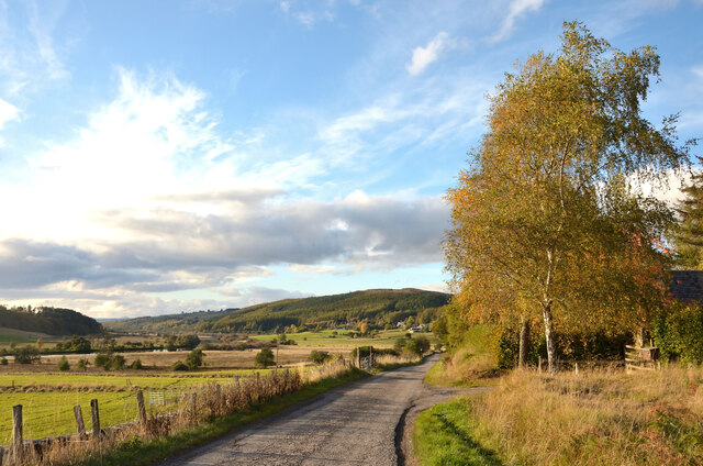
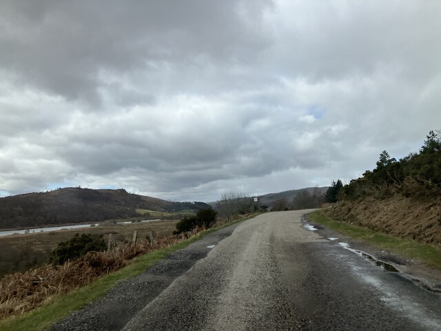
Torroy is a small village located in Ross-shire, Scotland. It is situated near the coast, offering stunning views of the surrounding countryside and the nearby sea. The village is known for its picturesque scenery, with rolling hills and lush greenery all around.

Torroy is a tight-knit community, with a population of around 300 residents. The village has a few local amenities, including a small grocery store, a post office, and a pub. The residents of Torroy are friendly and welcoming, creating a warm and inviting atmosphere for visitors.

The village is a popular destination for hikers and outdoor enthusiasts, with many scenic walking trails and paths to explore. The nearby coastline also offers opportunities for fishing and water sports.

Overall, Torroy is a charming and peaceful village, perfect for those looking to escape the hustle and bustle of city life and enjoy the beauty of the Scottish countryside.

If you have any feedback on the listing, please let us know in the comments section below.
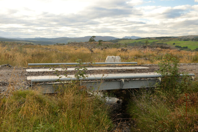
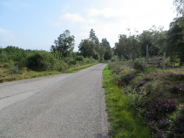
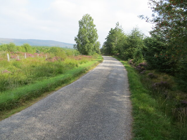
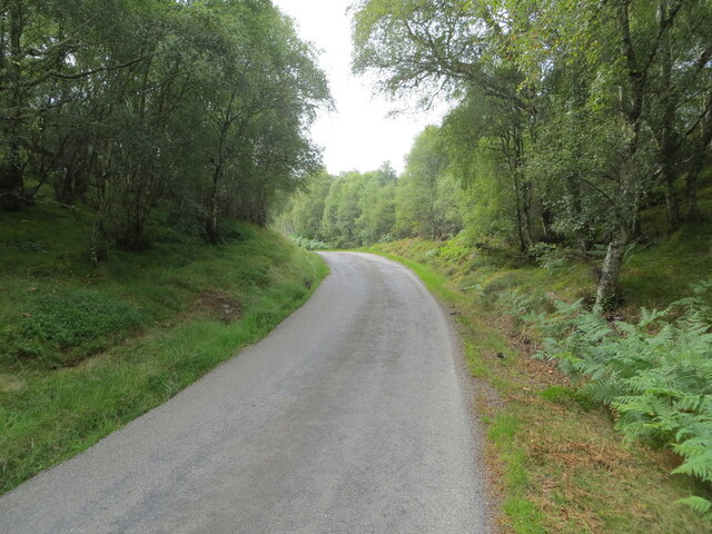
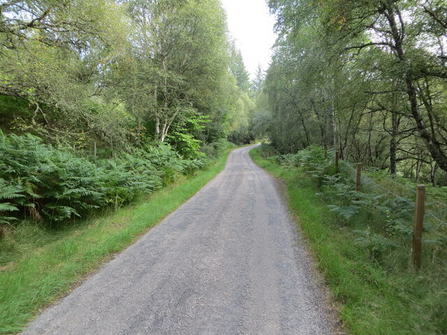
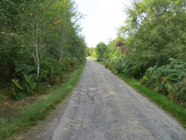
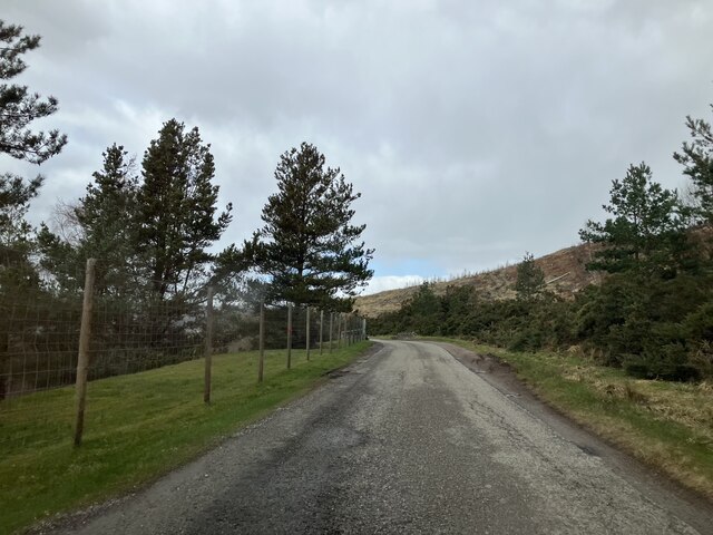
Torroy Images

Images are sourced within 2km of 57.947307/-4.454851 or Grid Reference NH5497. Thanks to Geograph Open Source API. All images are credited.

Small temporary bridge, Ross-shire Carrying a farm track over a small watercourse.
Small temporary bridge, Ross-shire
Carrying a farm track over a small watercourse.
Minor road near to Strathkyle Lodge and House Looking south-eastward.
Minor road near to Strathkyle Lodge and House
Looking south-eastward.
Minor road beside Rhelonie Wood Looking noth-eastward.
Minor road beside Rhelonie Wood
Looking noth-eastward.
Woodland enclosed minor road near to Tòrr Garbh Looking south-westward.
Woodland enclosed minor road near to Tòrr Garbh
Looking south-westward.
Woodland enclosed minor road near to Rhelone Looking eastward.
Woodland enclosed minor road near to Rhelone
Looking eastward.
Minor road beside Carbisdale Wood at Ruie an Taoir Looking north-westward.
Minor road beside Carbisdale Wood at Ruie an Taoir
Looking north-westward.
A837 by Linsidemore, Sutherland
View down Kyle of Sutherland from Linsidemore Wood, Sutherland The river is the Oykel.  The towers of Carbisdale Castle are just visible in the distance.
View down Kyle of Sutherland from Linsidemore Wood, Sutherland
The river is the Oykel. The towers of Carbisdale Castle are just visible in the distance.
The A837 in Strath Oykel, near Linsidemore, Sutherland
Autumn Tree by the A837 at Linsidecroy, Sutherland
A837 near Linsidemore
A837 beside Linsidecroy
A837 near Linsidemore
Road to Rosehall
Road to Rosehall
Strathkyle gatehouse
Hayfield near Linsidemore
Show me another place!

Torroy is located at Grid Ref: NH5497 (Lat: 57.947307, Lng: -4.454851)

Unitary Authority: Highland

Police Authority: Highlands and Islands

What 3 Words

///subplot.bells.smudges. Near Lairg, Highland

Nearby Locations

Torroy

Related Wikis

Rhelonie

Rhelonie (Scottish Gaelic: Ruigh an Lòin) is a crofting hamlet in the Highland region of Scotland. Rhelonie is 2 miles northwest of the village of Culrain...

Linsidemore

Linsidemore (Scottish Gaelic: Lianasaid Mhòr) is a tiny township on the north bank of the Kyle of Sutherland in the Scottish Highlands. It is about 3 miles...

Inveran

Inveran (Scottish Gaelic: Inbhirean) is a small village in the Parish of Creich located in the Sutherland region of the Highland Council area of Scotland...

River Shin

The River Shin (Scottish Gaelic: Abhainn Sin, pronounced [ˈa.ɪɲ ˈʃin]) is a river in the Scottish North West Highlands. The river flows from the southern...

Nearby Amenities

Located within 500m of 57.947307,-4.454851
Passing Place
Lat/Long: 57.9446707/-4.4601483
Post Box
Ref: IV 292
Source: survey
Lat/Long: 57.9460621/-4.4521969
Power: pole
Lat/Long: 57.9510601/-4.4573033
Power: pole
Lat/Long: 57.9514697/-4.4573539
Power: pole
Lat/Long: 57.947673/-4.4465639
Power: pole
Lat/Long: 57.9480644/-4.4475667
Power: pole
Lat/Long: 57.9484498/-4.4485898
Power: pole
Lat/Long: 57.9488412/-4.4495866
Power: pole
Lat/Long: 57.949226/-4.4505975
Power: pole
Lat/Long: 57.9496088/-4.4516044
Power: pole
Lat/Long: 57.9500291/-4.4526741
Power: pole
Lat/Long: 57.9504366/-4.4536971
Power: pole
Lat/Long: 57.9507935/-4.4546169
Power: pole
Lat/Long: 57.9511386/-4.4555407
Power: pole
Lat/Long: 57.9515084/-4.4564524
Power: pole
Lat/Long: 57.9493422/-4.4492827
Passing Place
Lat/Long: 57.9448269/-4.4583516
The data included in this document is from www.openstreetmap.org. The data is made available under ODbL.

Have you been to Torroy?

Leave your review of Torroy below (or comments, questions and feedback).