Tree Park Plantation

Wood, Forest in Fife

Scotland

Tree Park Plantation

Main Street, Newmills
Main Street, Newmills Credit: David Brown

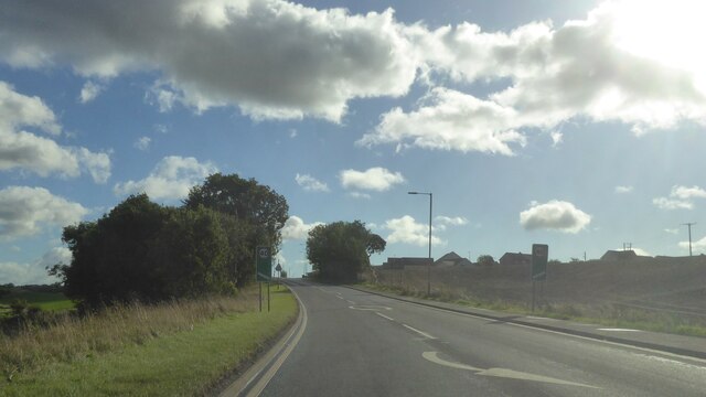
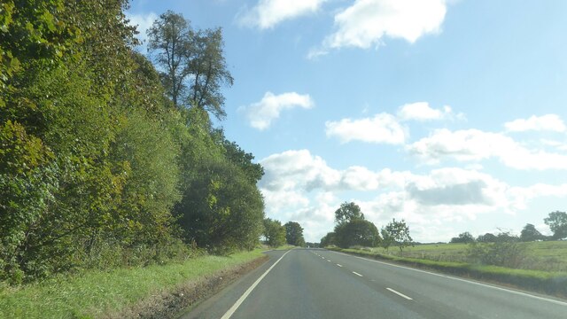
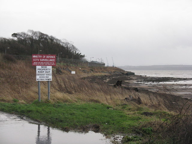
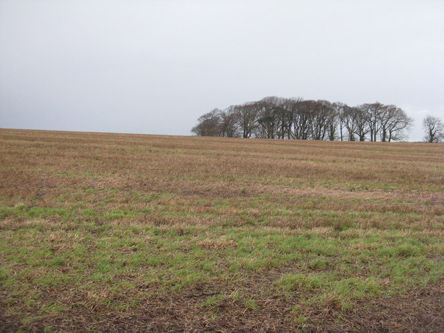
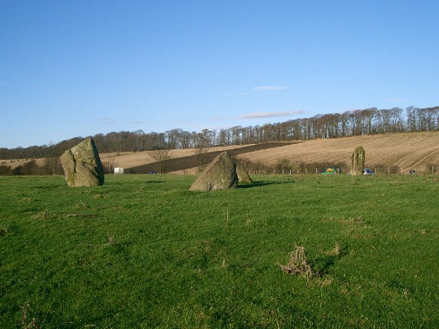
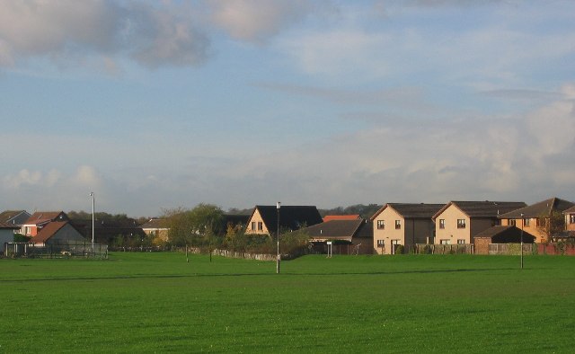
Tree Park Plantation is a magnificent woodland located in Fife, Scotland. Spanning over a vast area, it is a paradise for nature enthusiasts and those seeking tranquility amidst the beauty of trees and forests. The plantation is known for its diverse and lush vegetation, offering a perfect blend of native and exotic species.

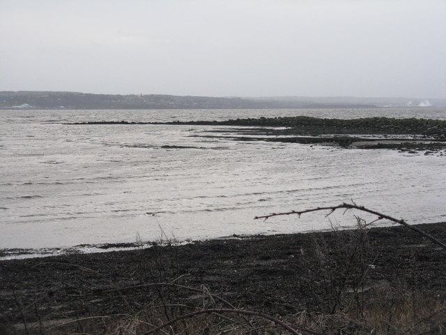
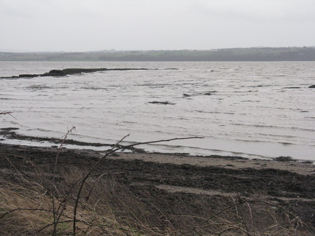
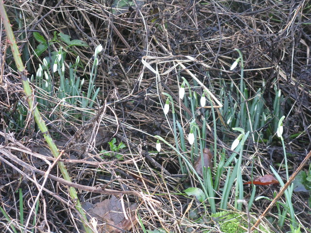
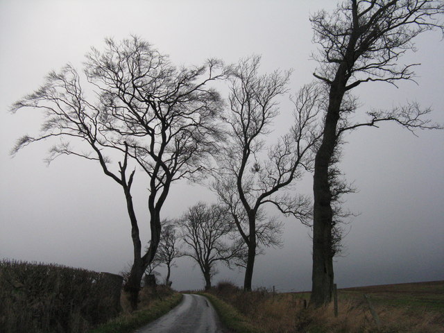
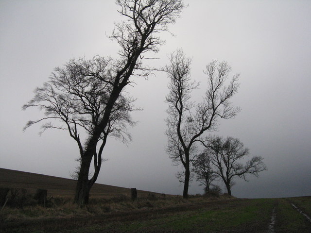
As one explores Tree Park Plantation, they will be mesmerized by the towering giants that dominate the landscape. Towering Scots pines, elegant silver birches, and majestic oak trees are just a few of the species that can be found here. The forest floor is adorned with a carpet of vibrant wildflowers during the spring and summer months, creating a picturesque scene that delights all who visit.

The plantation offers a variety of walking trails, allowing visitors to immerse themselves in the peaceful ambiance and marvel at the natural wonders that surround them. The trails wind through the forest, leading to hidden gems such as tranquil ponds and babbling brooks. Birdwatchers will be thrilled by the diverse avian population, including the elusive Scottish crossbill and the graceful buzzard.

Furthermore, Tree Park Plantation is not only a haven for flora and fauna but also offers recreational activities for all ages. It provides designated areas for picnics, making it an ideal spot for families and friends to gather and enjoy a day out in nature. Additionally, the plantation hosts educational programs and guided tours, aiming to raise awareness about the importance of forests in maintaining a healthy ecosystem.

In conclusion, Tree Park Plantation in Fife is a captivating woodland that showcases the beauty and diversity of Scotland's natural landscape. From its towering trees to its vibrant wildflowers, it offers a delightful experience for anyone seeking solace in nature.

If you have any feedback on the listing, please let us know in the comments section below.

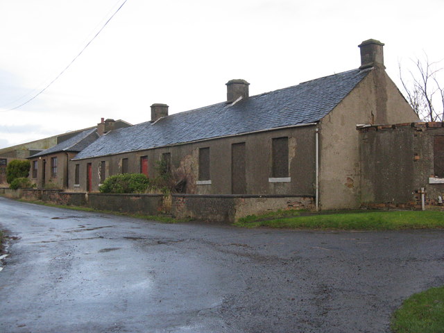
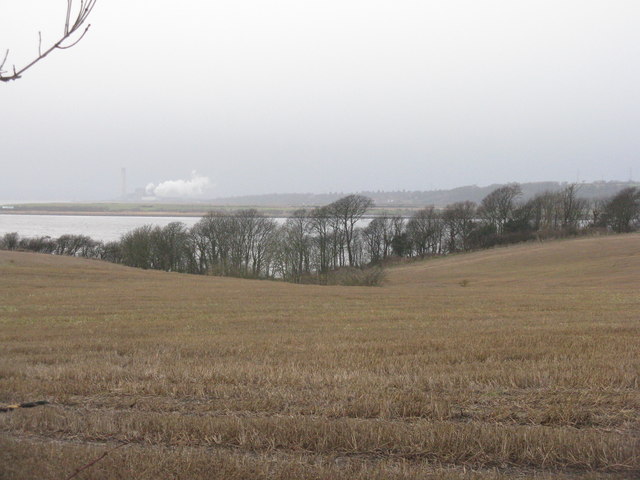
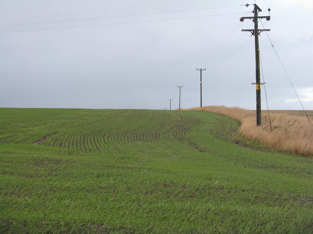
Tree Park Plantation Images

Images are sourced within 2km of 56.057817/-3.5623228 or Grid Reference NT0286. Thanks to Geograph Open Source API. All images are credited.

Main Street, Newmills
A985 approaching Crombie, Fife
A985 north of Newmills, Fife
Garden and fields at Inzievar
Torry Bay Bird Hide Part of an artistic bird hide on the edge of one of the ash lagoons of Torry Bay Nature Reserve near Culross in Fife.
Torry Bay Bird Hide
Part of an artistic bird hide on the edge of one of the ash lagoons of Torry Bay Nature Reserve near Culross in Fife.
Bird Hide Detail Well this bird is not hiding very well! - One of the bird shaped openings for viewing on a bird hide at Torry Bay Nature Reserve near Culross Fife.
Bird Hide Detail
Well this bird is not hiding very well! - One of the bird shaped openings for viewing on a bird hide at Torry Bay Nature Reserve near Culross Fife.
Fore shore at Crombie Point The western boundary of the Defence Munitions Depot at Crombie on the north shore of the Firth of Forth.
Fore shore at Crombie Point
The western boundary of the Defence Munitions Depot at Crombie on the north shore of the Firth of Forth.
Crombie Point Looking across the Firth of Forth to Bo'ness and Grangemouth. A grey day - storm Gertrude was still passing through, although the water seemed relatively undisturbed.
Crombie Point
Looking across the Firth of Forth to Bo'ness and Grangemouth. A grey day - storm Gertrude was still passing through, although the water seemed relatively undisturbed.
The Firth of Forth from Crombie Looking south across Long Craig.
The Firth of Forth from Crombie
Looking south across Long Craig.
January Snowdrops Almost on the shore at Crombie.
January Snowdrops
Almost on the shore at Crombie.
Disused cottages at Bullions On the road to Crombie Point.
Disused cottages at Bullions
On the road to Crombie Point.
The view from Bullions Looking west across the Firth of Forth to Grangemouth.
The view from Bullions
Looking west across the Firth of Forth to Grangemouth.
Winter wheat near Bullions Looking north along the line of the power supply.
Winter wheat near Bullions
Looking north along the line of the power supply.
The road to Crombie Point Trees silhouetted against the clouds of storm Gertrude.
The road to Crombie Point
Trees silhouetted against the clouds of storm Gertrude.
Stubble field with trees Looking north from the road to Crombie Point.
Stubble field with trees
Looking north from the road to Crombie Point.
Trees by the road to Crombie Point Silhouetted against the clouds of the storm Gertrude.
Trees by the road to Crombie Point
Silhouetted against the clouds of the storm Gertrude.
Torry Bay The marine part of the nature reserve. The fence is part of the ash lagoon boundary.
Torry Bay
The marine part of the nature reserve. The fence is part of the ash lagoon boundary.
Torry Pier The name on the map for the emergent rocks in Torry Bay, but I do not know if it has ever been part of such a structure.
Torry Pier
The name on the map for the emergent rocks in Torry Bay, but I do not know if it has ever been part of such a structure.
Show me another place!

Tree Park Plantation is located at Grid Ref: NT0286 (Lat: 56.057817, Lng: -3.5623228)

Unitary Authority: Fife

Police Authority: Fife

What 3 Words

///decompose.spark.onions. Near Cairneyhill, Fife

Related Wikis

Torryburn railway station

Torryburn railway station served the village of Torryburn, Fife, Scotland from 1906 to 1930 on the Kincardine Line. == History == The station was opened...

Torryburn

Torryburn (previously called Torry/ Torrie) is a village and parish in Fife, Scotland, lying on the north shore of the Firth of Forth. It is one of a number...

Cairneyhill railway station

Cairneyhill railway station served the village of Cairneyhill, Fife, Scotland from 1906 to 1930 on the Kincardine Line. == History == The station opened...

Oakley, Fife

Oakley is a village in Fife, Scotland located at the mutual border of Carnock and Culross parishes, Fife, 5+1⁄2 miles (9 kilometres) west of Dunfermline...

Cairneyhill

Cairneyhill is a village in West Fife, Scotland. It is 3 miles west of Dunfermline, on the A994, and has a population of around 2,510 (mid-2020 est.)The...

Preston Island

Preston Island is a former artificial island in the Firth of Forth, Scotland. The reclaimed land was once used for salt production, using local coal. It...

Oakley (Fife) railway station

Oakley (Fife) railway station served the village of Oakley, Fife, Scotland from 1850 to 1986 on the Stirling and Dunfermline Railway. == History == The...

Valleyfield, Fife

Valleyfield consists of High Valleyfield and Low Valleyfield which are neighbouring villages in Fife, Scotland, midway between Dunfermline and Kincardine...

Nearby Amenities

Located within 500m of 56.057817,-3.5623228
Torryburn
Place: village
Source: npe
Wikidata: Q3995788
Wikipedia: en:Torryburn
Lat/Long: 56.0576004/-3.5674876
Turning Circle
Lat/Long: 56.0569913/-3.5612318
Turning Circle
Lat/Long: 56.05588/-3.564421
Post Box
Brand: Royal Mail
Brand Wikidata: Q638098
Brand Wikipedia: en:Royal Mail
Collection Times: Mo-Fr 17:15; Sa 11:45
Operator: Royal Mail
Operator Wikidata: Q638098
Post Box Type: wall
Ref: KY12 161
Royal Cypher: GVIR
Royal Cypher Wikidata: Q33102169
Lat/Long: 56.0579346/-3.5686163
Bus Stop
Eilean Lane
Bench: no
Naptan AtcoCode: 6500D0601
Naptan NaptanCode: 34323946
Shelter: no
Lat/Long: 56.0578255/-3.56871
Booth: K6
Covered: booth
Disused Amenity: telephone
Man Made: telephone_box
Lat/Long: 56.0579281/-3.5684768
Bus Stop
Eilean Lane
Bin: yes
Naptan AtcoCode: 6500D0600
Naptan NaptanCode: 34323952
Shelter: yes
Lat/Long: 56.0579506/-3.5687784
Bus Stop
Parish Church
Bench: no
Shelter: no
Lat/Long: 56.0580103/-3.5652132
Bus Stop
Parish Church
Bus: yes
Departures Board: timetable
Naptan AtcoCode: 6500D1065
Naptan NaptanCode: 34323947
Network: Fife
Operator: Stagecoach
Public Transport: platform
Surface: tactile_paving
Lat/Long: 56.0579084/-3.5652831
Barrier: block
Bicycle: yes
Fixme: barrier type
Foot: yes
Horse: yes
Motor Vehicle: no
Lat/Long: 56.057133/-3.5694266
Power: pole
Lat/Long: 56.0599858/-3.556044
Power: pole
Lat/Long: 56.0598746/-3.5567313
Power: pole
Lat/Long: 56.0596721/-3.557787
Power: pole
Lat/Long: 56.0594365/-3.5591312
Power: pole
Lat/Long: 56.0590274/-3.5606747
Power: pole
Lat/Long: 56.0587678/-3.5617611
Power: pole
Lat/Long: 56.0584711/-3.5630487
Power: pole
Lat/Long: 56.0584809/-3.5653561
Power: pole
Lat/Long: 56.0584732/-3.564049
Power: pole
Lat/Long: 56.0585932/-3.5662197
Power: pole
Lat/Long: 56.0587089/-3.5670931
Power: pole
Lat/Long: 56.0588583/-3.5681892
Power: pole
Lat/Long: 56.0585692/-3.568281
Power: pole
Lat/Long: 56.053571/-3.5619386
Power: pole
Lat/Long: 56.0589546/-3.5695658
Addr Housenumber: 78
Addr Street: Main Street
Lat/Long: 56.0581724/-3.5696087
Addr Housenumber: 76
Addr Street: Main Street
Lat/Long: 56.0581419/-3.569466
Addr Housenumber: 74
Addr Street: Main Street
Lat/Long: 56.0581484/-3.5693263
Addr Housenumber: 72
Addr Street: Main Street
Lat/Long: 56.0581543/-3.5691994
Addr Housenumber: 70
Addr Street: Main Street
Lat/Long: 56.0581475/-3.5690209
Addr Housenumber: 68
Addr Street: Main Street
Lat/Long: 56.058093/-3.5690091
Addr Housenumber: 66
Addr Street: Main Street
Lat/Long: 56.0580377/-3.5689971
Addr Housenumber: 64
Addr Street: Main Street
Lat/Long: 56.0579345/-3.5685544
Addr Housename: Craigmyle
Addr Housenumber: 62
Addr Street: Main Street
Lat/Long: 56.057957/-3.5682321
Addr Housenumber: 60
Addr Street: Main Street
Lat/Long: 56.0579634/-3.5680582
Addr Housename: The School House
Addr Housenumber: 58
Addr Street: Main Street
Lat/Long: 56.0579757/-3.5678428
Addr Housenumber: 56
Addr Street: Main Street
Lat/Long: 56.0579797/-3.5676294
Addr Housenumber: 54
Addr Street: Main Street
Lat/Long: 56.0579837/-3.5674532
Addr Housenumber: 52
Addr Street: Main Street
Lat/Long: 56.0579914/-3.5673489
Addr Housenumber: 50
Addr Street: Main Street
Lat/Long: 56.0579986/-3.5672522
Addr Housenumber: 8
Addr Street: Orchard Terrace
Lat/Long: 56.0580686/-3.567059
Addr Housenumber: 7
Addr Street: Orchard Terrace
Lat/Long: 56.058072/-3.566888
Addr Housenumber: 6
Addr Street: Orchard Terrace
Lat/Long: 56.0580732/-3.5668305
Addr Housenumber: 5
Addr Street: Orchard Terrace
Lat/Long: 56.0580765/-3.5666654
Addr Housenumber: 4
Addr Street: Orchard Terrace
Lat/Long: 56.0581385/-3.5664395
Addr Housenumber: 3
Addr Street: Orchard Terrace
Lat/Long: 56.0581436/-3.5662625
Addr Housenumber: 2
Addr Street: Orchard Terrace
Lat/Long: 56.0581422/-3.5659929
Addr Housenumber: 1
Addr Street: Orchard Terrace
Lat/Long: 56.0581475/-3.5658078
Bench
Backrest: no
Lat/Long: 56.0562283/-3.5695758
Traffic Calming: cushion
Lat/Long: 56.0580597/-3.5694714
Bench
Backrest: yes
Lat/Long: 56.0541035/-3.5664823
The data included in this document is from www.openstreetmap.org. The data is made available under ODbL.

Have you been to Tree Park Plantation?

Leave your review of Tree Park Plantation below (or comments, questions and feedback).