Drum Plantation

Wood, Forest in Fife

Scotland

Drum Plantation

Main Street, Newmills
Main Street, Newmills Credit: David Brown

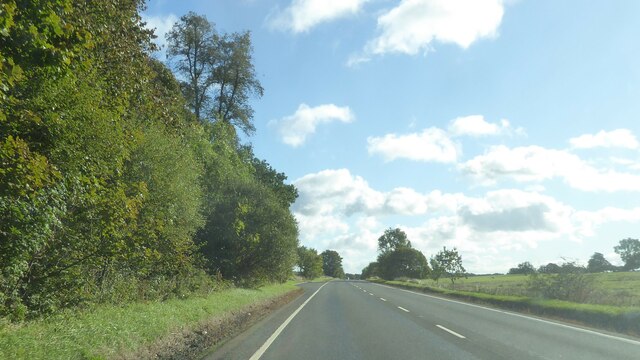
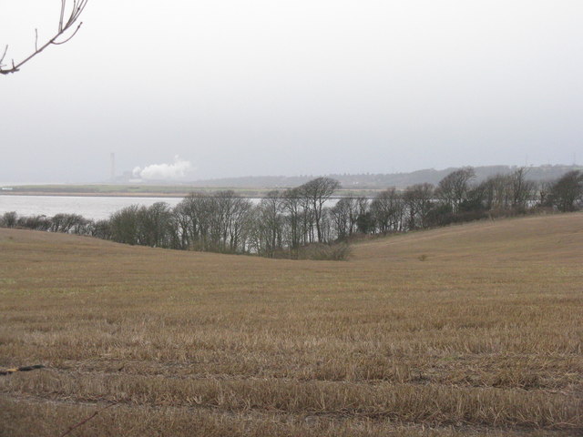
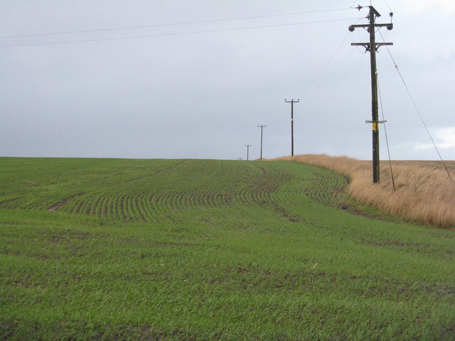
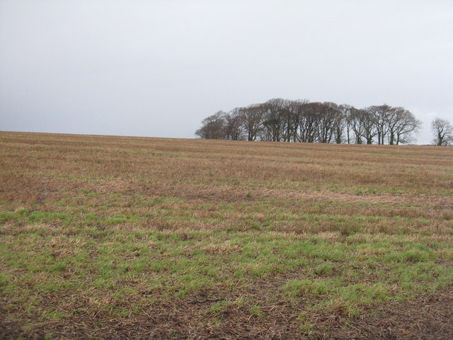
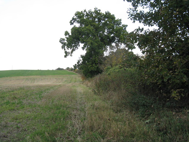
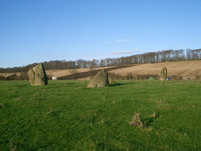
Drum Plantation is a picturesque woodland located in the Scottish region of Fife. Situated near the village of Crossford, this expansive forest covers an area of approximately 300 hectares. The site is managed by Forestry and Land Scotland and serves as an important recreational and conservation area.

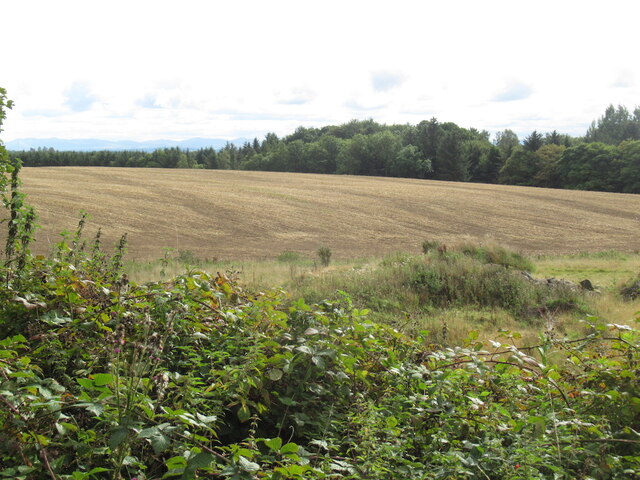
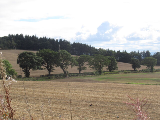
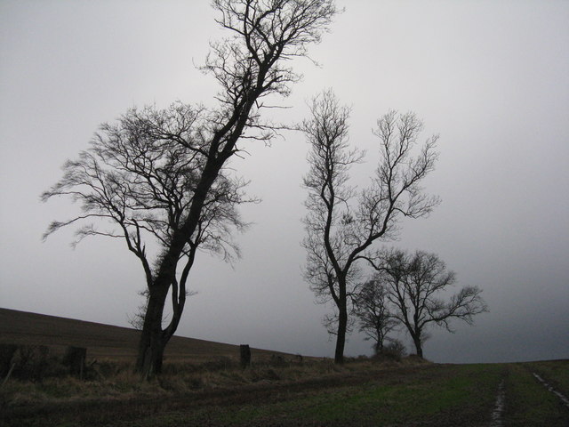
The woodland is predominantly composed of native broadleaf species, including oak, birch, and beech trees, creating a diverse and vibrant ecosystem. The thick canopy provides a haven for a wide range of wildlife, including deer, squirrels, and various bird species. Walking through the plantation, visitors can enjoy the tranquil atmosphere while immersing themselves in the beauty of nature.

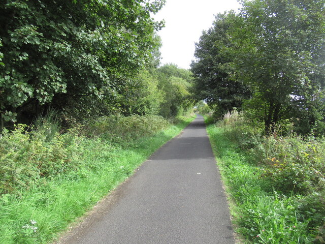
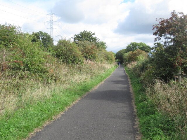
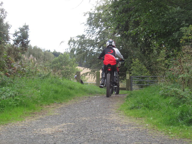
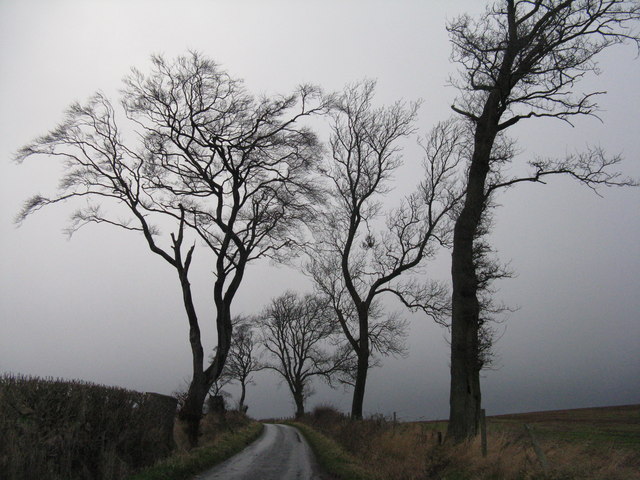
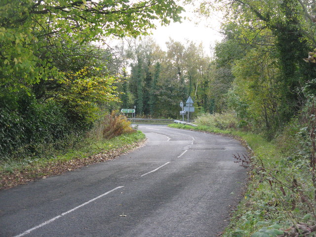
Drum Plantation offers an extensive network of well-maintained trails, making it a popular destination for walkers, joggers, and cyclists. The paths wind through the forest, providing opportunities for exploration and discovery. Additionally, the plantation is equipped with picnic sites and rest areas, allowing visitors to relax and enjoy a peaceful break surrounded by the sounds of nature.

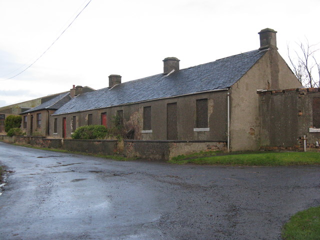
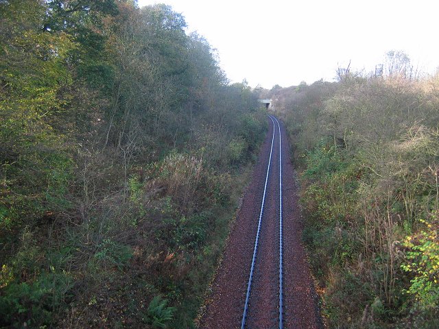
The site also holds historical significance, with remnants of old buildings and ruins scattered throughout the woodland, serving as a reminder of its past. Drum Plantation offers a glimpse into the region's rich heritage, providing a unique blend of natural beauty and historical intrigue.

Overall, Drum Plantation in Fife is a delightful destination for nature enthusiasts and history lovers alike. With its breathtaking scenery, diverse wildlife, and well-maintained trails, it promises a memorable experience for visitors seeking solace and serenity in the heart of the Scottish countryside.

If you have any feedback on the listing, please let us know in the comments section below.

Drum Plantation Images

Images are sourced within 2km of 56.065356/-3.5601542 or Grid Reference NT0286. Thanks to Geograph Open Source API. All images are credited.

Main Street, Newmills
A985 north of Newmills, Fife
Garden and fields at Inzievar
Stirling and Dunfermline Railway trackbed Now a popular rails to trails conversion and very useful cyclepath.
Stirling and Dunfermline Railway trackbed
Now a popular rails to trails conversion and very useful cyclepath.
Stubble near Oakley
Stubble near Oakley
Rails to trails by Carnock The Dunfermline to Alloa railway trackbed is a long established cycle path.
Rails to trails by Carnock
The Dunfermline to Alloa railway trackbed is a long established cycle path.
Stubble and Dean Plantation View from the old railway trackbed.
Stubble and Dean Plantation
View from the old railway trackbed.
Motor bikes, Dunfermline to Clackmannan cycle path A constant problem keeping a refuge like a cycle and walking path free from motorised traffic. The pests have had a resurgence due to cheaper electric bikes (proper motorbikes, not assisted pedalling).
The path was busy today with families and lots of young children.
Motor bikes, Dunfermline to Clackmannan cycle path
A constant problem keeping a refuge like a cycle and walking path free from motorised traffic. The pests have had a resurgence due to cheaper electric bikes (proper motorbikes, not assisted pedalling). The path was busy today with families and lots of young children.
Disused cottages at Bullions On the road to Crombie Point.
Disused cottages at Bullions
On the road to Crombie Point.
The view from Bullions Looking west across the Firth of Forth to Grangemouth.
The view from Bullions
Looking west across the Firth of Forth to Grangemouth.
Winter wheat near Bullions Looking north along the line of the power supply.
Winter wheat near Bullions
Looking north along the line of the power supply.
The road to Crombie Point Trees silhouetted against the clouds of storm Gertrude.
The road to Crombie Point
Trees silhouetted against the clouds of storm Gertrude.
Stubble field with trees Looking north from the road to Crombie Point.
Stubble field with trees
Looking north from the road to Crombie Point.
Trees by the road to Crombie Point Silhouetted against the clouds of the storm Gertrude.
Trees by the road to Crombie Point
Silhouetted against the clouds of the storm Gertrude.
Torry Pier The name on the map for the emergent rocks in Torry Bay, but I do not know if it has ever been part of such a structure.
Torry Pier
The name on the map for the emergent rocks in Torry Bay, but I do not know if it has ever been part of such a structure.
Tuilyies Standing Stones The name "Tuilyies" is a corruption of the Scottish word "tulzie" signifying a fight. The stones are said to mark the graves of chieftains who died here in an alleged battle.
Tuilyies Standing Stones
The name "Tuilyies" is a corruption of the Scottish word "tulzie" signifying a fight. The stones are said to mark the graves of chieftains who died here in an alleged battle.
Field margin near Valleyfield Hedge separating stubble and grass from the road up Clinkum Bank.
Field margin near Valleyfield
Hedge separating stubble and grass from the road up Clinkum Bank.
Road junction near Valleyfield The road from Oakley joins the A985.
Road junction near Valleyfield
The road from Oakley joins the A985.
Show me another place!

Drum Plantation is located at Grid Ref: NT0286 (Lat: 56.065356, Lng: -3.5601542)

Unitary Authority: Fife

Police Authority: Fife

What 3 Words

///delight.reports.nicknames. Near Cairneyhill, Fife

Related Wikis

Oakley, Fife

Oakley is a village in Fife, Scotland located at the mutual border of Carnock and Culross parishes, Fife, 5+1⁄2 miles (9 kilometres) west of Dunfermline...

Torryburn railway station

Torryburn railway station served the village of Torryburn, Fife, Scotland from 1906 to 1930 on the Kincardine Line. == History == The station was opened...

Cairneyhill railway station

Cairneyhill railway station served the village of Cairneyhill, Fife, Scotland from 1906 to 1930 on the Kincardine Line. == History == The station opened...

Cairneyhill

Cairneyhill is a village in West Fife, Scotland. It is 3 miles west of Dunfermline, on the A994, and has a population of around 2,510 (mid-2020 est.)The...

Torryburn

Torryburn (previously called Torry/ Torrie) is a village and parish in Fife, Scotland, lying on the north shore of the Firth of Forth. It is one of a number...

Oakley (Fife) railway station

Oakley (Fife) railway station served the village of Oakley, Fife, Scotland from 1850 to 1986 on the Stirling and Dunfermline Railway. == History == The...

Carnock

Carnock (Scottish Gaelic: A' Chàrnaich) is a village and parish of Fife, Scotland, 4+1⁄4 miles (7 kilometres) west of Dunfermline. It is 1+1⁄4 miles (2...

Comrie, Fife

Comrie ( locally or ); is a village in Fife, Scotland, located immediately west of the neighbouring village of Oakley, 6.2 miles (9.98 km) west of Dunfermline...

Nearby Amenities

Located within 500m of 56.065356,-3.5601542
Parking
Access: yes
Fee: no
Parking: layby
Source: Bing
Lat/Long: 56.0627457/-3.5611101
Tuilyies Standing Stones
Access: permissive
Archaeological Site: megalith
Historic: archaeological_site
Historic Civilization: prehistoric
Wikidata: Q73118027
Wikimedia Commons: Category:Tuilyies_Standing_Stones
Lat/Long: 56.0623652/-3.5608362
Power: pole
Lat/Long: 56.0666176/-3.5530047
Power: pole
Lat/Long: 56.0666828/-3.5544311
Power: pole
Lat/Long: 56.0667435/-3.5557605
Power: pole
Lat/Long: 56.0667943/-3.5570919
Power: pole
Lat/Long: 56.0668871/-3.5579761
Power: pole
Lat/Long: 56.0669821/-3.5588229
Power: pole
Lat/Long: 56.0673233/-3.5586844
Power: pole
Lat/Long: 56.0680157/-3.558722
Power: pole
Lat/Long: 56.0686838/-3.5587576
Material: wood
Power: pole
Lat/Long: 56.0637882/-3.5527614
Waste Basket
Lat/Long: 56.0627239/-3.5610888
The data included in this document is from www.openstreetmap.org. The data is made available under ODbL.

Have you been to Drum Plantation?

Leave your review of Drum Plantation below (or comments, questions and feedback).