Torrylinn
Settlement in Buteshire
Scotland
Torrylinn
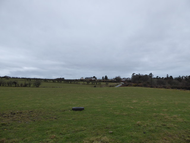
Torrylinn is a small coastal village situated on the southern coast of the Isle of Arran, which is part of the Buteshire council area in Scotland. With a population of around 200 residents, the village is known for its peaceful and picturesque surroundings.
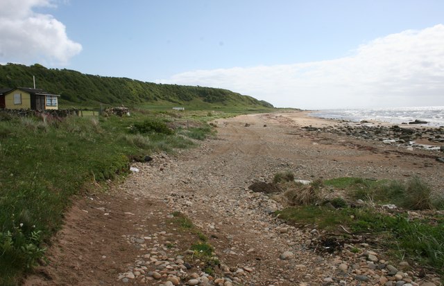
The village is nestled between the rugged mountains of the island and the beautiful sandy beach of Torry Bay. Its location offers stunning views of the Firth of Clyde and the Ayrshire coast. The beach itself is a popular spot for locals and visitors alike, where they can enjoy long walks, picnics, and even water sports during the summer months.
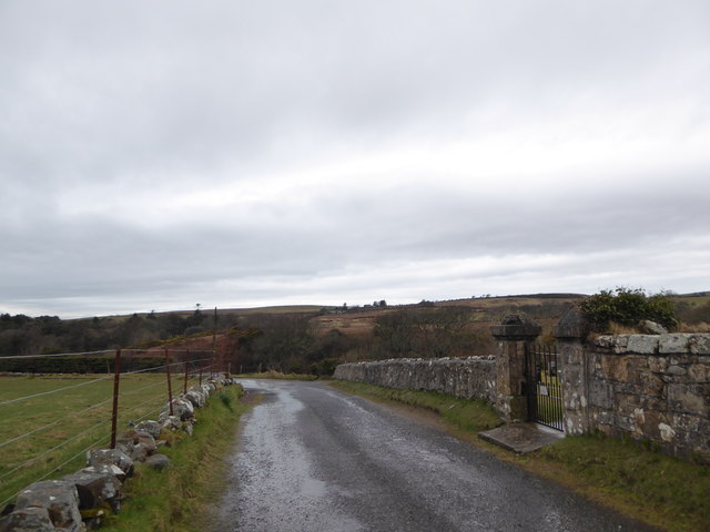
Torrylinn is well-connected to other parts of the island, with a regular bus service that allows residents to easily access the nearby towns of Lamlash and Brodick. The village also has a primary school, community hall, and a post office, which serves as a central hub for the locals.
Nature lovers will find plenty to explore in Torrylinn, as the village is surrounded by abundant wildlife and natural beauty. The area is home to various bird species, including gannets, puffins, and guillemots, making it a haven for birdwatchers. Additionally, a short distance away lies the impressive Glenashdale Falls, a magnificent waterfall that cascades over towering cliffs into a deep gorge.
Overall, Torrylinn offers a serene and idyllic escape for those seeking tranquility and natural wonders, making it an attractive destination for tourists and a cherished home for its residents.
If you have any feedback on the listing, please let us know in the comments section below.
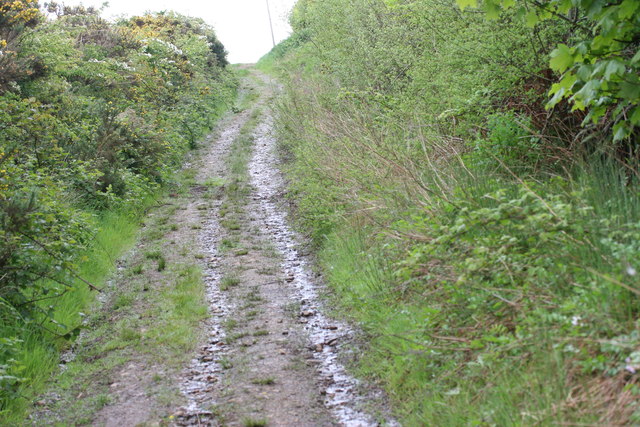
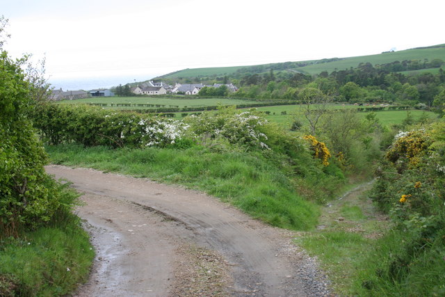
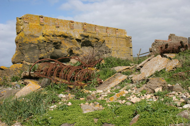
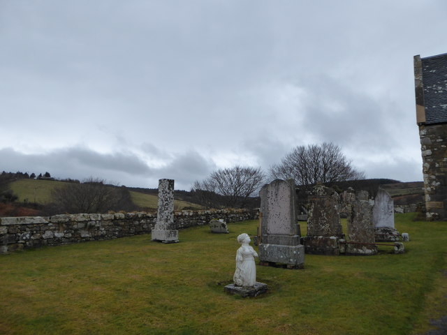
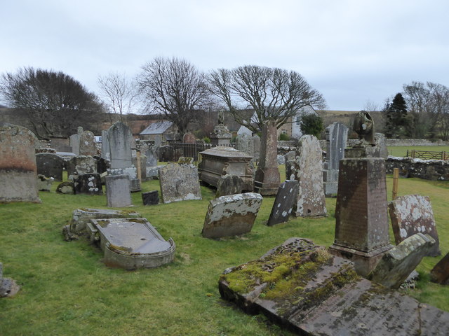
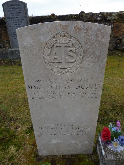
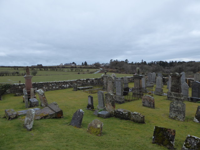
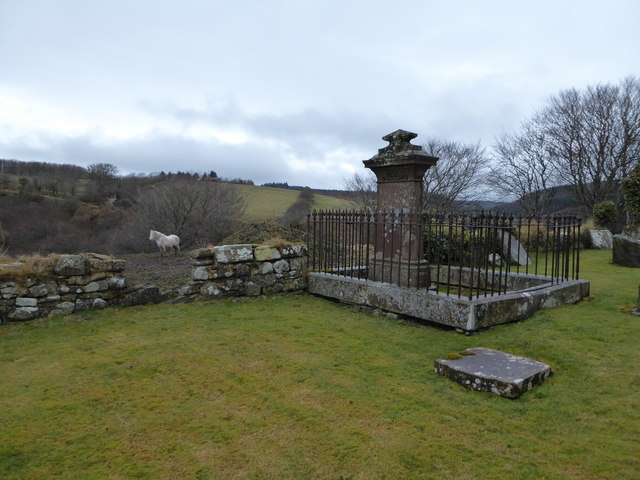
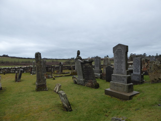
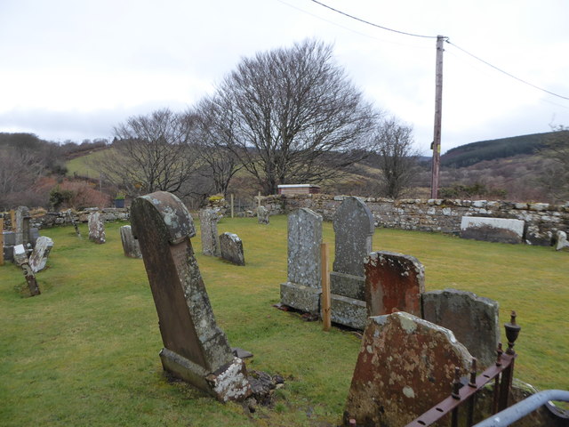
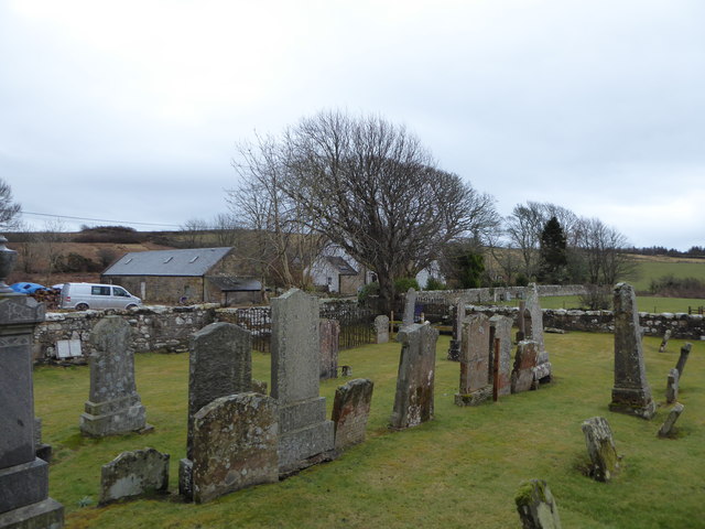
Torrylinn Images
Images are sourced within 2km of 55.440668/-5.2175382 or Grid Reference NR9621. Thanks to Geograph Open Source API. All images are credited.

Torrylinn is located at Grid Ref: NR9621 (Lat: 55.440668, Lng: -5.2175382)
Unitary Authority: North Ayrshire
Police Authority: Ayrshire
What 3 Words
///haggle.canine.suave. Near Kildonan, North Ayrshire
Nearby Locations
Related Wikis

Kilmory, Arran
Kilmory (Scottish Gaelic: Cill Mhoire) is a small village on the south coast of the Isle of Arran, located on the coastal road between Lagg and Kildonan...

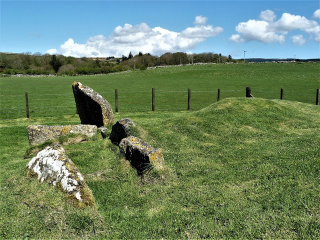
Torrylin Cairn
Torrylin Cairn is the remains of a Neolithic chambered tomb. It is located near Kilmory on the Isle of Arran in Scotland (grid reference NR95532108)....

Lagg, Arran
Lagg (Scottish Gaelic: An Lag) is a hamlet on southern coast of the Isle of Arran in Scotland made up of a few houses and a hotel. The hamlet is within...

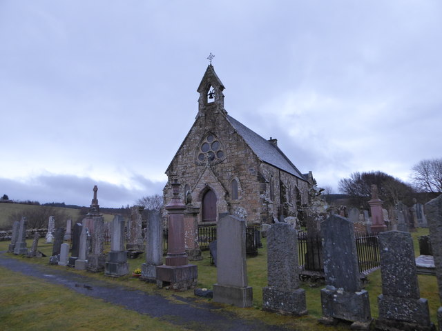
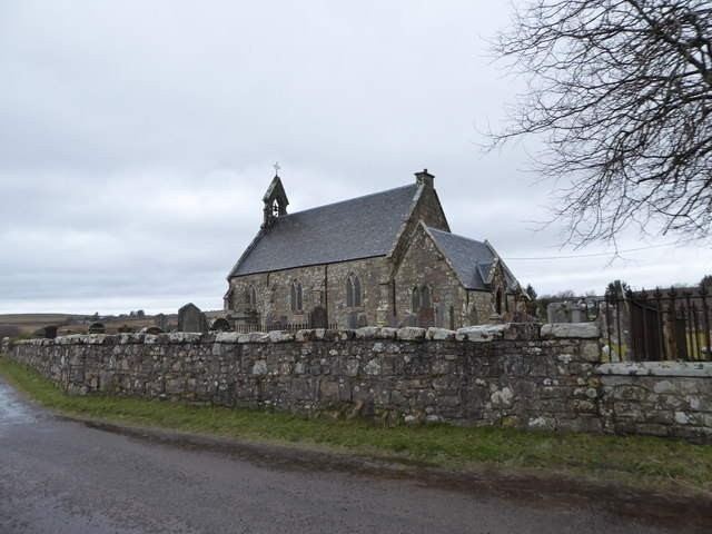
Bennecarrigan Free Church
The Bennecarrigan Free Church is a place of worship of the Free Church of Scotland in Kilmory, on the island of Arran, Scotland. The church was built...

Sliddery
Sliddery (Gaelic: Slaodraidh) is a tiny hamlet located on the Southwest coast of the Isle of Arran in Scotland. The village is situated near the Ross road...

Torr a'Chaisteal
Torr a'Chaisteal (or Torr a'Chaisteil) is an Iron Age fort (dun), located about 1 mile (2 kilometres) northeast of the village of Sliddery, on the Isle...
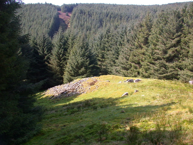
Carn Ban, Arran
Carn Ban is a Neolithic chambered tomb located on the Isle of Arran in Scotland (grid reference NR99102618). == Description == Carn Ban is situated in...

Pladda
Pladda (Scottish Gaelic: Pladaigh) is an uninhabited island 1 km (0.62 mi) off the south coast of the Isle of Arran in the Firth of Clyde at grid reference...
Nearby Amenities
Located within 500m of 55.440668,-5.2175382Have you been to Torrylinn?
Leave your review of Torrylinn below (or comments, questions and feedback).