Kilmory

Settlement in Buteshire

Scotland

Kilmory

Track near Kilmory Church This muddy track leads from just east of Kilmory Church up the hill towards Kilmory Farm.
Track near Kilmory Church Credit: Richard Sutcliffe

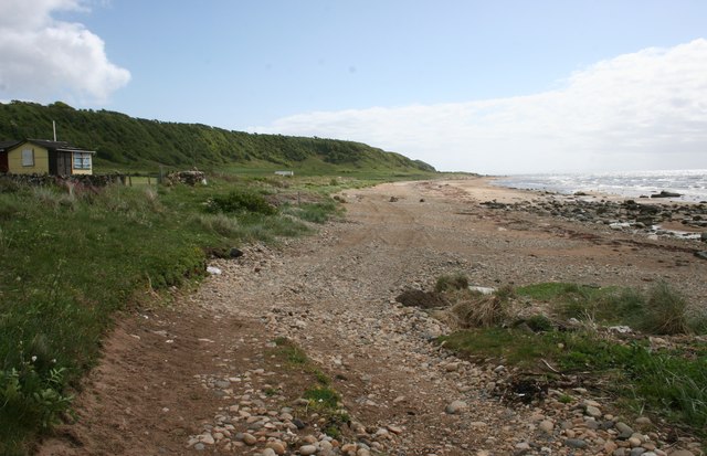
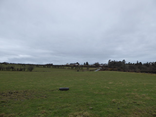
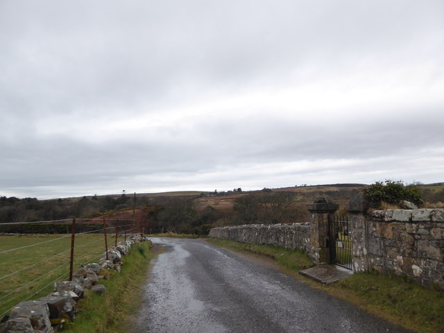
Kilmory is a small village located on the Isle of Bute in the county of Buteshire, Scotland. Situated on the western coast of the island, it is bordered by the picturesque Kyles of Bute, offering breathtaking views of the surrounding natural beauty.

With a population of approximately 200 people, Kilmory is a close-knit community known for its peaceful and tranquil environment. The village is predominantly residential, consisting of a small cluster of houses and cottages. Many of the buildings in Kilmory showcase traditional Scottish architecture, adding to its charm and character.

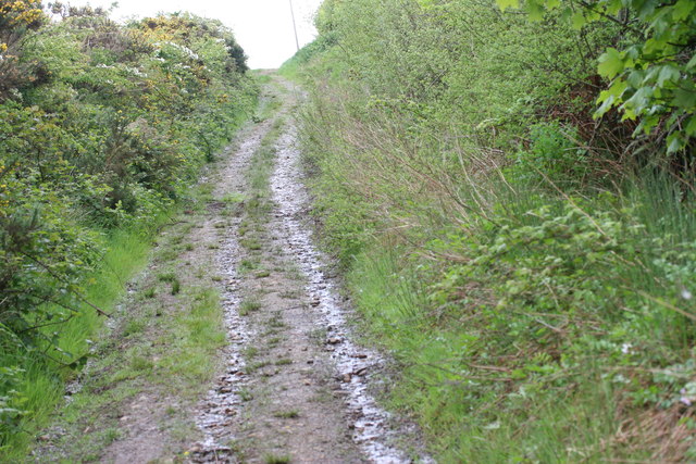
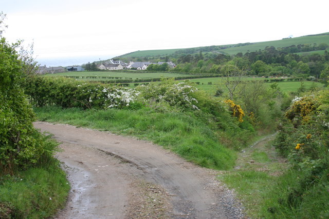
Despite its small size, Kilmory boasts a number of amenities for its residents. These include a community hall, a primary school, a local convenience store, and a post office, ensuring that basic needs are easily met within the village itself. Additionally, there are several walking and cycling trails in the area, allowing residents and visitors to explore the beautiful countryside surrounding Kilmory.

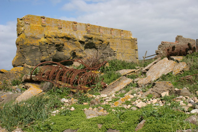
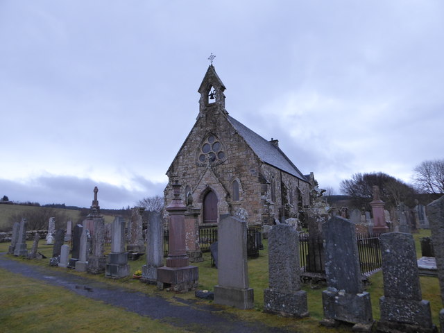
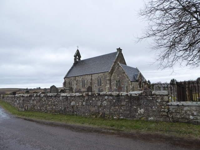
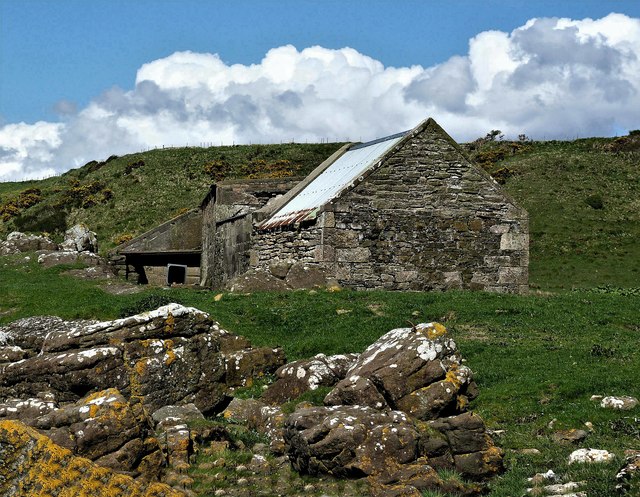
The village is also home to a rich history. Nearby attractions include the ruins of Kilmory Castle, a 16th-century tower house that once served as a stronghold for the local feudal lords. The castle, although now in ruins, offers glimpses into the past and attracts history enthusiasts.

Overall, Kilmory is a charming and idyllic village that offers a peaceful escape from the hustle and bustle of urban life. With its stunning natural surroundings and sense of community, it is a hidden gem on the Isle of Bute.

If you have any feedback on the listing, please let us know in the comments section below.
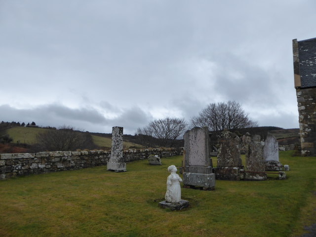
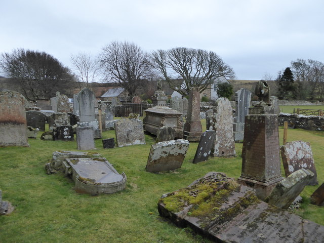
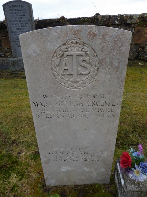
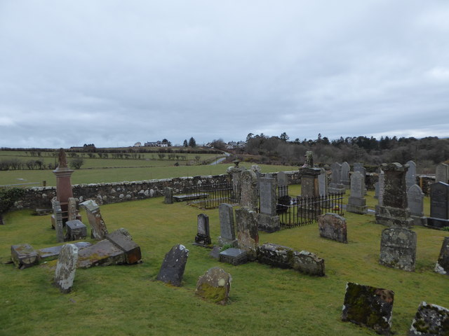
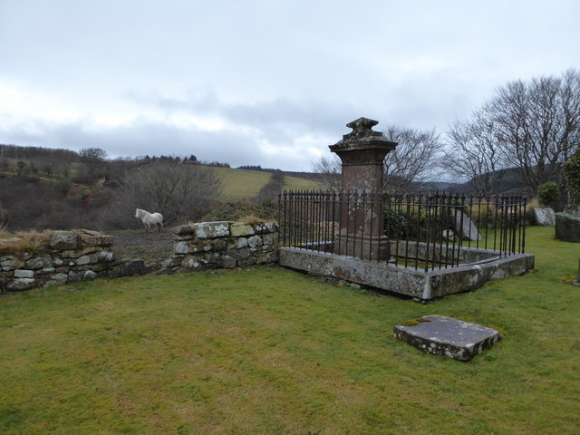
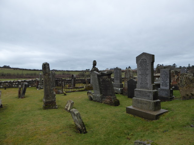
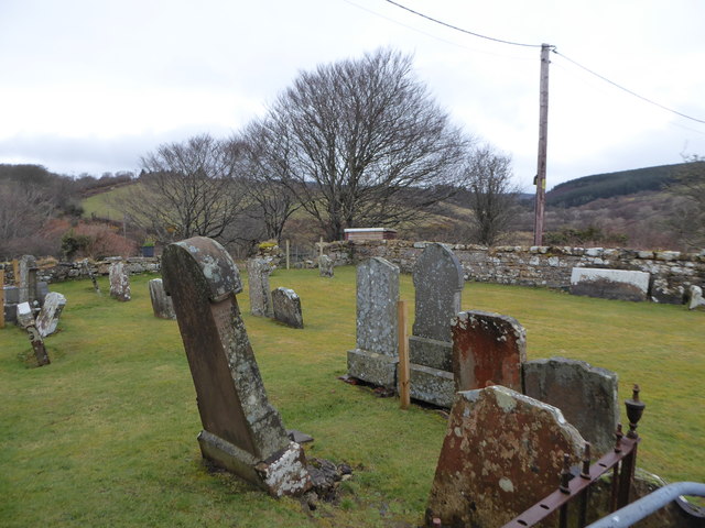
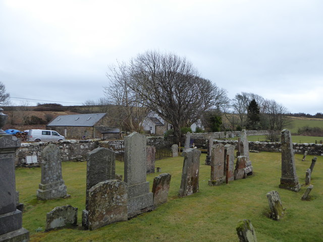
Kilmory Images

Images are sourced within 2km of 55.44498/-5.226696 or Grid Reference NR9621. Thanks to Geograph Open Source API. All images are credited.

Track near Kilmory Church This muddy track leads from just east of Kilmory Church up the hill towards Kilmory Farm.
Track near Kilmory Church
This muddy track leads from just east of Kilmory Church up the hill towards Kilmory Farm.
Rough road from High Kilmory The unmetalled road turning to the left runs from High Kilmory and Kilmory Farm down to the 'main' road (actually a 'yellow' road, but also the only road across the southern end of Arran). The track to the right leads down to Kilmory Church. The houses in the distance form the small village of Kilmory itself.
Rough road from High Kilmory
The unmetalled road turning to the left runs from High Kilmory and Kilmory Farm down to the 'main' road (actually a 'yellow' road, but also the only road across the southern end of Arran). The track to the right leads down to Kilmory Church. The houses in the distance form the small village of Kilmory itself.
Beach near Cleiteadh Buidhe A small cabin overlooks the beach.
Beach near Cleiteadh Buidhe
A small cabin overlooks the beach.
Ruined building near Cleiteadh Buidhe The remains of a building beside the shore. The builders took advantage of the natural upright position of an igneous dyke. Concrete was added to the natural 'wall' to make some kind of storage building. The old rusty farm equipment may once have been kept inside.
Ruined building near Cleiteadh Buidhe
The remains of a building beside the shore. The builders took advantage of the natural upright position of an igneous dyke. Concrete was added to the natural 'wall' to make some kind of storage building. The old rusty farm equipment may once have been kept inside.
Looking south from Kilmory Kirk
Rush hour in Kilmory
Kilmory Kirk: from the south-west
Kilmory Kirk: from the south-east
Gravestones, Kilmory Kirk (a)
Gravestones, Kilmory Kirk (b)
Gravestones, Kilmory Kirk (c) Also see <span class="nowrap"><a title="https://www.cwgc.org/find-war-dead/casualty/2457609/crossley,-mary-mclean/" rel="nofollow ugc noopener" href="https://www.cwgc.org/find-war-dead/casualty/2457609/crossley,-mary-mclean/">Link</a><img style="margin-left:2px;" alt="External link" title="External link - shift click to open in new window" src="https://s1.geograph.org.uk/img/external.png" width="10" height="10"/></span>
Gravestones, Kilmory Kirk (c)
Also see LinkExternal link
Gravestones, Kilmory Kirk (d)
Gravestones, Kilmory Kirk (e)
Gravestones, Kilmory Kirk (f)
Gravestones, Kilmory Kirk (g)
Gravestones, Kilmory Kirk (h)
Cleiteadh, Cleats Shore - Isle of Arran The farm of Cleiteadh lies derelict on Cleats Shore, Isle of Arran.
Cleiteadh, Cleats Shore - Isle of Arran
The farm of Cleiteadh lies derelict on Cleats Shore, Isle of Arran.
Torrylin Chambered Cairn - Isle of Arran Torrylin Chambered Cairn is situated beside Torrylinn Water just south of the hamlet of Lagg.

The cairn has been interfered with by stone robbing and later dumping of field stones and its original shape and size are uncertain. The chamber is 6.7 metres long by about 1.2 metres wide with each compartment about 1.4 metres long. Torrylin Cairn is of a type found across south-west Scotland known as a Clyde cairn, of which a better preserved example can be found at Carn Ban, about 3 miles to the northeast. The tomb would probably have had a crescent-shaped forecourt, framed by a façade of slender upright stones.

Antiquarian excavations in the 19th century uncovered an elongated burial chamber, divided into four compartments. Only the innermost compartment was intact. It contained the remains of six adults, a child and an infant. Beside them lay a flint tool and a fragment of pottery.

Source of information : Wikipedia, the free encyclopedia.
Torrylin Chambered Cairn - Isle of Arran
Torrylin Chambered Cairn is situated beside Torrylinn Water just south of the hamlet of Lagg. The cairn has been interfered with by stone robbing and later dumping of field stones and its original shape and size are uncertain. The chamber is 6.7 metres long by about 1.2 metres wide with each compartment about 1.4 metres long. Torrylin Cairn is of a type found across south-west Scotland known as a Clyde cairn, of which a better preserved example can be found at Carn Ban, about 3 miles to the northeast. The tomb would probably have had a crescent-shaped forecourt, framed by a façade of slender upright stones. Antiquarian excavations in the 19th century uncovered an elongated burial chamber, divided into four compartments. Only the innermost compartment was intact. It contained the remains of six adults, a child and an infant. Beside them lay a flint tool and a fragment of pottery. Source of information : Wikipedia, the free encyclopedia.
Show me another place!

Kilmory is located at Grid Ref: NR9621 (Lat: 55.44498, Lng: -5.226696)

Unitary Authority: North Ayrshire

Police Authority: Ayrshire

What 3 Words

///occurs.giraffes.rooting. Near Kildonan, North Ayrshire

Related Wikis

Kilmory, Arran

Kilmory (Scottish Gaelic: Cill Mhoire) is a small village on the south coast of the Isle of Arran, located on the coastal road between Lagg and Kildonan...

Lagg, Arran

Lagg (Scottish Gaelic: An Lag) is a hamlet on southern coast of the Isle of Arran in Scotland made up of a few houses and a hotel. The hamlet is within...
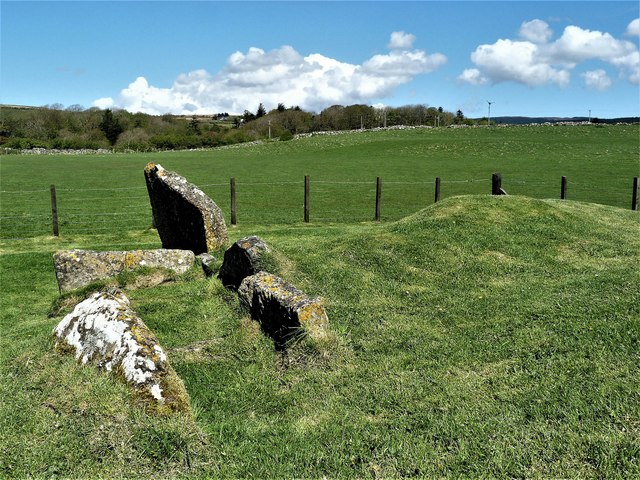
Torrylin Cairn

Torrylin Cairn is the remains of a Neolithic chambered tomb. It is located near Kilmory on the Isle of Arran in Scotland (grid reference NR95532108)....

Bennecarrigan Free Church

The Bennecarrigan Free Church is a place of worship of the Free Church of Scotland in Kilmory, on the island of Arran, Scotland. The church was built...

Sliddery

Sliddery (Gaelic: Slaodraidh) is a tiny hamlet located on the Southwest coast of the Isle of Arran in Scotland. The village is situated near the Ross road...

Torr a'Chaisteal

Torr a'Chaisteal (or Torr a'Chaisteil) is an Iron Age fort (dun), located about 1 mile (2 kilometres) northeast of the village of Sliddery, on the Isle...
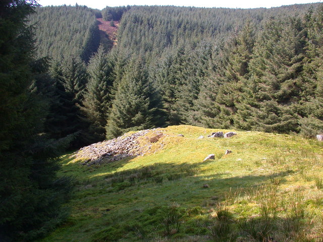
Carn Ban, Arran

Carn Ban is a Neolithic chambered tomb located on the Isle of Arran in Scotland (grid reference NR99102618). == Description == Carn Ban is situated in...
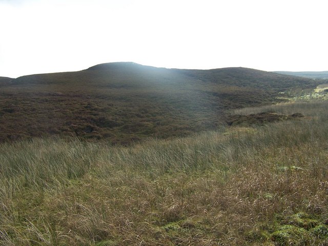
Tighvein

Tighvein (Scottish Gaelic: Taobh Bheinn) is a hill above Lamlash on the Isle of Arran in western Scotland. It is a Marilyn (a hill with topographic prominence...

Nearby Amenities

Located within 500m of 55.44498,-5.226696
Lagg
Place: hamlet
Wikidata: Q6472052
Wikipedia: en:Lagg, Arran
Lat/Long: 55.44593/-5.2343447
Post Box
Collection Times: Mo-Fr 13:45; Sa 11:15
Operator: Royal Mail
Post Box Type: lamp
Ref: KA27 98
Royal Cypher: scottish_crown
Lat/Long: 55.44461/-5.23152
Lagg Hotel
Bar: yes
Food: yes
Tourism: hotel
Lat/Long: 55.4458426/-5.2338393
Torrylinn Creamery
Note: also attached factory making cheese
Opening Hours: Mo-Sa 09:30-16:30
Shop: cheese
Lat/Long: 55.444375/-5.2249838
Parking
Access: customers
Lat/Long: 55.4444606/-5.2246065
Bus Stop
Kilmory
Naptan AtcoCode: 6170779
Naptan NaptanCode: 62924678
Note: bus number 323
Shelter: yes
Lat/Long: 55.4449546/-5.2263384
Building: entrance
Lat/Long: 55.4444297/-5.2250102
Post Office
Lat/Long: 55.4445825/-5.2318461
Bus Stop
Lagg Hotel
Naptan AtcoCode: 6170794
Naptan NaptanCode: 62923735
Lat/Long: 55.4457478/-5.2338831
Bus Stop
Kilmory public hall
Naptan AtcoCode: 6170980
Naptan NaptanCode: 62976395
Lat/Long: 55.4445655/-5.2314917
Disused
Velo Cafe
Disused: cafe
Opening Hours: Mo-Su 09:00-15:00
Outdoor Seating: yes
Phone: +44 1770 870255
Lat/Long: 55.4459369/-5.2339247
Cafe
A Wee Bite Cafe Kilmory Haven
Website: https://www.kilmoryhaven.com/
Lat/Long: 55.4445898/-5.2320624
Power: pole
Lat/Long: 55.4421565/-5.228437
Power: pole
Lat/Long: 55.4421839/-5.2284159
Power: pole
Lat/Long: 55.441716/-5.2251584
Power: pole
Lat/Long: 55.4481468/-5.221151
Power: pole
Lat/Long: 55.4481955/-5.2214797
Toilets
Fee: no
Lat/Long: 55.4446799/-5.2317792
Fairy wood
Description: Fairy wood trail start
Tourism: artwork
Lat/Long: 55.4444611/-5.2323562
The data included in this document is from www.openstreetmap.org. The data is made available under ODbL.

Have you been to Kilmory?

Leave your review of Kilmory below (or comments, questions and feedback).