Stock

Settlement in Yorkshire Pendle

England

Stock

Horton bridge The benchmark is cut into the eastern parapet of the bridge.
Horton bridge Credit: Mel Towler

Stock is a small village located in the Harrogate district of North Yorkshire, England. Situated approximately 12 miles west of the town of Harrogate, the village lies in the picturesque Nidderdale Area of Outstanding Natural Beauty. With a population of around 300 residents, Stock offers a peaceful and rural setting.

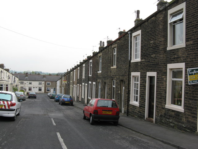
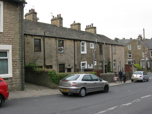
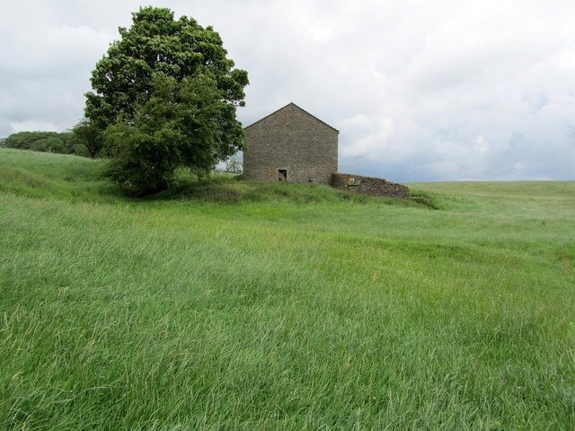
The village is known for its charming and traditional architecture, with many of the buildings dating back to the 18th and 19th centuries. The local community takes pride in preserving the village's historic character, evident in the well-maintained stone houses and cottages that line the quiet streets.

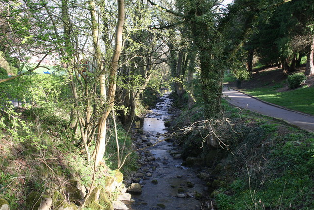
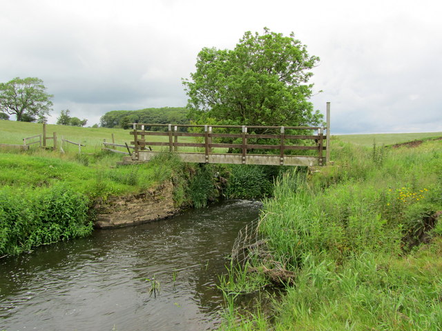
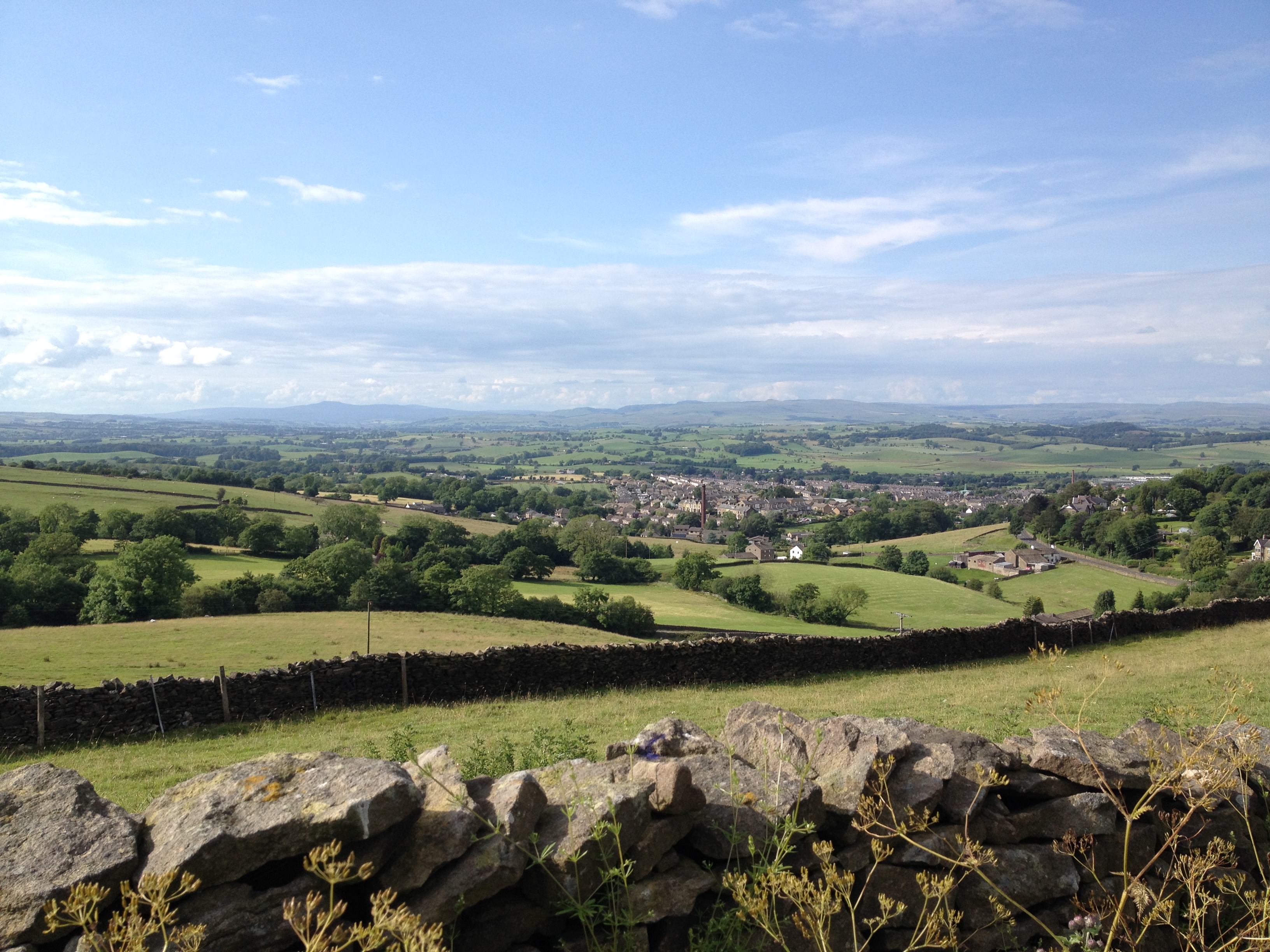
Surrounded by rolling hills and idyllic countryside, Stock provides ample opportunities for outdoor activities and exploration. The nearby Nidderdale Way, a long-distance footpath, offers hikers and nature enthusiasts the chance to discover the stunning landscapes of the area. Additionally, the River Nidd runs through the village, providing a picturesque spot for fishing and riverside walks.

Stock is a close-knit community, with a village hall serving as a hub for social gatherings and events. The village also has a local pub, providing a friendly and welcoming atmosphere for residents and visitors alike.

Despite its small size, Stock benefits from its proximity to larger towns and amenities. The nearby town of Pateley Bridge offers a range of shops, cafes, and services, ensuring that residents have access to everyday necessities.

Overall, Stock is a charming and tranquil village, offering residents and visitors a peaceful retreat in the heart of the beautiful Yorkshire countryside.

If you have any feedback on the listing, please let us know in the comments section below.
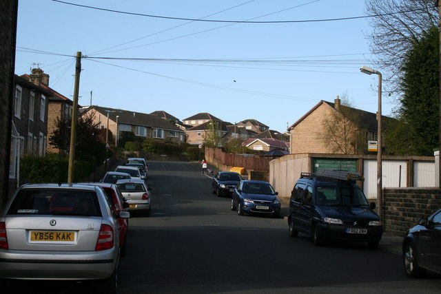
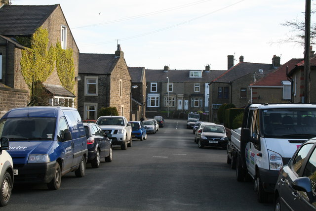
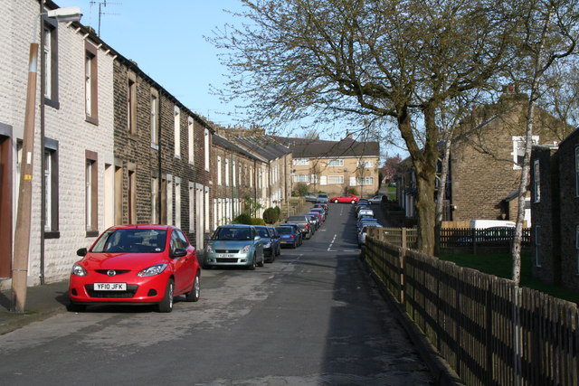
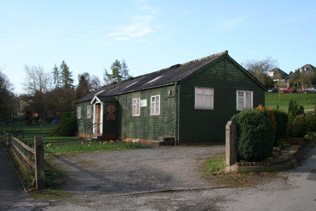
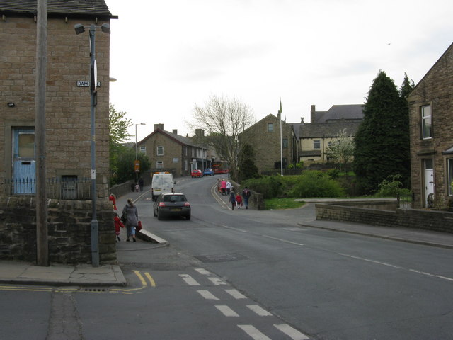
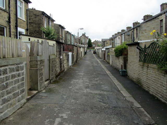
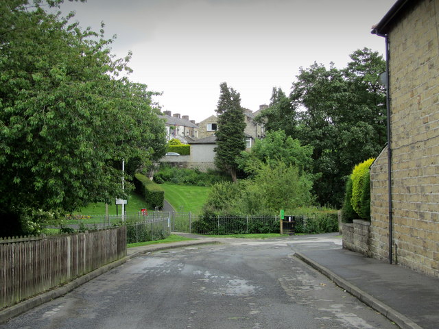
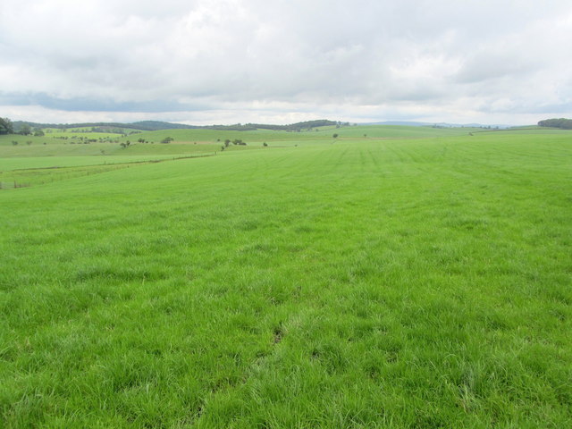
Stock Images

Images are sourced within 2km of 53.927937/-2.2146913 or Grid Reference SD8648. Thanks to Geograph Open Source API. All images are credited.

Horton bridge The benchmark is cut into the eastern parapet of the bridge.
Horton bridge
The benchmark is cut into the eastern parapet of the bridge.
Horton bridge There is a benchmark cut into the eastern parapet of the bridge. It is located to the right of the small concrete support seen in the centre of the picture.
Horton bridge
There is a benchmark cut into the eastern parapet of the bridge. It is located to the right of the small concrete support seen in the centre of the picture.
Gutteridge Farm
Gutteridge Farm
Barnoldswick:  Harper Street Looking southwest from its junction with Federation Street.
Barnoldswick: Harper Street
Looking southwest from its junction with Federation Street.
Barnoldswick: Harper Street Looking northeast from its junction with Federation Street
Barnoldswick: Harper Street
Looking northeast from its junction with Federation Street
Barnoldswick:  Federation  Street Looking northwest from its junction with Harper Street
Barnoldswick: Federation Street
Looking northwest from its junction with Harper Street
Barnoldswick:  Gospel Hall Recently this establishment appears to have discontinued all activity.
Barnoldswick: Gospel Hall
Recently this establishment appears to have discontinued all activity.
Barnoldswick:  Butts Beck From the footbridge where the beck flows into Valley Gardens.  Not much flow at present after a period of dry weather.
Barnoldswick: Butts Beck
From the footbridge where the beck flows into Valley Gardens. Not much flow at present after a period of dry weather.
Barnoldswick:  Brogden Street Looking northeast from its junction with Bolland Street
Barnoldswick: Brogden Street
Looking northeast from its junction with Bolland Street
Barnoldswick:  St. Joseph's Parish Centre In use as a polling station for the Local Elections.
Barnoldswick: St. Joseph's Parish Centre
In use as a polling station for the Local Elections.
Barnoldswick:  St. Joseph's R. C. Church Rear view
Barnoldswick: St. Joseph's R. C. Church
Rear view
Barnoldswick:  Damside These few houses are not numbered in Gisburn Street, but in their own separate sequence of Damside.
Barnoldswick: Damside
These few houses are not numbered in Gisburn Street, but in their own separate sequence of Damside.
Barnoldswick:  Gisburn Road Looking southeast from the end of Gisburn Street
Barnoldswick: Gisburn Road
Looking southeast from the end of Gisburn Street
Back Alley behind Denton Street, Barnoldswick Looking from Harper Street up this back alley behind Denton Street in Barnoldswick, Lancashire.
Back Alley behind Denton Street, Barnoldswick
Looking from Harper Street up this back alley behind Denton Street in Barnoldswick, Lancashire.
Federation Street, Barnoldswick A corner of Barnoldswick, Lancashire
Federation Street, Barnoldswick
A corner of Barnoldswick, Lancashire
Countryside North of Barnoldswick An area of green pastures and drumlins makes up much of the countryside to the north of Barnoldswick
Countryside North of Barnoldswick
An area of green pastures and drumlins makes up much of the countryside to the north of Barnoldswick
Footbridge over Stock Beck A footpath is carried over Stock Beck, to the north of Barnoldswick.
Footbridge over Stock Beck
A footpath is carried over Stock Beck, to the north of Barnoldswick.
Low Laithe Lonely dilapidated stone barn above Stock Beck, near Barnoldswick
Low Laithe
Lonely dilapidated stone barn above Stock Beck, near Barnoldswick
Show me another place!

Stock is located at Grid Ref: SD8648 (Lat: 53.927937, Lng: -2.2146913)

Division: West Riding

Administrative County: Lancashire

District: Pendle

Police Authority: Lancashire

What 3 Words

///tutorial.liquid.replays. Near Barnoldswick, Lancashire

Related Wikis

Bracewell and Brogden

Bracewell and Brogden is a civil parish in the West Craven area of the Borough of Pendle in Lancashire, England. According to the 2001 census it had a...

St Michael's Church, Bracewell

St Michael's Church is in Bracewell Lane, Bracewell, Lancashire, England. It is an active Anglican parish church in the deanery of Skipton, the archdeaconry...

A59 road

The A59 is a major road in England which is around 109 miles (175 km) long and runs from Wallasey, Merseyside to York, North Yorkshire. The alignment formed...

Barnoldswick Town F.C.

Barnoldswick Town Football Club is a football club based in Barnoldswick, Lancashire, England. They are currently members of the North West Counties League...

West Craven

West Craven is an area in the east of Lancashire, England in the far northern part of the borough of Pendle. Historically the area was within the ancient...

Barnoldswick railway station

Barnoldswick railway station was the only railway station on the Midland Railway's 1-mile-64-chain (2.9 km) long Barnoldswick Branch in the West Riding...

Barnoldswick

Barnoldswick (pronounced ) is a market town and civil parish in the Borough of Pendle, in the administrative county of Lancashire, England. It is within...

Horton, Lancashire

Horton, historically known as Horton-in-Craven, is a village and a civil parish in the Ribble Valley district of the English county of Lancashire (historically...

Nearby Amenities

Located within 500m of 53.927937,-2.2146913
Bracewell Hall
Historic: house
Is In Country Code: GB
Is In County: Lancashire
Is In Municipality: Pendle
Source: OS 1:25k
Lat/Long: 53.9314758/-2.2104833
High Tree Field Hill
Natural: peak
Source: OS 1:25k
Lat/Long: 53.9269614/-2.2177577
The data included in this document is from www.openstreetmap.org. The data is made available under ODbL.

Have you been to Stock?

Leave your review of Stock below (or comments, questions and feedback).