Stobswood
Settlement in Northumberland
England
Stobswood

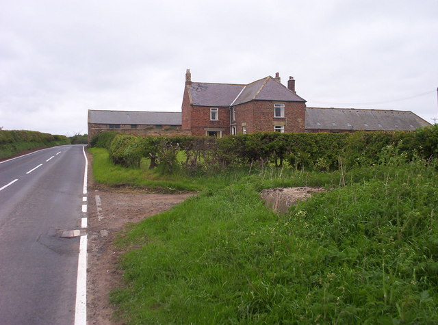
Stobswood is a small village situated in the county of Northumberland, in the northeast of England. It is located approximately 15 miles northwest of the historic market town of Morpeth and around 10 miles southeast of the town of Ashington.
With a population of around 1,500 residents, Stobswood is a relatively quiet and close-knit community. The village is surrounded by picturesque countryside, characterized by rolling hills and scenic landscapes. It offers a peaceful and tranquil environment, making it an ideal location for those seeking a rural lifestyle.
Stobswood has a rich history, with evidence of human habitation dating back to the medieval period. The village was primarily an agricultural community, with farming playing a significant role in its economy. Today, however, Stobswood is known for its coal mining heritage, which was one of the main industries in the area during the 19th and 20th centuries.
Although the coal mines have long since closed, remnants of this industrial past can still be seen throughout the village. Stobswood is home to a museum dedicated to preserving the local mining history, providing visitors with an insight into the area's past.
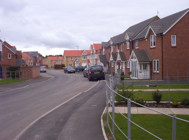
Modern-day Stobswood offers a range of amenities for residents and visitors. These include a village hall, a primary school, a local convenience store, and a pub. The village also benefits from its proximity to the Northumberland National Park, which offers opportunities for outdoor activities such as hiking, cycling, and wildlife spotting.
If you have any feedback on the listing, please let us know in the comments section below.
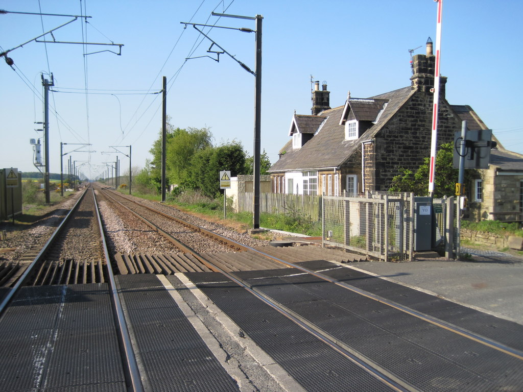
Stobswood Images
Images are sourced within 2km of 55.245327/-1.627038 or Grid Reference NZ2394. Thanks to Geograph Open Source API. All images are credited.


Stobswood is located at Grid Ref: NZ2394 (Lat: 55.245327, Lng: -1.627038)
Unitary Authority: Northumberland
Police Authority: Northumbria
What 3 Words
///donor.crawler.afterglow. Near East Chevington, Northumberland
Nearby Locations
Related Wikis
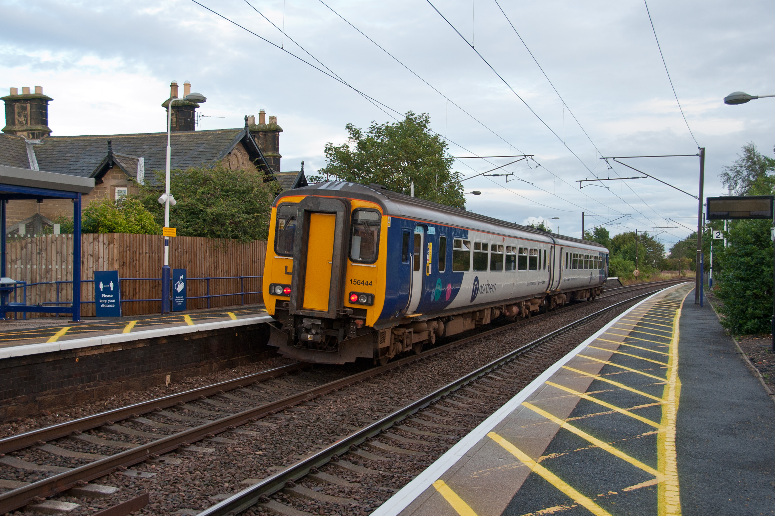
Widdrington railway station
Widdrington is a railway station on the East Coast Main Line, which runs between London King's Cross and Edinburgh Waverley. The station, situated 23 miles...

Widdrington Station and Stobswood
Widdrington Station and Stobswood is a civil parish in the county of Northumberland, England. It has a population of 2,767 (as of 2011) and is 6 miles...
Widdrington Castle
Widdrington Castle is a Scheduled Ancient Monument and the site of a former medieval tower house and castle at Widdrington, Northumberland, England of...

Widdrington Village
Widdrington is a village and (as Widdrington Village) a civil parish in the county of Northumberland, England. It borders Tritlington and West Chevington...
Ulgham
Ulgham is a small village in Northumberland, England. The name Ulgham is pronounced 'Uffam': [ˈʊfəm] (locally), [ˈʌfəm] (RP). It is known as the 'village...
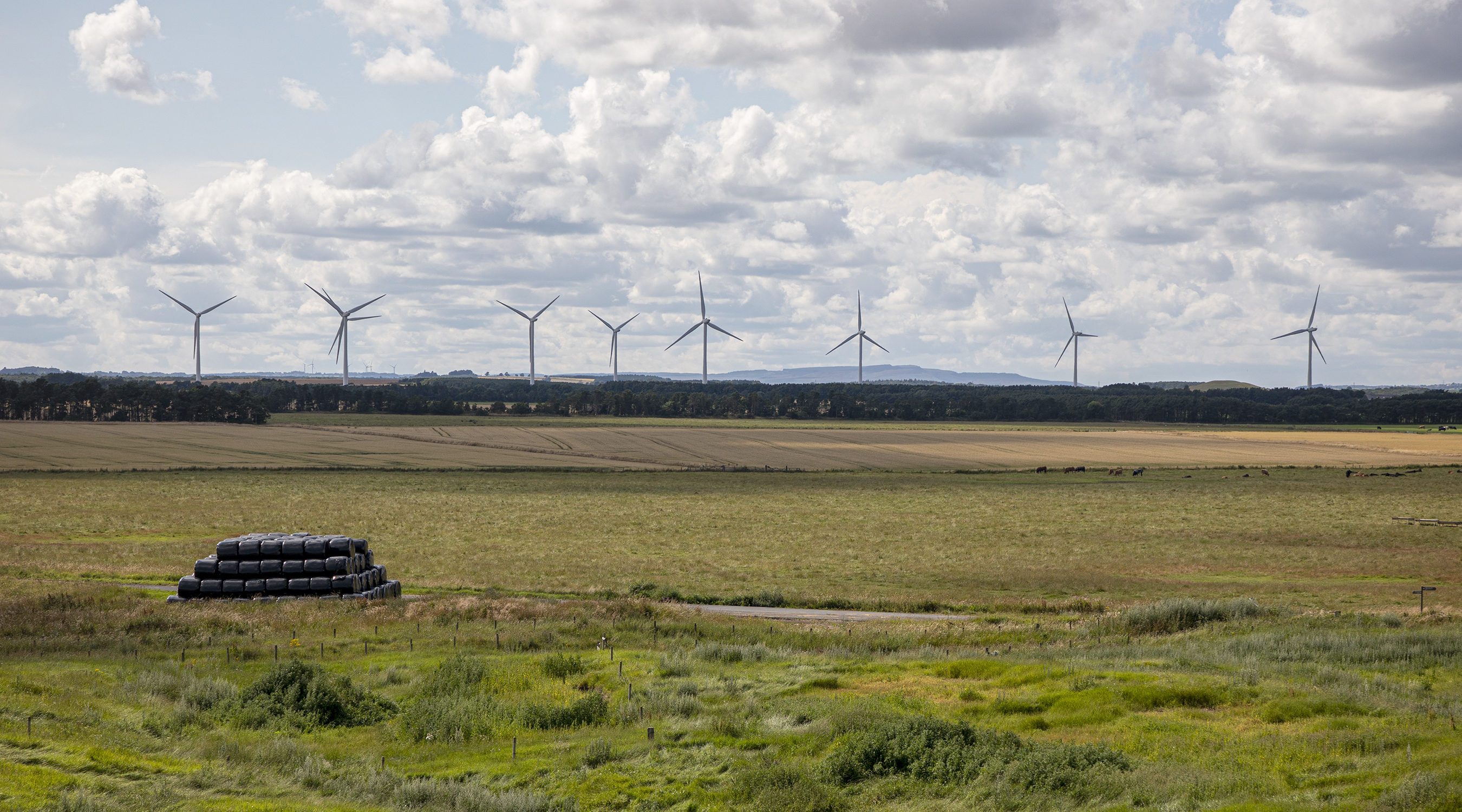
North Steads Wind Farm
North Steads Wind Farm is an onshore electricity generating site west of Widdrington in Northumberland, England. The site was developed on old coal opencast...

A1068 road
The A1068 is a road in northern England that runs from Seaton Burn in North Tyneside to Alnwick in Northumberland. The section between Ellington and Alnmouth...
Chevington railway station
Chevington railway station served the village of West Chevington, Northumberland, England from 1847 to 1964 on the East Coast Main Line. == History... ==
Nearby Amenities
Located within 500m of 55.245327,-1.627038Have you been to Stobswood?
Leave your review of Stobswood below (or comments, questions and feedback).