Hawber Plantation
Wood, Forest in Yorkshire Pendle
England
Hawber Plantation
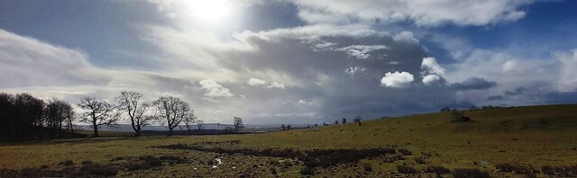
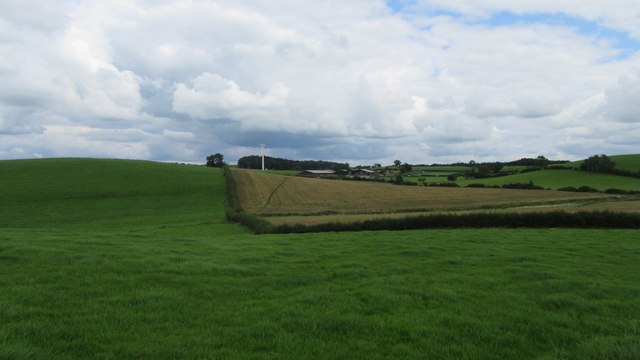
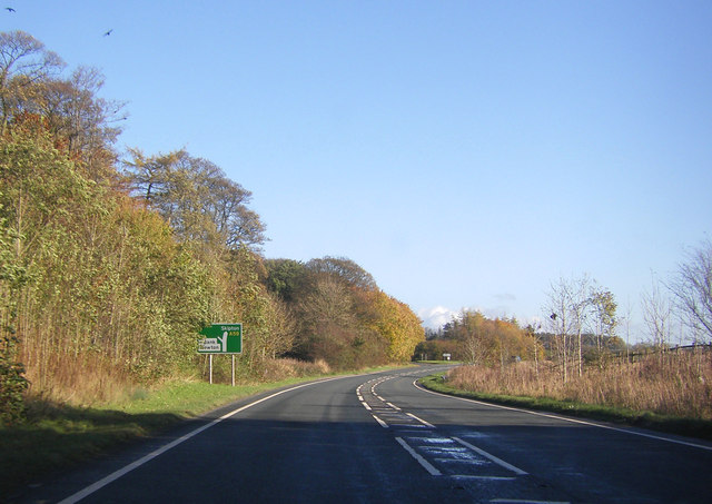
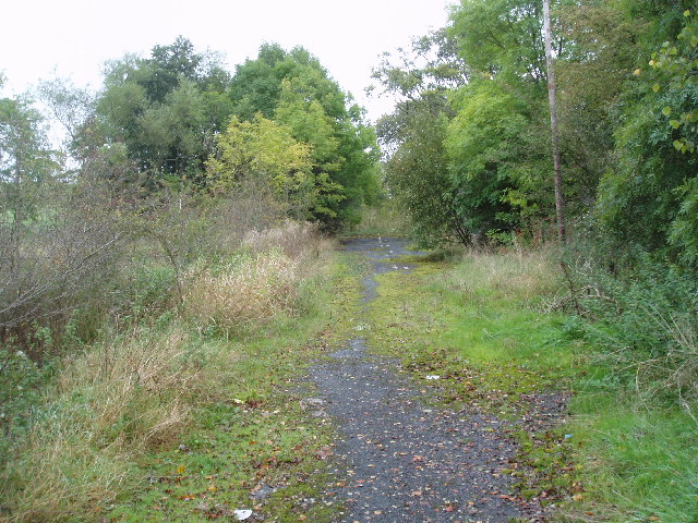
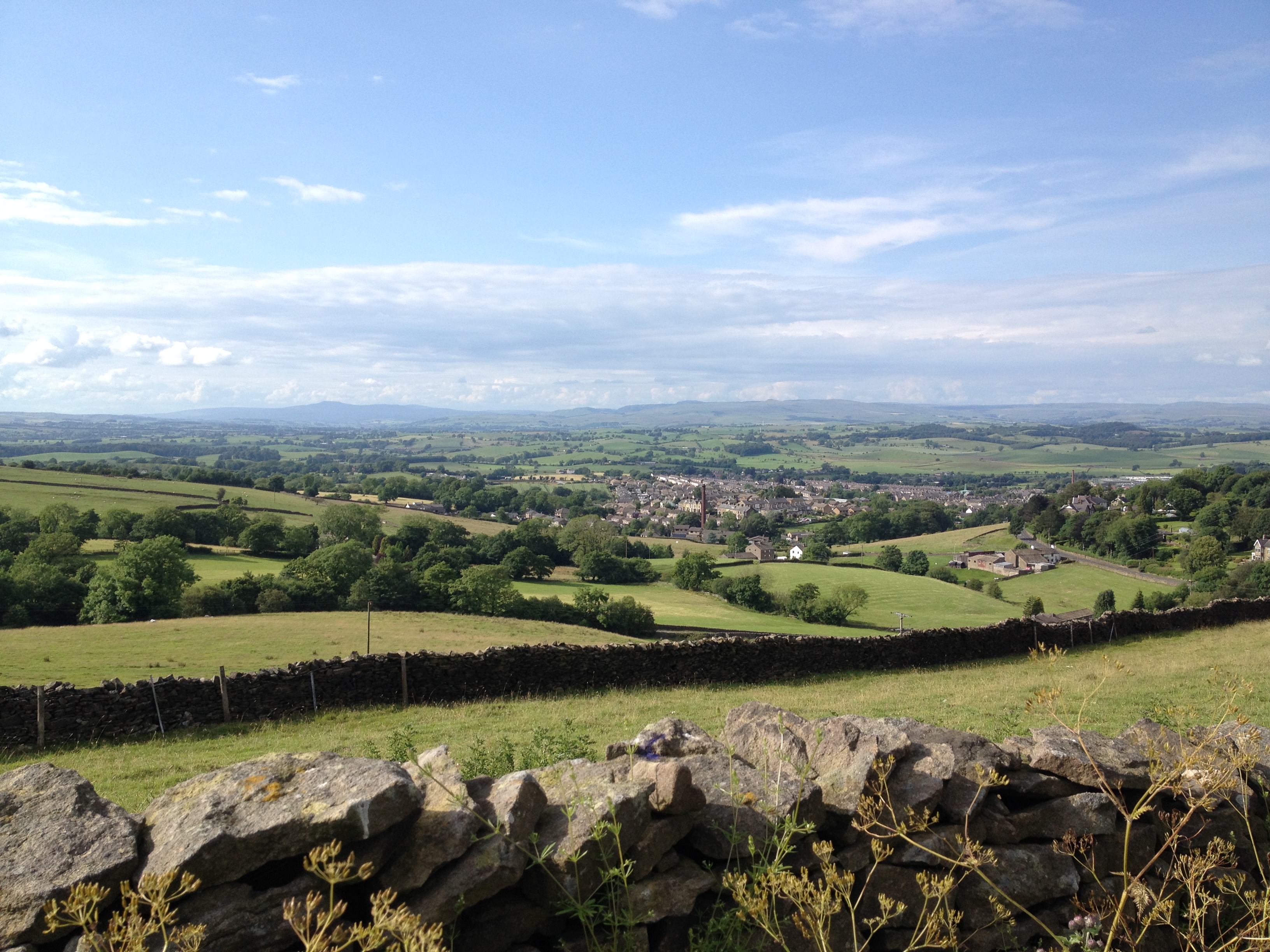
Hawber Plantation, located in Yorkshire, England, is a picturesque woodland area renowned for its natural beauty and rich biodiversity. Stretching over a sprawling area, the plantation is known for its dense forest cover and diverse range of tree species, making it a haven for nature enthusiasts and wildlife enthusiasts alike.
The woodland of Hawber Plantation is dominated by a mix of deciduous and coniferous trees, including oak, elm, beech, pine, and spruce, creating a diverse and vibrant ecosystem. The lush vegetation provides a habitat for a wide variety of flora and fauna, making it a popular destination for birdwatchers and botanists.
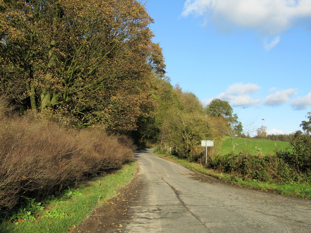
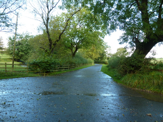
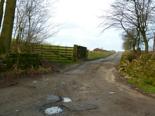
The plantation offers a network of well-maintained walking trails, allowing visitors to explore its natural wonders at their own pace. The trails wind through the forest, offering breathtaking views of the surrounding landscape and opportunities to spot native wildlife such as deer, foxes, badgers, and various bird species.
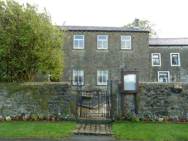
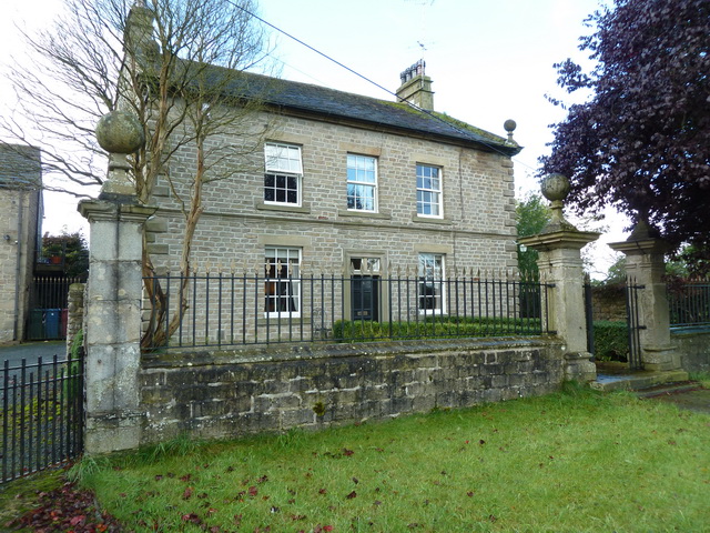
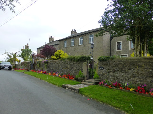
Hawber Plantation also has a rich history, with evidence of human activity dating back centuries. The remains of old stone structures and walls can be found throughout the woodland, providing a glimpse into the area's past. These historical features add an extra layer of intrigue and charm to the already enchanting landscape.
In summary, Hawber Plantation in Yorkshire is a captivating woodland retreat that offers a tranquil escape from the hustle and bustle of modern life. With its diverse range of trees, abundant wildlife, and rich history, it is a must-visit destination for nature lovers and history enthusiasts alike.
If you have any feedback on the listing, please let us know in the comments section below.
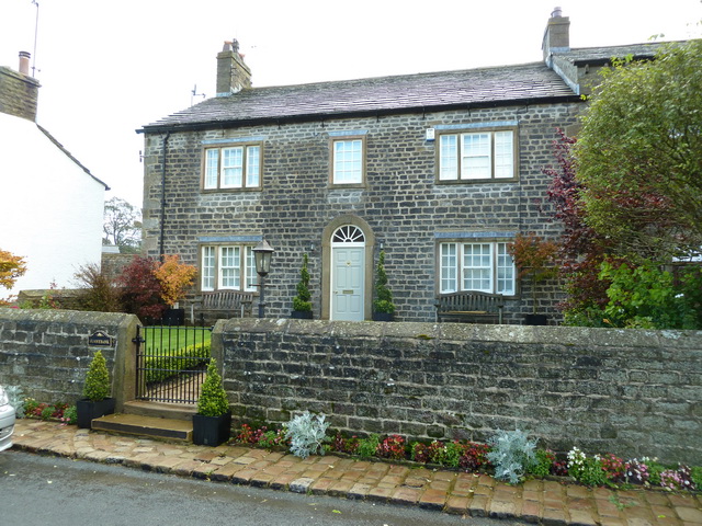
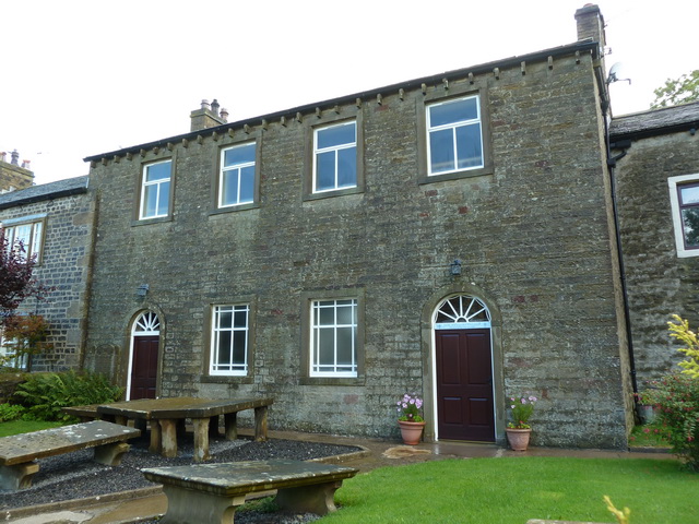
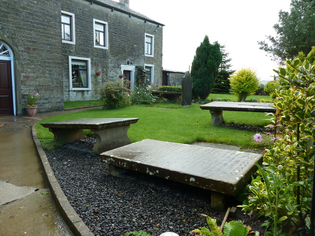
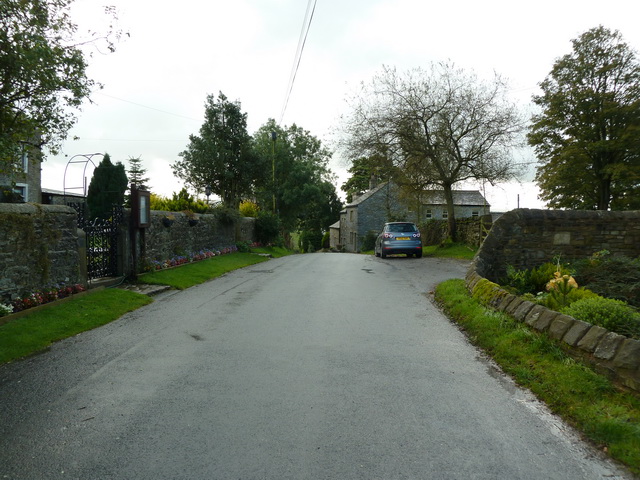
Hawber Plantation Images
Images are sourced within 2km of 53.935754/-2.20576 or Grid Reference SD8648. Thanks to Geograph Open Source API. All images are credited.


Hawber Plantation is located at Grid Ref: SD8648 (Lat: 53.935754, Lng: -2.20576)
Division: West Riding
Administrative County: Lancashire
District: Pendle
Police Authority: Lancashire
What 3 Words
///float.northward.volunteered. Near Barnoldswick, Lancashire
Related Wikis

St Michael's Church, Bracewell
St Michael's Church is in Bracewell Lane, Bracewell, Lancashire, England. It is an active Anglican parish church in the deanery of Skipton, the archdeaconry...

Bracewell and Brogden
Bracewell and Brogden is a civil parish in the West Craven area of the Borough of Pendle in Lancashire, England. According to the 2001 census it had a...

A59 road
The A59 is a major road in England which is around 109 miles (175 km) long and runs from Wallasey, Merseyside to York, North Yorkshire. The alignment formed...

Barnoldswick Town F.C.
Barnoldswick Town Football Club is a football club based in Barnoldswick, Lancashire, England. They are currently members of the North West Counties League...

Horton, Lancashire
Horton, historically known as Horton-in-Craven, is a village and a civil parish in the Ribble Valley district of the English county of Lancashire (historically...
West Craven
West Craven is an area in the east of Lancashire, England in the far northern part of the borough of Pendle. Historically the area was within the ancient...

Barnoldswick railway station
Barnoldswick railway station was the only railway station on the Midland Railway's 1-mile-64-chain (2.9 km) long Barnoldswick Branch in the West Riding...
Barnoldswick
Barnoldswick (pronounced ) is a market town and civil parish in the Borough of Pendle, in the administrative county of Lancashire, England. It is within...
Nearby Amenities
Located within 500m of 53.935754,-2.20576Have you been to Hawber Plantation?
Leave your review of Hawber Plantation below (or comments, questions and feedback).