Bracewell Plantation

Wood, Forest in Yorkshire Pendle

England

Bracewell Plantation

A very pretty postbox Standing by the crossroads in the centre of Barnoldswick.
A very pretty postbox Credit: Oliver Dixon

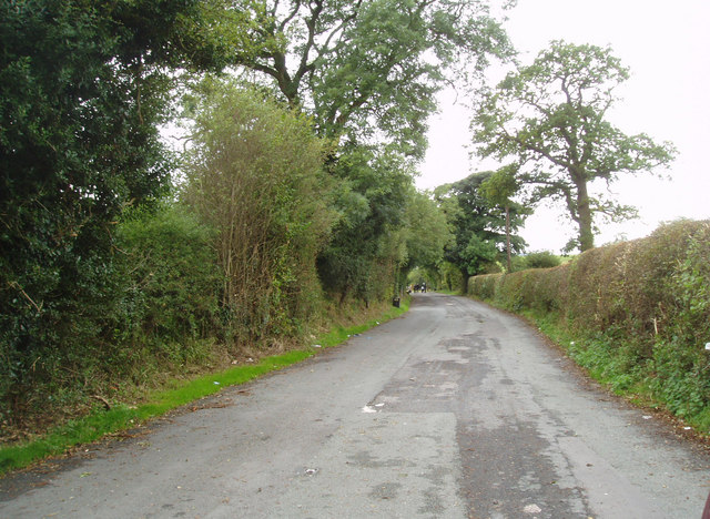
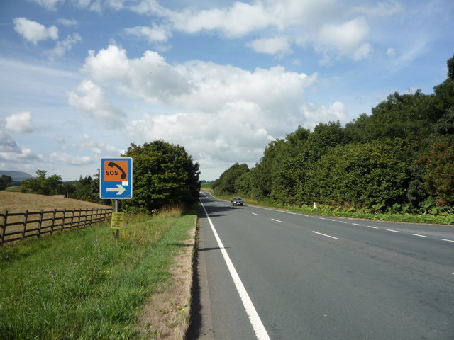
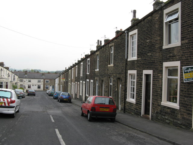
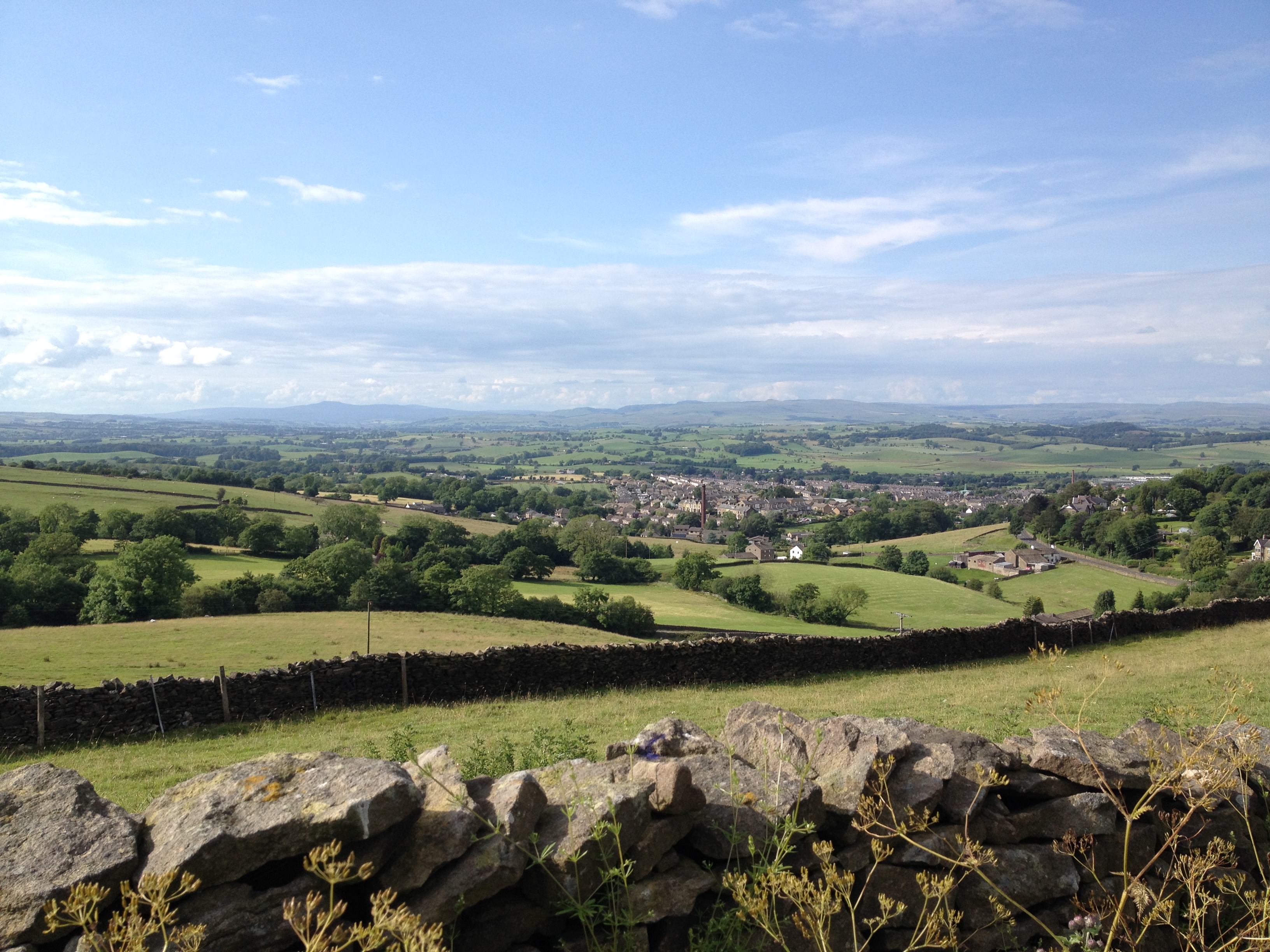
Bracewell Plantation is a picturesque woodland situated in the heart of Yorkshire, England. Spanning over several acres, this enchanting forest is renowned for its rich history and diverse array of flora and fauna. Nestled between the rolling hills and meandering streams, Bracewell Plantation offers a tranquil escape from the hustle and bustle of city life.

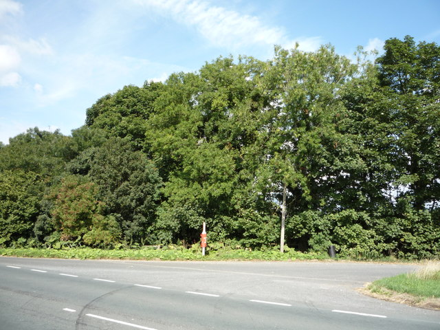
The woodlands in Bracewell Plantation are primarily composed of oak, beech, and ash trees, creating a dense canopy that provides shade and shelter for a wide variety of wildlife. Visitors can expect to encounter an array of bird species, including woodpeckers, owls, and thrushes, as well as small mammals like squirrels and rabbits.

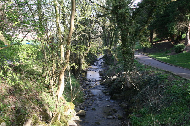
The plantation also boasts a network of well-maintained walking trails, allowing visitors to immerse themselves in the natural beauty of the woodland. These paths offer glimpses of vibrant wildflowers, such as bluebells and primroses, which bloom throughout the spring and summer months. In addition, the plantation contains a small pond, serving as a habitat for various aquatic creatures and adding to the overall charm of the landscape.

With its stunning vistas and peaceful ambiance, Bracewell Plantation attracts nature enthusiasts, hikers, and photographers alike. The plantation is open to the public year-round, offering visitors the opportunity to witness the ever-changing beauty of the Yorkshire countryside. Whether one seeks a quiet retreat or an adventurous exploration, Bracewell Plantation is a must-visit destination for those seeking solace in nature.

If you have any feedback on the listing, please let us know in the comments section below.

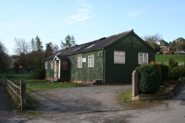
Bracewell Plantation Images

Images are sourced within 2km of 53.930134/-2.2073771 or Grid Reference SD8648. Thanks to Geograph Open Source API. All images are credited.

A very pretty postbox Standing by the crossroads in the centre of Barnoldswick.
A very pretty postbox
Standing by the crossroads in the centre of Barnoldswick.
Crossroads in the centre of Barnoldswick.
Horton bridge The benchmark is cut into the eastern parapet of the bridge.
Horton bridge
The benchmark is cut into the eastern parapet of the bridge.
Horton bridge There is a benchmark cut into the eastern parapet of the bridge. It is located to the right of the small concrete support seen in the centre of the picture.
Horton bridge
There is a benchmark cut into the eastern parapet of the bridge. It is located to the right of the small concrete support seen in the centre of the picture.
Gutteridge Farm
Gutteridge Farm
A59 What appears to be a quiet country road, once was the main road between Liverpool and York, when in the 1980s the new road was built 20m to the right. It is now used as a lorry stop, at the eastern end of the old road Dick Turpin's roadside cafe will sell you an excellent cup of tea and a bacon butty
A59
What appears to be a quiet country road, once was the main road between Liverpool and York, when in the 1980s the new road was built 20m to the right. It is now used as a lorry stop, at the eastern end of the old road Dick Turpin's roadside cafe will sell you an excellent cup of tea and a bacon butty
Disused loop of the old A59. See also <a href="https://www.geograph.org.uk/photo/60230">SD8750 : A road no longer....</a>
Disused loop of the old A59.
Trees beside the A59 At the entrance to a lay-by.
Trees beside the A59
At the entrance to a lay-by.
A59 towards Clitheroe Looking south west.
Entrance to a lay-by on the right.
A59 towards Clitheroe
Looking south west. Entrance to a lay-by on the right.
Barnoldswick:  Harper Street Looking southwest from its junction with Federation Street.
Barnoldswick: Harper Street
Looking southwest from its junction with Federation Street.
Barnoldswick: Harper Street Looking northeast from its junction with Federation Street
Barnoldswick: Harper Street
Looking northeast from its junction with Federation Street
Barnoldswick:  Federation  Street Looking northwest from its junction with Harper Street
Barnoldswick: Federation Street
Looking northwest from its junction with Harper Street
Barnoldswick:  Gospel Hall Recently this establishment appears to have discontinued all activity.
Barnoldswick: Gospel Hall
Recently this establishment appears to have discontinued all activity.
Barnoldswick:  Butts Beck From the footbridge where the beck flows into Valley Gardens.  Not much flow at present after a period of dry weather.
Barnoldswick: Butts Beck
From the footbridge where the beck flows into Valley Gardens. Not much flow at present after a period of dry weather.
Barnoldswick:  9, Butts This house, which is currently To Let, carries a small plaque claiming to be the smallest house in Barnoldswick.
Barnoldswick: 9, Butts
This house, which is currently To Let, carries a small plaque claiming to be the smallest house in Barnoldswick.
Barnoldswick:  John Street Looking north.  This is a short cul-de-sac off the bottom of Westgate. There are only five houses, numbered 1 - 9 (odds).
Barnoldswick: John Street
Looking north. This is a short cul-de-sac off the bottom of Westgate. There are only five houses, numbered 1 - 9 (odds).
Barnoldswick:  Brogden Street Looking northeast from its junction with Bolland Street
Barnoldswick: Brogden Street
Looking northeast from its junction with Bolland Street
Barnoldswick:  St. Joseph's Parish Centre In use as a polling station for the Local Elections.
Barnoldswick: St. Joseph's Parish Centre
In use as a polling station for the Local Elections.
Show me another place!

Bracewell Plantation is located at Grid Ref: SD8648 (Lat: 53.930134, Lng: -2.2073771)

Division: West Riding

Administrative County: Lancashire

District: Pendle

Police Authority: Lancashire

What 3 Words

///tickling.passwords.monks. Near Barnoldswick, Lancashire

Related Wikis

St Michael's Church, Bracewell

St Michael's Church is in Bracewell Lane, Bracewell, Lancashire, England. It is an active Anglican parish church in the deanery of Skipton, the archdeaconry...

Bracewell and Brogden

Bracewell and Brogden is a civil parish in the West Craven area of the Borough of Pendle in Lancashire, England. According to the 2001 census it had a...

Barnoldswick Town F.C.

Barnoldswick Town Football Club is a football club based in Barnoldswick, Lancashire, England. They are currently members of the North West Counties League...

West Craven

West Craven is an area in the east of Lancashire, England in the far northern part of the borough of Pendle. Historically the area was within the ancient...

A59 road

The A59 is a major road in England which is around 109 miles (175 km) long and runs from Wallasey, Merseyside to York, North Yorkshire. The alignment formed...

Barnoldswick railway station

Barnoldswick railway station was the only railway station on the Midland Railway's 1-mile-64-chain (2.9 km) long Barnoldswick Branch in the West Riding...

Barnoldswick

Barnoldswick (pronounced ) is a market town and civil parish in the Borough of Pendle, in the administrative county of Lancashire, England. It is within...

Horton, Lancashire

Horton, historically known as Horton-in-Craven, is a village and a civil parish in the Ribble Valley district of the English county of Lancashire (historically...

Nearby Amenities

Located within 500m of 53.930134,-2.2073771
Bracewell
Is In Country Code: GB
Is In County: Lancashire
Is In Municipality: Pendle
Place: village
Source: npe
Lat/Long: 53.9320999/-2.210793
Bracewell Hall
Historic: house
Is In Country Code: GB
Is In County: Lancashire
Is In Municipality: Pendle
Source: OS 1:25k
Lat/Long: 53.9314758/-2.2104833
The data included in this document is from www.openstreetmap.org. The data is made available under ODbL.

Have you been to Bracewell Plantation?

Leave your review of Bracewell Plantation below (or comments, questions and feedback).