Orange Grove Covert
Wood, Forest in Gloucestershire Stroud
England
Orange Grove Covert
Orange Grove Covert is a picturesque woodland located in Gloucestershire, a county in southwest England. Situated in the heart of the enchanting Forest of Dean, the covert covers an area of approximately 50 acres. It is renowned for its abundant orange groves, which give the woodland its unique name.
The woodland is predominantly composed of a rich variety of deciduous and coniferous trees, including oak, beech, pine, and spruce. The dense canopy formed by these majestic trees creates a serene and tranquil atmosphere, making it a popular destination for nature enthusiasts and hikers.
Orange Grove Covert is a haven for wildlife, providing a habitat for numerous species. It is home to a diverse range of birds, such as woodpeckers, owls, and songbirds, which fill the air with their melodic tunes. Squirrels, foxes, and deer are also frequently spotted within the covert, adding to its natural allure.
The woodland offers several walking trails that meander through its enchanting landscape, allowing visitors to explore the beauty of the ancient forest. These paths are well-maintained and suitable for all ages and fitness levels, making it an ideal destination for families and nature lovers of all kinds.
Orange Grove Covert is a place of serenity and natural beauty, where visitors can immerse themselves in the tranquility of the forest and enjoy the sights and sounds of its abundant wildlife. It is a cherished part of Gloucestershire's natural heritage and a must-visit destination for those seeking a peaceful retreat amidst nature's splendor.
If you have any feedback on the listing, please let us know in the comments section below.
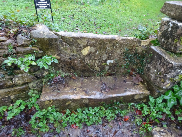
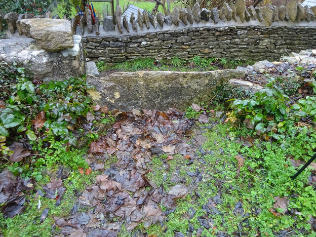
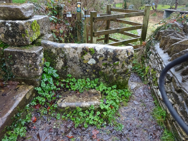
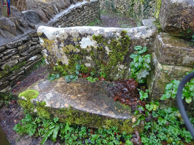
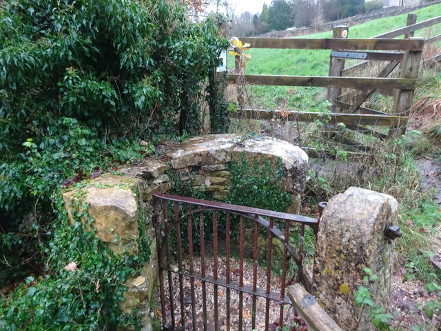
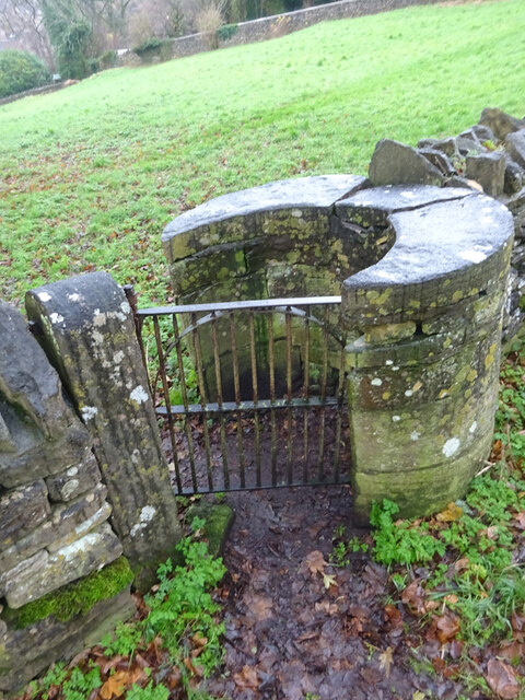
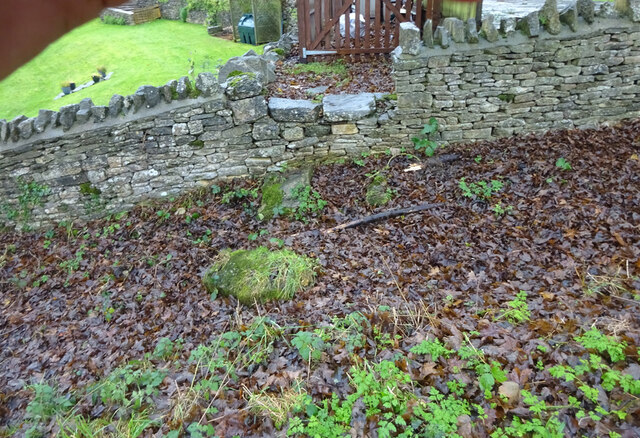
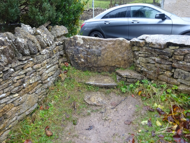
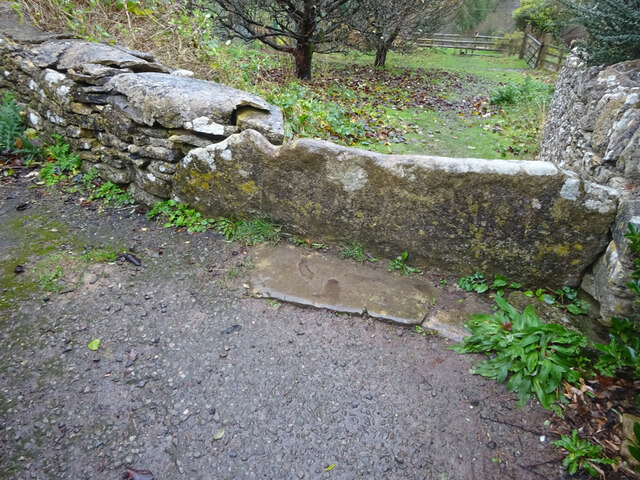
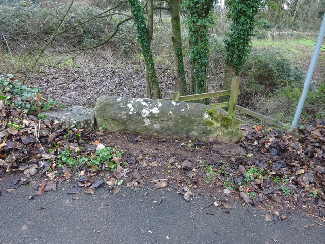
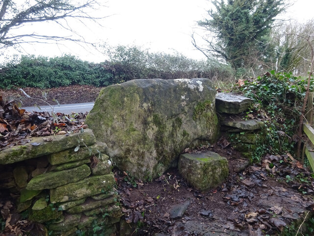
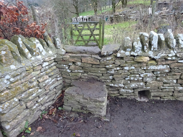
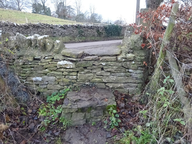
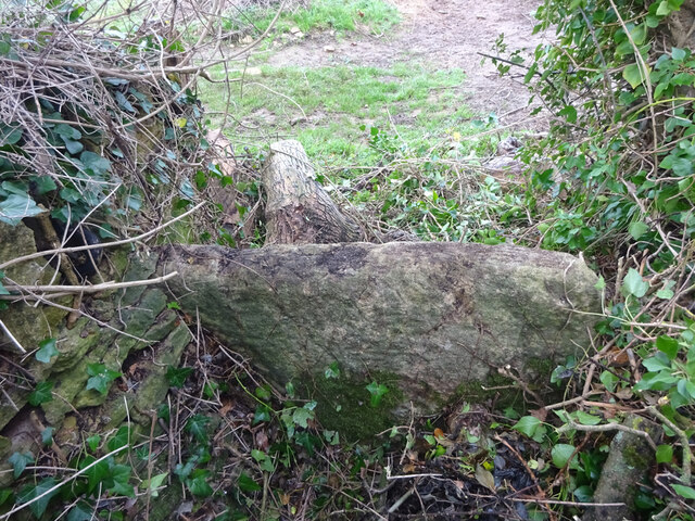
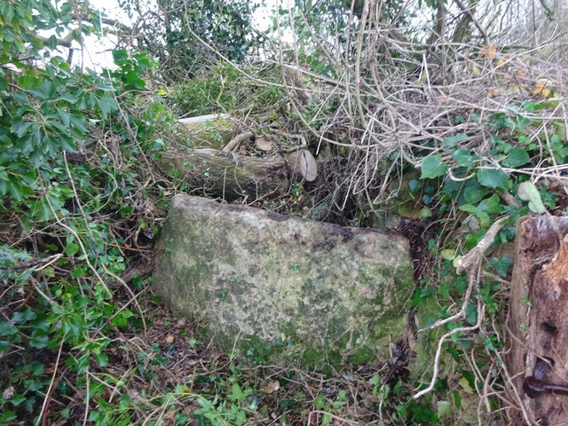
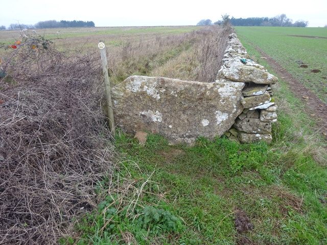
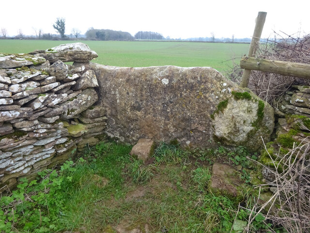
Orange Grove Covert Images
Images are sourced within 2km of 51.66908/-2.196966 or Grid Reference ST8696. Thanks to Geograph Open Source API. All images are credited.

Orange Grove Covert is located at Grid Ref: ST8696 (Lat: 51.66908, Lng: -2.196966)
Administrative County: Gloucestershire
District: Stroud
Police Authority: Gloucestershire
What 3 Words
///strike.sneezing.lies. Near Avening, Gloucestershire
Nearby Locations
Related Wikis
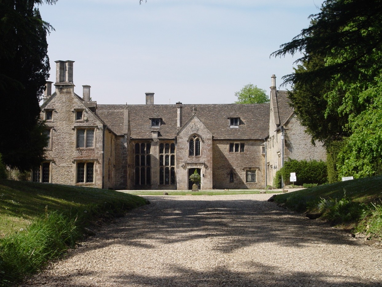
Chavenage House
Chavenage House, Beverston, Gloucestershire is a country house dating from the late 16th century. The house was built in 1576 and is constructed of Cotswold...

Church of the Holy Cross, Avening
The Anglican Church of the Holy Cross at Avening in the Cotswold District of Gloucestershire, England was built in late 11th century. It is a grade I listed...

Avening Valley
The Avening Valley is located in the South Cotswolds in England, running roughly east from Nailsworth and through the village of Avening.During the 17th...

Barton End
Barton End is a village just south of Nailsworth, Gloucestershire, England.

Tetbury Upton
Tetbury Upton is a small village and civil parish in the Cotswolds area of Gloucestershire, England. The parish extends in an arc around the north, west...
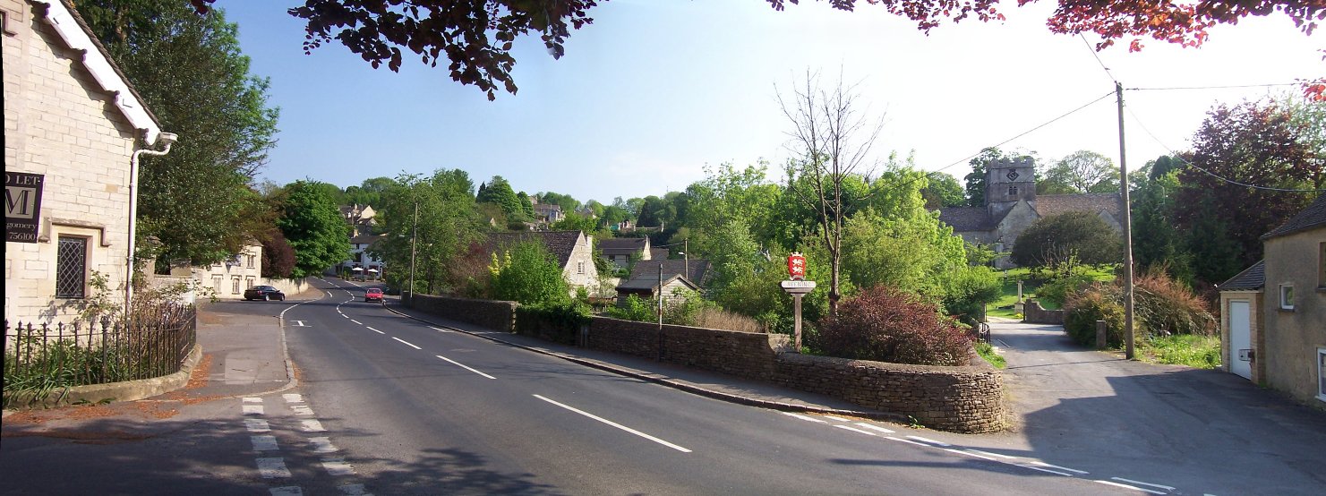
Avening
Avening () is a village and civil parish in the Cotswold district of Gloucestershire, England, about three miles (5 km) north of Tetbury. According to...

St Mary's Church, Beverston
The Church of Saint Mary the Virgin is the parish church of Beverston, Gloucestershire, England, and a Grade II* listed building. The church is of Norman...

Beverston Castle
Beverston Castle, also known as Beverstone Castle or Tetbury Castle, was constructed as a medieval stone fortress in the village of Beverston, Gloucestershire...
Nearby Amenities
Located within 500m of 51.66908,-2.196966Have you been to Orange Grove Covert?
Leave your review of Orange Grove Covert below (or comments, questions and feedback).