Carter's Bottom

Valley in Gloucestershire Stroud

England

Carter's Bottom

Avening, churchyard wall Access to the footpath leading away from the village. This is the view looking in to the churchyard. The view looking in is <a href="https://www.geograph.org.uk/photo/7038277">ST8798 : Avening, churchyard wall</a>. It is adjacent to a stile along the footpath (see <a title="https://www.geograph.org.uk/photo/7038287" href="https://www.geograph.org.uk/photo/7038287">Link</a> & <a title="https://www.geograph.org.uk/photo/7038288" href="https://www.geograph.org.uk/photo/7038288">Link</a> )
Avening, churchyard wall Credit: Mr Red

Carter's Bottom is a picturesque valley located in the county of Gloucestershire, England. Nestled amidst the rolling hills of the Cotswolds, this idyllic valley is known for its stunning natural beauty and rich historical significance.

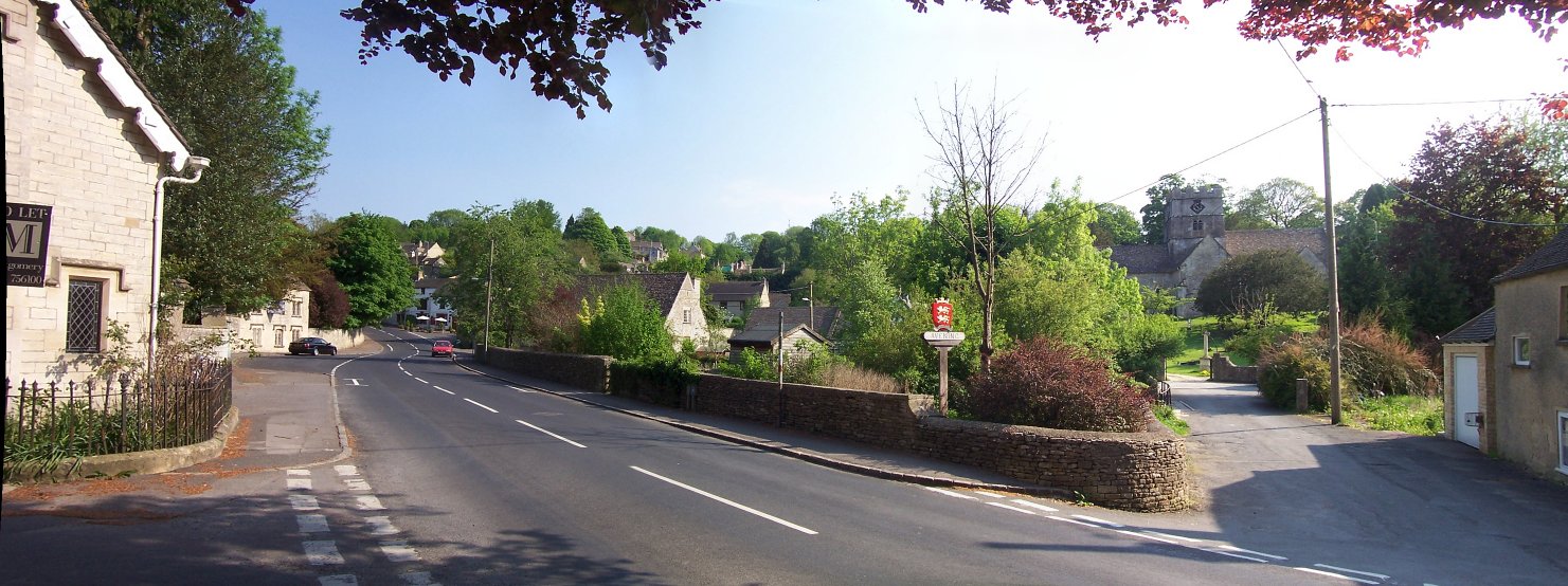
The valley is named after the Carter family, who were prominent landowners in the area during the 19th century. It is situated just south of the charming village of Painswick and is encompassed by lush green fields and dense woodlands. The valley is traversed by a small stream which meanders through its heart, adding to its scenic allure.

Carter's Bottom is renowned for its diverse flora and fauna, making it a haven for nature enthusiasts. The valley is home to a wide variety of plant species, including ancient oak trees, wildflowers, and ferns. These, in turn, attract an array of wildlife such as birds, butterflies, and small mammals.

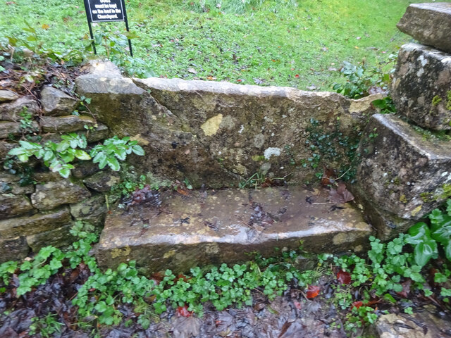
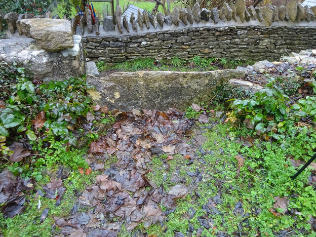
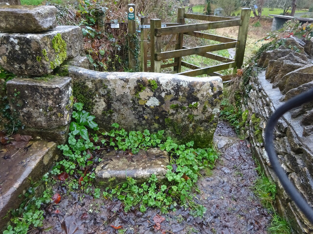
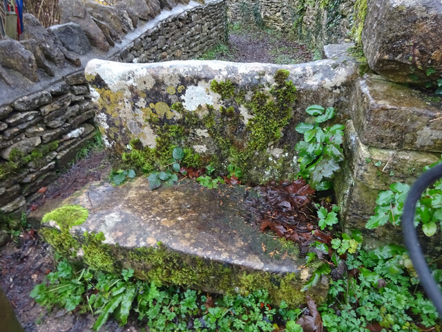
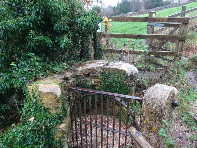
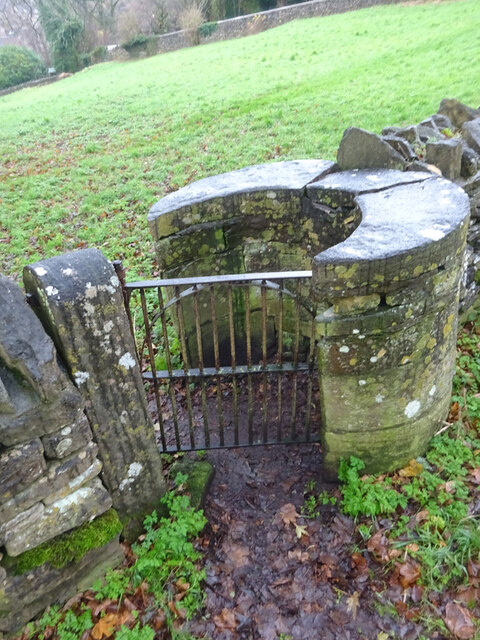
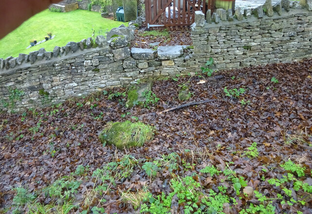
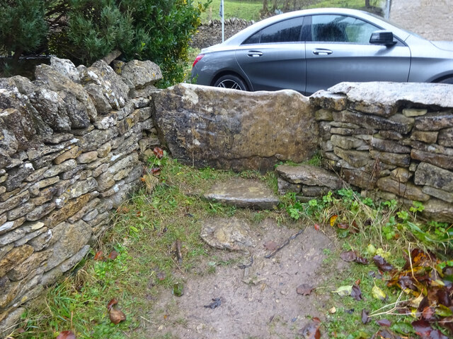
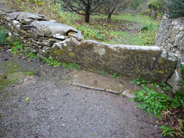
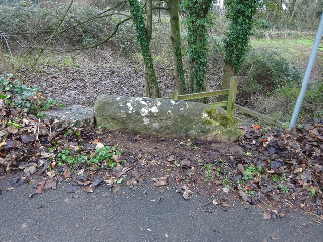
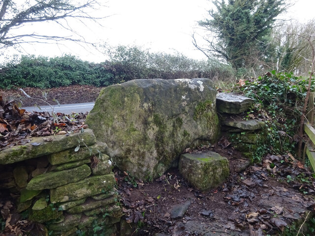
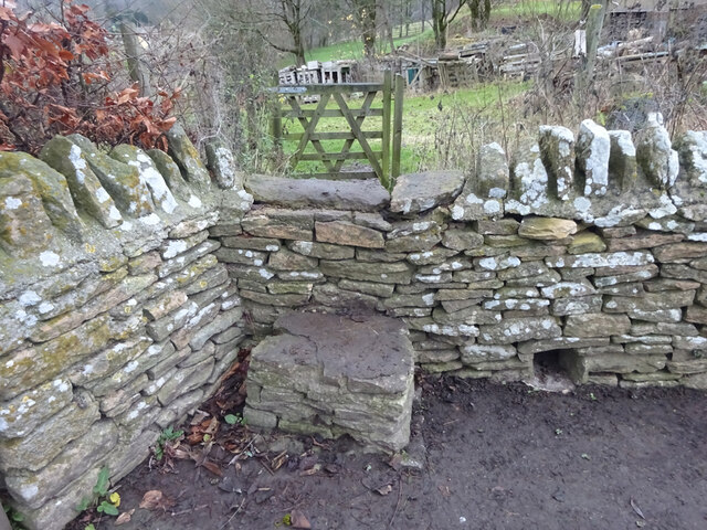
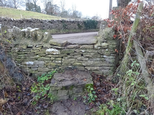
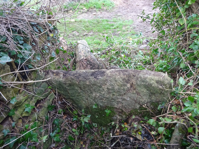
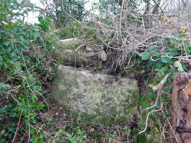
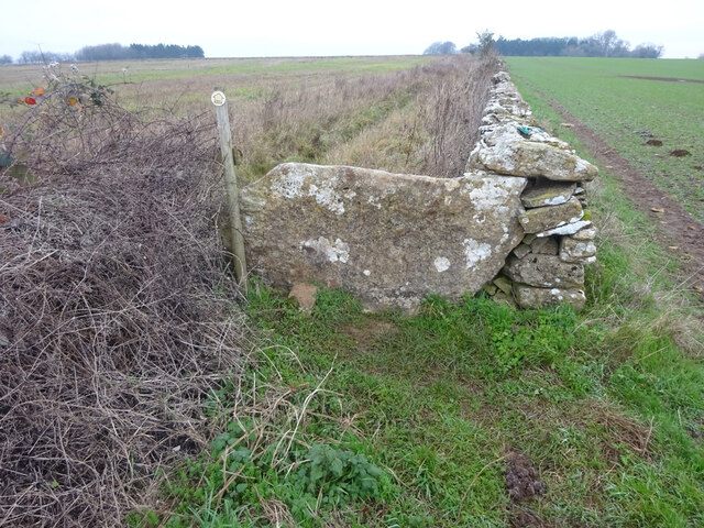
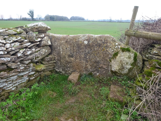
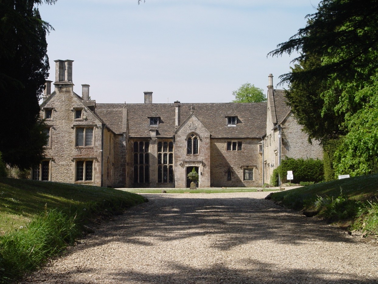
History buffs will delight in exploring Carter's Bottom, as it boasts several historical landmarks. The remains of a Roman villa can be found here, providing valuable insights into the area's ancient past. Additionally, there are remnants of old stone walls and agricultural structures that harken back to the valley's agricultural heritage.

Visitors to Carter's Bottom can partake in leisurely walks or hikes along the numerous trails that crisscross the valley. These trails offer breathtaking views of the surrounding countryside and provide ample opportunities for picnicking or simply immersing oneself in the tranquility of nature.

In conclusion, Carter's Bottom in Gloucestershire is a captivating valley that combines natural beauty with historical significance. Its lush landscapes, diverse wildlife, and intriguing historical landmarks make it a must-visit destination for those seeking a peaceful retreat in the heart of the English countryside.

If you have any feedback on the listing, please let us know in the comments section below.

Carter's Bottom Images

Images are sourced within 2km of 51.666314/-2.1895945 or Grid Reference ST8696. Thanks to Geograph Open Source API. All images are credited.

Avening, churchyard wall Access to the footpath leading away from the village. This is the view looking in to the churchyard. The view looking in is <a href="https://www.geograph.org.uk/photo/7038277">ST8798 : Avening, churchyard wall</a>. It is adjacent to a stile along the footpath (see <a title="https://www.geograph.org.uk/photo/7038287" href="https://www.geograph.org.uk/photo/7038287">Link</a> & <a title="https://www.geograph.org.uk/photo/7038288" href="https://www.geograph.org.uk/photo/7038288">Link</a> )
Avening, churchyard wall
Access to the footpath leading away from the village. This is the view looking in to the churchyard. The view looking in is ST8798 : Avening, churchyard wall. It is adjacent to a stile along the footpath (see Link & Link )
Avening, churchyard wall Access to the footpath leading away from the village. This is the view from the churchyard. The view looking out is <a href="https://www.geograph.org.uk/photo/7038275">ST8798 : Avening, churchyard wall</a>. It is adjacent to a stile along the footpath (see <a title="https://www.geograph.org.uk/photo/7038287" href="https://www.geograph.org.uk/photo/7038287">Link</a> & <a title="https://www.geograph.org.uk/photo/7038288" href="https://www.geograph.org.uk/photo/7038288">Link</a> )
Avening, churchyard wall
Access to the footpath leading away from the village. This is the view from the churchyard. The view looking out is ST8798 : Avening, churchyard wall. It is adjacent to a stile along the footpath (see Link & Link )
Avening churchyard wall Footpath along the wall, this is looking away from the village. The view looking toward is <a href="https://www.geograph.org.uk/photo/7038288">ST8798 : Avening churchyard wall</a>. There is a stile into the churchyard is on the left (see <a title="https://www.geograph.org.uk/photo/7038277" href="https://www.geograph.org.uk/photo/7038277">Link</a> & <a title="https://www.geograph.org.uk/photo/7038275" href="https://www.geograph.org.uk/photo/7038275">Link</a> )
Avening churchyard wall
Footpath along the wall, this is looking away from the village. The view looking toward is ST8798 : Avening churchyard wall. There is a stile into the churchyard is on the left (see Link & Link )
Avening churchyard wall Footpath along the wall, this is looking towards the village. The view looking back is <a href="https://www.geograph.org.uk/photo/7038287">ST8798 : Avening churchyard wall</a>. There is a stile into the churchyard is on the right (see <a title="https://www.geograph.org.uk/photo/7038277" href="https://www.geograph.org.uk/photo/7038277">Link</a> & <a title="https://www.geograph.org.uk/photo/7038275" href="https://www.geograph.org.uk/photo/7038275">Link</a> )
Avening churchyard wall
Footpath along the wall, this is looking towards the village. The view looking back is ST8798 : Avening churchyard wall. There is a stile into the churchyard is on the right (see Link & Link )
Stone Kissing Gate, Avening Between fields South & above church, looking East, the view West is <a href="https://www.geograph.org.uk/photo/7406997">ST8797 : Stone Kissing Gate, Avening</a>. 
A similar gate nearby is <a href="https://www.geograph.org.uk/photo/7038307">ST8797 : Stone Kissing Gate, Avening</a>
Stone Kissing Gate, Avening
Between fields South & above church, looking East, the view West is ST8797 : Stone Kissing Gate, Avening. A similar gate nearby is ST8797 : Stone Kissing Gate, Avening
Stone Kissing Gate, Avening Gate between fields above the church, looking East, the view West is <a href="https://www.geograph.org.uk/photo/7406993">ST8797 : Stone Kissing Gate, Avening</a>,
near another gate <a href="https://www.geograph.org.uk/photo/7038302">ST8797 : Stone Kissing Gate, Avening</a>.
Stone Kissing Gate, Avening
Gate between fields above the church, looking East, the view West is ST8797 : Stone Kissing Gate, Avening, near another gate ST8797 : Stone Kissing Gate, Avening.
Stone Stile, Avening From a private property in to a field SE of the parish church.
Stone Stile, Avening
From a private property in to a field SE of the parish church.
Stone Stile, Point Road In the village of Avening. This is the view from the field, the view looking back is <a href="https://www.geograph.org.uk/photo/7038315">ST8797 : Stone Stile, Point Road</a>.
Stone Stile, Point Road
In the village of Avening. This is the view from the field, the view looking back is ST8797 : Stone Stile, Point Road.
Stone Stile, Point Road In the village of Avening. This is the view from the road, the view looking to the field is <a href="https://www.geograph.org.uk/photo/7038314">ST8797 : Stone Stile, Point Road</a>.
Stone Stile, Point Road
In the village of Avening. This is the view from the road, the view looking to the field is ST8797 : Stone Stile, Point Road.
Stone Stile, Avening Off Tetbury Road, on the footpath from Farm Hill/Point Road. This view is looking NW, the view South is <a href="https://www.geograph.org.uk/photo/7048754">ST8897 : Stone Stile, Avening</a>. There is a benchmark on this face representing 154.0 m ASL.
Stone Stile, Avening
Off Tetbury Road, on the footpath from Farm Hill/Point Road. This view is looking NW, the view South is ST8897 : Stone Stile, Avening. There is a benchmark on this face representing 154.0 m ASL.
Stone Stile, Avening Off Tetbury Road, on the footpath from Farm Hill/Point Road. This view is looking South, the view NW is <a href="https://www.geograph.org.uk/photo/7048751">ST8897 : Stone Stile, Avening</a>. There is a Benchmark on this face representing 154.0 m ASL.
Stone Stile, Avening
Off Tetbury Road, on the footpath from Farm Hill/Point Road. This view is looking South, the view NW is ST8897 : Stone Stile, Avening. There is a Benchmark on this face representing 154.0 m ASL.
Stone Stile, Avening A step stile in the area known as West End. This is the view looking NE, the view looking SW is <a href="https://www.geograph.org.uk/photo/7048824">ST8797 : Stone Stile, Avening</a>.
Stone Stile, Avening
A step stile in the area known as West End. This is the view looking NE, the view looking SW is ST8797 : Stone Stile, Avening.
Stone Stile, Avening A step stile in the area known as West End. This is the view looking NE, the view looking SW is <a href="https://www.geograph.org.uk/photo/7048823">ST8797 : Stone Stile, Avening</a>.
Stone Stile, Avening
A step stile in the area known as West End. This is the view looking NE, the view looking SW is ST8797 : Stone Stile, Avening.
Stone Stile, Avening Within the parish of Avening, only 2 miles from Tetbury. Unusable because of the chopped-up trees, hence the view looking down. View is NW, the view SE is <a href="https://www.geograph.org.uk/photo/7051007">ST8796 : Stone Stile, Avening</a>.
Stone Stile, Avening
Within the parish of Avening, only 2 miles from Tetbury. Unusable because of the chopped-up trees, hence the view looking down. View is NW, the view SE is ST8796 : Stone Stile, Avening.
Stone Stile, Avening Within the parish of Avening, only 2 miles from Tetbury. Unusable because of the chopped-up trees, seen in the background. View is SE, the view NW is <a href="https://www.geograph.org.uk/photo/7051006">ST8796 : Stone Stile, Avening</a>.
Stone Stile, Avening
Within the parish of Avening, only 2 miles from Tetbury. Unusable because of the chopped-up trees, seen in the background. View is SE, the view NW is ST8796 : Stone Stile, Avening.
Stone Stile, Avening Due West of Longtree Barn, and the B4014, in the Parish of Avening. On the Gloucestershire footpath NAV16. This view is NE, the view looking South is <a href="https://www.geograph.org.uk/photo/7051048">ST8796 : Stone Stile, Avening</a>.
Stone Stile, Avening
Due West of Longtree Barn, and the B4014, in the Parish of Avening. On the Gloucestershire footpath NAV16. This view is NE, the view looking South is ST8796 : Stone Stile, Avening.
Stone Stile, Avening Due West of Longtree Barn, and the B4014, in the Parish of Avening. On the Gloucestershire footpath NAV16. This view is South, the view looking NE is <a href="https://www.geograph.org.uk/photo/7051047">ST8796 : Stone Stile, Avening</a>.
Stone Stile, Avening
Due West of Longtree Barn, and the B4014, in the Parish of Avening. On the Gloucestershire footpath NAV16. This view is South, the view looking NE is ST8796 : Stone Stile, Avening.
Stone Stile, Avening A fallen idle, this stone in this position of this size, has only one reason to be here. The view is looking NE, the view of the wooden stile looking South is <a href="https://www.geograph.org.uk/photo/7051067">ST8796 : Stone Stile, Avening</a>.
Stone Stile, Avening
A fallen idle, this stone in this position of this size, has only one reason to be here. The view is looking NE, the view of the wooden stile looking South is ST8796 : Stone Stile, Avening.
Show me another place!

Carter's Bottom is located at Grid Ref: ST8696 (Lat: 51.666314, Lng: -2.1895945)

Administrative County: Gloucestershire

District: Stroud

Police Authority: Gloucestershire

What 3 Words

///mouths.game.treble. Near Avening, Gloucestershire

Related Wikis

Nearby Amenities

Located within 500m of 51.666314,-2.1895945
Power: pole
Lat/Long: 51.6626403/-2.1930438
Power: pole
Lat/Long: 51.6623558/-2.1918476
Power: pole
Lat/Long: 51.6632026/-2.1886718
Power: pole
Lat/Long: 51.6626569/-2.1895033
Power: pole
Lat/Long: 51.6629797/-2.1884412
Power: pole
Lat/Long: 51.6634389/-2.1869123
Power: pole
Lat/Long: 51.663928/-2.185303
Power: pole
Lat/Long: 51.6643439/-2.1839243
Power: pole
Lat/Long: 51.6636285/-2.1870732
Power: pole
Lat/Long: 51.6640844/-2.1854371
Power: pole
Lat/Long: 51.6644737/-2.1839619
The data included in this document is from www.openstreetmap.org. The data is made available under ODbL.

Have you been to Carter's Bottom?

Leave your review of Carter's Bottom below (or comments, questions and feedback).