George's Grove

Wood, Forest in Gloucestershire Stroud

England

George's Grove

Stone Stile, Avening Within the parish of Avening, only 2 miles from Tetbury. Unusable because of the chopped-up trees, hence the view looking down. View is NW, the view SE is <a href="https://www.geograph.org.uk/photo/7051007">ST8796 : Stone Stile, Avening</a>.
Stone Stile, Avening Credit: Mr Red

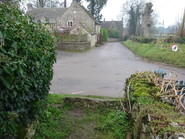
George's Grove is a picturesque woodland located in Gloucestershire, England. Covering an area of approximately 50 acres, it is situated in the heart of the county, near the town of Forest. The grove is known for its dense and diverse collection of trees, making it a popular destination for nature enthusiasts and hikers alike.

The woodland is primarily composed of native British tree species, including oak, beech, and birch. These towering trees create a lush canopy that provides shade and shelter for a variety of wildlife, such as deer, foxes, and numerous bird species. The forest floor is adorned with a carpet of vibrant wildflowers during the spring and summer months, adding to the area's natural beauty.

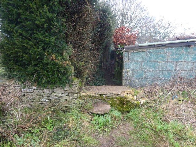
Several well-marked trails crisscross George's Grove, allowing visitors to explore its tranquil surroundings. These paths wind through the woodland, offering breathtaking views of the surrounding countryside and glimpses of the nearby River Severn. Along the trails, visitors may encounter charming wooden benches and picnic areas, providing opportunities to rest and enjoy the peaceful ambiance.

George's Grove is also home to a small pond, which serves as a vital water source for the local wildlife. Here, visitors can observe a variety of aquatic creatures, including frogs, newts, and dragonflies. The pond's edge is surrounded by reeds and other water-loving plants, creating a serene and picturesque scene that is perfect for photography enthusiasts.

Overall, George's Grove in Gloucestershire is a haven of natural beauty, offering visitors a chance to immerse themselves in the tranquility of the British woodland and experience the wonders of the local ecosystem.

If you have any feedback on the listing, please let us know in the comments section below.

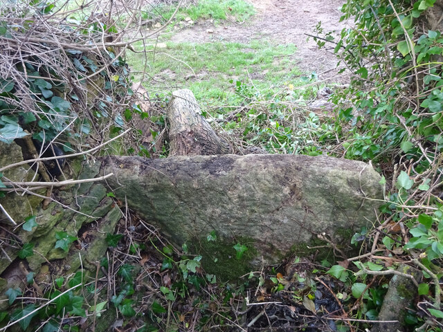
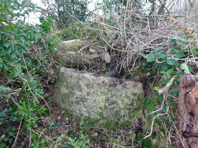
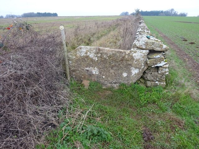
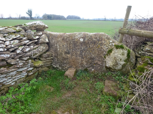
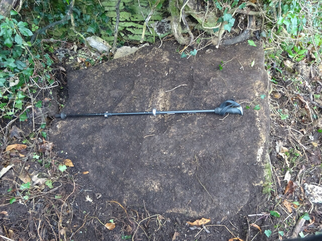
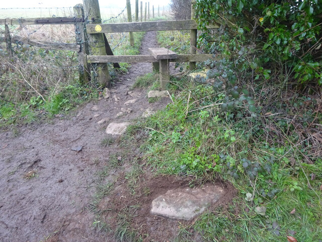
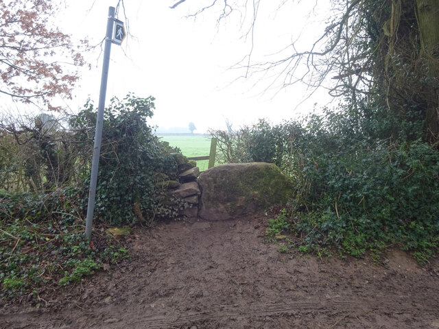
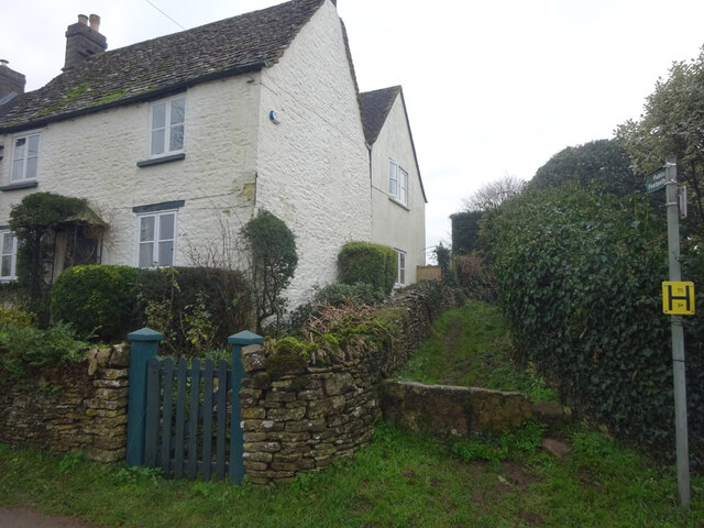
George's Grove Images

Images are sourced within 2km of 51.668152/-2.2032953 or Grid Reference ST8696. Thanks to Geograph Open Source API. All images are credited.

Stone Stile, Avening Within the parish of Avening, only 2 miles from Tetbury. Unusable because of the chopped-up trees, hence the view looking down. View is NW, the view SE is <a href="https://www.geograph.org.uk/photo/7051007">ST8796 : Stone Stile, Avening</a>.
Stone Stile, Avening
Within the parish of Avening, only 2 miles from Tetbury. Unusable because of the chopped-up trees, hence the view looking down. View is NW, the view SE is ST8796 : Stone Stile, Avening.
Stone Stile, Avening Within the parish of Avening, only 2 miles from Tetbury. Unusable because of the chopped-up trees, seen in the background. View is SE, the view NW is <a href="https://www.geograph.org.uk/photo/7051006">ST8796 : Stone Stile, Avening</a>.
Stone Stile, Avening
Within the parish of Avening, only 2 miles from Tetbury. Unusable because of the chopped-up trees, seen in the background. View is SE, the view NW is ST8796 : Stone Stile, Avening.
Stone Stile, Avening Due West of Longtree Barn, and the B4014, in the Parish of Avening. On the Gloucestershire footpath NAV16. This view is NE, the view looking South is <a href="https://www.geograph.org.uk/photo/7051048">ST8796 : Stone Stile, Avening</a>.
Stone Stile, Avening
Due West of Longtree Barn, and the B4014, in the Parish of Avening. On the Gloucestershire footpath NAV16. This view is NE, the view looking South is ST8796 : Stone Stile, Avening.
Stone Stile, Avening Due West of Longtree Barn, and the B4014, in the Parish of Avening. On the Gloucestershire footpath NAV16. This view is South, the view looking NE is <a href="https://www.geograph.org.uk/photo/7051047">ST8796 : Stone Stile, Avening</a>.
Stone Stile, Avening
Due West of Longtree Barn, and the B4014, in the Parish of Avening. On the Gloucestershire footpath NAV16. This view is South, the view looking NE is ST8796 : Stone Stile, Avening.
Stone Stile, Avening A fallen idle, this stone in this position of this size, has only one reason to be here. The view is looking NE, the view of the wooden stile looking South is <a href="https://www.geograph.org.uk/photo/7051067">ST8796 : Stone Stile, Avening</a>.
Stone Stile, Avening
A fallen idle, this stone in this position of this size, has only one reason to be here. The view is looking NE, the view of the wooden stile looking South is ST8796 : Stone Stile, Avening.
Stone Stile, Avening A fallen idle, this stone in this position of this size, has only one reason to be here. The view with the wooden stile is looking South, the view looking NE is <a href="https://www.geograph.org.uk/photo/7051064">ST8796 : Stone Stile, Avening</a>.
Stone Stile, Avening
A fallen idle, this stone in this position of this size, has only one reason to be here. The view with the wooden stile is looking South, the view looking NE is ST8796 : Stone Stile, Avening.
Stone Stile, Beverstone Opposite the entrance to Chavenage House looking NNE. On the Gloucestershire footpath NBE9, the alternative view looking SSW is <a href="https://www.geograph.org.uk/photo/7051091">ST8795 : Stone Stile, Beverstone</a>.
Stone Stile, Beverstone
Opposite the entrance to Chavenage House looking NNE. On the Gloucestershire footpath NBE9, the alternative view looking SSW is ST8795 : Stone Stile, Beverstone.
Stone Stile, Beverstone Opposite the entrance to Chavenage House looking SSW. On the Gloucestershire footpath NBE9, the alternative view looking NNE is <a href="https://www.geograph.org.uk/photo/7051089">ST8795 : Stone Stile, Beverstone</a>.
Stone Stile, Beverstone
Opposite the entrance to Chavenage House looking SSW. On the Gloucestershire footpath NBE9, the alternative view looking NNE is ST8795 : Stone Stile, Beverstone.
Stone Stile, Avening On a u/c road West of the B4014, near Tetbury but in the parish of Avening. This is looking SW from the field, the view NE is <a href="https://www.geograph.org.uk/photo/7051100">ST8795 : Stone Stile, Avening</a>. The footpath is the Macmillan Way.
Stone Stile, Avening
On a u/c road West of the B4014, near Tetbury but in the parish of Avening. This is looking SW from the field, the view NE is ST8795 : Stone Stile, Avening. The footpath is the Macmillan Way.
Stone Stile, Avening On a u/c road West of the B4014, near Tetbury but in the parish of Avening. This is looking NE to the field, the view SW is <a href="https://www.geograph.org.uk/photo/7051099">ST8795 : Stone Stile, Avening</a>. The footpath is the Macmillan Way.
Stone Stile, Avening
On a u/c road West of the B4014, near Tetbury but in the parish of Avening. This is looking NE to the field, the view SW is ST8795 : Stone Stile, Avening. The footpath is the Macmillan Way.
Stone Stile, Beverston On the tri-point of the parishes of Beverstone, Avening and Tetbury Upton. This substantial lain stone would have been the upright stile for the Macmillan Way (Gloucestershire footpath NBE9). This view is Southwards to show the thickness, the view looking down is <a href="https://www.geograph.org.uk/photo/7051147">ST8795 : Stone Stile, Beverstone</a>.
Stone Stile, Beverston
On the tri-point of the parishes of Beverstone, Avening and Tetbury Upton. This substantial lain stone would have been the upright stile for the Macmillan Way (Gloucestershire footpath NBE9). This view is Southwards to show the thickness, the view looking down is ST8795 : Stone Stile, Beverstone.
Stone Stile, Beverstone On the tri-point of the parishes of Beverstone, Avening and Tetbury Upton. This substantial lain stone would have been the upright stile for the Macmillan Way (Gloucestershire footpath NBE9). This view is Southwards to show the thickness, the view looking down is <a href="https://www.geograph.org.uk/photo/7051144">ST8795 : Stone Stile, Beverston</a>. The walking pole is to demonstrate the size.
Stone Stile, Beverstone
On the tri-point of the parishes of Beverstone, Avening and Tetbury Upton. This substantial lain stone would have been the upright stile for the Macmillan Way (Gloucestershire footpath NBE9). This view is Southwards to show the thickness, the view looking down is ST8795 : Stone Stile, Beverston. The walking pole is to demonstrate the size.
Stone Stile, Nailsworth A remnant of a dressed stone at the junction of Gloucestershire footpath ZNA33 and Shipton's Grove Lane. The parish boundary with Avening runs along the lane. The stone was most likely from a squeeze stile once. Now a fallen idle (sic).
Stone Stile, Nailsworth
A remnant of a dressed stone at the junction of Gloucestershire footpath ZNA33 and Shipton's Grove Lane. The parish boundary with Avening runs along the lane. The stone was most likely from a squeeze stile once. Now a fallen idle (sic).
Stone Stile, Horsley Off Shipton's Grove Lane on Gloucestershire footpath MHO29 looking South. The view looking North is <a href="https://www.geograph.org.uk/photo/7072007">ST8598 : Stone Stile, Horsley</a>.
Stone Stile, Horsley
Off Shipton's Grove Lane on Gloucestershire footpath MHO29 looking South. The view looking North is ST8598 : Stone Stile, Horsley.
Stone Stile, Horsley Off Shipton's Grove Lane on Gloucestershire footpath MHO29 looking North from the field. The view looking South is <a href="https://www.geograph.org.uk/photo/7072004">ST8598 : Stone Stile, Horsley</a>.
Stone Stile, Horsley
Off Shipton's Grove Lane on Gloucestershire footpath MHO29 looking North from the field. The view looking South is ST8598 : Stone Stile, Horsley.
Stone Stile, Horsley Opposite the T junction looking SE in Upper Barton End on Gloucestershire footpath MHO38. The view looking to the road is <a href="https://www.geograph.org.uk/photo/7072035">ST8497 : Stone Stile, Horsley</a>.
Stone Stile, Horsley
Opposite the T junction looking SE in Upper Barton End on Gloucestershire footpath MHO38. The view looking to the road is ST8497 : Stone Stile, Horsley.
Stone Stile, Horsley Opposite the T junction looking SE in Upper Barton End on Gloucestershire footpath MHO38. The view looking to the road is <a href="https://www.geograph.org.uk/photo/7072034">ST8497 : Stone Stile, Horsley</a>.
Stone Stile, Horsley
Opposite the T junction looking SE in Upper Barton End on Gloucestershire footpath MHO38. The view looking to the road is ST8497 : Stone Stile, Horsley.
Stone Stile, Horsley Upper Barton End. A step stile, the steps are single slab of stone, probably the stone used in the original slab stile. The other view looking from Gloucestershire footpath MHO38 is <a href="https://www.geograph.org.uk/photo/7072052">ST8497 : Stone Stile, Horsley</a>.
Stone Stile, Horsley
Upper Barton End. A step stile, the steps are single slab of stone, probably the stone used in the original slab stile. The other view looking from Gloucestershire footpath MHO38 is ST8497 : Stone Stile, Horsley.
Show me another place!

George's Grove is located at Grid Ref: ST8696 (Lat: 51.668152, Lng: -2.2032953)

Administrative County: Gloucestershire

District: Stroud

Police Authority: Gloucestershire

What 3 Words

///seaside.evolution.carbon. Near Avening, Gloucestershire

Related Wikis

Barton End

Barton End is a village just south of Nailsworth, Gloucestershire, England.
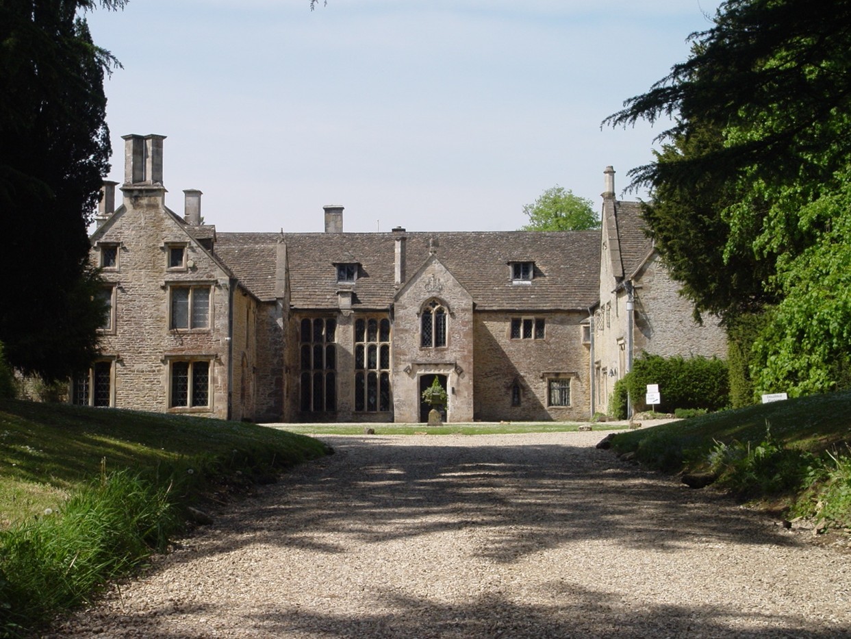
Chavenage House

Chavenage House, Beverston, Gloucestershire is a country house dating from the late 16th century. The house was built in 1576 and is constructed of Cotswold...

Church of the Holy Cross, Avening

The Anglican Church of the Holy Cross at Avening in the Cotswold District of Gloucestershire, England was built in late 11th century. It is a grade I listed...

Avening Valley

The Avening Valley is located in the South Cotswolds in England, running roughly east from Nailsworth and through the village of Avening.During the 17th...

Calcot Manor

Calcot Manor is a historic building in Calcot, three and a half miles west of Tetbury on A 4135 in Gloucestershire, England, near the junction of roads...

St Mary's Church, Beverston

The Church of Saint Mary the Virgin is the parish church of Beverston, Gloucestershire, England, and a Grade II* listed building. The church is of Norman...

Horsley, Gloucestershire

Horsley is a village and civil parish about one and a half miles south-west of the small Cotswold market town of Nailsworth. The origins of the name Horsley...

Horsley Priory

Horsley Priory was a medieval, monastic house in Gloucestershire, England. Goda owned an estate at Horsley, in 1066. It was granted to Troarn Abbey by...

Nearby Amenities

Located within 500m of 51.668152,-2.2032953
Archaeological Site: tumulus
Historic: archaeological_site
Source: NPE
Lat/Long: 51.672568/-2.2038352
Power: pole
Lat/Long: 51.6665449/-2.2094589
Power: pole
Lat/Long: 51.6661673/-2.2077423
Power: pole
Lat/Long: 51.6658246/-2.2064012
Power: pole
Lat/Long: 51.6654686/-2.2048616
Power: pole
Lat/Long: 51.6650926/-2.2032899
Power: pole
Lat/Long: 51.6647432/-2.2018683
Power: pole
Lat/Long: 51.6644088/-2.200487
The data included in this document is from www.openstreetmap.org. The data is made available under ODbL.

Have you been to George's Grove?

Leave your review of George's Grove below (or comments, questions and feedback).