Countesspark Wood
Wood, Forest in Northumberland
England
Countesspark Wood

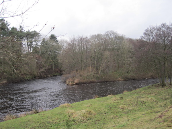
Countesspark Wood is a picturesque woodland located in Northumberland, England. Covering an area of approximately 20 hectares, it is a popular destination for nature lovers and outdoor enthusiasts. The wood is situated near the village of Matfen, offering visitors a tranquil and peaceful environment to explore.
Countesspark Wood is characterized by its diverse range of tree species, including oak, ash, birch, and beech. The trees provide a dense canopy, creating a shady and cool atmosphere during the summer months. The forest floor is covered in a thick layer of leaf litter, which adds to the natural beauty of the woodland.
The wood is home to a variety of wildlife, making it a haven for nature enthusiasts. Visitors may spot various bird species, such as woodpeckers, owls, and warblers. Mammals like foxes, squirrels, and rabbits also inhabit the area.
Several well-maintained walking trails crisscross through the wood, offering visitors the opportunity to explore its beauty. These trails vary in length and difficulty, catering to both casual strollers and avid hikers. In addition to walking, the wood is also a popular spot for picnicking and photography.
Countesspark Wood is managed by the Forestry Commission, ensuring its preservation and conservation for future generations. The wood is open to the public throughout the year, and admission is free. It is recommended to check for any closures or restrictions before visiting, as the wood may occasionally be closed for maintenance.
If you have any feedback on the listing, please let us know in the comments section below.
Countesspark Wood Images
Images are sourced within 2km of 55.124579/-2.2136378 or Grid Reference NY8681. Thanks to Geograph Open Source API. All images are credited.


Countesspark Wood is located at Grid Ref: NY8681 (Lat: 55.124579, Lng: -2.2136378)
Unitary Authority: Northumberland
Police Authority: Northumbria
What 3 Words
///websites.resorting.takeovers. Near Bellingham, Northumberland
Nearby Locations
Related Wikis

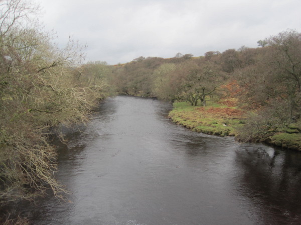
River Rede
The Rede is a river in Northumberland, England. The river rises on Carter Fell on the Anglo-Scottish border feeding Catcleugh Reservoir and joins the River...

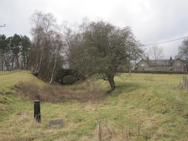
Countess Park railway station
Countess Park railway station served the village of Bellingham, Northumberland, England from 1859 to 1861, during the construction of the Border Counties...

Reedsmouth railway station
Reedsmouth is a closed railway station in Northumberland, England. It was a junction station where the Wansbeck Railway (Morpeth to Reedsmouth) joined...
Redesmouth
Redesmouth is a village in Northumberland, England, just over 1 mile (1.6 km) to the south-east of Bellingham. == Governance == Redesmouth is in the parliamentary...
Nearby Amenities
Located within 500m of 55.124579,-2.2136378Have you been to Countesspark Wood?
Leave your review of Countesspark Wood below (or comments, questions and feedback).