New House Plantation

Wood, Forest in Yorkshire Pendle

England

New House Plantation

Horton bridge The benchmark is cut into the eastern parapet of the bridge.
Horton bridge Credit: Mel Towler

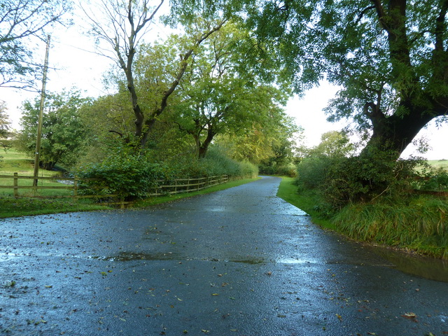
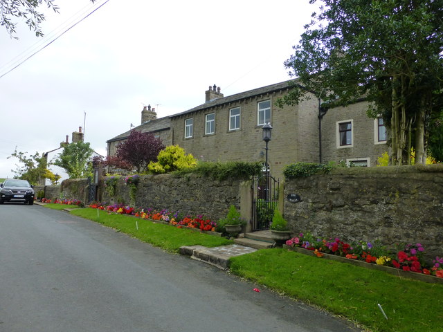
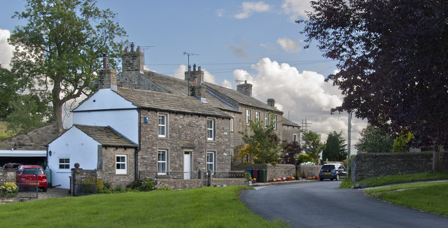
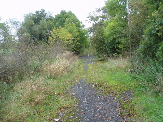
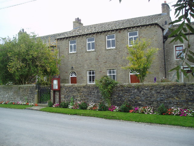
New House Plantation, located in Yorkshire, is a stunning wood or forest that boasts an array of natural beauty and abundant biodiversity. Spanning over a vast area, this plantation is known for its dense vegetation, towering trees, and serene environment.

The wood is dominated by a variety of tree species, including oak, beech, ash, and birch, which provide a picturesque landscape throughout the year. The plantation also includes a rich understory of shrubs, ferns, and wildflowers, adding to its overall charm and diversity.

One of the notable features of New House Plantation is its well-maintained trails and pathways, allowing visitors to explore its beauty at their own pace. The paths wind through the forest, offering breathtaking views of the surrounding countryside and glimpses of wildlife that call this plantation their home. Bird enthusiasts will be delighted to spot various species, such as woodpeckers, owls, and songbirds, while lucky visitors may even catch a glimpse of deer or rabbits.

New House Plantation is not only a haven for nature lovers but also serves as an important ecological site. The wood plays a significant role in carbon sequestration, helping to mitigate climate change and maintain the overall health of the ecosystem.

With its tranquil atmosphere, diverse flora and fauna, and well-preserved trails, New House Plantation is a must-visit destination for those seeking a peaceful retreat in the heart of Yorkshire's natural beauty.

If you have any feedback on the listing, please let us know in the comments section below.

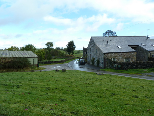
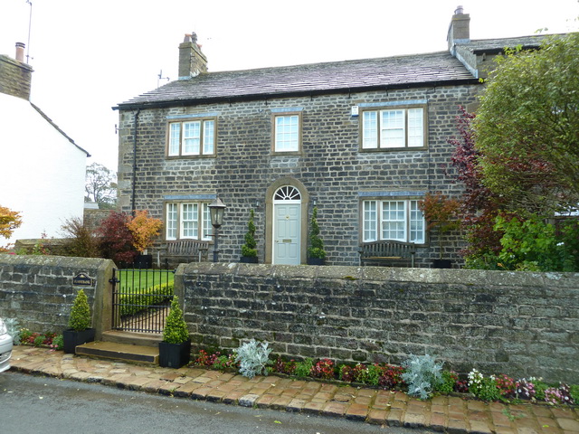
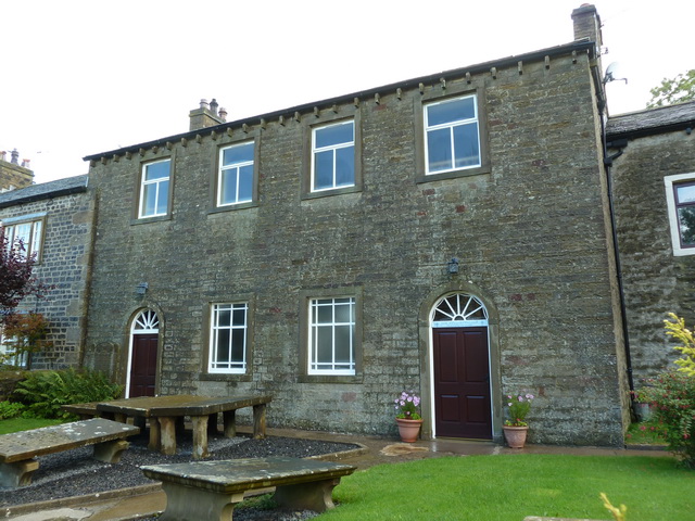
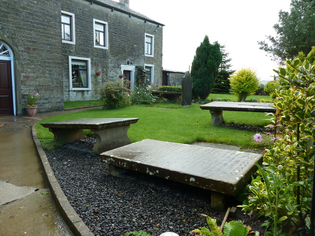
New House Plantation Images

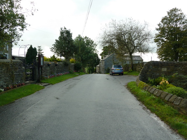
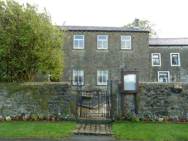
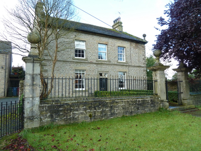
Images are sourced within 2km of 53.934526/-2.2143139 or Grid Reference SD8648. Thanks to Geograph Open Source API. All images are credited.

Horton bridge The benchmark is cut into the eastern parapet of the bridge.
Horton bridge
The benchmark is cut into the eastern parapet of the bridge.
Horton bridge There is a benchmark cut into the eastern parapet of the bridge. It is located to the right of the small concrete support seen in the centre of the picture.
Horton bridge
There is a benchmark cut into the eastern parapet of the bridge. It is located to the right of the small concrete support seen in the centre of the picture.
Gutteridge Farm
Gutteridge Farm
Fields East of Gisburn
Sunnybank, Horton
Sunnybank, Horton
Higher Paradise Congregational Chapel, Horton
Higher Paradise Congregational Chapel, Horton, Graveyard
Green Lane, Horton
Green Lane, Horton
Higher Paradise Congregational Chapel, Horton
Horton House, Horton
Road to Hoober
Road to Hoober
Green Lane at Horton Green
Track off Wing Lane
Track off Wing Lane
The Manse at Horton
The Manse at Horton
Horton
Horton
A road no longer.... The A 59 (no longer a trunk since completion of the M65) has been subject to many improvements and straightenings over the years. In several places this has left 'dead' loops of the old road, as here between West Marton and Gisburn in Yorkshire.  Some of the road markings can still be discerned.  View looking east, near to where 'Dick Turpin's' (a mobile roadside cafe) is normally parked, but on this day he was not there.
A road no longer....
The A 59 (no longer a trunk since completion of the M65) has been subject to many improvements and straightenings over the years. In several places this has left 'dead' loops of the old road, as here between West Marton and Gisburn in Yorkshire. Some of the road markings can still be discerned. View looking east, near to where 'Dick Turpin's' (a mobile roadside cafe) is normally parked, but on this day he was not there.
Higher Paradise Congregational Chapel, Horton, Yorkshire Against all the odds, this tiny chapel is still in the business of saving souls in the little village of Horton, about half a mile north of the A 59.  'Horton' is a common placename in Yorkshire, and this village should not be confused with Horton-in-Ribblesdale or with Horton in Bradford.
Higher Paradise Congregational Chapel, Horton, Yorkshire
Against all the odds, this tiny chapel is still in the business of saving souls in the little village of Horton, about half a mile north of the A 59. 'Horton' is a common placename in Yorkshire, and this village should not be confused with Horton-in-Ribblesdale or with Horton in Bradford.
Show me another place!

New House Plantation is located at Grid Ref: SD8648 (Lat: 53.934526, Lng: -2.2143139)

Division: West Riding

Administrative County: Lancashire

District: Pendle

Police Authority: Lancashire

What 3 Words

///tickling.format.emulating. Near Barnoldswick, Lancashire

Related Wikis

Bracewell and Brogden

Bracewell and Brogden is a civil parish in the West Craven area of the Borough of Pendle in Lancashire, England. According to the 2001 census it had a...

St Michael's Church, Bracewell

St Michael's Church is in Bracewell Lane, Bracewell, Lancashire, England. It is an active Anglican parish church in the deanery of Skipton, the archdeaconry...

A59 road

The A59 is a major road in England which is around 109 miles (175 km) long and runs from Wallasey, Merseyside to York, North Yorkshire. The alignment formed...

Horton, Lancashire

Horton, historically known as Horton-in-Craven, is a village and a civil parish in the Ribble Valley district of the English county of Lancashire (historically...

Nearby Amenities

Located within 500m of 53.934526,-2.2143139
Bracewell
Is In Country Code: GB
Is In County: Lancashire
Is In Municipality: Pendle
Place: village
Source: npe
Lat/Long: 53.9320999/-2.210793
Mill Hill
Natural: peak
Source: OS 1:25k
Lat/Long: 53.9374762/-2.2127363
Bracewell Hall
Historic: house
Is In Country Code: GB
Is In County: Lancashire
Is In Municipality: Pendle
Source: OS 1:25k
Lat/Long: 53.9314758/-2.2104833
Lodge Hill
Natural: peak
Source: OS 1:25k
Lat/Long: 53.9335476/-2.219753
The data included in this document is from www.openstreetmap.org. The data is made available under ODbL.

Have you been to New House Plantation?

Leave your review of New House Plantation below (or comments, questions and feedback).