Hole Plantation

Wood, Forest in Durham

England

Hole Plantation

Grazing pasture at Newhouse Pastures This is an area of level pasture adjacent to the Weardale Way.
Grazing pasture at Newhouse Pastures Credit: Clive Nicholson

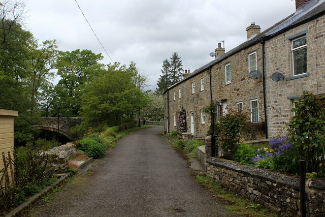
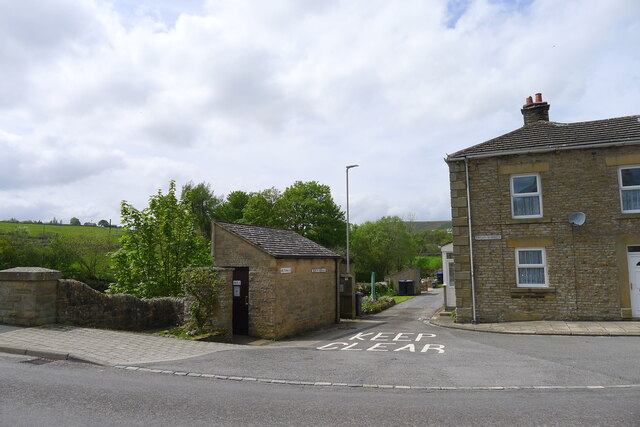
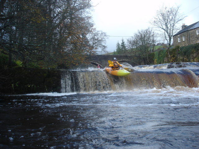
Hole Plantation is a picturesque woodland located in Durham, England. This 200-acre forested area is known for its natural beauty and serene atmosphere. The plantation is situated in the heart of the Durham countryside, providing visitors with a tranquil escape from the bustling city life.

The woodland is primarily composed of various species of trees, including oak, beech, and birch, creating a diverse and lush environment. The dense canopy provides shade and shelter for a wide range of wildlife, making it an ideal habitat for birds, squirrels, and other woodland creatures. Nature enthusiasts will also find an abundance of flora, such as bluebells and wild garlic, adding bursts of color to the forest floor.

Hole Plantation offers several walking trails that wind through the woodland, allowing visitors to explore its natural wonders. These paths are well-maintained, making it accessible for both leisurely strolls and more adventurous hikes. Along the way, visitors can enjoy the peaceful sound of birdsong and the scent of fresh pine.

The plantation is a popular destination for outdoor activities, such as picnicking, birdwatching, and photography. It provides an ideal setting for families to spend quality time together and for individuals to unwind in nature's embrace. The tranquil ambiance and striking beauty of the Hole Plantation make it a must-visit location for anyone seeking solace in Durham's woodlands.

If you have any feedback on the listing, please let us know in the comments section below.

Hole Plantation Images

Images are sourced within 2km of 54.740128/-2.2185657 or Grid Reference NY8638. Thanks to Geograph Open Source API. All images are credited.

Grazing pasture at Newhouse Pastures This is an area of level pasture adjacent to the Weardale Way.
Grazing pasture at Newhouse Pastures
This is an area of level pasture adjacent to the Weardale Way.
Farmland west of St John's Chapel
River Wear near Waterside Farm
Newfield The property at Newfield seen along its access road high on the northern side of Weardale.
Newfield
The property at Newfield seen along its access road high on the northern side of Weardale.
Trees on grazing land at West Blackdene Several deciduous trees in the field which has rough grazing; it's south of a minor road in Weardale.
Chapel Fell is the moorland hill in the distance.
Trees on grazing land at West Blackdene
Several deciduous trees in the field which has rough grazing; it's south of a minor road in Weardale. Chapel Fell is the moorland hill in the distance.
Trees in valley of Elmford Cleugh Elmford Cleugh is a tributary of the River Wear descending on the north side of the valley.
Trees in valley of Elmford Cleugh
Elmford Cleugh is a tributary of the River Wear descending on the north side of the valley.
Head of the River Wear The point where Killhope Burn and Burnhope Burn meet to become the River Wear - at the aptly named village of Wearhead.
Head of the River Wear
The point where Killhope Burn and Burnhope Burn meet to become the River Wear - at the aptly named village of Wearhead.
Wearhead The A689 running through the small village of Wearhead
Wearhead
The A689 running through the small village of Wearhead
West Blackdene Small community near Ireshopeburn in Weardale
West Blackdene
Small community near Ireshopeburn in Weardale
Weardale Way between Wearhead and West Blackdene Riverside path in pastures beside the Wear
Weardale Way between Wearhead and West Blackdene
Riverside path in pastures beside the Wear
River Wear at West Blackdene The Weardale Way crosses the river at this point, to reach West Blackdene
River Wear at West Blackdene
The Weardale Way crosses the river at this point, to reach West Blackdene
On the Weardale Way opposite Iresburnhope The long distance footpath on the banks of the Wear, opposite the small village of Iresburnhope
On the Weardale Way opposite Iresburnhope
The long distance footpath on the banks of the Wear, opposite the small village of Iresburnhope
Newhouse Pasture Green pasture on the valley floor of Weardale
Newhouse Pasture
Green pasture on the valley floor of Weardale
Footbridge across the River Wear A 77 mile route following the River Wear from the sea at the Lindesfarne Memorial, Sunderland to the headwaters in the east Pennines, keeping as close as is possible to the river. It visits Lumley Castle, Durham (where the Castle and Cathedral forms a World Heritage Site), Bishop Auckland and Stanhope. After Stanhope the Way makes a northward loop to Rookhope to take in part of a tributary, Rookhope Burn.
Footbridge across the River Wear
A 77 mile route following the River Wear from the sea at the Lindesfarne Memorial, Sunderland to the headwaters in the east Pennines, keeping as close as is possible to the river. It visits Lumley Castle, Durham (where the Castle and Cathedral forms a World Heritage Site), Bishop Auckland and Stanhope. After Stanhope the Way makes a northward loop to Rookhope to take in part of a tributary, Rookhope Burn.
River level monitoring station on the Killhope Burn, Wearhead For information on water levels: <span class="nowrap"><a title="https://riverlevels.uk/killhope-burn-stanhope-wearhead#.YpYn1qjMJPY" rel="nofollow ugc noopener" href="https://riverlevels.uk/killhope-burn-stanhope-wearhead#.YpYn1qjMJPY">Link</a><img style="margin-left:2px;" alt="External link" title="External link - shift click to open in new window" src="https://s1.geograph.org.uk/img/external.png" width="10" height="10"/></span>
River level monitoring station on the Killhope Burn, Wearhead
For information on water levels: LinkExternal link
The head of the Wear at Wearhead The River Wear starts here, below the junction of the Burnhope Burn and the Killhope Burn. Weardale, and the Weardale Way start 4½ miles upstream at the head of the Killhope Burn
The head of the Wear at Wearhead
The River Wear starts here, below the junction of the Burnhope Burn and the Killhope Burn. Weardale, and the Weardale Way start 4½ miles upstream at the head of the Killhope Burn
Public convenience, Wearhead The villages of Weardale are well supplied with free toilets.
Public convenience, Wearhead
The villages of Weardale are well supplied with free toilets.
The Weardale Way crossing the Wear to West Blackdene A 77 mile route following the River Wear from the sea at the Lindesfarne Memorial, Sunderland to the headwaters in the east Pennines, keeping as close as is possible to the river. It visits Lumley Castle, Durham (where the Castle and Cathedral forms a World Heritage Site), Bishop Auckland and Stanhope. After Stanhope the Way makes a northward loop to Rookhope to take in part of a tributary, Rookhope Burn.
The Weardale Way crossing the Wear to West Blackdene
A 77 mile route following the River Wear from the sea at the Lindesfarne Memorial, Sunderland to the headwaters in the east Pennines, keeping as close as is possible to the river. It visits Lumley Castle, Durham (where the Castle and Cathedral forms a World Heritage Site), Bishop Auckland and Stanhope. After Stanhope the Way makes a northward loop to Rookhope to take in part of a tributary, Rookhope Burn.
Show me another place!

Hole Plantation is located at Grid Ref: NY8638 (Lat: 54.740128, Lng: -2.2185657)

Unitary Authority: County Durham

Police Authority: Durham

What 3 Words

///hubcaps.booklets.vent. Near Newbiggin, Co. Durham

Related Wikis

New House, County Durham

New House or Newhouse is a hamlet in the civil parish of Stanhope, in County Durham, England. It lies on the north side of the River Wear, opposite Ireshopeburn...

Ireshopeburn

Ireshopeburn ( EYE-sup-burn ) is a village in the civil parish of Stanhope, in County Durham, England. It is situated on the south side of Weardale, between...

West Blackdene

West Blackdene is a village in the civil parish of Stanhope, in County Durham, England. It is situated to the north of the River Wear, opposite Ireshopeburn...

Wearhead railway station

Wearhead railway station served the village of Wearhead, County Durham, England, from 1895 to 1961 on the Weardale Railway. == History == The station opened...

Wearhead

Wearhead is a village in the civil parish of Stanhope, in County Durham, England. It is situated at the top of Weardale between Cowshill and Ireshopeburn...

Burnhope Reservoir railway

The Burnhope Reservoir railway was an industrial narrow gauge railway built to serve the construction of Burnhope Reservoir near Weardale. An extensive...

Far High House Meadows

Far High House Meadows is a Site of Special Scientific Interest in Upper Weardale in west County Durham, England. It consists of three fields, located...

Cowshill

Cowshill is a village in the civil parish of Stanhope, in County Durham, England. It is situated at the top of Weardale, between Lanehead and Wearhead...

Nearby Amenities

Located within 500m of 54.740128,-2.2185657
Barbary Mine
Historic: mine
Source: OS_OpenData_StreetView
Lat/Long: 54.7397856/-2.2225421
Barrier: cattle_grid
Lat/Long: 54.7375856/-2.2165378
Image: https://www.geograph.org.uk/photo/1849187
Man Made: tower
Tower Construction: lattice
Tower Type: communication
Lat/Long: 54.7384522/-2.2157027
Barrier: entrance
Lat/Long: 54.7360397/-2.2153727
Barrier: entrance
Lat/Long: 54.7367336/-2.215105
Disused: yes
Man Made: mineshaft
Resource: lead
Lat/Long: 54.7386671/-2.2141394
Ford: yes
Lat/Long: 54.7405947/-2.2190755
Power: pole
Lat/Long: 54.7389637/-2.2111648
Power: pole
Lat/Long: 54.7394514/-2.2118059
Power: pole
Lat/Long: 54.7399299/-2.212408
Power: pole
Lat/Long: 54.7404006/-2.2130142
Power: pole
Transformer: distribution
Lat/Long: 54.7378038/-2.2164476
Power: pole
Lat/Long: 54.7383216/-2.216758
Power: pole
Lat/Long: 54.7389/-2.2159076
Power: pole
Lat/Long: 54.7394761/-2.2150573
Power: pole
Lat/Long: 54.7400435/-2.2142258
Power: pole
Lat/Long: 54.7404434/-2.2130133
Power: pole
Lat/Long: 54.7408549/-2.2117832
Power: pole
Lat/Long: 54.7411615/-2.2110224
Carrick's Level
Disused: yes
Man Made: adit
Resource: iron_ore
Source: NLS OS 1:10k
Lat/Long: 54.7362435/-2.2169675
Power: pole
Lat/Long: 54.7420714/-2.2115831
The data included in this document is from www.openstreetmap.org. The data is made available under ODbL.

Have you been to Hole Plantation?

Leave your review of Hole Plantation below (or comments, questions and feedback).