Finlow Hill Wood
Wood, Forest in Cheshire
England
Finlow Hill Wood

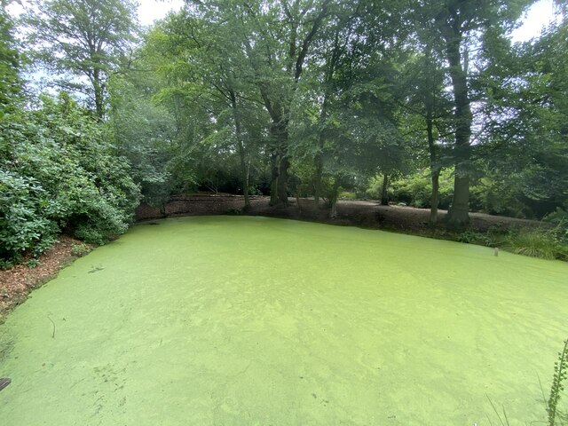
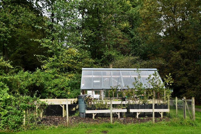
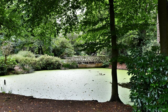
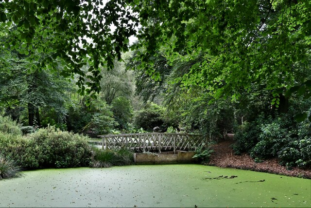
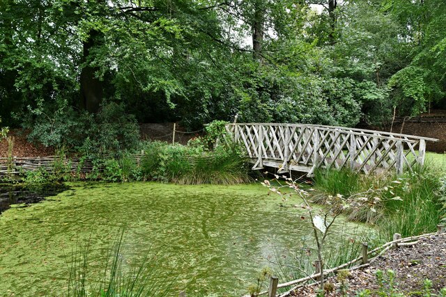
Finlow Hill Wood is a beautiful woodland located in Cheshire, England. Covering an area of approximately 30 hectares, it is a well-preserved example of the ancient woodland that once dominated the region. The wood is situated on a gently sloping hillside, providing visitors with stunning views of the surrounding countryside.
The woodland is predominantly composed of broadleaf trees, including oak, ash, beech, and birch. These trees create a diverse and rich habitat for a wide variety of flora and fauna. Bluebells carpet the forest floor in the spring, creating a vibrant and picturesque scene.
Finlow Hill Wood is home to an array of wildlife, including mammals such as deer, foxes, and badgers. It is also a haven for birdwatchers, with species such as woodpeckers, owls, and buzzards frequently spotted in the area. The woodland's tranquil atmosphere and abundant wildlife make it a popular destination for nature enthusiasts and walkers.
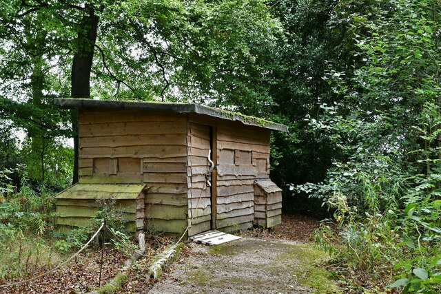
The wood is crisscrossed by a network of well-maintained footpaths, allowing visitors to explore its beauty at their leisure. There are also picnic areas and benches scattered throughout the woodland, providing opportunities for visitors to relax and enjoy the peaceful surroundings.
Finlow Hill Wood is managed by a local conservation group in collaboration with the Forestry Commission, ensuring its protection and preservation for future generations. The wood is open to the public year-round and is a cherished green space in the Cheshire countryside.
If you have any feedback on the listing, please let us know in the comments section below.
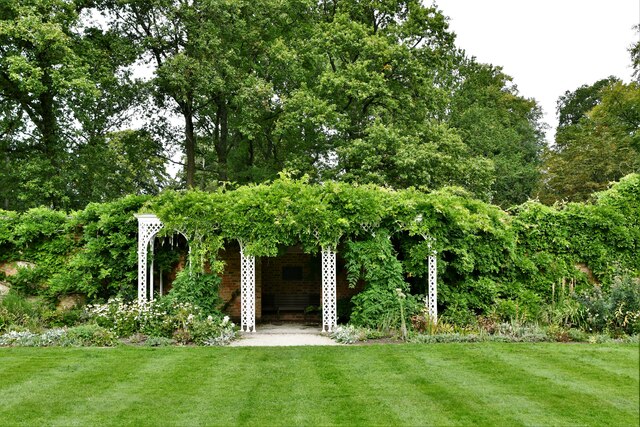
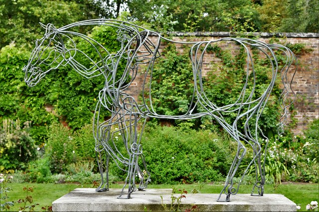
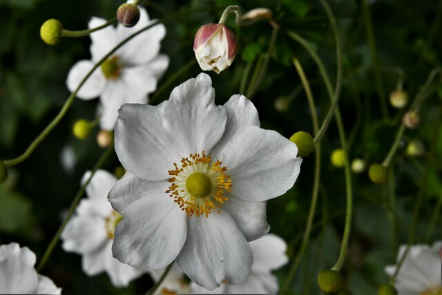
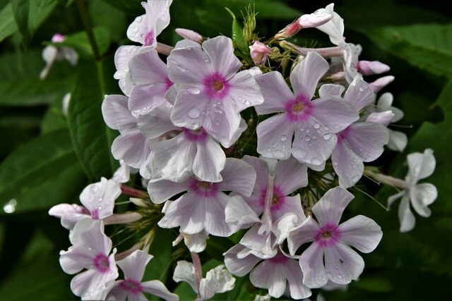
Finlow Hill Wood Images
Images are sourced within 2km of 53.289903/-2.2111154 or Grid Reference SJ8677. Thanks to Geograph Open Source API. All images are credited.


Finlow Hill Wood is located at Grid Ref: SJ8677 (Lat: 53.289903, Lng: -2.2111154)
Unitary Authority: Cheshire East
Police Authority: Cheshire
What 3 Words
///misted.such.denim. Near Alderley Edge, Cheshire
Nearby Locations
Related Wikis

Alderley Edge Mines
The Alderley Edge Mines are located on the escarpment in Alderley Edge, Cheshire. Archaeological evidence indicates that copper mining took place here...

Geology of Alderley Edge
One of the classic locations for the study of Triassic sandstones in the UK is at Alderley Edge in Cheshire. Numerous scientists from the early 19th century...

Over Alderley
Over Alderley is a civil parish in Cheshire, England. It had a population of 318 at the 2011 Census.It includes the hamlets of Adders Moss, Adshead Green...

Hare Hill
Hare Hill Hall is a country house and a garden in the parish of Over Alderley, Cheshire, England. The house and grounds are privately owned, and the separate...

Alderley, Cheshire
Alderley was one of the eight ancient parishes of the Macclesfield Hundred of Cheshire, England. It included the following townships: Over Alderley Nether...

Alderley Old Hall
Alderley Old Hall is the remaining part of a former 17th-century manor house near the village of Nether Alderley, Cheshire, England. It stands adjacent...
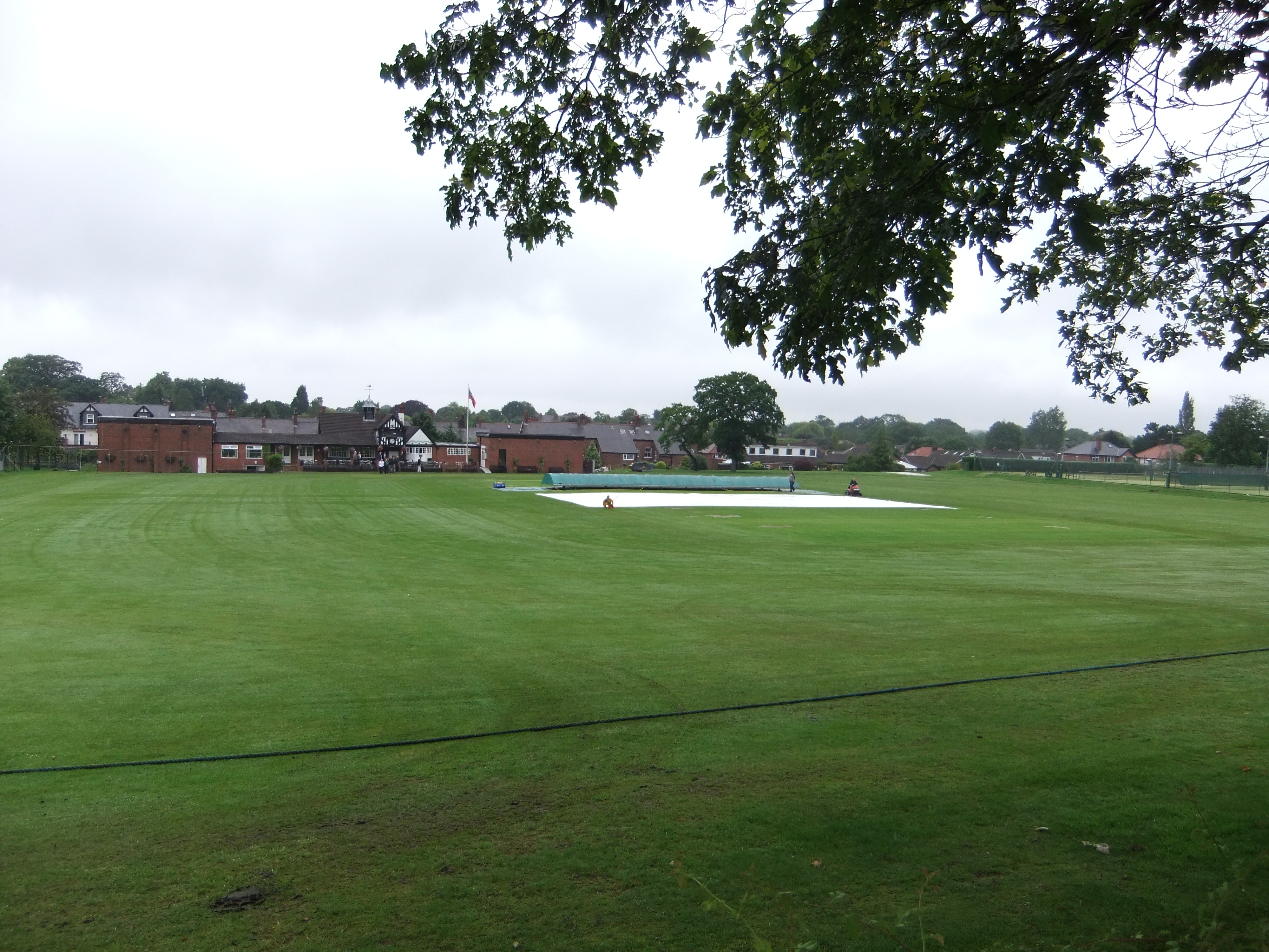
Moss Lane, Alderley Edge
Moss Lane is a cricket ground in Moss Lane, Alderley Edge, Cheshire. The ground is surrounded on all four sides by residential housing. The ground is used...

Nether Alderley Mill
Nether Alderley Mill is a 16th-century watermill located in Congleton Road (the A34), to the south of the village of Nether Alderley, Cheshire, England...
Nearby Amenities
Located within 500m of 53.289903,-2.2111154Have you been to Finlow Hill Wood?
Leave your review of Finlow Hill Wood below (or comments, questions and feedback).