Three Cornered Wood
Wood, Forest in Dorset
England
Three Cornered Wood
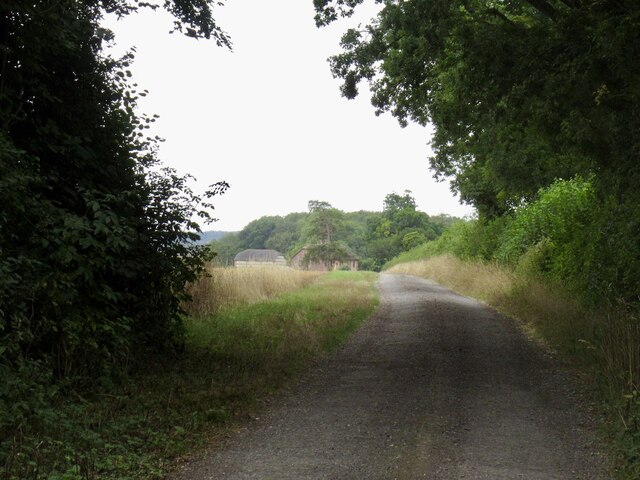
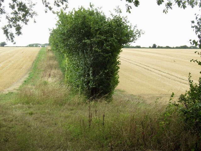
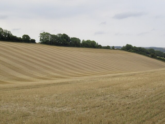
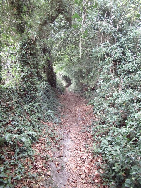
Three Cornered Wood is a picturesque forest located in the county of Dorset, England. Situated near the village of Three Cornered, this woodland area spans approximately 50 acres and is renowned for its natural beauty and diverse ecosystem.
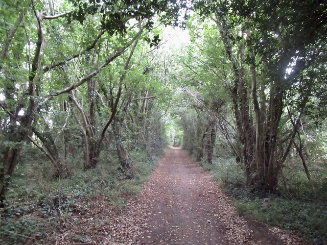
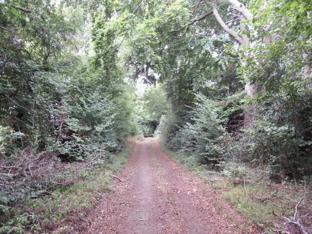
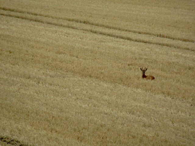
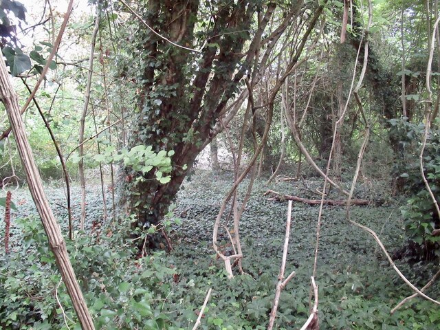
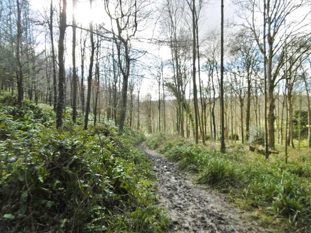
The wood is primarily composed of mixed broadleaf trees, including oak, beech, and ash, which create a dense canopy that provides shade and shelter for numerous wildlife species. It is home to an array of flora and fauna, including birds such as woodpeckers, tits, and finches, as well as small mammals like squirrels and deer.
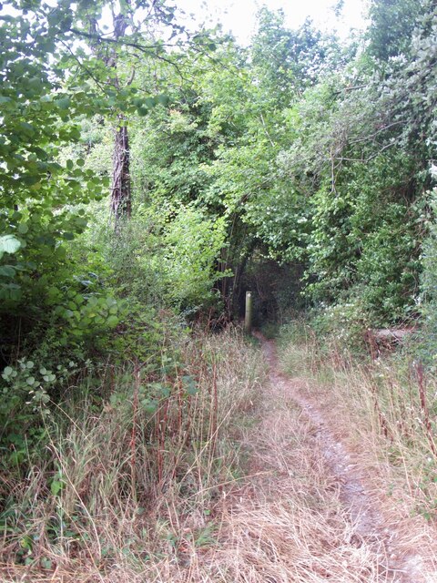
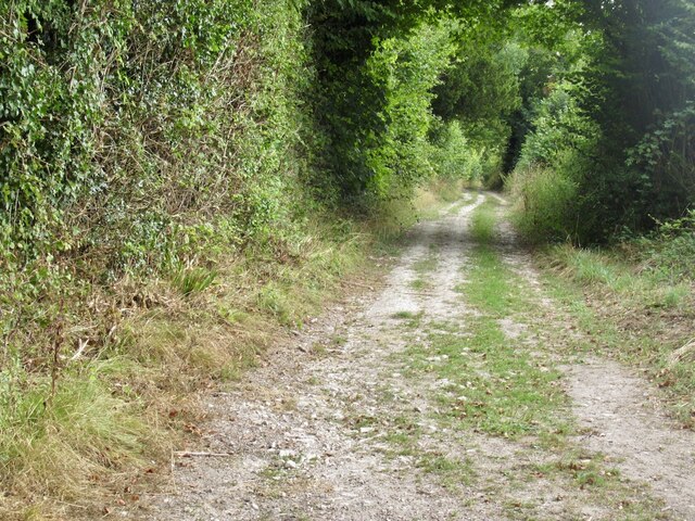
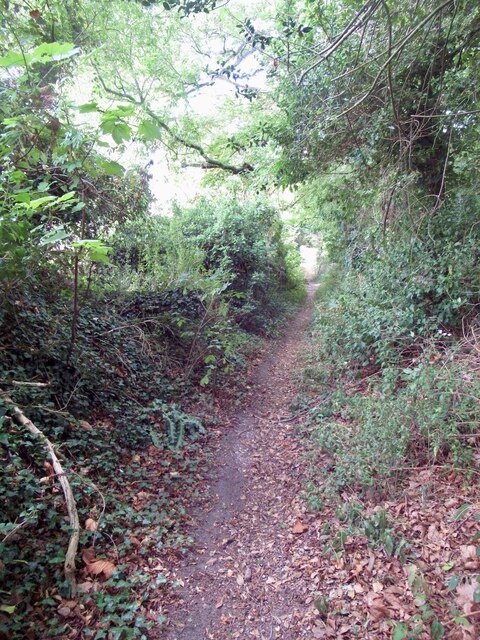
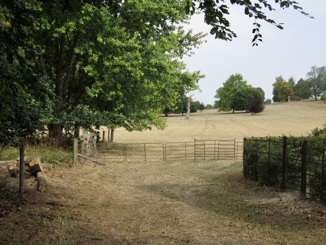
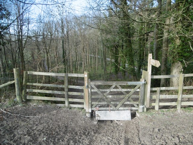
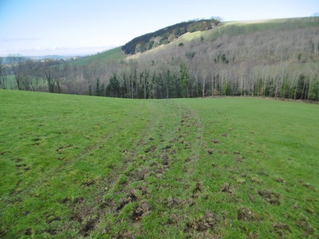
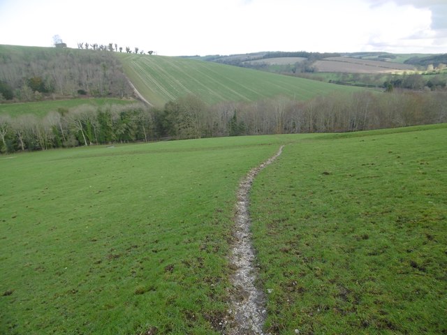
Visitors to Three Cornered Wood can explore its network of well-maintained footpaths and trails, offering opportunities for leisurely walks and peaceful hikes. The forest's undulating terrain adds to its charm, with gentle slopes and occasional clearings providing breathtaking views of the surrounding countryside.
Nature enthusiasts will appreciate the wood's rich biodiversity, as it hosts a wide variety of plant species, including bluebells, wild garlic, and ferns. This makes Three Cornered Wood particularly captivating during the spring and summer months when the forest floor is carpeted in vibrant colors and fragrant scents.
The wood also has historical significance, with traces of ancient settlements and archaeological sites scattered throughout its grounds. These remnants offer insight into the area's past, providing visitors with a glimpse into the lives of those who once inhabited this beautiful woodland.
Overall, Three Cornered Wood in Dorset is a haven of tranquility and natural wonder, offering visitors a chance to immerse themselves in the captivating beauty of the English countryside.
If you have any feedback on the listing, please let us know in the comments section below.
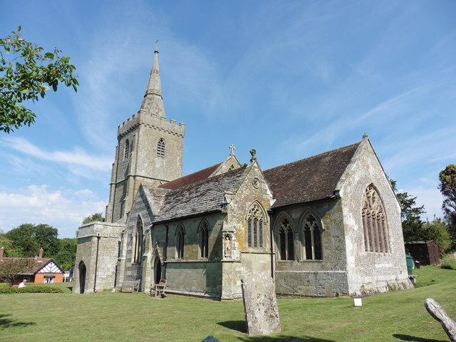
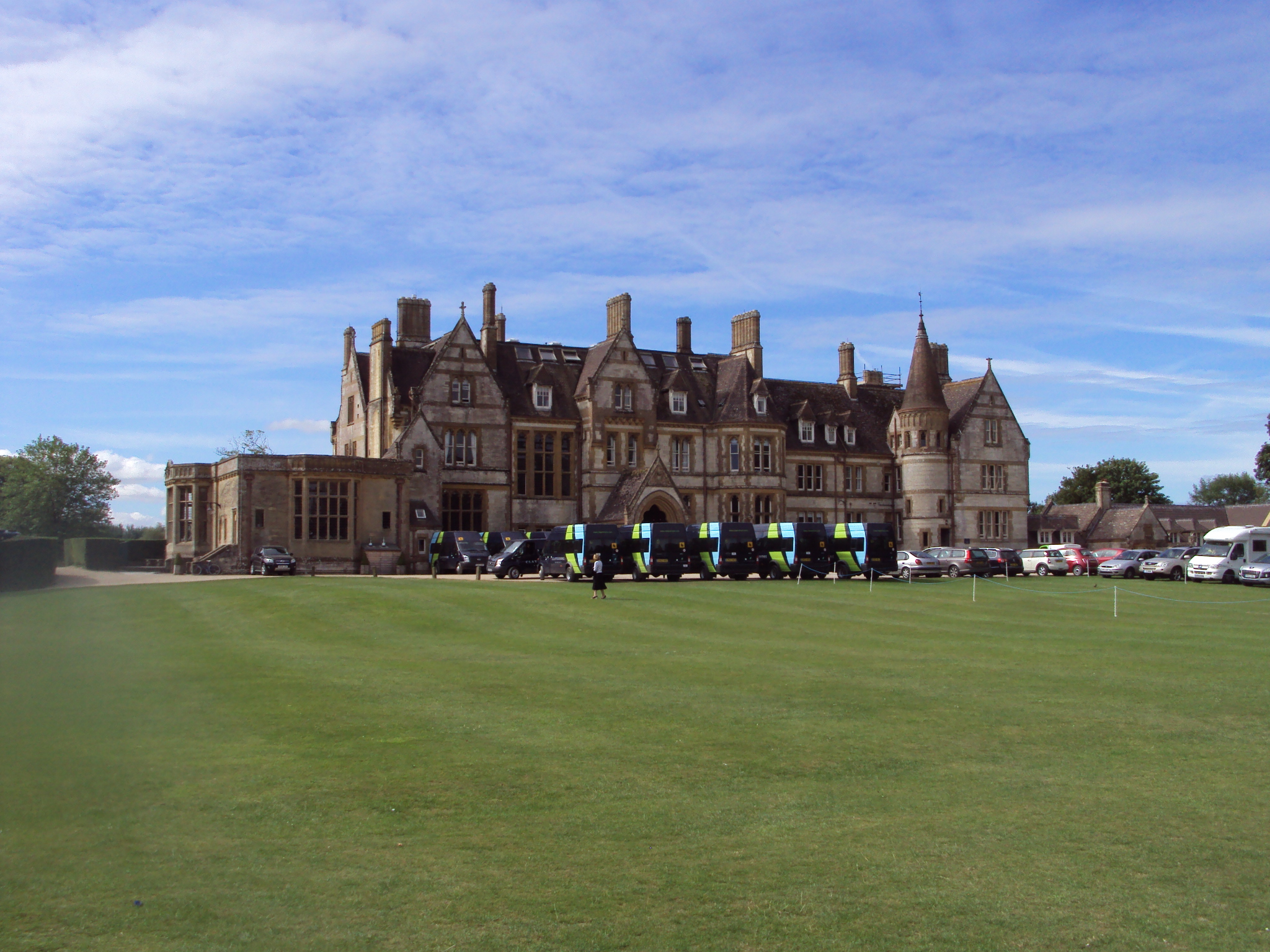
Three Cornered Wood Images
Images are sourced within 2km of 50.913319/-2.1921473 or Grid Reference ST8612. Thanks to Geograph Open Source API. All images are credited.

Three Cornered Wood is located at Grid Ref: ST8612 (Lat: 50.913319, Lng: -2.1921473)
Unitary Authority: Dorset
Police Authority: Dorset
What 3 Words
///diamond.change.thrashing. Near Child Okeford, Dorset
Nearby Locations
Related Wikis

Iwerne Courtney
Iwerne Courtney (), also known as Shroton, is a village and civil parish in the English county of Dorset. It lies approximately 4 miles (6 kilometres)...

Iwerne Stepleton
Iwerne Stepleton (anciently Ewern Stapleton, etc.) is a small civil parish and former manor in the county of Dorset, England. The parish comprises about...

Stepleton House
Stepleton House is a 17th-century country house in the parish of Iwerne Stepleton in Dorset, situated about 5 kilometres (3 mi) north of Blandford Forum...

Iwerne Minster
Iwerne Minster ( YOO-ern) is a village and civil parish in Dorset, England. It lies on the edge of the Blackmore Vale, approximately midway between the...
Clayesmore School
Clayesmore School is an independent school for boys and girls, aged 8 – 18 years, in the village of Iwerne Minster, Dorset, England. It is both a day...
Hambledon Hill
Hambledon Hill is a prehistoric hill fort in Dorset, England, in the Blackmore Vale five miles northwest of Blandford Forum. The hill itself is a chalk...

Hod Hill
Hod Hill (or Hodd Hill) is a large hill fort in the Blackmore Vale, 3 miles (5 km) north-west of Blandford Forum, Dorset, England. The fort sits on a 143...

Ash (near Stourpaine)
Ash is a hamlet approximately 0.5 miles (1 km) north of the village of Stourpaine, Dorset, England.Ash was listed in the Domesday Book of 1086. == References... ==
Nearby Amenities
Located within 500m of 50.913319,-2.1921473Have you been to Three Cornered Wood?
Leave your review of Three Cornered Wood below (or comments, questions and feedback).